Adderbury
Settlement in Oxfordshire Cherwell
England
Adderbury
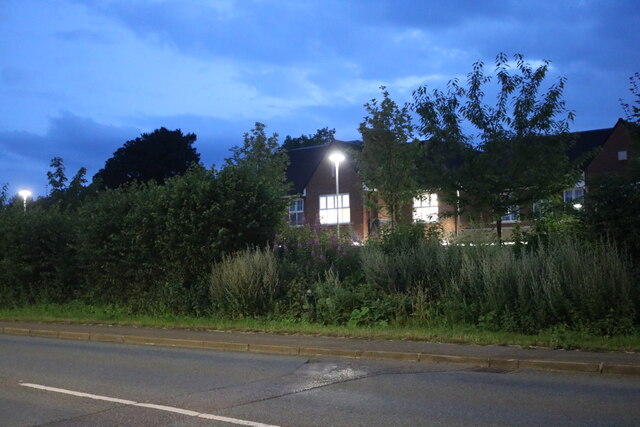
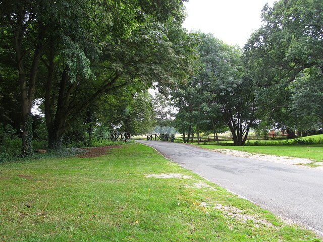
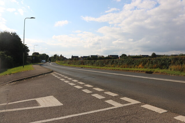
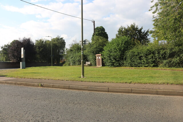
Adderbury is a charming village located in the Cherwell Valley, Oxfordshire, England. Situated about three miles south of Banbury, it lies on the southern edge of the Cotswolds, an Area of Outstanding Natural Beauty. With a population of around 3,000 residents, Adderbury showcases a quintessential English countryside setting with its historic buildings and picturesque landscapes.
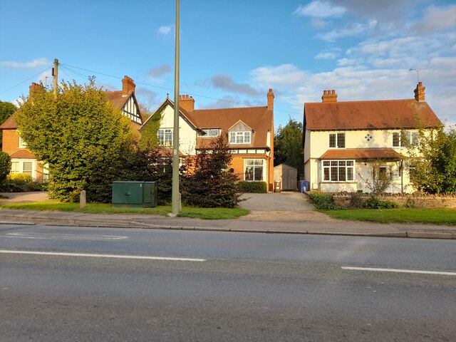
The village is divided into two distinct parts – Adderbury East and Adderbury West – both offering a rich heritage and a vibrant community spirit. Adderbury East is known for its main street, which is lined with traditional thatched cottages and medieval timber-framed houses. The St. Mary's Church, a Grade I listed building, stands proudly in the heart of the village, displaying a mix of architectural styles from the 13th to the 15th century.
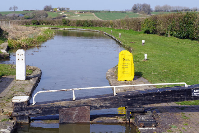
Adderbury West features the beautiful Adderbury Lakes, a series of former gravel pits that have been transformed into a tranquil nature reserve. The lakes provide a habitat for a variety of bird species and offer delightful walking paths for visitors to enjoy. Nearby, the Adderbury House, a grand Georgian mansion, adds to the village's historical allure.
In terms of amenities, Adderbury boasts several pubs, a primary school, a post office, a village hall, and a convenience store. The community actively participates in various events and activities throughout the year, including the annual Adderbury Village Festival, which celebrates local talent and raises funds for community projects.
With its idyllic countryside charm, rich history, and strong community spirit, Adderbury is a delightful place to visit or call home for those seeking a quintessential English village experience.
If you have any feedback on the listing, please let us know in the comments section below.
Adderbury Images
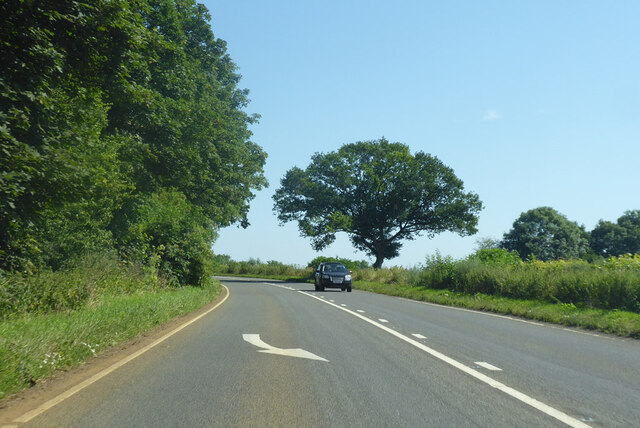
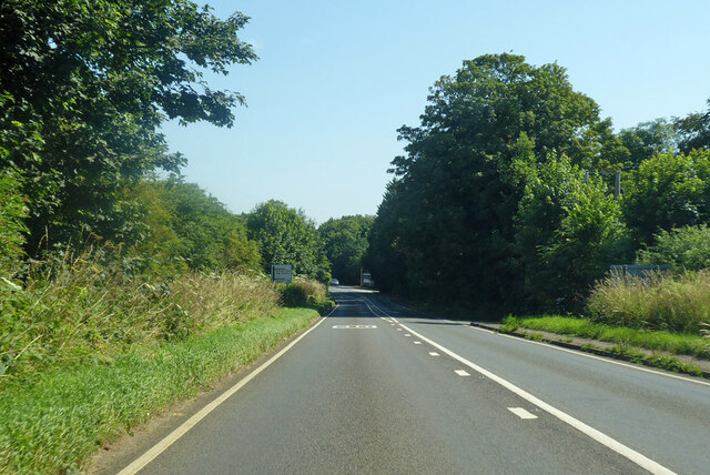
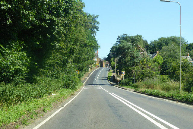
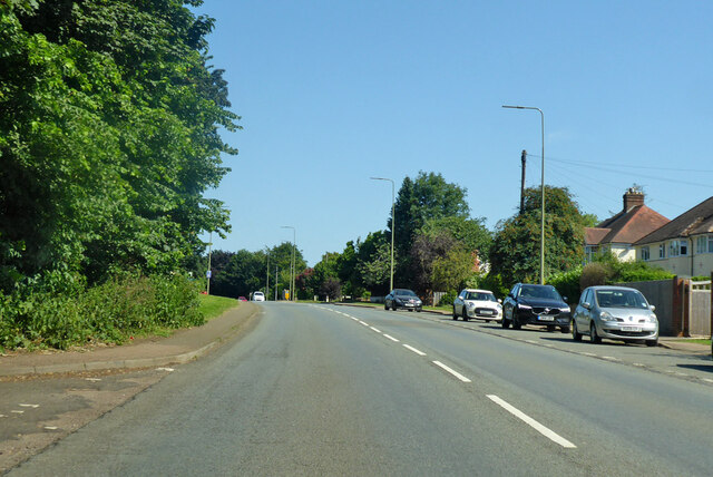
Images are sourced within 2km of 52.016881/-1.311749 or Grid Reference SP4735. Thanks to Geograph Open Source API. All images are credited.


Adderbury is located at Grid Ref: SP4735 (Lat: 52.016881, Lng: -1.311749)
Administrative County: Oxfordshire
District: Cherwell
Police Authority: Thames Valley
What 3 Words
///rules.examples.motivator. Near Adderbury, Oxfordshire
Nearby Locations
Related Wikis

Adderbury
Adderbury is a winding linear village and rural civil parish about 3 miles (5 km) south of Banbury in northern Oxfordshire, England. The settlement has...

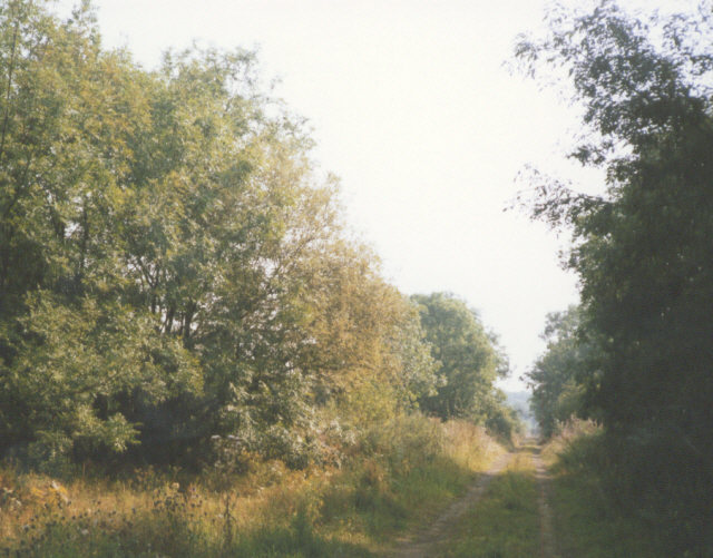
Adderbury Lakes
Adderbury Lakes is a 1.8-hectare (4.4-acre) Local Nature Reserve in Adderbury in Oxfordshire. It is owned and managed by Adderbury Parish Council.The...

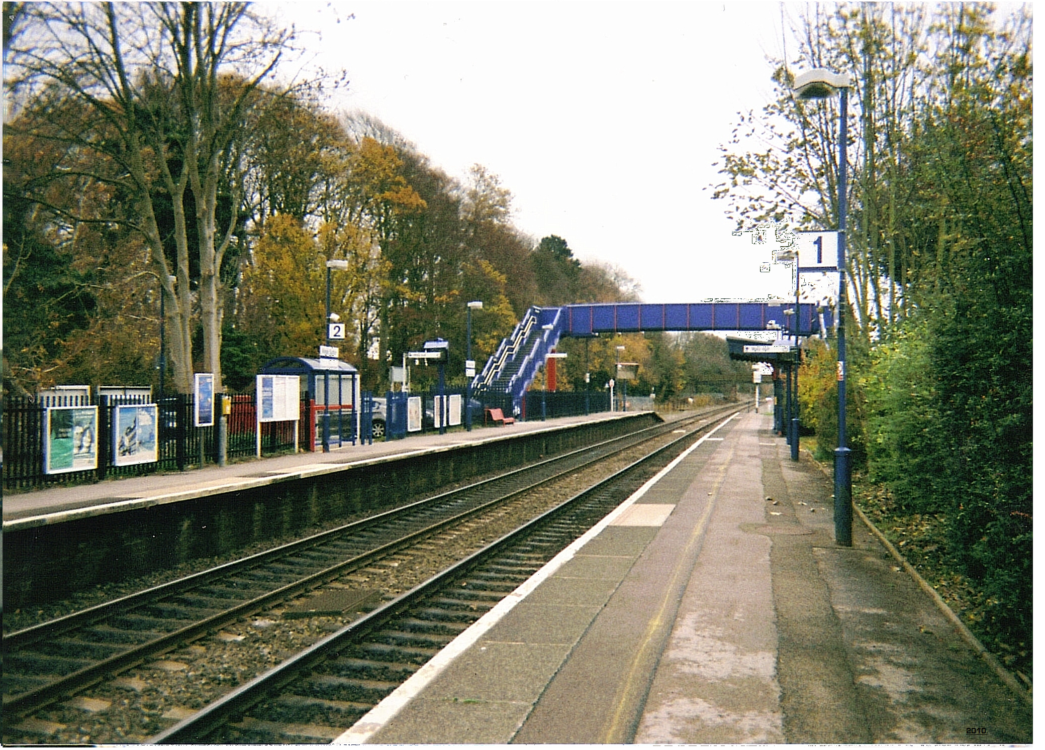
Adderbury railway station
Adderbury railway station served the village of Adderbury in Oxfordshire, England. == History == The station was built by the Banbury and Cheltenham Direct...

Sor Brook
The Sor Brook is a brook located mostly in Oxfordshire, in the South of England.From its source at Edge Hill in Warwickshire, it flows to the west of Banbury...
Milton Halt railway station
Milton Halt railway station is a former railway station that served the village of Milton in northern Oxfordshire, England. == History == The station was...
Kings Sutton railway station
Kings Sutton railway station serves the village of King's Sutton in Northamptonshire, England. It is also one of the nearest railway stations to the town...

Milton, Cherwell
Milton is a village and civil parish about 2.5 miles (4 km) south of Banbury in Oxfordshire, on the Milton road between the villages of Adderbury and Bloxham...

Bodicote
Bodicote is a village and civil parish in North Oxfordshire, approximately 2 miles (3 km) south of the centre of Banbury. The 2011 Census recorded the...
Nearby Amenities
Located within 500m of 52.016881,-1.311749Have you been to Adderbury?
Leave your review of Adderbury below (or comments, questions and feedback).