East Adderbury
Settlement in Oxfordshire Cherwell
England
East Adderbury

East Adderbury is a charming village located in the county of Oxfordshire, England. Situated just two miles south of the market town of Banbury, East Adderbury is known for its picturesque surroundings and rich history. The village is part of the larger civil parish of Adderbury, which also includes West Adderbury and Adderbury itself.
With a population of around 1,000 residents, East Adderbury offers a close-knit community atmosphere. The village is characterized by its traditional Cotswold stone houses, quaint thatched cottages, and well-manicured gardens. It boasts a peaceful and tranquil environment, making it an ideal place for those seeking a quieter lifestyle.
East Adderbury is home to the St. Mary's Church, a beautiful medieval structure dating back to the 13th century. The church is a significant landmark and showcases stunning architectural details, including its impressive stained glass windows. The village also features a primary school, which provides education to local children.
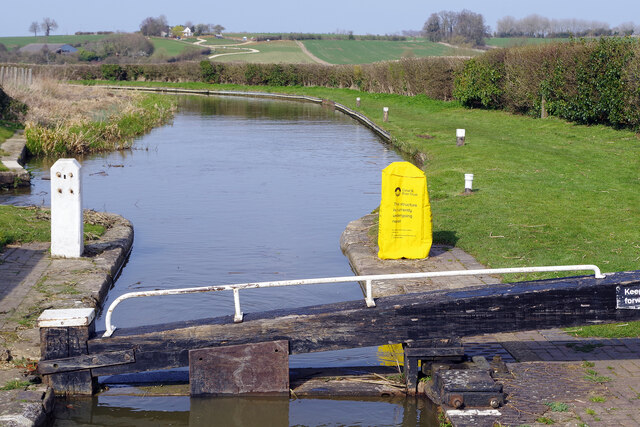
The nearby countryside offers ample opportunities for outdoor activities. The Oxford Canal runs through the village, providing a scenic route for walkers and cyclists. Additionally, the Adderbury Lakes Nature Reserve is a haven for birdwatchers and nature enthusiasts, with its diverse range of wildlife and serene lakes.
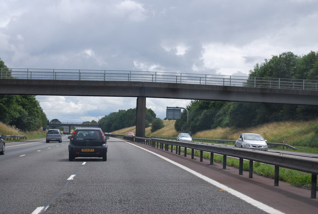
Despite its peaceful ambiance, East Adderbury benefits from its close proximity to Banbury. The town offers a wide range of amenities, including supermarkets, shops, restaurants, and leisure facilities. The village also benefits from excellent transport links, with easy access to major road networks, making it convenient for commuters.
Overall, East Adderbury offers a harmonious blend of rural charm, community spirit, and convenient access to nearby amenities, making it an attractive place to live for both families and individuals seeking a tranquil yet well-connected location.
If you have any feedback on the listing, please let us know in the comments section below.
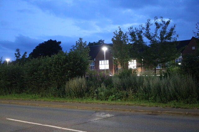
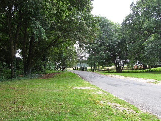
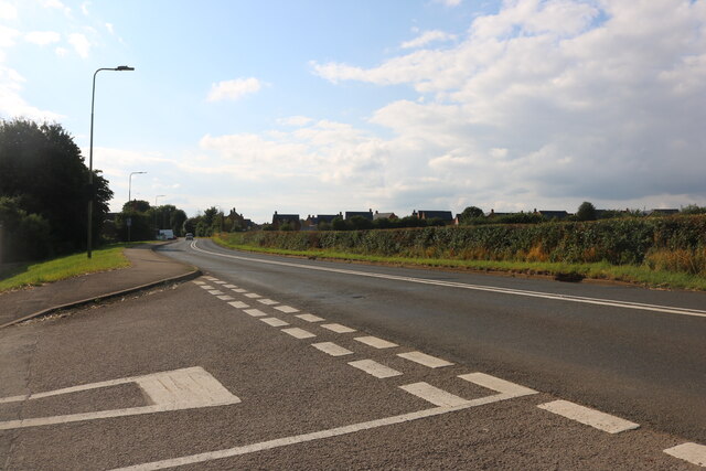
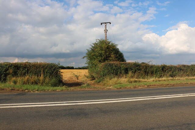
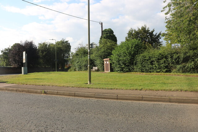
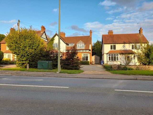
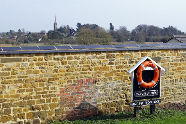
East Adderbury Images
Images are sourced within 2km of 52.018133/-1.313609 or Grid Reference SP4735. Thanks to Geograph Open Source API. All images are credited.


East Adderbury is located at Grid Ref: SP4735 (Lat: 52.018133, Lng: -1.313609)
Administrative County: Oxfordshire
District: Cherwell
Police Authority: Thames Valley
What 3 Words
///mush.tentacles.closes. Near Adderbury, Oxfordshire
Nearby Locations
Related Wikis

Adderbury
Adderbury is a winding linear village and rural civil parish about 3 miles (5 km) south of Banbury in northern Oxfordshire, England. The settlement has...

Adderbury Lakes
Adderbury Lakes is a 1.8-hectare (4.4-acre) Local Nature Reserve in Adderbury in Oxfordshire. It is owned and managed by Adderbury Parish Council.The...

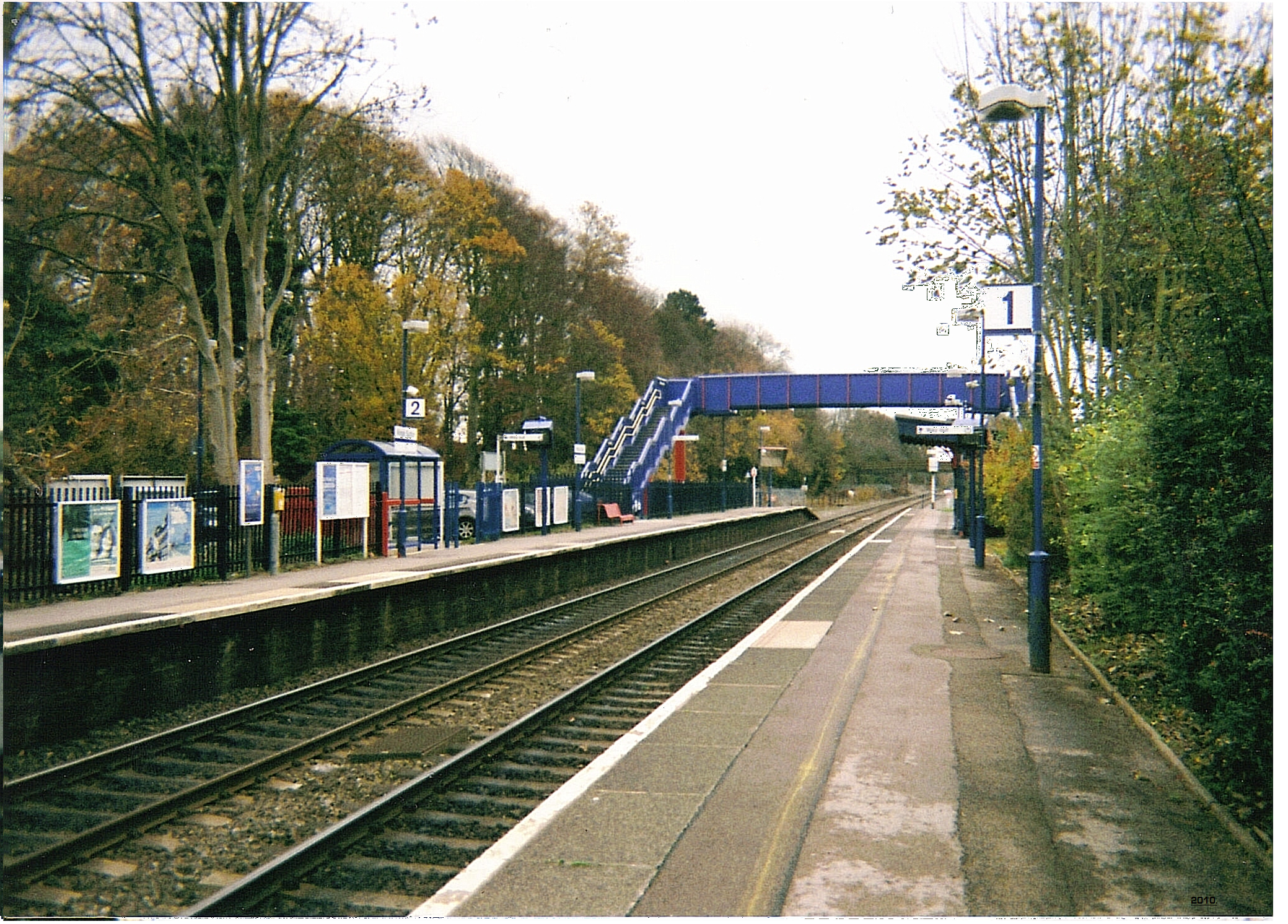
Adderbury railway station
Adderbury railway station served the village of Adderbury in Oxfordshire, England. == History == The station was built by the Banbury and Cheltenham Direct...

Sor Brook
The Sor Brook is a brook located mostly in Oxfordshire, in the South of England.From its source at Edge Hill in Warwickshire, it flows to the west of Banbury...
Milton Halt railway station
Milton Halt railway station is a former railway station that served the village of Milton in northern Oxfordshire, England. == History == The station was...

Milton, Cherwell
Milton is a village and civil parish about 2.5 miles (4 km) south of Banbury in Oxfordshire, on the Milton road between the villages of Adderbury and Bloxham...
Kings Sutton railway station
Kings Sutton railway station serves the village of King's Sutton in Northamptonshire, England. It is also one of the nearest railway stations to the town...

Bodicote
Bodicote is a village and civil parish in North Oxfordshire, approximately 2 miles (3 km) south of the centre of Banbury. The 2011 Census recorded the...
Nearby Amenities
Located within 500m of 52.018133,-1.313609Have you been to East Adderbury?
Leave your review of East Adderbury below (or comments, questions and feedback).