Adderbury Lakes and Gardens
Downs, Moorland in Oxfordshire Cherwell
England
Adderbury Lakes and Gardens

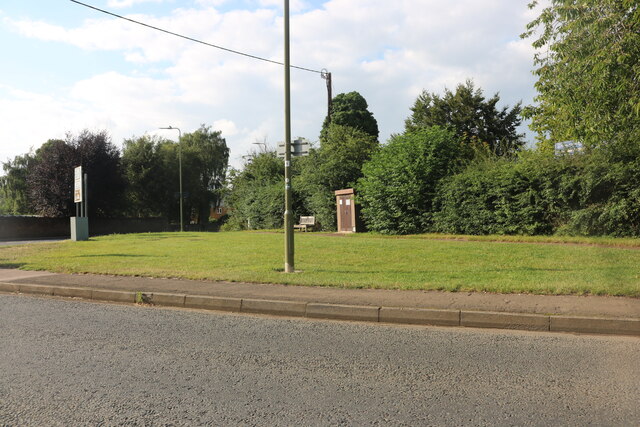
Adderbury Lakes and Gardens is a picturesque nature reserve located in Oxfordshire, England. Spanning over 50 acres, this enchanting site is a haven for wildlife and a popular destination for nature lovers and outdoor enthusiasts.
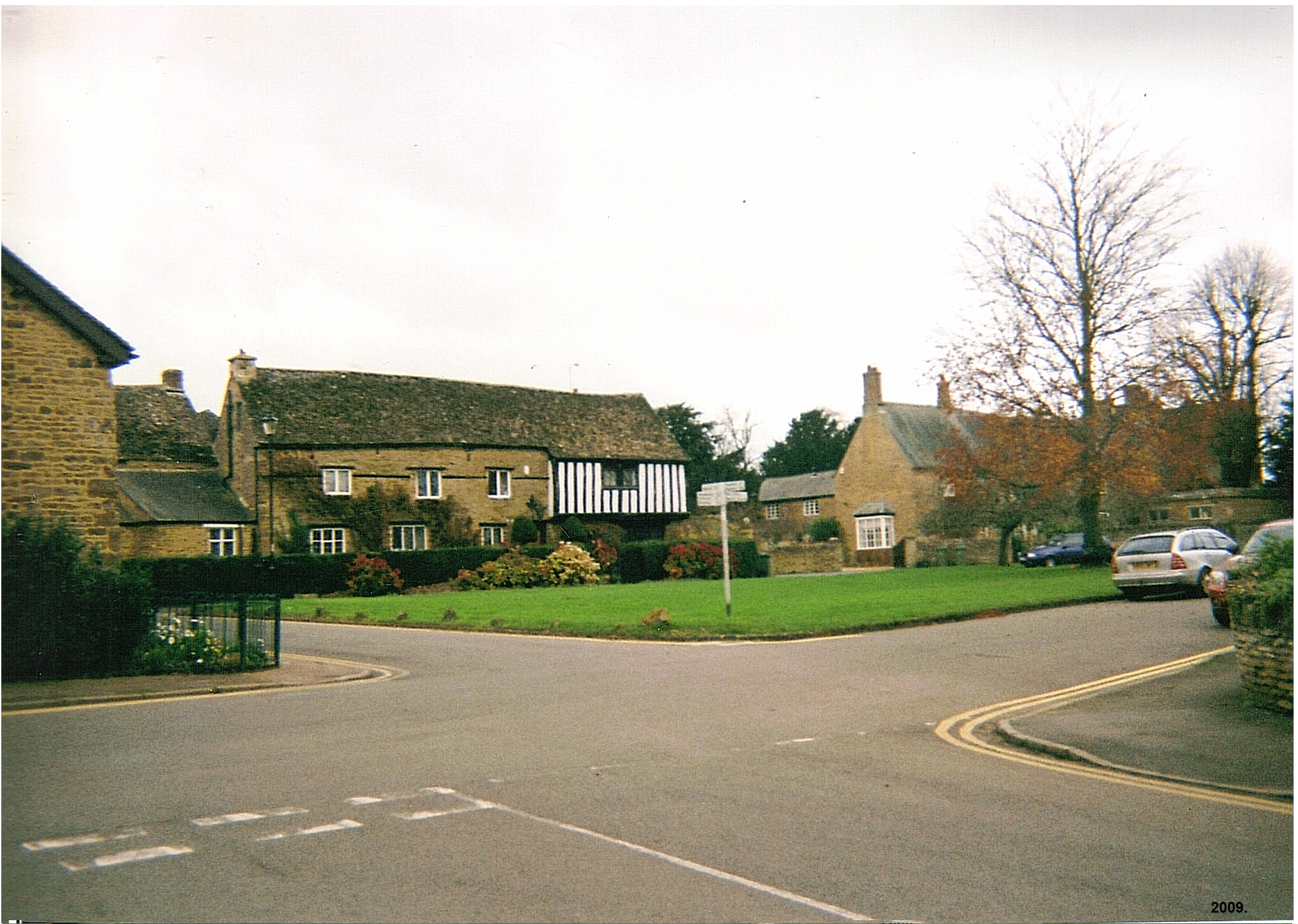
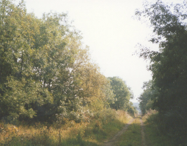
The lakes and gardens are nestled within the idyllic Adderbury village, surrounded by stunning countryside, downs, and moorland. The reserve features a magnificent collection of lakes, each with its own distinct character and teeming with diverse flora and fauna. Visitors can enjoy leisurely walks along the well-maintained trails that wind through the lush gardens, offering breathtaking views of the surrounding landscape.
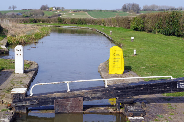
The abundance of wildlife in Adderbury Lakes and Gardens is truly remarkable. The lakes are home to a variety of bird species, including swans, ducks, and herons, making it a haven for birdwatchers. The tranquil ponds are also inhabited by a myriad of fish, providing a serene spot for fishing enthusiasts.
The gardens within the reserve are meticulously landscaped, showcasing a vibrant array of flowers, shrubs, and trees. Visitors can marvel at the stunning displays of seasonal blooms, from colorful spring blossoms to vibrant autumn foliage. The gardens also feature well-maintained lawns, picnic areas, and benches, perfect for relaxation and enjoying a peaceful day out.
Adderbury Lakes and Gardens is a true gem of Oxfordshire, offering a tranquil retreat from the hustle and bustle of city life. Its natural beauty, diverse wildlife, and serene atmosphere make it a must-visit destination for those seeking a connection with nature. Whether for a leisurely stroll, birdwatching, or simply to enjoy the peaceful surroundings, Adderbury Lakes and Gardens is a delightful escape in the heart of Oxfordshire.
If you have any feedback on the listing, please let us know in the comments section below.
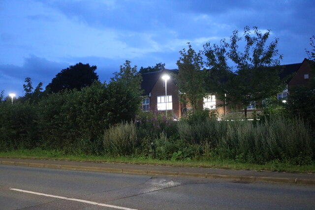
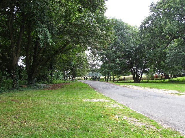
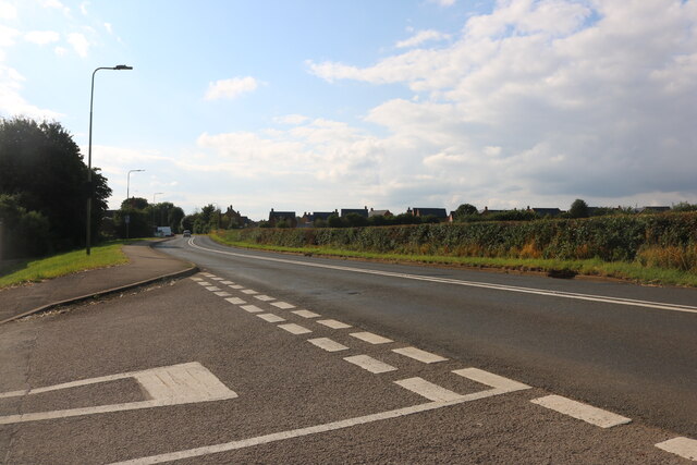
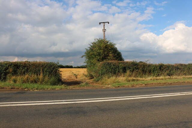
Adderbury Lakes and Gardens Images
Images are sourced within 2km of 52.01549/-1.3069033 or Grid Reference SP4735. Thanks to Geograph Open Source API. All images are credited.


Adderbury Lakes and Gardens is located at Grid Ref: SP4735 (Lat: 52.01549, Lng: -1.3069033)
Administrative County: Oxfordshire
District: Cherwell
Police Authority: Thames Valley
What 3 Words
///chart.vowed.inner. Near Adderbury, Oxfordshire
Nearby Locations
Related Wikis

Adderbury Lakes
Adderbury Lakes is a 1.8-hectare (4.4-acre) Local Nature Reserve in Adderbury in Oxfordshire. It is owned and managed by Adderbury Parish Council.The...

Adderbury
Adderbury is a winding linear village and rural civil parish about 3 miles (5 km) south of Banbury in northern Oxfordshire, England. The settlement has...

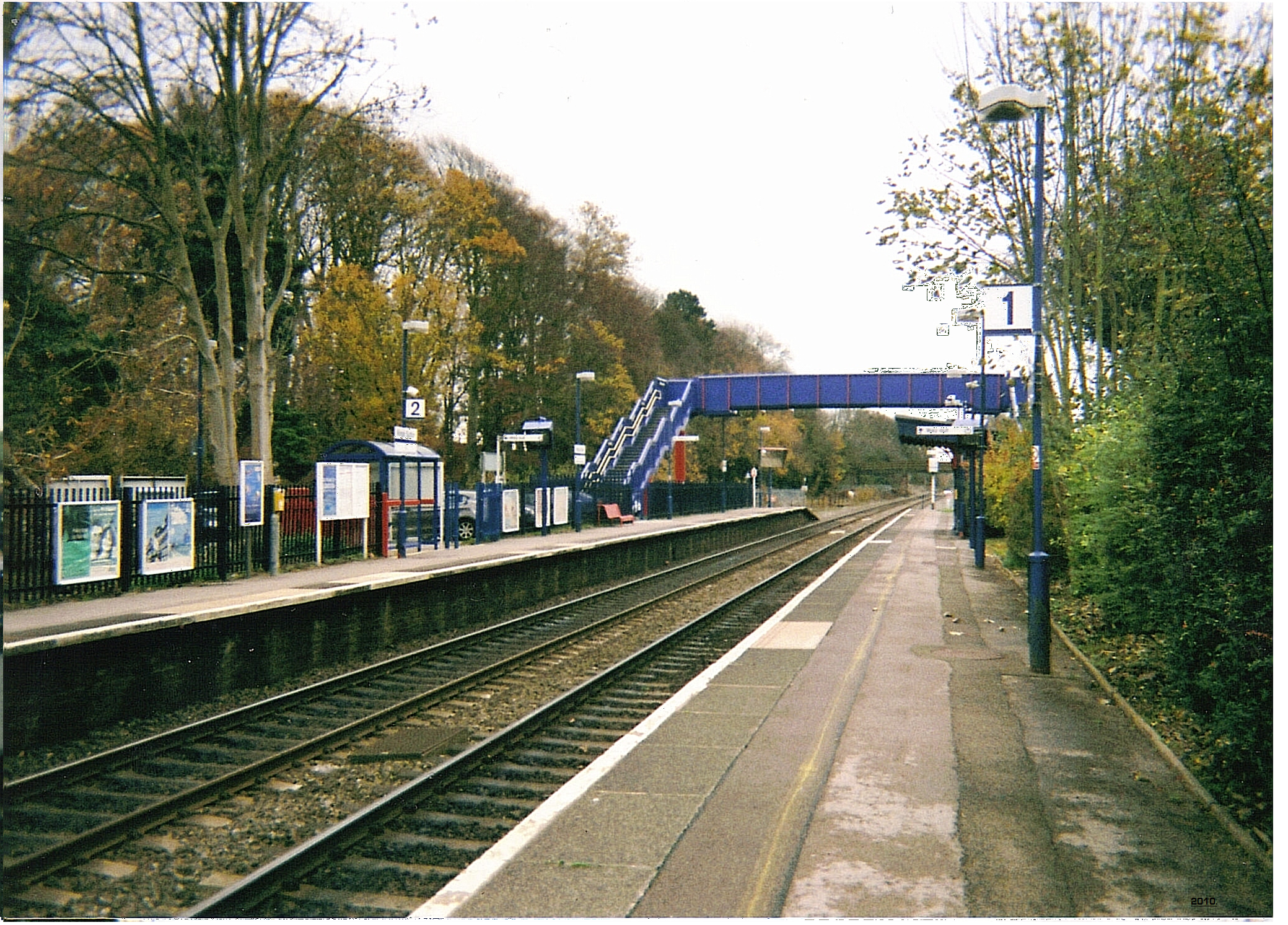
Adderbury railway station
Adderbury railway station served the village of Adderbury in Oxfordshire, England. == History == The station was built by the Banbury and Cheltenham Direct...

Sor Brook
The Sor Brook is a brook located mostly in Oxfordshire, in the South of England.From its source at Edge Hill in Warwickshire, it flows to the west of Banbury...
Kings Sutton railway station
Kings Sutton railway station serves the village of King's Sutton in Northamptonshire, England. It is also one of the nearest railway stations to the town...
King's Sutton
King's Sutton is a village and civil parish in West Northamptonshire, Northamptonshire, England in the valley of the River Cherwell. The village is about...
Milton Halt railway station
Milton Halt railway station is a former railway station that served the village of Milton in northern Oxfordshire, England. == History == The station was...

River Swere
The River Swere is a stream in Oxfordshire, England, with a length of 2.09 kilometres and an elevation of 322 feet. The river's source lies around Swerford...
Nearby Amenities
Located within 500m of 52.01549,-1.3069033Have you been to Adderbury Lakes and Gardens?
Leave your review of Adderbury Lakes and Gardens below (or comments, questions and feedback).