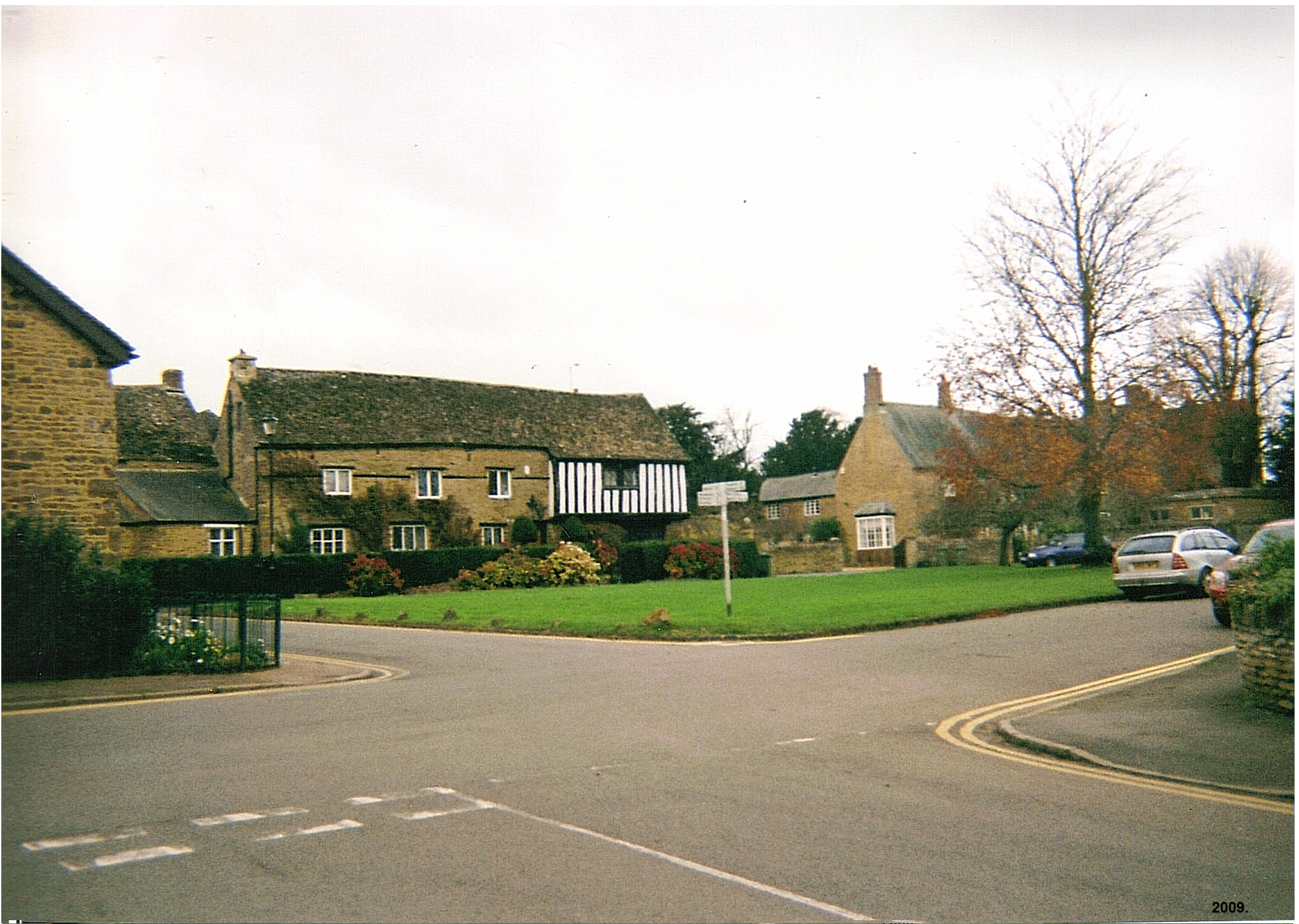
Adderbury
Civil Parish in Oxfordshire Cherwell
England
Adderbury

Adderbury is a civil parish located in Oxfordshire, England. Situated about three miles south of Banbury, the parish covers an area of approximately 2,500 acres. It is a quintessential English village known for its picturesque architecture, historical significance, and vibrant community.
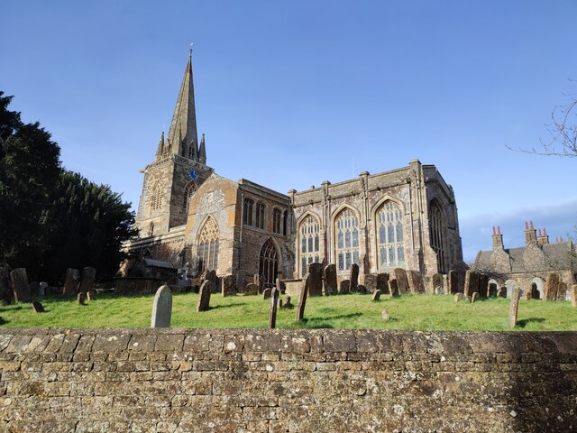
The village of Adderbury is divided into two parts: Adderbury East and Adderbury West. Adderbury East contains the older part of the village, with many buildings dating back to the 17th and 18th centuries. It is characterized by its traditional thatched cottages, quaint village green, and the beautiful St. Mary's Church, a Grade I listed building with a striking 13th-century tower.
Adderbury West, on the other hand, is a more modern development with a mix of residential and commercial properties. It is home to a range of amenities, including a primary school, shops, pubs, and restaurants, making it a thriving hub for locals and visitors alike.
The village also boasts a rich history, with evidence of human occupation dating back to the Iron Age. It was once a significant center for pottery production, and remnants of kilns can still be found in the area. Additionally, Adderbury is known for its Morris dancing tradition, with a longstanding Morris side that has been active since the early 1970s.
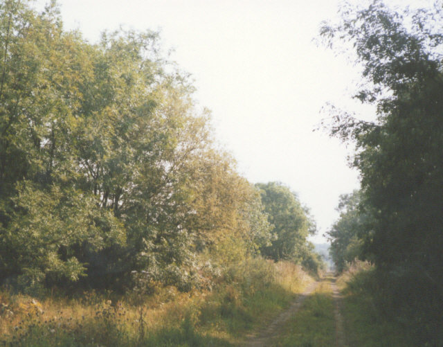
Surrounded by beautiful Oxfordshire countryside, Adderbury offers ample opportunities for outdoor activities, such as walking, cycling, and horse riding. The village is well connected to neighboring towns and cities by road and rail, with Banbury train station just a short distance away.
Overall, Adderbury is a charming village that combines historical charm with a vibrant community spirit, making it an appealing destination for residents and visitors alike.
If you have any feedback on the listing, please let us know in the comments section below.
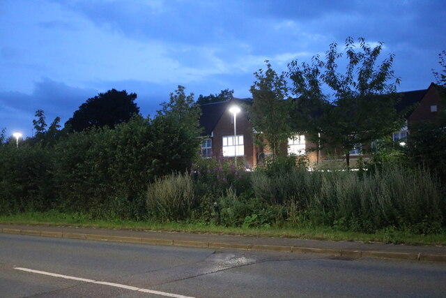
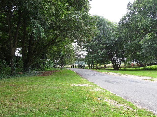
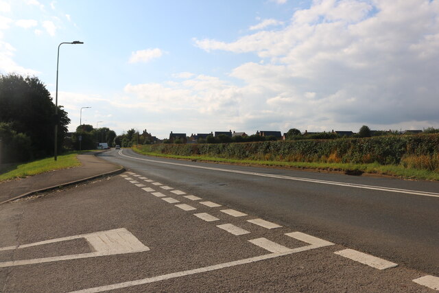
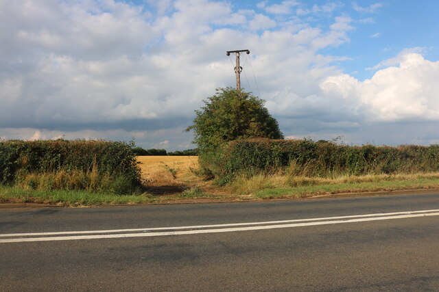
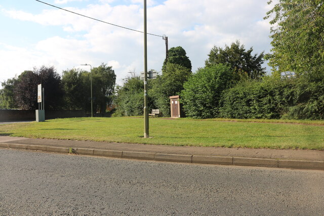
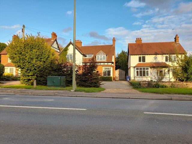
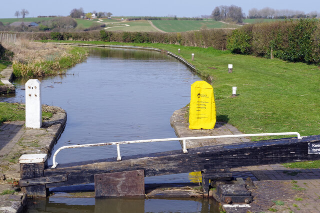
Adderbury Images
Images are sourced within 2km of 52.015037/-1.306939 or Grid Reference SP4735. Thanks to Geograph Open Source API. All images are credited.


Adderbury is located at Grid Ref: SP4735 (Lat: 52.015037, Lng: -1.306939)
Administrative County: Oxfordshire
District: Cherwell
Police Authority: Thames Valley
What 3 Words
///daunted.suffice.stubbed. Near Adderbury, Oxfordshire
Nearby Locations
Related Wikis

Adderbury Lakes
Adderbury Lakes is a 1.8-hectare (4.4-acre) Local Nature Reserve in Adderbury in Oxfordshire. It is owned and managed by Adderbury Parish Council.The...

Adderbury
Adderbury is a winding linear village and rural civil parish about 3 miles (5 km) south of Banbury in northern Oxfordshire, England. The settlement has...

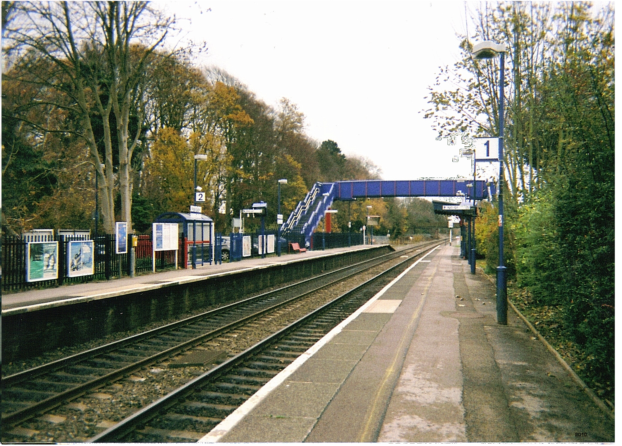
Adderbury railway station
Adderbury railway station served the village of Adderbury in Oxfordshire, England. == History == The station was built by the Banbury and Cheltenham Direct...

Sor Brook
The Sor Brook is a brook located mostly in Oxfordshire, in the South of England.From its source at Edge Hill in Warwickshire, it flows to the west of Banbury...
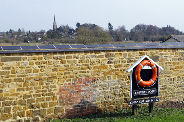
Kings Sutton railway station
Kings Sutton railway station serves the village of King's Sutton in Northamptonshire, England. It is also one of the nearest railway stations to the town...
King's Sutton
King's Sutton is a village and civil parish in West Northamptonshire, Northamptonshire, England in the valley of the River Cherwell. The village is about...
Milton Halt railway station
Milton Halt railway station is a former railway station that served the village of Milton in northern Oxfordshire, England. == History == The station was...

River Swere
The River Swere is a stream in Oxfordshire, England, with a length of 2.09 kilometres and an elevation of 322 feet. The river's source lies around Swerford...
Nearby Amenities
Located within 500m of 52.015037,-1.306939Have you been to Adderbury?
Leave your review of Adderbury below (or comments, questions and feedback).