Adderley
Civil Parish in Cheshire
England
Adderley

Adderley is a civil parish located in the county of Cheshire, in the northwest of England. It is situated approximately 6 miles north of the town of Market Drayton and about 15 miles northeast of the city of Shrewsbury. The village is nestled within a picturesque rural landscape, characterized by rolling hills, open fields, and charming countryside views.
The parish of Adderley covers an area of around 1,450 hectares and is home to a small but close-knit community. The village itself is relatively small, with a population of around 300 residents. It has a quiet and tranquil atmosphere, making it an ideal place for those looking to escape the hustle and bustle of city life.
The village of Adderley is rich in history and boasts several notable landmarks. One such landmark is Adderley Hall, a beautiful mansion house that dates back to the 16th century. The hall is known for its stunning architecture and is surrounded by well-maintained gardens.
In terms of amenities, Adderley has a village hall that serves as a community hub, hosting various events and activities throughout the year. There is also a local pub, which provides a gathering place for residents and visitors alike.
The surrounding area offers plenty of opportunities for outdoor activities, such as walking, cycling, and horse riding. The nearby Shropshire Union Canal is a popular spot for boating and fishing enthusiasts.
Overall, Adderley is a charming village that offers a peaceful and idyllic setting for its residents. Its rich history, stunning countryside, and sense of community make it a truly special place to live or visit.
If you have any feedback on the listing, please let us know in the comments section below.
Adderley Images
Images are sourced within 2km of 52.945382/-2.518247 or Grid Reference SJ6538. Thanks to Geograph Open Source API. All images are credited.


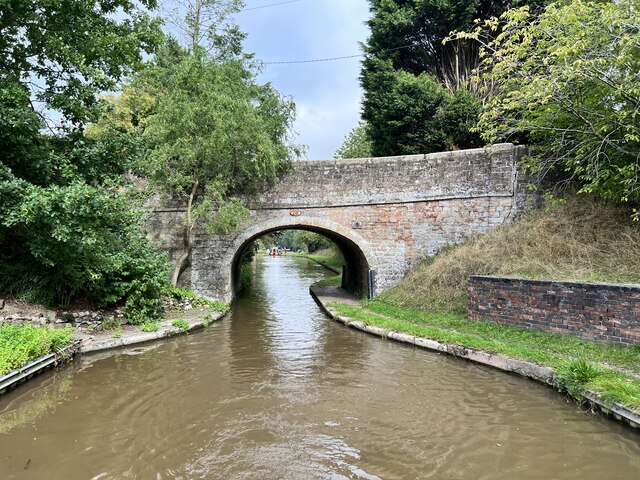
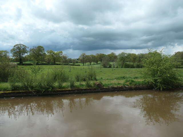
![Looking south to Betton Coppice bridge [no 67] The Shropshire Union canal's towpath switches sides at this bridge, as does the civil parish boundary that follows the towpath.](https://s0.geograph.org.uk/geophotos/07/51/66/7516672_2367bdaa.jpg)


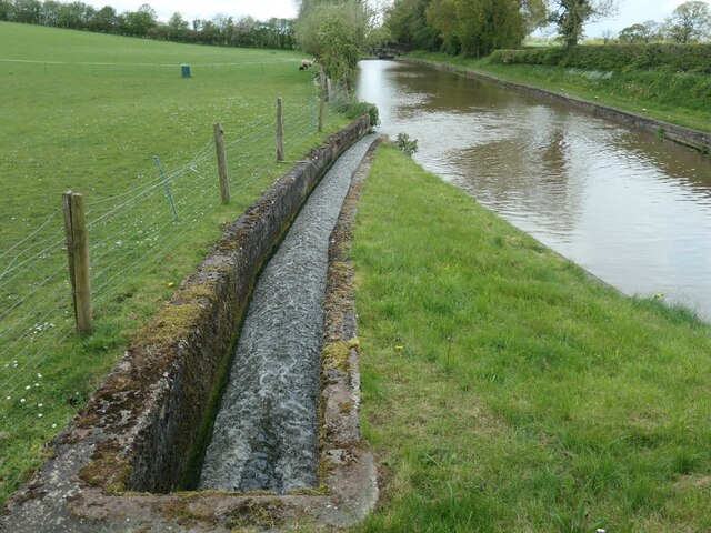
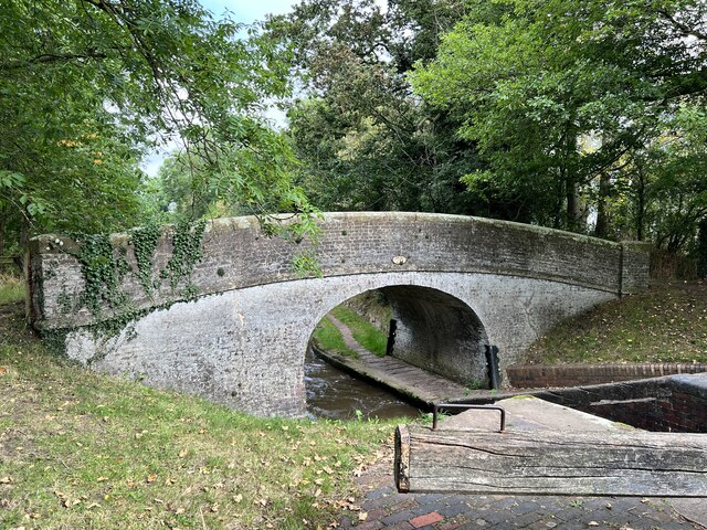
![The pound between locks 2 & 3, Adderley flight Seen from Wems Bridge [no 70]. Hundreds of gritty tow ropes have worn grooves in the bridge's iron fender.](https://s3.geograph.org.uk/geophotos/07/51/67/7516771_a299730f.jpg)


Adderley is located at Grid Ref: SJ6538 (Lat: 52.945382, Lng: -2.518247)
Unitary Authority: Shropshire
Police Authority: West Mercia
What 3 Words
///aliens.passenger.motorist. Near Market Drayton, Shropshire
Nearby Locations
Related Wikis

St Peter's Church, Adderley
St Peter's Church is an Anglican church in the village of Adderley, Shropshire, England. It is recorded in the National Heritage List for England as a...

Adderley
Adderley is a village and civil parish in the English county of Shropshire, several kilometres north of Market Drayton. It is known as Eldredelei in the...

Adderley railway station
Adderley railway station was a station serving the village of Adderley in the English county of Shropshire. == History == The station was built by the...

Ridgwardine
Ridgwardine is a small hamlet in Shropshire in the civil parish of Norton in Hales. It is made up of Ridgwardine Manor, Upper Farm, and Manor Farm. �...
Coxbank Halt railway station
Coxbank Halt railway station was located in Audlem, Cheshire, England. The station was opened by the Great Western Railway, the station closed on 9 September...

Highfields, Buerton
Highfields is a small country house in the civil parish of Buerton, Cheshire, England. It is recorded in the National Heritage List for England as a designated...

Styche Hall
Styche Hall is a country house near Market Drayton, Shropshire. It was home to the Clive family and is a Grade II listed building. Styche belonged to the...

Audlem railway station
Audlem railway station was a station on the former Great Western Railway between Market Drayton and Nantwich, opened in 1863. It served the village of...
Related Videos
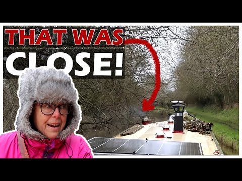
139 - A Collision With A Tree, Adderley Locks And A Winter Cruise Along The Shropshire Union Canal
Today we head through a further 5 locks as we tackle the Adderley flight. As we make our way towards Market Drayton a low tree ...
Nearby Amenities
Located within 500m of 52.945382,-2.518247Have you been to Adderley?
Leave your review of Adderley below (or comments, questions and feedback).