Adderstone with Lucker
Civil Parish in Northumberland
England
Adderstone with Lucker
Adderstone with Lucker is a civil parish located in the county of Northumberland, in the northeastern part of England. It covers an area of approximately 8 square miles and is situated about 6 miles south of the town of Bamburgh.
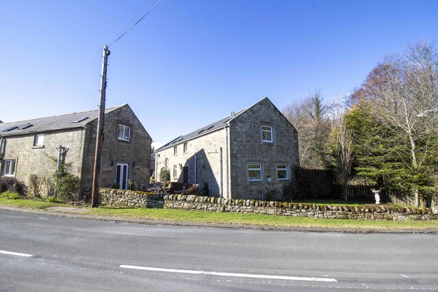
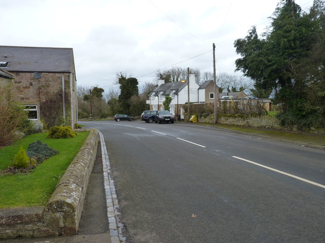
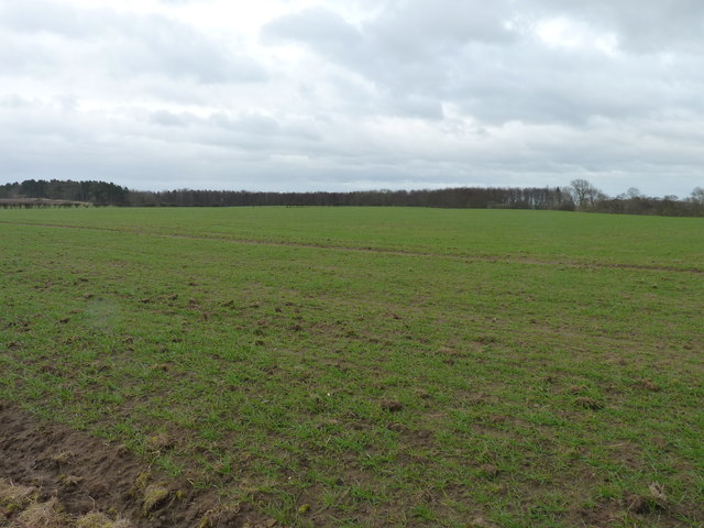
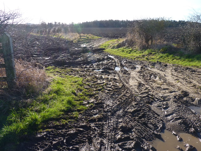
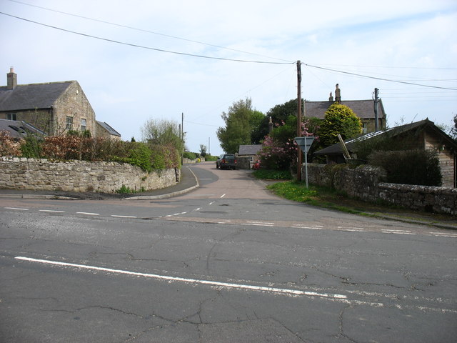
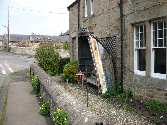
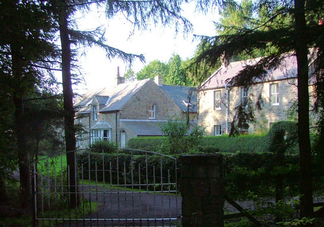
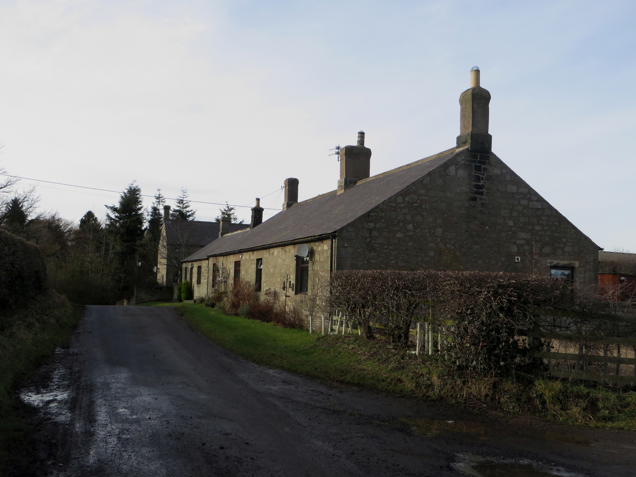
The civil parish consists of two villages, Adderstone and Lucker, which are small rural settlements surrounded by picturesque countryside. The area is known for its natural beauty, with rolling hills, open fields, and a coastline that is just a few miles to the east.
Adderstone, the larger of the two villages, is a quaint and charming settlement with a population of around 150 people. It features a mix of traditional stone-built houses and more modern residences. The village has a strong sense of community and is home to a local pub and a village hall, which serves as a gathering place for various events and activities.
Lucker, with a population of approximately 100 residents, is a smaller village located to the north of Adderstone. It has a similar rural character and is surrounded by farmland. The village is known for its attractive cottages and its historic church, which dates back to the 12th century.
Both villages offer a peaceful and idyllic lifestyle, with easy access to the nearby coast and the Northumberland countryside. The area is popular with tourists, who come to enjoy the natural beauty, explore the historic sites, and engage in outdoor activities such as walking, cycling, and birdwatching.
If you have any feedback on the listing, please let us know in the comments section below.
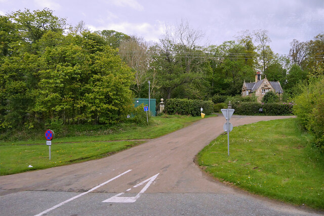
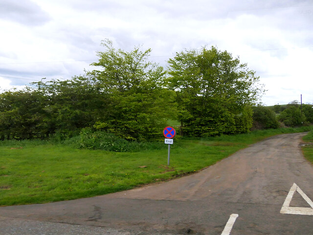
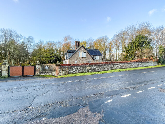
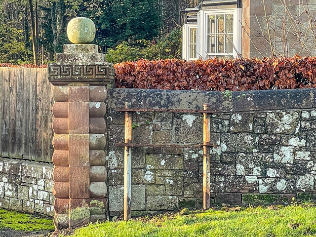
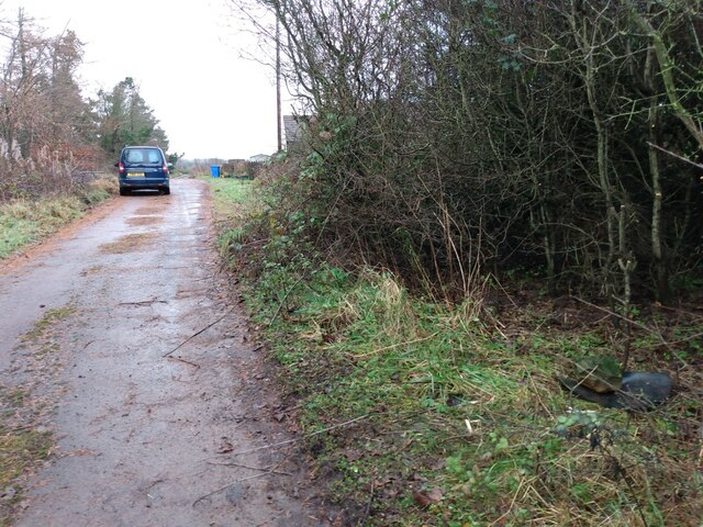
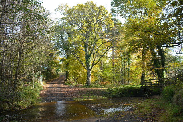
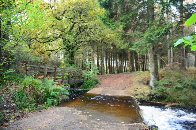
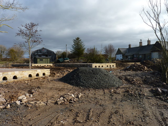
Adderstone with Lucker Images
Images are sourced within 2km of 55.555639/-1.78163 or Grid Reference NU1329. Thanks to Geograph Open Source API. All images are credited.
Adderstone with Lucker is located at Grid Ref: NU1329 (Lat: 55.555639, Lng: -1.78163)
Unitary Authority: Northumberland
Police Authority: Northumbria
What 3 Words
///revolts.slick.squirts. Near Ellingham, Northumberland
Nearby Locations
Related Wikis
Adderstone Hall
Adderstone Hall (grid reference NU141303) is a privately owned Georgian Grecian mansion situated on the bank of the River Warn near Lucker, Northumberland...
Adderstone
Adderstone is a village and former civil parish, now in the parish of Adderstone with Lucker, in the county of Northumberland, England. In 1951 the parish...

Adderstone with Lucker
Adderstone with Lucker is a civil parish in Northumberland, England. The parish includes the villages of Adderstone, Lucker, Warenford, Rosebrough, Newstead...

Lucker
Lucker is a village and former civil parish, now in the parish of Adderstone with Lucker, in the north of the county of Northumberland, England. It is...
Bellshill, Northumberland
Bellshill is a village in Northumberland, in England. It is situated to the south-west of Bamburgh, inland from the North Sea coast. == Governance == Bellshill...
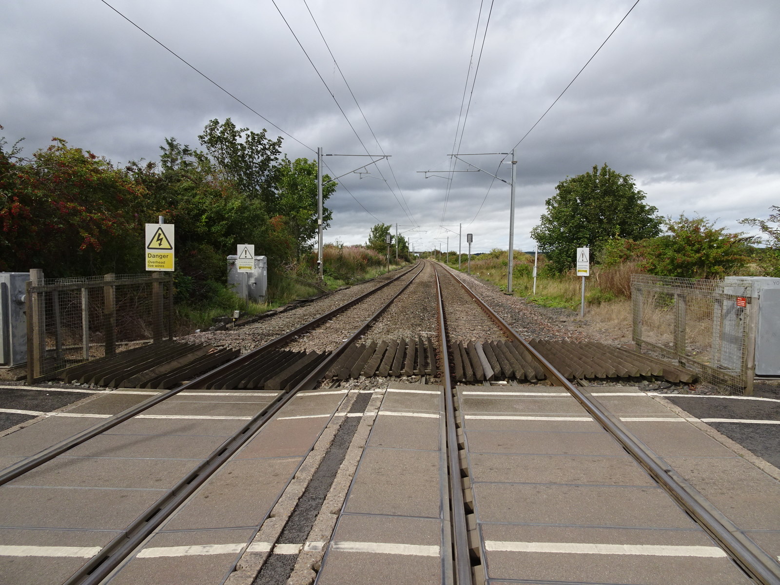
Lucker railway station
Lucker railway station served the village of Lucker, Northumberland, England, from 1847 to 1965 on the East Coast Main Line. == History == The station...

Newham railway station
Newham railway station was a railway station that served the hamlet of Newham Hall, Northumberland, England from 1851 to 1950 on the East Coast Main Line...
Bradford, Adderstone with Lucker
Bradford is a village and former civil parish, now in the parish of Adderstone with Lucker, in the county of Northumberland, England. It is situated to...
Nearby Amenities
Located within 500m of 55.555639,-1.78163Have you been to Adderstone with Lucker?
Leave your review of Adderstone with Lucker below (or comments, questions and feedback).