West Field

Downs, Moorland in Yorkshire

England

West Field

Busy Bees Diner-A1 Derelict cafe at Service Station.
Busy Bees Diner-A1 Credit: Ian Rob

West Field is a picturesque region located in Yorkshire, England, known for its stunning natural beauty and diverse landscapes, encompassing both downs and moorland. Stretching over an area of approximately 500 square kilometers, it is a haven for nature enthusiasts and outdoor adventurers alike.

The downs of West Field are characterized by their rolling hills and lush greenery. The landscape is dotted with charming villages and farms, adding to the region's rural charm. The downs provide a perfect setting for leisurely walks and hikes, offering breathtaking panoramic views of the surrounding countryside.

In contrast, the moorland of West Field offers a more rugged and wild terrain. This vast expanse of open heather-covered hills is a habitat for a variety of wildlife, including birds, mammals, and reptiles. The moorland is crisscrossed by footpaths, allowing visitors to explore its beauty and immerse themselves in the tranquility of nature.

West Field also boasts several notable landmarks, including historical sites such as ancient burial mounds and stone circles, adding a touch of mystery and intrigue to the area. Additionally, there are several charming market towns nearby, offering visitors the opportunity to experience the local culture and indulge in traditional Yorkshire cuisine.

Overall, West Field, with its combination of downs and moorland, offers a unique and captivating landscape that draws visitors from far and wide. Its natural beauty, rich history, and array of outdoor activities make it a must-visit destination for nature lovers and those seeking an escape from the hustle and bustle of city life.

If you have any feedback on the listing, please let us know in the comments section below.
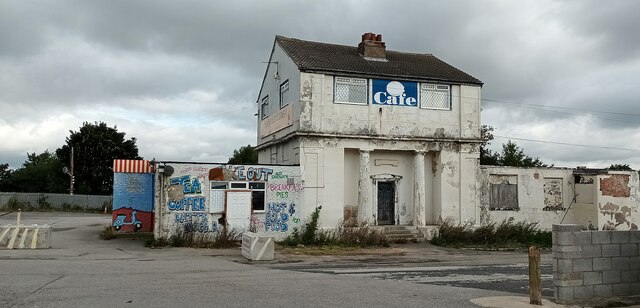
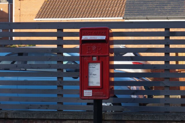
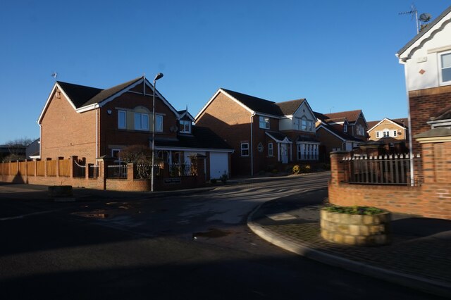
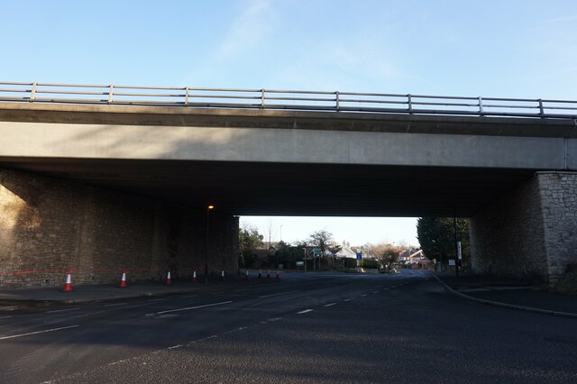
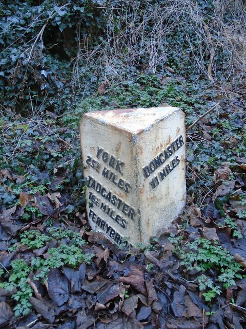
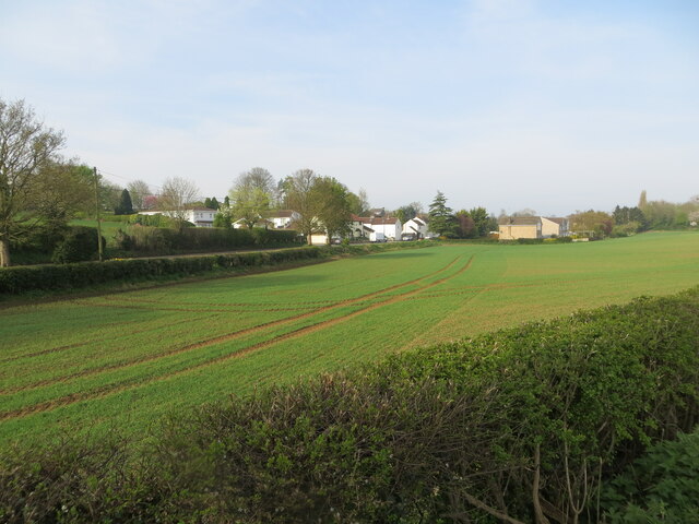
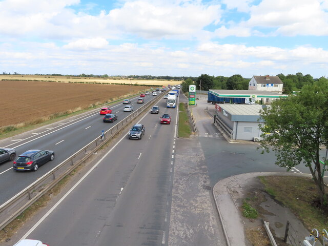
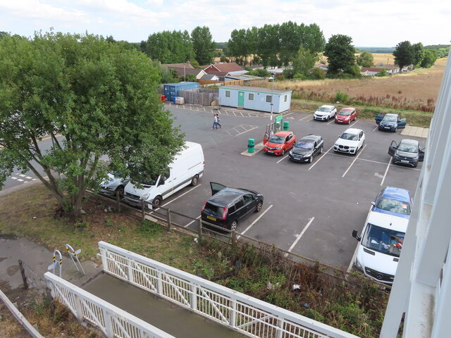
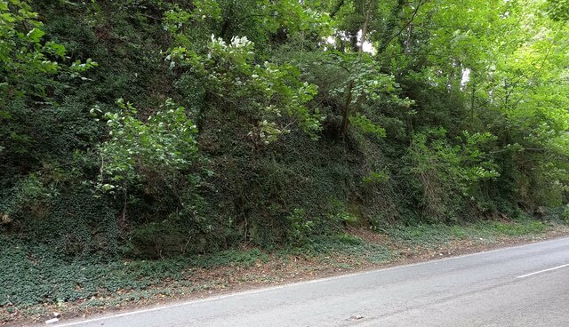
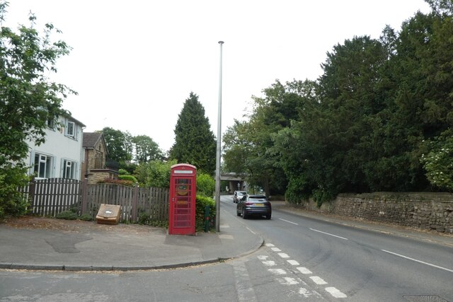
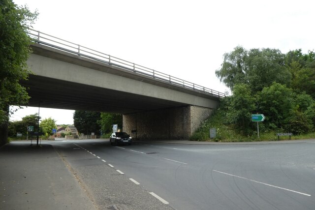
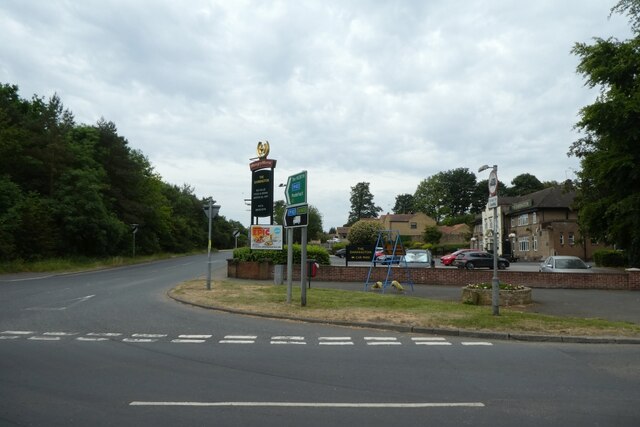
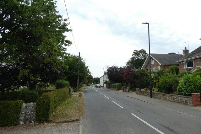
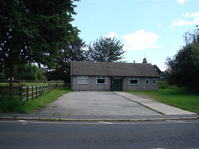
West Field Images

Images are sourced within 2km of 53.668481/-1.2800667 or Grid Reference SE4719. Thanks to Geograph Open Source API. All images are credited.

Busy Bees Diner-A1 Derelict cafe at Service Station.
Busy Bees Diner-A1
Derelict cafe at Service Station.
Postbox on Valley Road, Darrington
Valley Gardens off Valley Road Darrington
A1 goes over Valley Road, Darrington
Old milestone This milestone was one of the 615 erected all over the old West Riding in 1893/94.   It is on the steep hill north out of Wentbridge village. This was the A1 before the Wentbridge viaduct was built across the River Went valley.  The milestone's rounded top was broken off sometime between January 1987 and August 1992.  The legend read TADCASTER & DONCASTER ROAD, DARRINGTON.   It was painted in 2003, possibly by a local resident. it is Grade II listed 1212124
Old milestone
This milestone was one of the 615 erected all over the old West Riding in 1893/94. It is on the steep hill north out of Wentbridge village. This was the A1 before the Wentbridge viaduct was built across the River Went valley. The milestone's rounded top was broken off sometime between January 1987 and August 1992. The legend read TADCASTER & DONCASTER ROAD, DARRINGTON. It was painted in 2003, possibly by a local resident. it is Grade II listed 1212124
Old guidestone This Grade II Listed guidestone which was pushed over in 2016 has now been set upright, fortunately suffering no damage.   It is at a gateless field entrance and a nearby hedge has been removed so that it is easily seen.  It is at the junction of Moor Lane and Hardwick Road which may have been an old route from The Great North Road towards Wakefield.  Faint inscribed legends partially legible on three faces are Doncaster, Pontefract Road and Hardwick.  Listing - 1313231.
Old guidestone
This Grade II Listed guidestone which was pushed over in 2016 has now been set upright, fortunately suffering no damage. It is at a gateless field entrance and a nearby hedge has been removed so that it is easily seen. It is at the junction of Moor Lane and Hardwick Road which may have been an old route from The Great North Road towards Wakefield. Faint inscribed legends partially legible on three faces are Doncaster, Pontefract Road and Hardwick. Listing - 1313231.
Old guidestone A view of the other two faces of the re-erected guidestone.   It has suffered slight damage during resetting upright but that will weather in time.   Hardwick Road is to the left.
Old guidestone
A view of the other two faces of the re-erected guidestone. It has suffered slight damage during resetting upright but that will weather in time. Hardwick Road is to the left.
View over a cultivated field to Darrington Looking south-westward from Havercroft Lane.
View over a cultivated field to Darrington
Looking south-westward from Havercroft Lane.
Darrington services on A1 from footbridge Darrington services have changed ownership and facilities available several times, see Motorway Services Online <span class="nowrap"><a title="https://motorwayservices.uk/Darrington" rel="nofollow ugc noopener" href="https://motorwayservices.uk/Darrington">Link</a><img style="margin-left:2px;" alt="External link" title="External link - shift click to open in new window" src="https://s1.geograph.org.uk/img/external.png" width="10" height="10"/></span> . The footbridge is redundant, it provided access to a bus stop, but that is not active.
Darrington services on A1 from footbridge
Darrington services have changed ownership and facilities available several times, see Motorway Services Online LinkExternal link . The footbridge is redundant, it provided access to a bus stop, but that is not active.
Darrington services car park and West Park Drive The housing beyond the car park is on West Park Drive which leads across to Stapleton. View from footbridge.
Darrington services car park and West Park Drive
The housing beyond the car park is on West Park Drive which leads across to Stapleton. View from footbridge.
Old milestone Another of the 615 original milestones erected for the West Riding County Council in 1893/94.   The contractor was Gill Stead and Son of Heckmondwike.   It was last repainted in 2004 and is set in a concrete base.  This is one of those cast by Brayshaw & Booth, Liversedge.
Old milestone
Another of the 615 original milestones erected for the West Riding County Council in 1893/94. The contractor was Gill Stead and Son of Heckmondwike. It was last repainted in 2004 and is set in a concrete base. This is one of those cast by Brayshaw & Booth, Liversedge.
Old milestone The late 19C West Riding CC milestone on the A639, Hardwick Road, Carleton.  The original attached casting was stolen before August 2007.   Did the thief paint on the crossed swords?   But the 7 is a mystery.  It is not a mileage that can be accounted for looking at the other milestones on this road.  Without its metal attachment this shows how the stone was worked for its fixing in 4 places.   There are 6 of these milestones between Barnsdale Bar and Pontefract with just one remaining north of the town towards Leeds.  Grade II listed 1313284
Old milestone
The late 19C West Riding CC milestone on the A639, Hardwick Road, Carleton. The original attached casting was stolen before August 2007. Did the thief paint on the crossed swords? But the 7 is a mystery. It is not a mileage that can be accounted for looking at the other milestones on this road. Without its metal attachment this shows how the stone was worked for its fixing in 4 places. There are 6 of these milestones between Barnsdale Bar and Pontefract with just one remaining north of the town towards Leeds. Grade II listed 1313284
Wentbridge, B6474 According to the OS benchmark database there is a rivet benchmark cut into the rock on the west side of B6474. The rock is overgrown with lots of foliage. A small search was made where the growth wasn't too thick but nothing was found.
Wentbridge, B6474
According to the OS benchmark database there is a rivet benchmark cut into the rock on the west side of B6474. The rock is overgrown with lots of foliage. A small search was made where the growth wasn't too thick but nothing was found.
East Hardwick, disused well
Phone box in Darrington The phone box now houses a defibrillator. The road is Estcourt Road at the junction with Manor Park Rise.
Phone box in Darrington
The phone box now houses a defibrillator. The road is Estcourt Road at the junction with Manor Park Rise.
A1 bridge in Darrington The bridge carries the A1 over Estcourt Road.
A1 bridge in Darrington
The bridge carries the A1 over Estcourt Road.
The Darrington A pub on the corner of Estcourt Road and the Old Great North Road.
The Darrington
A pub on the corner of Estcourt Road and the Old Great North Road.
Valley Road Looking along Valley Road to the east of the A1 in Darrington.
Valley Road
Looking along Valley Road to the east of the A1 in Darrington.
Show me another place!

West Field is located at Grid Ref: SE4719 (Lat: 53.668481, Lng: -1.2800667)

Division: West Riding

Unitary Authority: Wakefield

Police Authority: West Yorkshire

What 3 Words

///office.puff.anyway. Near Darrington, West Yorkshire

Nearby Locations

West Field

Related Wikis

Carleton, West Yorkshire

Carleton is a small village on the southern outskirts of Pontefract in West Yorkshire, England. The village is home to the parish church of St Michael...

Pontefract North

Pontefract North is an electoral ward of the City of Wakefield district, used for elections to Wakefield Metropolitan District Council. == Overview... ==

Pontefract South

Pontefract South is an electoral ward of the City of Wakefield district, used for elections to Wakefield Metropolitan District Council. == Overview... ==

East Hardwick

East Hardwick is a village and civil parish in the City of Wakefield in West Yorkshire, England. It has a population of 191, reducing to 173 at the 2011...

Related Videos

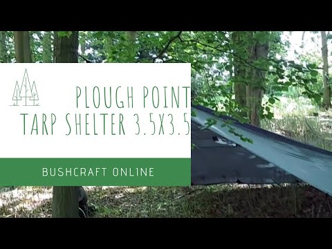
Traditional Plough Point Tarp Setup 3.5x3.5

I know this is slowly turning into a tarp channel but we're nearly done with the various setups & we'll move onto something ...

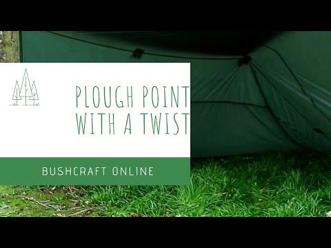
Plough Point Tarp Shelter with a Twist

One last tarp setup then I promise we'll move on to something else. Today we're setting the tarp up using a variation of a plough ...

Enclosed Tarp Shelter

We're back at it again with the 3.5 x 3.5, same tarp different setups. Join us while we setup at tarp shelter, this time forgiving the ...

Guyline Tip Using a Carabiner | Easily Add Tension to Your Line

Easily add tension to you guylines with this simple trick using only a carabiner. No tricky knots or adjustable hitches just simple ...

Nearby Amenities

Located within 500m of 53.668481,-1.2800667
Passing Place
Lat/Long: 53.669089/-1.2746545
Power: pole
Lat/Long: 53.6657946/-1.2837248
Power: pole
Lat/Long: 53.6670595/-1.2836919
Power: pole
Lat/Long: 53.6682162/-1.2836213
Power: pole
Lat/Long: 53.6693101/-1.2835566
Power: pole
Lat/Long: 53.6706965/-1.2835037
Power: pole
Lat/Long: 53.6721074/-1.2834332
Passing Place
Lat/Long: 53.6712951/-1.275039
Man Made: tower
Source: survey;Bing
Tower Type: communication
Lat/Long: 53.6705213/-1.2746286
Passing Place
Lat/Long: 53.6667138/-1.2738723
The data included in this document is from www.openstreetmap.org. The data is made available under ODbL.

Have you been to West Field?

Leave your review of West Field below (or comments, questions and feedback).