Aldwark Moor
Downs, Moorland in Yorkshire Hambleton
England
Aldwark Moor

Aldwark Moor is a picturesque moorland located in the county of Yorkshire, England. Situated in the Vale of York, it covers an area of approximately 3 square miles and is characterized by its rolling hills, open grasslands, and heather-clad slopes. The moorland is located about 10 miles north of the city of York and is easily accessible by road.
The landscape of Aldwark Moor is predominantly made up of low-lying hills, giving it a gentle undulating appearance. The moorland is renowned for its stunning views, particularly towards the east, where the flat expanse of the Vale of York stretches out as far as the eye can see. The area is also home to a variety of wildlife, including birds such as curlews, lapwings, and red grouse, which can often be spotted amidst the heather and grasses.
Aldwark Moor is a popular destination for outdoor enthusiasts, offering ample opportunities for walking, hiking, and birdwatching. There are several well-marked footpaths and trails that crisscross the moorland, allowing visitors to explore its natural beauty at their own pace. Additionally, the moorland is intersected by a number of small streams and rivers, adding to its charm and providing a peaceful backdrop for a leisurely stroll.
The history of Aldwark Moor dates back centuries, with evidence of human activity in the area since the Neolithic period. Over the years, the moorland has been used for various purposes, including grazing livestock and peat cutting. Today, it is primarily managed for conservation, with efforts focused on preserving its unique biodiversity and protecting its picturesque landscapes for future generations to enjoy.
In conclusion, Aldwark Moor is a stunning moorland in Yorkshire, offering visitors the opportunity to immerse themselves in its natural beauty, explore its well-maintained trails, and marvel at the breathtaking views of the surrounding countryside.
If you have any feedback on the listing, please let us know in the comments section below.
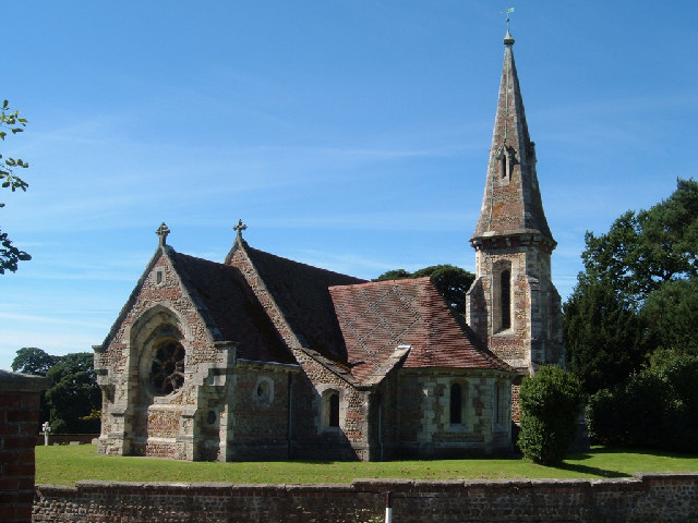
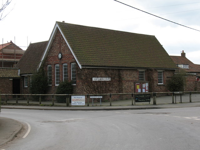
Aldwark Moor Images
Images are sourced within 2km of 54.066646/-1.273062 or Grid Reference SE4763. Thanks to Geograph Open Source API. All images are credited.


Aldwark Moor is located at Grid Ref: SE4763 (Lat: 54.066646, Lng: -1.273062)
Division: North Riding
Administrative County: North Yorkshire
District: Hambleton
Police Authority: North Yorkshire
What 3 Words
///besotted.mere.mammoths. Near Linton upon Ouse, North Yorkshire
Nearby Locations
Related Wikis
Aldwark, Hambleton
Aldwark is a village and civil parish in the Hambleton District of North Yorkshire, England. It is situated on the River Ouse about 14 miles from York...

Youlton
Youlton is a village and civil parish in Hambleton District of North Yorkshire, England. It is situated approximately 5 miles (8 km) south-west of Easingwold...

Flawith
Flawith is a village and civil parish in Hambleton district of North Yorkshire, England. It is situated approximately 4 miles (6.4 km) south-west of Easingwold...

RAF Linton-on-Ouse
Royal Air Force Linton-on-Ouse or more simply RAF Linton-on-Ouse (IATA: HRT, ICAO: EGXU) is a former Royal Air Force station at Linton-on-Ouse in North...
Alne, North Yorkshire
Alne is a village and civil parish in the Hambleton District of North Yorkshire, England, about twelve miles north-west of York and four miles from Easingwold...

No. 1 Flying Training School RAF
The No. 1 Flying Training School (1 FTS) is the oldest military pilot training school in the world, currently used to deliver rotary training to aircrew...

Dishforth
Dishforth is a village and civil parish in the Harrogate district of North Yorkshire, England. Dishforth translates from Old English as dic-ford; a ford...

Tholthorpe
Tholthorpe is a village and civil parish in the Hambleton district of North Yorkshire, England. It is situated approximately 4 miles (6 km) south-west...
Nearby Amenities
Located within 500m of 54.066646,-1.273062Have you been to Aldwark Moor?
Leave your review of Aldwark Moor below (or comments, questions and feedback).