Adbolton

Settlement in Nottinghamshire Rushcliffe

England

Adbolton

Public Bridleway to Colwick Woods from south side of Greenwood Road
Public Bridleway to Colwick Woods from south side of Greenwood Road Credit: Roger Templeman

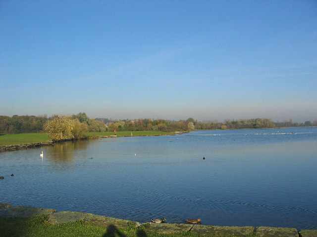
Adbolton is a small village located in the county of Nottinghamshire, England. It is situated on the banks of the River Trent, approximately 5 miles southwest of Nottingham city center. The village is part of the Rushcliffe district and falls within the parish of West Bridgford.

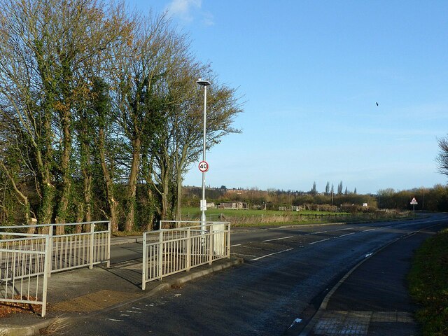
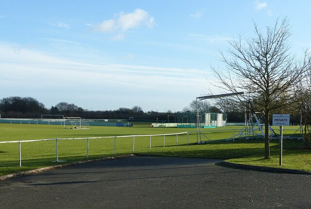
Adbolton is known for its picturesque surroundings and tranquil atmosphere. The village is surrounded by lush green fields and enjoys stunning views of the river. It is a popular spot for nature enthusiasts, offering opportunities for riverside walks and bird-watching.

The village itself is characterized by a mix of traditional and modern architecture. There are a number of historic buildings, including a 12th-century church, St. Peter's, which adds to the village's charm. The church is known for its beautiful stained glass windows and architectural features.

Despite its small size, Adbolton is well-connected to neighboring towns and cities. The village benefits from good road links, with the A52 passing nearby, providing easy access to Nottingham and other surrounding areas. There are also regular bus services connecting Adbolton to Nottingham city center.

Adbolton is a peaceful and idyllic village, offering a quiet retreat from the hustle and bustle of nearby urban areas. Its natural beauty and historical charm make it an attractive destination for both locals and visitors alike.

If you have any feedback on the listing, please let us know in the comments section below.
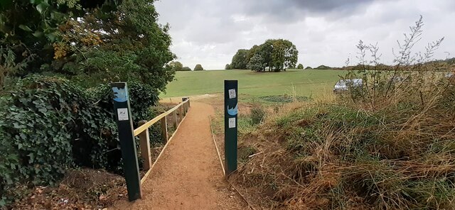
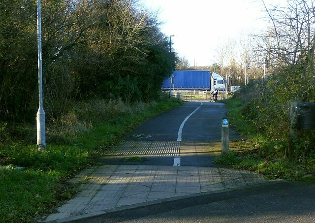
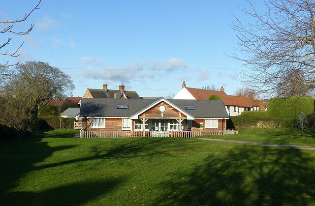
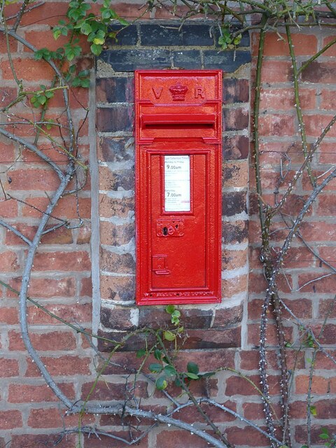
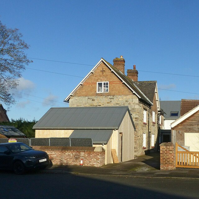
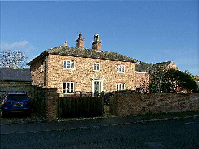
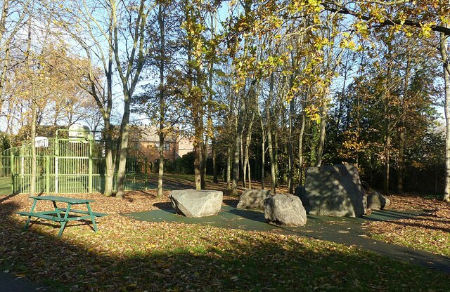
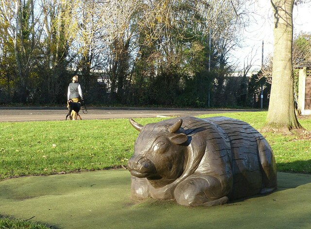
Adbolton Images

Images are sourced within 2km of 52.938421/-1.10604 or Grid Reference SK6038. Thanks to Geograph Open Source API. All images are credited.

Public Bridleway to Colwick Woods from south side of Greenwood Road
Colwick Woods Playground on south side of Greenwood Road
Colwick Woods Park
Colwick Woods Park
Static development site
Daleside Road East
Daleside Road East
Grantham Canal Recreating this 'First' for the square <a title="https://www.geograph.org.uk/photo/51950" href="https://www.geograph.org.uk/photo/51950">Link</a>
Grantham Canal
Recreating this 'First' for the square Link
I 'specs someone is missing these Abandoned spectacles alongside the Grantham Canal at Tollerton Road.
I 'specs someone is missing these
Abandoned spectacles alongside the Grantham Canal at Tollerton Road.
Gamston Cycleway Recreating this 'First' for the square <a title="https://www.geograph.org.uk/photo/51948" href="https://www.geograph.org.uk/photo/51948">Link</a>

This links Gamston and Nottingham with the Grantham Canal towpath. Here it follows the original line of Bassingfield Lane prior to the construction of the Lings Bar section of the A52.
Gamston Cycleway
Recreating this 'First' for the square Link This links Gamston and Nottingham with the Grantham Canal towpath. Here it follows the original line of Bassingfield Lane prior to the construction of the Lings Bar section of the A52.
Old Tollerton Road The heart of the small village of Gamston before the late 20th century housing estate was developed.
Old Tollerton Road
The heart of the small village of Gamston before the late 20th century housing estate was developed.
Telephone kiosk and fingerpost As with many such kiosks, it has been taken over by the parish council, in this instance as an information centre. The fingerpost is a traditional Nottinghamshire County Council style.
Telephone kiosk and fingerpost
As with many such kiosks, it has been taken over by the parish council, in this instance as an information centre. The fingerpost is a traditional Nottinghamshire County Council style.
Gamston Village Hall Timber building set in an attractive green.
Gamston Village Hall
Timber building set in an attractive green.
Gamston Village postbox, ref NG2 38 Standard VR wall box with wider mouth in typical projecting brickwork of the period.
Gamston Village postbox, ref NG2 38
Standard VR wall box with wider mouth in typical projecting brickwork of the period.
Hall Farmhouse, Gamston Brick and stone farmhouse dating from the 18th and 19th centuries, Listed Grade II.
Hall Farmhouse, Gamston
Brick and stone farmhouse dating from the 18th and 19th centuries, Listed Grade II.
Manor Farmhouse, Gamston An attractive early 19th century house, long divorced from any farming activity.
Manor Farmhouse, Gamston
An attractive early 19th century house, long divorced from any farming activity.
Stone circle, Gamston Nothing ancient about this; it forms part of the Ambleside Play Park.
Stone circle, Gamston
Nothing ancient about this; it forms part of the Ambleside Play Park.
Not a Raging Bull Timber sculpture in the Ambleside Play Park, Gamston.
Not a Raging Bull
Timber sculpture in the Ambleside Play Park, Gamston.
Regatta Way, West Bridgford The island provides a crossing point for the cycle route which changes sides at this point.
Regatta Way, West Bridgford
The island provides a crossing point for the cycle route which changes sides at this point.
Regatta Way Sports Club, West Bridgford A sign at the entrance shows that it is home to Gedling & Sherwood Cricket Club, West Bridgford Colts FC and Gedling Colliery Cricket Club and the Gamston Cricket Academy. There are three separate football grounds and two cricket grounds.
Regatta Way Sports Club, West Bridgford
A sign at the entrance shows that it is home to Gedling & Sherwood Cricket Club, West Bridgford Colts FC and Gedling Colliery Cricket Club and the Gamston Cricket Academy. There are three separate football grounds and two cricket grounds.
Show me another place!

Adbolton is located at Grid Ref: SK6038 (Lat: 52.938421, Lng: -1.10604)

Administrative County: Nottinghamshire

District: Rushcliffe

Police Authority: Nottinghamshire

What 3 Words

///quarrel.poker.hits. Near West Bridgford, Nottinghamshire

Nearby Locations

Adbolton

Related Wikis

Adbolton

Adbolton is a village in the English county of Nottinghamshire on the south bank of the River Trent one mile west of Holme Pierrepont.Adbolton was listed...

West Bridgford F.C.

West Bridgford Football Club are a football club based in West Bridgford, Nottinghamshire, England. They are currently members of the United Counties League...

Colwick Hall

Colwick Hall was an English country house in Colwick, Nottinghamshire. It is now a hotel. The building is Grade II* listed. Colwick Hall is constructed...

Lady Bay, Nottinghamshire

Lady Bay is an area of West Bridgford, in Nottinghamshire, England, bounded by the River Trent to the north and the (now disused) Grantham Canal to the...

Nottinghamshire County Rowing Association

Nottinghamshire County Rowing Association abbreviated NCRA is a rowing club based at the Holme Pierrepont National Watersports Centre in Nottingham....

Gamston, Rushcliffe

Gamston is a village, civil parish and suburb of West Bridgford, in the Rushcliffe district of Nottinghamshire, England. The population of the civil parish...

Abbey Park, Nottinghamshire

Abbey Park in West Bridgford is a housing estate that was constructed in the mid–to–late–70s by Costain Homes on land that were previously uncultivated...

Colwick Country Park

Colwick Country Park is a country park in Colwick, Nottingham, England. == History == The estate upon which the park resides dates back to 1362. The current...

Nearby Amenities

Located within 500m of 52.938421,-1.10604
Traffic Calming: table
Lat/Long: 52.9381978/-1.1124904
Gedling and Sherwood CC
Sport: cricket
Lat/Long: 52.9345282/-1.1056095
Crossing
Crossing: unmarked
Crossing Island: no
Kerb: lowered
Tactile Paving: yes
Lat/Long: 52.9344626/-1.106733
Gamston Cricket Academy
Sport: cricket
Lat/Long: 52.9344154/-1.1050004
Wilsons Cricket Club
Created By: Potlatch 0.10f
Sport: cricket
Lat/Long: 52.9348006/-1.1052538
Crossing
Crossing: marked
Crossing Island: no
Tactile Paving: yes
Lat/Long: 52.9385466/-1.1061835
Crossing
Crossing: unmarked
Kerb: lowered
Tactile Paving: no
Lat/Long: 52.9385416/-1.1114566
West Bridgford Pony Club
Sport: equestrian
Lat/Long: 52.9391349/-1.1053987
Crossing
Crossing: uncontrolled
Crossing Ref: zebra
Kerb: no
Lat/Long: 52.9393934/-1.1019633
Bus Stop
Adbolton Lane
Bench: no
Bin: no
Bus: yes
Lit: yes
Local Ref: RU0253
Naptan AtcoCode: 3300RU0253
Naptan Bearing: SW
Naptan CommonName: Adbolton Lane
Naptan Crossing: Moore Close
Naptan Indicator: SW-bound
Naptan NaptanCode: ntsajgjm
Naptan Notes: None (This stop renumbered from 3300WB64) -BW
Naptan PlusbusZoneRef: NTNG
Naptan Street: Adbolton Lane
Naptan Verified: yes
Public Transport: platform
Shelter: no
Source: naptan_import
Tactile Paving: no
Wheelchair: yes
Lat/Long: 52.9383827/-1.1117603
Bus Stop
Skylarks
Bench: yes
Bin: no
Bus: yes
Lit: yes
Local Ref: RU0511
Naptan AtcoCode: 3300RU0511
Naptan Bearing: W
Naptan CommonName: Skylarks
Naptan Crossing: Regatta Way
Naptan Indicator: opp
Naptan Landmark: Skylarks
Naptan NaptanCode: ntsajgad
Naptan PlusbusZoneRef: NTNG
Naptan Street: Adbolton Lane
Naptan Verified: yes
Public Transport: platform
Shelter: yes
Source: naptan_import
Tactile Paving: no
Lat/Long: 52.9384986/-1.1073557
Bus Stop
Turning Circle
Bench: yes
Bin: yes
Bus: yes
Lit: yes
Local Ref: RU0512
Naptan AtcoCode: 3300RU0512
Naptan Bearing: NE
Naptan CommonName: Turning Circle
Naptan Indicator: in
Naptan Landmark: Turning Circle
Naptan NaptanCode: ntsajgag
Naptan Notes: none (This stop renumbered from 3300WB56)
Naptan PlusbusZoneRef: NTNG
Naptan Street: Adbolton Lane
Naptan Verified: yes
Public Transport: platform
Shelter: yes
Source: naptan_import
Tactile Paving: no
Wheelchair: yes
Lat/Long: 52.9386557/-1.1117739
Bus Stop
Regatta Way
Bench: no
Bin: no
Bus: yes
Lit: yes
Naptan AtcoCode: 3300RU0540
Naptan Bearing: NE
Naptan CommonName: Regatta Way
Naptan Crossing: Adbolton Lane
Naptan Indicator: NE-bound
Naptan NaptanCode: ntsajamw
Naptan Notes: none (This stop renumbered from 3300WB57)
Naptan PlusbusZoneRef: NTNG
Naptan Street: Regatta Way
Naptan Verified: yes
Public Transport: platform
Ref: RU0540
Shelter: yes
Source: naptan_import
Tactile Paving: no
Lat/Long: 52.9394134/-1.1042105
Bus Stop
Caravan Park
Bench: no
Bin: no
Bus: yes
Lit: no
Naptan AtcoCode: 3300RU0545
Naptan Bearing: E
Naptan CommonName: Caravan Park
Naptan Indicator: opp
Naptan Landmark: Caravan Park
Naptan NaptanCode: ntsajapm
Naptan Notes: none (This stop renumbered from 3300WB58)
Naptan PlusbusZoneRef: NTNG
Naptan Street: Adbolton Lane
Naptan Verified: no
Public Transport: platform
Shelter: no
Source: naptan_import
Tactile Paving: no
Lat/Long: 52.9403707/-1.1004379
Bus Stop
Caravan Park
Bench: no
Bin: no
Bus: yes
Lit: no
Naptan AtcoCode: 3300RU0546
Naptan Bearing: SW
Naptan CommonName: Caravan Park
Naptan Indicator: adj
Naptan Landmark: Caravan Park
Naptan NaptanCode: ntsajapt
Naptan Notes: none (This stop renumbered from 3300WB62)
Naptan PlusbusZoneRef: NTNG
Naptan Street: Adbolton Lane
Naptan Verified: no
Public Transport: platform
Shelter: no
Source: naptan_import
Tactile Paving: no
Lat/Long: 52.940144/-1.1007656
Bus Stop
Skylarks
Bench: no
Bin: no
Bus: yes
Lit: yes
Local Ref: RU0782
Naptan AtcoCode: 3300RU0782
Naptan Bearing: E
Naptan CommonName: Skylarks
Naptan Crossing: Regatta Way
Naptan Indicator: adj
Naptan Landmark: Skylarks
Naptan NaptanCode: ntsgpdmt
Naptan PlusbusZoneRef: NTNG
Naptan Street: Adbolton Lane
Naptan Verified: yes
Public Transport: platform
Shelter: no
Source: naptan_import
Tactile Paving: no
Lat/Long: 52.9385942/-1.1077188
Bus Stop
Adbolton Lane
Bench: yes
Bin: no
Bus: yes
Lit: yes
Naptan AtcoCode: 3300RU0811
Naptan Bearing: E
Naptan BusStopType: CUS
Naptan CommonName: Adbolton Lane
Naptan Indicator: E-bound
Naptan Landmark: Simkins Farm
Naptan NaptanCode: ntsgpjtg
Naptan Notes: 3300RU0253
Naptan PlusbusZoneRef: NTNG
Naptan Street: Adbolton Lane
Naptan Verified: no
Public Transport: platform
Shelter: no
Source: naptan_import
Tactile Paving: no
Lat/Long: 52.9384763/-1.1117499
Heron
Artwork Type: sculpture
Tourism: artwork
Lat/Long: 52.9385809/-1.1115611
Barrier: lift_gate
Lat/Long: 52.9395399/-1.1020634
Telephone
Booth: KX100
Lat/Long: 52.9379769/-1.1028979
Post Box
Collection Times: Mo-Fr 17:00; Sa 09:30
Post Box Type: lamp
Ref: NG2 371
Royal Cypher: EIIR
Royal Cypher Wikidata: Q33102113
Source: survey
Lat/Long: 52.937994/-1.1028972
Tourism: artwork
Lat/Long: 52.9396777/-1.102092
Bicycle Parking
Access: private
Lat/Long: 52.934154/-1.1061493
Bench
Backrest: yes
Lat/Long: 52.9386083/-1.1062762
Direction: 170
Generator Method: photovoltaic
Generator Output Electricity: yes
Generator Solar Modules: 10
Generator Source: solar
Generator Type: solar_photovoltaic_panel
Location: roof
Power: generator
Lat/Long: 52.9386156/-1.1133816
Generator Method: photovoltaic
Generator Output Electricity: yes
Generator Source: solar
Generator Type: solar_photovoltaic_panel
Location: roof
Power: generator
Lat/Long: 52.9378251/-1.1034346
Barrier: entrance
Lat/Long: 52.9401529/-1.1061236
Barrier: entrance
Lat/Long: 52.9399419/-1.1058905
Material: wood
Power: pole
Lat/Long: 52.9379718/-1.1050326
Material: wood
Power: pole
Lat/Long: 52.9382281/-1.1055543
Give Way
Direction: forward
Lat/Long: 52.9385164/-1.1061049
Give Way
Lat/Long: 52.9384987/-1.1060591
Give Way
Lat/Long: 52.9385536/-1.1062021
Give Way
Lat/Long: 52.9385306/-1.1061409
Crossing
Crossing: unmarked
Crossing Island: no
Kerb: lowered
Tactile Paving: no
Lat/Long: 52.9385373/-1.1072943
Crossing
Crossing: unmarked
Kerb: yes
Tactile Paving: no
Lat/Long: 52.9383454/-1.111922
Crossing: informal
Lat/Long: 52.937979/-1.1131221
Crossing
Crossing: unmarked
Crossing Island: no
Lat/Long: 52.9380738/-1.1134206
Crossing
Crossing: unmarked
Kerb: lowered
Tactile Paving: no
Lat/Long: 52.938449/-1.1119016
Bench
Backrest: yes
Lat/Long: 52.9384992/-1.1117618
Crossing
Crossing: unmarked
Crossing Island: no
Kerb: lowered
Tactile Paving: no
Lat/Long: 52.9384956/-1.1115327
Note: ends
Lat/Long: 52.9384669/-1.1114531
Turning Circle
Lat/Long: 52.9390565/-1.1122879
Waste Basket
Lat/Long: 52.9386138/-1.1062945
Waste Basket
Lat/Long: 52.9384224/-1.1125736
Bench
Backrest: yes
Lat/Long: 52.9384269/-1.1125588
Bench
Backrest: yes
Lat/Long: 52.9383909/-1.1126158
Bench
Backrest: yes
Lat/Long: 52.9382729/-1.1126735
Waste Basket
Lat/Long: 52.9382406/-1.1126393
The data included in this document is from www.openstreetmap.org. The data is made available under ODbL.

Have you been to Adbolton?

Leave your review of Adbolton below (or comments, questions and feedback).