Adber

Settlement in Somerset

England

Adber

Adber Court - Adber A substantial property in the hamlet of Adber, believed to be a newbuild major addition  to what was originally a barn conversion. Yes, that really is a figure of a giant cockerel on the lawn, maybe the owners have some connection to the Courage Brewery!
Adber Court - Adber Credit: Mike Searle

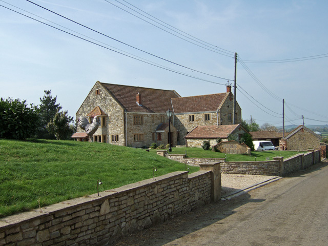
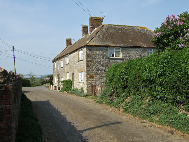
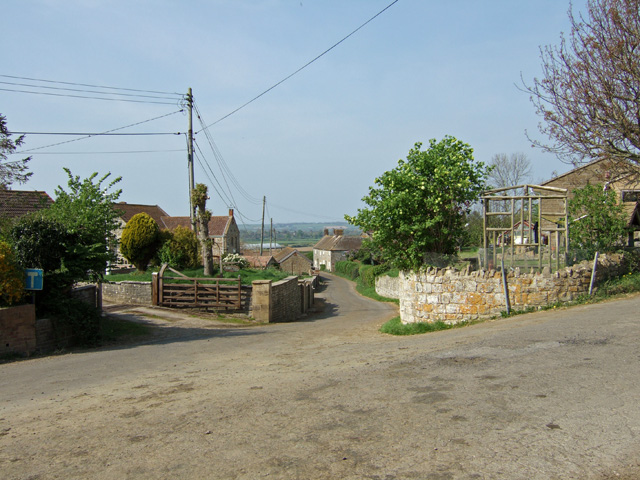
Adber is a small village located in the county of Somerset, England. Situated approximately 3 miles north-west of the town of Yeovil, Adber is nestled in the picturesque countryside of the South West. With a population of around 100 residents, it is a tight-knit community known for its tranquility and natural beauty.

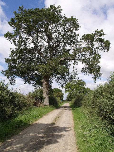
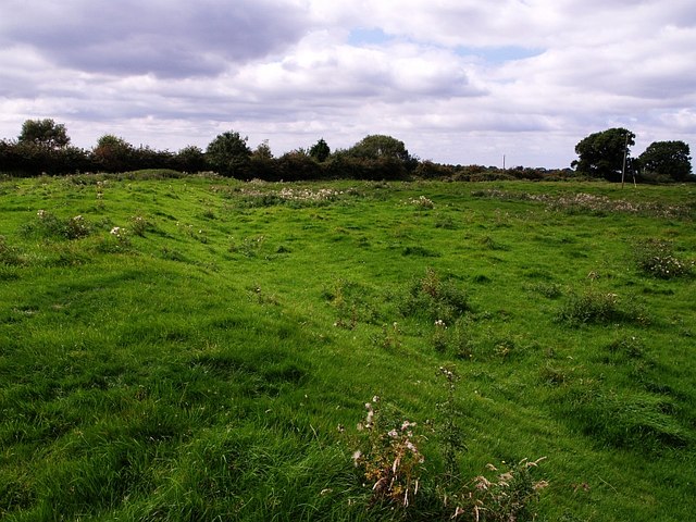
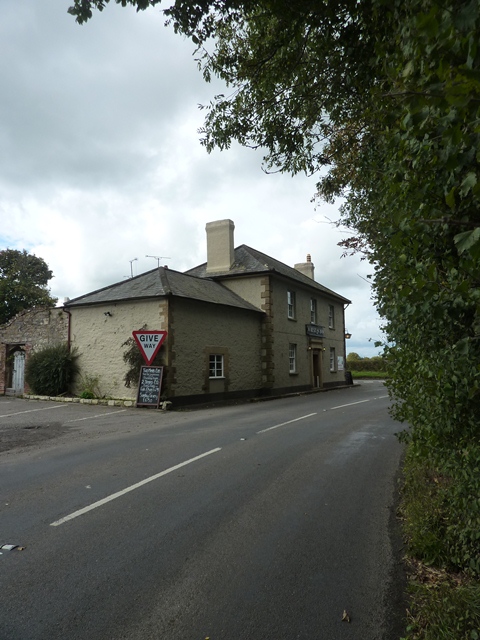
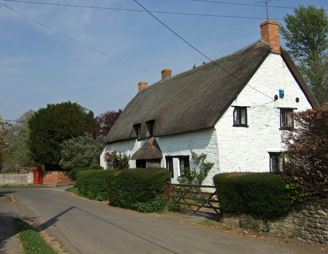
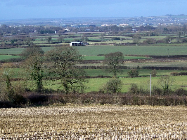
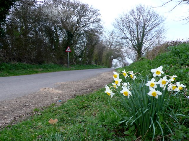
The village is characterized by its charming cottages and traditional stone houses, creating a quintessential English rural setting. The surrounding landscape features rolling hills, meadows, and farmland, offering stunning views and ample opportunities for outdoor activities such as hiking, cycling, and horse riding.

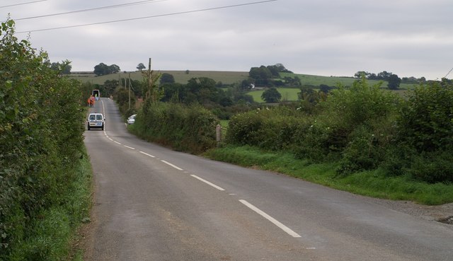
While Adber is primarily a residential area, its proximity to Yeovil ensures easy access to a range of amenities and services. The town provides a wide variety of shops, supermarkets, restaurants, and leisure facilities. In addition, several primary and secondary schools are located nearby, making Adber an attractive location for families.

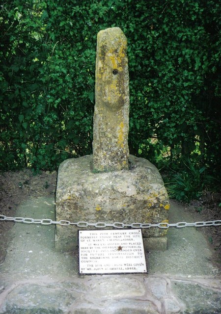
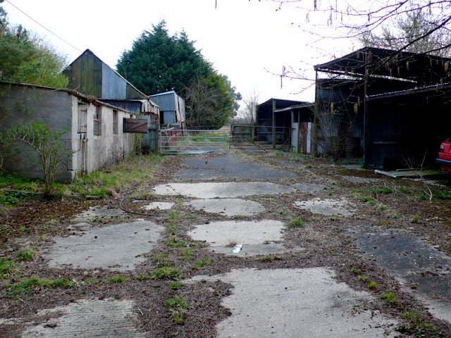
Historically, Adber is believed to have been inhabited since Roman times, with evidence of Roman pottery and artifacts discovered in the area. The village has a rich agricultural heritage, and farming remains an important part of the local economy.

Overall, Adber offers a peaceful and idyllic setting for those seeking a rural lifestyle while still being within reach of urban conveniences. With its charming architecture, stunning surroundings, and strong community spirit, Adber is a hidden gem in the heart of Somerset.

If you have any feedback on the listing, please let us know in the comments section below.
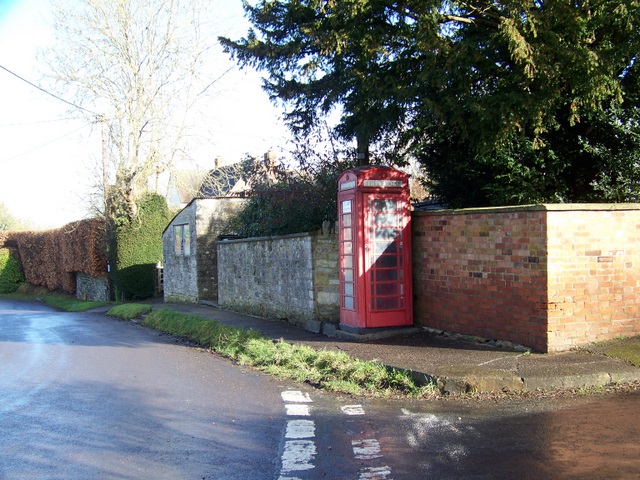
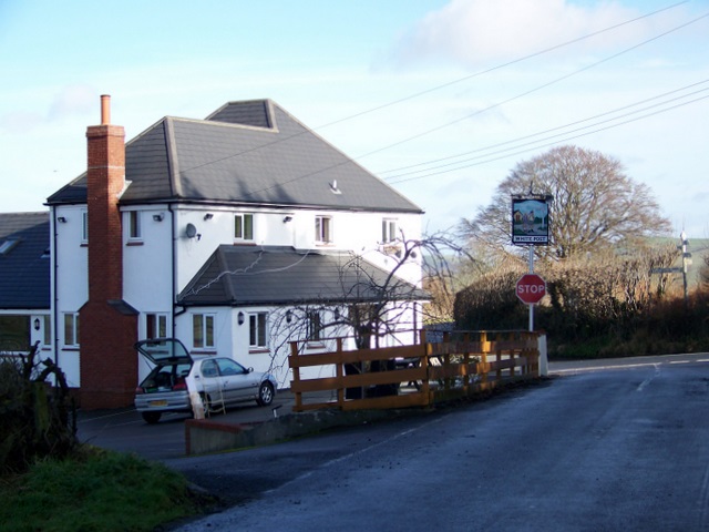
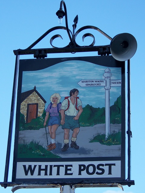
Adber Images

Images are sourced within 2km of 50.97977/-2.5737367 or Grid Reference ST5920. Thanks to Geograph Open Source API. All images are credited.

Adber Court - Adber A substantial property in the hamlet of Adber, believed to be a newbuild major addition  to what was originally a barn conversion. Yes, that really is a figure of a giant cockerel on the lawn, maybe the owners have some connection to the Courage Brewery!
Adber Court - Adber
A substantial property in the hamlet of Adber, believed to be a newbuild major addition to what was originally a barn conversion. Yes, that really is a figure of a giant cockerel on the lawn, maybe the owners have some connection to the Courage Brewery!
The Old Malthouse - Adber
Adber View from the Rimpton road.
Adber
View from the Rimpton road.
Adber: the Adber Stone It once stood in the churchyard of the now-demolished St. Mary's chapel, Adber.
Adber: the Adber Stone
It once stood in the churchyard of the now-demolished St. Mary's chapel, Adber.
Thorny Lane An old track that runs from Hummer to Marston Magna, past the abandoned village of Nether Adber. Here, not far from Hummer Farm, occasional oaks line it.
Thorny Lane
An old track that runs from Hummer to Marston Magna, past the abandoned village of Nether Adber. Here, not far from Hummer Farm, occasional oaks line it.
Deserted medieval village of Nether Adber Contrast has been increased to try to bring out the remains of earthworks in this, the northern field of the two containing most of the site of the village. This field contained the manor.

There is some confusion about the name. Some maps show "Nether Adber", others have "Thorny" as the name of the vanished village. Both existed, but which is this? See <span class="nowrap"><a title="http://webapp1.somerset.gov.uk/her/details.asp?prn=54334" rel="nofollow ugc noopener" href="http://webapp1.somerset.gov.uk/her/details.asp?prn=54334">Link</a><img style="margin-left:2px;" alt="External link" title="External link - shift click to open in new window" src="https://s1.geograph.org.uk/img/external.png" width="10" height="10"/></span> for discussion and description.
Deserted medieval village of Nether Adber
Contrast has been increased to try to bring out the remains of earthworks in this, the northern field of the two containing most of the site of the village. This field contained the manor. There is some confusion about the name. Some maps show "Nether Adber", others have "Thorny" as the name of the vanished village. Both existed, but which is this? See LinkExternal link for discussion and description.
B3148 to Sherborne Traffic is very light on this road between Marston Magna and Sherborne, as notices announce it is closed. There are certainly traffic lights in operation on Park Bridge, some 200 metres ahead, where the road crosses the Yeovil-Castle Cary railway line, but some vehicles still seem to be getting through in both directions. In the distance is Rimpton Hill.
B3148 to Sherborne
Traffic is very light on this road between Marston Magna and Sherborne, as notices announce it is closed. There are certainly traffic lights in operation on Park Bridge, some 200 metres ahead, where the road crosses the Yeovil-Castle Cary railway line, but some vehicles still seem to be getting through in both directions. In the distance is Rimpton Hill.
The Marston Inn, Marston Magna The Marston Inn, Marston Magna looking from the B3148, Rimpton Road, towards the A359.
The Marston Inn, Marston Magna
The Marston Inn, Marston Magna looking from the B3148, Rimpton Road, towards the A359.
Signpost for Hayes Motor Museum On the A359 outside of <a href="https://www.geograph.org.uk/photo/2089566">ST5922 : The Marston Inn, Marston Magna</a>.
Signpost for Hayes Motor Museum
On the A359 outside of ST5922 : The Marston Inn, Marston Magna.
Millennium Commemoration Marker at White Post The inscription reads: 'These stones were erected by the people of this parish to commemorate the dawn of the Third Millennium in the year of our Lord Two Thousand.' Dated the 1st Jan 2000, 08.33 A.M.
Millennium Commemoration Marker at White Post
The inscription reads: 'These stones were erected by the people of this parish to commemorate the dawn of the Third Millennium in the year of our Lord Two Thousand.' Dated the 1st Jan 2000, 08.33 A.M.
The former White Post Inn Although no longer in use, the pub may currently be undergoing a programme of refurbishment. Situated on the B3148 between Sherborne and Marston Magna.
The former White Post Inn
Although no longer in use, the pub may currently be undergoing a programme of refurbishment. Situated on the B3148 between Sherborne and Marston Magna.
Cottage at Rimpton
Cottage at Rimpton
Telephone box, Rimpton A K6 type telephone box beside the road junction that leads to the village church.
Telephone box, Rimpton
A K6 type telephone box beside the road junction that leads to the village church.
The White Post Inn, Adber The family run pub also does B&B.
The White Post Inn, Adber
The family run pub also does B&B.
Sign for the White Post Inn The sign features the finger post that is opposite the pub.
Sign for the White Post Inn
The sign features the finger post that is opposite the pub.
Maize stubble near White Post Inn In the past, maize was grown in Britain mainly as animal fodder, although sweetcorn varieties have been grown on a small scale in the south-east for the table. New varieties which will ripen in our climate have now been introduced.
In Victorian times maize for silage was cut green and fed to cattle in June and July. Today it is left to become as ripe as possible and harvested with a special machine which chops stalk, leaf and head together; it is then stored in silos.
Maize stubble near White Post Inn
In the past, maize was grown in Britain mainly as animal fodder, although sweetcorn varieties have been grown on a small scale in the south-east for the table. New varieties which will ripen in our climate have now been introduced. In Victorian times maize for silage was cut green and fed to cattle in June and July. Today it is left to become as ripe as possible and harvested with a special machine which chops stalk, leaf and head together; it is then stored in silos.
Slade Lane This bunch of daffodils was swaying gently in the breeze next to the steep hill rising from Heavens Door up towards the Sandford Orcas road.
Slade Lane
This bunch of daffodils was swaying gently in the breeze next to the steep hill rising from Heavens Door up towards the Sandford Orcas road.
Disused Farm Yard This yard next to Glenholme Nurseries has not been used as a farmyard for years.It is just off Great Pit Lane which runs between Sandford Orcas and Rowbarrow.
Disused Farm Yard
This yard next to Glenholme Nurseries has not been used as a farmyard for years.It is just off Great Pit Lane which runs between Sandford Orcas and Rowbarrow.
Show me another place!

Adber is located at Grid Ref: ST5920 (Lat: 50.97977, Lng: -2.5737367)

Unitary Authority: Dorset

Police Authority: Dorset

What 3 Words

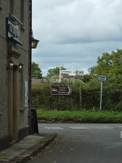
///senders.scorched.position. Near Sherborne, Dorset

Nearby Locations

Adber

Related Wikis

Adber

Adber (formerly Eatan) is a hamlet in Dorset, England. It is known as Ateberie in the Domesday Book.Adber has no church. Its position affords fine views...

Trent, Dorset

Trent is a village and civil parish in northwest Dorset, England, situated in the Yeo valley 4 miles (6.4 km) northwest of Sherborne and four miles northeast...

Rimpton

Rimpton is a village and civil parish 5 miles (8 km) north-west of Sherborne, and 6 miles (10 km) north-east of Yeovil on a tributary of the River Parret...

Church of St Mary, Rimpton

The Church of St Mary in Rimpton, Somerset, England was built in the early 13th century and has been designated as a Grade I listed building.The exact...

St Mary's Church, Marston Magna

The Church of St Mary in Marston Magna, Somerset, England can date its origins to before the Norman Conquest, however the present building largely dates...

Marston Magna railway station

Marston Magna railway station served the village of Marston Magna, Somerset, England from 1856 to 1966 on Heart of Wessex Line. == History == The station...

Marston Magna

Marston Magna (also known as Broad or Great Marston) is a village and civil parish in Somerset, England, situated 5 miles (8.0 km) north of Yeovil in the...

St Mary's Church, Mudford

The Church of St Mary in Mudford, Somerset, England, dates from the 14th century and has been designated as a Grade I listed building.The church was granted...

Nearby Amenities

Located within 500m of 50.97977,-2.5737367
Adber
Is In: Dorset
Place: hamlet
Wikidata: Q4680943
Wikipedia: en:Adber
Lat/Long: 50.9804782/-2.5744008
The data included in this document is from www.openstreetmap.org. The data is made available under ODbL.

Have you been to Adber?

Leave your review of Adber below (or comments, questions and feedback).