Adderley
Settlement in Shropshire
England
Adderley

Adderley is a small village located in the county of Shropshire, England. Situated approximately five miles south-east of Market Drayton, this rural community is known for its picturesque countryside and charming village atmosphere.
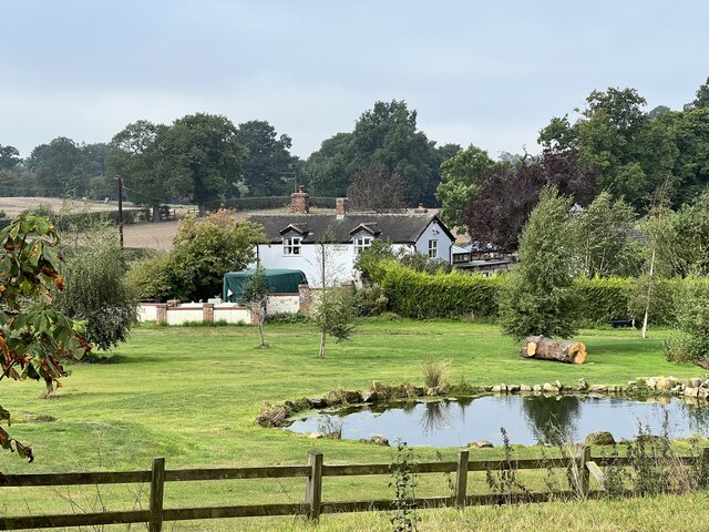
The village of Adderley is nestled in a valley, surrounded by rolling hills and lush green fields. It is home to a population of around 500 residents, making it a close-knit and friendly community. The village is predominantly residential, with a mix of traditional stone-built cottages and more modern houses.
One of the notable landmarks in Adderley is St. Peter's Church, a beautiful Grade I listed building dating back to the 12th century. This historic church features stunning architecture and attracts visitors who appreciate its cultural and historical significance.
The village also boasts a village hall, which serves as a hub for community events and gatherings. Additionally, there is a primary school in Adderley, providing education for children in the local area.
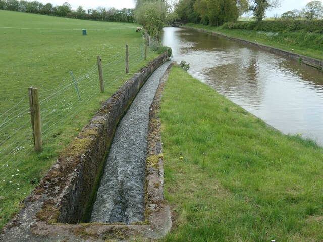
The surrounding countryside offers ample opportunities for outdoor activities, such as walking, cycling, and horse riding. The nearby Shropshire Union Canal also provides a picturesque setting for leisurely walks and boat trips.
Although Adderley is a peaceful and idyllic village, it is within easy reach of larger towns such as Market Drayton and Whitchurch. These towns offer a wider range of amenities, including shops, supermarkets, and leisure facilities.
Overall, Adderley is a charming rural village that offers a tranquil lifestyle and a strong sense of community. With its picturesque surroundings and historic landmarks, it is a place that appeals to those seeking a peaceful retreat in the heart of the Shropshire countryside.
If you have any feedback on the listing, please let us know in the comments section below.
Adderley Images
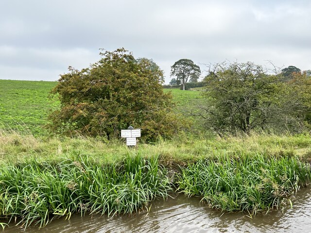
Images are sourced within 2km of 52.954308/-2.503722 or Grid Reference SJ6639. Thanks to Geograph Open Source API. All images are credited.


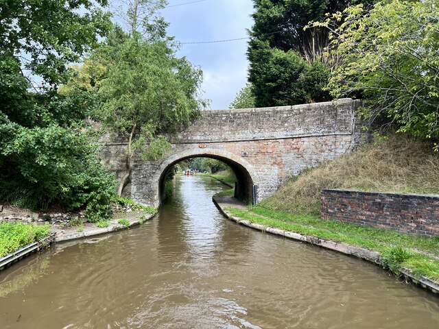
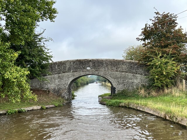
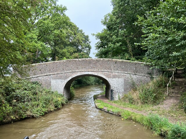
![Looking south to Betton Coppice bridge [no 67] The Shropshire Union canal's towpath switches sides at this bridge, as does the civil parish boundary that follows the towpath.](https://s0.geograph.org.uk/geophotos/07/51/66/7516672_2367bdaa.jpg)


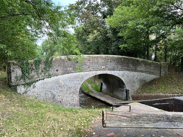
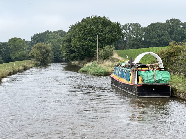
![The pound between locks 2 & 3, Adderley flight Seen from Wems Bridge [no 70]. Hundreds of gritty tow ropes have worn grooves in the bridge's iron fender.](https://s3.geograph.org.uk/geophotos/07/51/67/7516771_a299730f.jpg)
Adderley is located at Grid Ref: SJ6639 (Lat: 52.954308, Lng: -2.503722)
Unitary Authority: Shropshire
Police Authority: West Mercia
What 3 Words
///materials.fancy.sliders. Near Audlem, Cheshire
Nearby Locations
Related Wikis

Adderley
Adderley is a village and civil parish in the English county of Shropshire, several kilometres north of Market Drayton. It is known as Eldredelei in the...

St Peter's Church, Adderley
St Peter's Church is an Anglican church in the village of Adderley, Shropshire, England. It is recorded in the National Heritage List for England as a...

Adderley railway station
Adderley railway station was a station serving the village of Adderley in the English county of Shropshire. == History == The station was built by the...

Highfields, Buerton
Highfields is a small country house in the civil parish of Buerton, Cheshire, England. It is recorded in the National Heritage List for England as a designated...
Coxbank Halt railway station
Coxbank Halt railway station was located in Audlem, Cheshire, England. The station was opened by the Great Western Railway, the station closed on 9 September...

Ridgwardine
Ridgwardine is a small hamlet in Shropshire in the civil parish of Norton in Hales. It is made up of Ridgwardine Manor, Upper Farm, and Manor Farm. �...

Audlem railway station
Audlem railway station was a station on the former Great Western Railway between Market Drayton and Nantwich, opened in 1863. It served the village of...
Norton-in-Hales railway station
Norton-in-Hales railway station was a station on the North Staffordshire Railway between Stoke-on-Trent and Market Drayton. The station was opened in 1870...
Nearby Amenities
Located within 500m of 52.954308,-2.503722Have you been to Adderley?
Leave your review of Adderley below (or comments, questions and feedback).