Pemberton

Settlement in Carmarthenshire

Wales

Pemberton

Millennium Wetlands & Trostre Works The newly-created waterfowl sanctuary contrasts with South Wales' traditional industry.
Millennium Wetlands & Trostre Works Credit: Stephen McKay

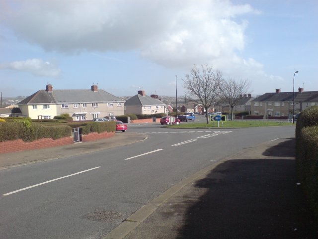
Pemberton is a small village located in the county of Carmarthenshire, Wales. Situated in the western part of the country, it lies within the beautiful countryside, surrounded by rolling hills and green fields. The village is nestled between the towns of Llanelli and Kidwelly, providing its residents with easy access to amenities and services.

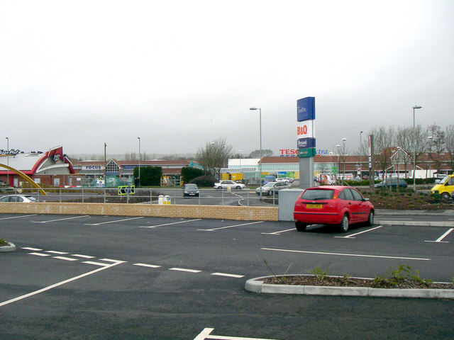
Pemberton is a close-knit community with a population of around 1,500 people. The village offers a range of facilities, including a primary school, a post office, and a few local shops. There is also a community center that serves as a hub for various activities and events.

The village boasts a rich history, with evidence of human settlement dating back to the Bronze Age. It is believed that the name "Pemberton" derives from the Welsh words "pen" and "berth," meaning "head" and "hill" respectively, describing its geographical location.

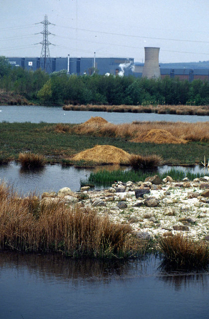
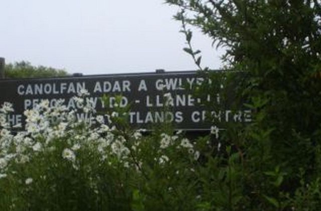
Nature lovers will find plenty to explore in and around Pemberton. The nearby Pembrey Country Park offers an array of outdoor activities, including walking trails, cycling routes, and a beautiful sandy beach. The park also hosts various events throughout the year, attracting visitors from near and far.

Pemberton is well-connected to the surrounding areas by road, with easy access to the A484 and A4138. The village's location provides residents with a peaceful rural lifestyle while still being within reach of larger towns and cities.

If you have any feedback on the listing, please let us know in the comments section below.
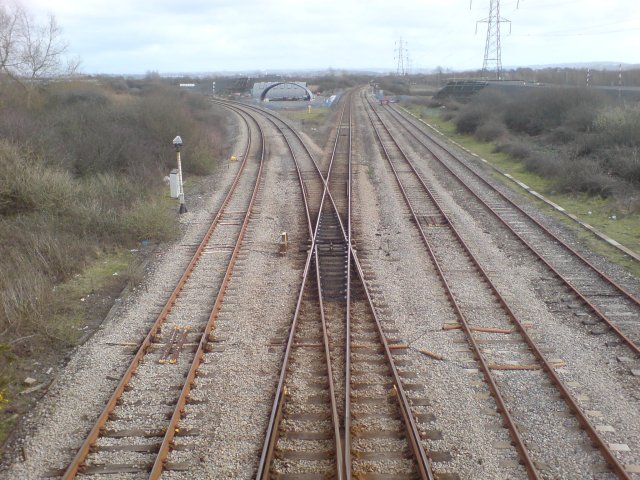
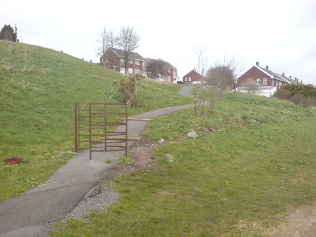
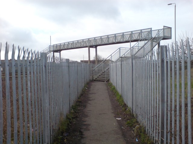
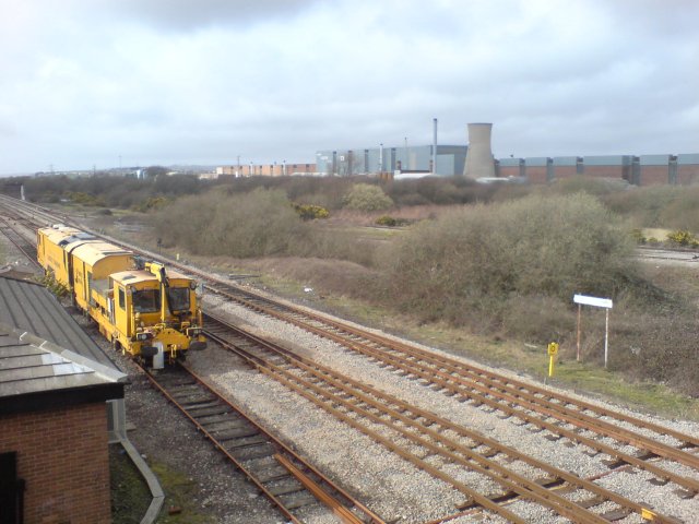
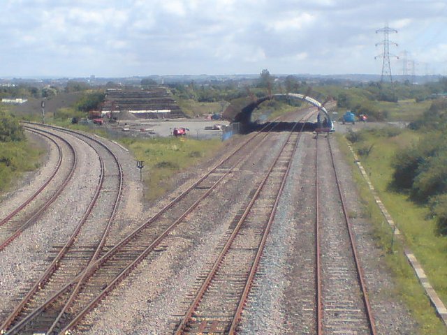
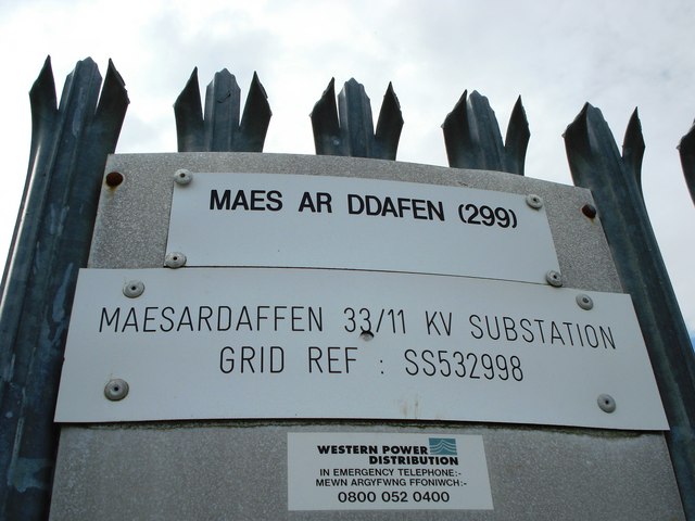
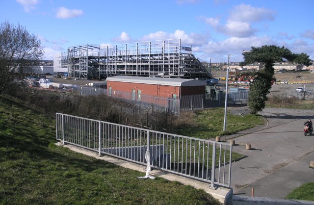
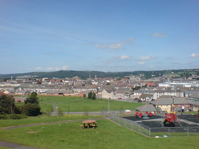
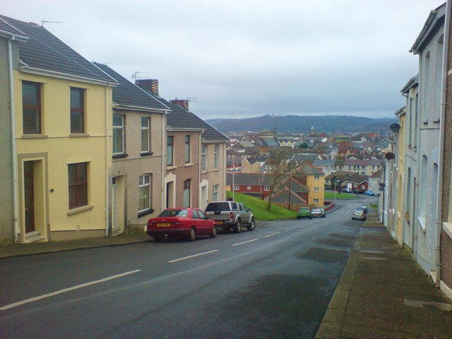
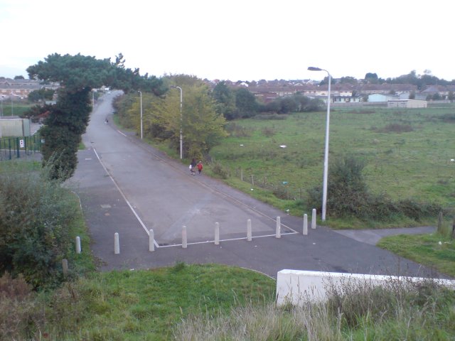
Pemberton Images

Images are sourced within 2km of 51.682086/-4.129929 or Grid Reference SN5200. Thanks to Geograph Open Source API. All images are credited.

Millennium Wetlands & Trostre Works The newly-created waterfowl sanctuary contrasts with South Wales' traditional industry.
Millennium Wetlands & Trostre Works
The newly-created waterfowl sanctuary contrasts with South Wales' traditional industry.
The National Wetlands Centre Wales Located on the Ramsar site of the Burry Inlet, WWT's innovative centre at Llanelli is at the frontend of wetland conservation in Wales. Its newest feature is the Millennium Wetland complex, home to wildlife as diverse as dragonfly and Little Egret.
The National Wetlands Centre Wales
Located on the Ramsar site of the Burry Inlet, WWT's innovative centre at Llanelli is at the frontend of wetland conservation in Wales. Its newest feature is the Millennium Wetland complex, home to wildlife as diverse as dragonfly and Little Egret.
New development Llanelli It's always nice to see new developments with character. 
This one is in Llanelli.
New development Llanelli
It's always nice to see new developments with character. This one is in Llanelli.
National Wetlands Centre Known as Penclacwydd
National Wetlands Centre
Known as Penclacwydd
Pen-Y-Fan, Llanelli The area of Pen-Y-Fan used to be a large estate of council houses, however most of the houses are today owned by their occupiers.
Pen-Y-Fan, Llanelli
The area of Pen-Y-Fan used to be a large estate of council houses, however most of the houses are today owned by their occupiers.
Llandilo Junction This is the junction where the Heart of Wales line departs from the West Wales Line.  It's obvious from the rust on the left line that this railway is predominantly run as a single track line.  Some goods traffic also travels along this line, branching off just south of Pontardulais.

In the distance, just after the junction, some strange arches have recently been constructed.  This turned out to be a prefabricated tunnel, which presumably was lifted over the line when it wasn't being used! <a href="https://www.geograph.org.uk/photo/498158">SS5398 : New tunnel at Llandilo Junction</a>

The spelling of the junction's name is probably a throwback from when welsh spellings were approximated to English; it should probably be Llandeilo junction, but Llandilo is the spelling in not only ancient and modern maps but also in railway documentation.
Llandilo Junction
This is the junction where the Heart of Wales line departs from the West Wales Line. It's obvious from the rust on the left line that this railway is predominantly run as a single track line. Some goods traffic also travels along this line, branching off just south of Pontardulais. In the distance, just after the junction, some strange arches have recently been constructed. This turned out to be a prefabricated tunnel, which presumably was lifted over the line when it wasn't being used! SS5398 : New tunnel at Llandilo Junction The spelling of the junction's name is probably a throwback from when welsh spellings were approximated to English; it should probably be Llandeilo junction, but Llandilo is the spelling in not only ancient and modern maps but also in railway documentation.
Pointless kissing gate There were three identical kissing kates is sequence along the main path here.  today, they seem utterly pointless, but there was some evidence of some form of boundary there at one time.

Years ago, I'm told that this area was known as Rocky Path - but these days the path is paved and a recognised cycle route.
Pointless kissing gate
There were three identical kissing kates is sequence along the main path here. today, they seem utterly pointless, but there was some evidence of some form of boundary there at one time. Years ago, I'm told that this area was known as Rocky Path - but these days the path is paved and a recognised cycle route.
Footbridge over the West Wales railway line With a children's park and several public footpaths converging nearby, you get the impression they REALLY don't want people trespassing on the railway line around here.
Footbridge over the West Wales railway line
With a children's park and several public footpaths converging nearby, you get the impression they REALLY don't want people trespassing on the railway line around here.
Ballast spreader at Llandilo Junction A ballast spreader parked at Llandilo Junction.  In the distance, Trostre steel works can be observed.
Ballast spreader at Llandilo Junction
A ballast spreader parked at Llandilo Junction. In the distance, Trostre steel works can be observed.
New tunnel at Llandilo Junction Construction of a prefabricated bridge/tunnel for a new road bypass.  A ramp can now be seen on both sides of the arches where the road will eventually traverse the railway. This is Llandilo junction (misspelling is intentional as that's its name), the actual start of the Heart of Wales line.
New tunnel at Llandilo Junction
Construction of a prefabricated bridge/tunnel for a new road bypass. A ramp can now be seen on both sides of the arches where the road will eventually traverse the railway. This is Llandilo junction (misspelling is intentional as that's its name), the actual start of the Heart of Wales line.
Maes ar Ddafen sub station
New stadium, under construction Currently being built, this is the construction site for the new rugby stadium in the Trostre area of Llanelli. Soon to be the new home for the Llanelli Scarlets.
New stadium, under construction
Currently being built, this is the construction site for the new rugby stadium in the Trostre area of Llanelli. Soon to be the new home for the Llanelli Scarlets.
Park near Bigyn School Superb views over Llanelli. My mother was a pupil at the old Victorian Bigyn school in the late 40's early 50's and remembers the landscape below being very different. Everywhere you looked there were industrial chimney stacks to remind you of what an industrial town looked like. Times change.
Park near Bigyn School
Superb views over Llanelli. My mother was a pupil at the old Victorian Bigyn school in the late 40's early 50's and remembers the landscape below being very different. Everywhere you looked there were industrial chimney stacks to remind you of what an industrial town looked like. Times change.
Parc y Scarlets This is the brand new stadium, Parc Y Scarlets, the new home for The Scarlets rugby team and  Llanelli's Rugby Football Team.  Taken only 4 days before the first match is to be played there against Cardiff RFC.

Unlike most modern new stadiums, the management resisted corporate sponsorship in naming the stadium, electing to name the stadium after Llanelli RFC's nickname.

The Scarlets and Llanelli Rugby Football Club are now 2 distinct teams, though they both bear the same historic root.
Parc y Scarlets
This is the brand new stadium, Parc Y Scarlets, the new home for The Scarlets rugby team and Llanelli's Rugby Football Team. Taken only 4 days before the first match is to be played there against Cardiff RFC. Unlike most modern new stadiums, the management resisted corporate sponsorship in naming the stadium, electing to name the stadium after Llanelli RFC's nickname. The Scarlets and Llanelli Rugby Football Club are now 2 distinct teams, though they both bear the same historic root.
Down Prendergast Street Running parallel with Bigyn Hill. Numbers 8 to 14 visible on the left. Stradey Woods visible in the far distance.
The name Prendergast is Flemish in origin and is believed to come from the 'lost' Norman/Flemish village of Brontegeest. It came to Britain with a follower of Duke William after the conquest who was given lands near Haverfordwest.
Down Prendergast Street
Running parallel with Bigyn Hill. Numbers 8 to 14 visible on the left. Stradey Woods visible in the far distance. The name Prendergast is Flemish in origin and is believed to come from the 'lost' Norman/Flemish village of Brontegeest. It came to Britain with a follower of Duke William after the conquest who was given lands near Haverfordwest.
New development at Parc Trostre M+S - one of many big names that have followed the national trend of vacating the town centres without a backward glance. Parc Trostre is the new Llanelli. Luckily the 'old' Llanelli seems to be holding strong, but has definitely acquired a slightly different feel since the exodus took hold.
New development at Parc Trostre
M+S - one of many big names that have followed the national trend of vacating the town centres without a backward glance. Parc Trostre is the new Llanelli. Luckily the 'old' Llanelli seems to be holding strong, but has definitely acquired a slightly different feel since the exodus took hold.
Heron's Wing Hide The approach to Heron's Wing Hide. One of a number of bird watching hides at the National Wetlands Centre Wales.
Heron's Wing Hide
The approach to Heron's Wing Hide. One of a number of bird watching hides at the National Wetlands Centre Wales.
Old works access road This road, now a dead end used to be the main access road to the nearby Corus (then British Steel) works.  Road access is now provided from a nearby roundabout where the new road joins this one just south of the recent bypass road that interrupted the original route.  A foot bridge under the bypass still provides pedestrian access to the factory via this route.
Old works access road
This road, now a dead end used to be the main access road to the nearby Corus (then British Steel) works. Road access is now provided from a nearby roundabout where the new road joins this one just south of the recent bypass road that interrupted the original route. A foot bridge under the bypass still provides pedestrian access to the factory via this route.
Show me another place!

Pemberton is located at Grid Ref: SN5200 (Lat: 51.682086, Lng: -4.129929)

Unitary Authority: Carmarthenshire

Police Authority: Dyfed Powys

What 3 Words

///reap.piper.warm. Near Llanelli, Carmarthenshire

Related Wikis

Llanelli Rural

Llanelli Rural (Welsh: Llanelli Gwledig) is a community in the southeast of Carmarthenshire, Wales. == Description == Despite its name, Llanelli Rural...

Pemberton, Carmarthenshire

Pemberton is an area situated east of Llanelli in Carmarthenshire, Wales. It is part of the Llanelli Rural (Welsh-Llanelli Wledig) community bordering...

Parc y Scarlets

Parc y Scarlets (Welsh pronunciation: [ˈpark ə ˈskarlɛts], meaning: Scarlets Park) is a rugby union stadium in Llanelli, Carmarthenshire, that opened in...

Penceilogi

Penceilogi is a small village on the northern outskirts of Llanelli, Carmarthenshire, Wales. It is bordered by Bryn to the east, Dafen to the north-west...

Nearby Amenities

Located within 500m of 51.682086,-4.129929
Fuel
Texaco
Brand: Texaco
Brand Wikidata: Q775060
Name Cy: Texaco
Operator: Texaco
Lat/Long: 51.6786449/-4.133659
Traffic Signals
Lat/Long: 51.6816076/-4.1336734
Mini Roundabout
Direction: clockwise
Lat/Long: 51.6799007/-4.1326077
Traffic Signals
Lat/Long: 51.6816223/-4.1338737
Traffic Signals
Lat/Long: 51.6835331/-4.1294495
Traffic Signals
Lat/Long: 51.6832981/-4.1298126
Source: OS_OpenData_StreetView
Lat/Long: 51.6783415/-4.1283611
Power: tower
Lat/Long: 51.6835885/-4.1311307
Location Transition: yes
Power: tower
Lat/Long: 51.6820555/-4.1322088
Power: tower
Lat/Long: 51.6855484/-4.1295626
Bus Stop
Morrisons
Bus: yes
Naptan AtcoCode: 5220WDB47647
Naptan NaptanCode: crmpwma
Public Transport: platform
Wheelchair: yes
Lat/Long: 51.680933/-4.1313092
Mini Roundabout
Direction: clockwise
Lat/Long: 51.6806051/-4.1282095
Bus: yes
Public Transport: stop_position
Lat/Long: 51.6828702/-4.1348935
Barrier: lift_gate
Lat/Long: 51.6801425/-4.1284983
Bus Stop
Morrisons
Bus: yes
Naptan AtcoCode: 5220WDB47646
Naptan NaptanCode: crmpwjw
Public Transport: platform
Wheelchair: yes
Lat/Long: 51.6808187/-4.1315364
Bus Stop
Halfway Hotel
Bus: yes
Naptan AtcoCode: 5220AWG60438
Naptan NaptanCode: crmdtjm
Public Transport: platform
Lat/Long: 51.682962/-4.1353017
Bus Stop
Halfway Hotel
Bus: yes
Naptan AtcoCode: 5220AWG60439
Naptan NaptanCode: crmdtjp
Public Transport: platform
Lat/Long: 51.682903/-4.1348606
Traffic Calming: hump
Lat/Long: 51.6830998/-4.135486
Power: pole
Lat/Long: 51.6824546/-4.125621
Traffic Signals
Lat/Long: 51.6832481/-4.1294157
Power: pole
Lat/Long: 51.6825194/-4.1260622
Bus Stop
White Lion
Bus: yes
Naptan AtcoCode: 5220AWG60434
Naptan NaptanCode: crmjamp
Public Transport: platform
Lat/Long: 51.6823705/-4.1256266
Bus Stop
White Lion
Bus: yes
Naptan AtcoCode: 5220AWG60435
Naptan NaptanCode: crmjamt
Public Transport: platform
Lat/Long: 51.6823423/-4.1249386
Power: pole
Lat/Long: 51.6823805/-4.1251412
Traffic Signals
Lat/Long: 51.6826267/-4.1338452
Traffic Signals
Lat/Long: 51.6828811/-4.1333299
Traffic Signals
Lat/Long: 51.6826351/-4.1332554
Traffic Signals
Lat/Long: 51.6824003/-4.1336768
Noexit: yes
Lat/Long: 51.680932/-4.1368219
Atm
Drive Through: no
Lat/Long: 51.6805704/-4.1328039
Toilets
Lat/Long: 51.6785439/-4.1337709
Atm
Lat/Long: 51.6785605/-4.1337494
Post Box
Note: Royal Mail 2013 dataset has 425 Brynsierfel and 426 Heol Elfed with transposed locations
Post Box Type: wall
Lat/Long: 51.6840891/-4.1240972
Recycling
Lat/Long: 51.6796838/-4.1328082
Crossing
Lat/Long: 51.6806628/-4.1322735
Crossing
Lat/Long: 51.6804633/-4.1326348
Crossing
Lat/Long: 51.6799266/-4.1329003
Barrier: bollard
Lat/Long: 51.6790046/-4.1249027
Traffic Signals
Button Operated: yes
Crossing: traffic_signals
Lat/Long: 51.6789649/-4.1328707
Traffic Signals
Button Operated: yes
Crossing: traffic_signals
Lat/Long: 51.6789845/-4.1332987
Bus Stop
Bus: yes
Naptan AtcoCode: 5220CMX16888
Naptan NaptanCode: crmgwtw
Public Transport: platform
Lat/Long: 51.6840219/-4.1239155
Traffic Signals
Lat/Long: 51.6850023/-4.1245786
Bus Stop
The Smiths Arms
Bus: yes
Naptan AtcoCode: 5220CMX16727
Naptan NaptanCode: crmjdaw
Public Transport: platform
Lat/Long: 51.685008/-4.1249321
Bus Stop
The Smiths Arms
Bus: yes
Public Transport: platform
Lat/Long: 51.6848317/-4.1242106
Bus Stop
The Smiths Arms
Bus: yes
Public Transport: platform
Lat/Long: 51.6848417/-4.1243393
Bus Stop
Bus: yes
Naptan AtcoCode: 5220AWG60456
Naptan NaptanCode: crmjadp
Public Transport: platform
Lat/Long: 51.6839487/-4.1241408
Crossing
Crossing: unmanned
Lat/Long: 51.6785365/-4.1340486
Bench
Lat/Long: 51.6820408/-4.1341303
Bicycle: dismount
Lat/Long: 51.6830478/-4.1335695
Post Box
Collection Times: Mo-Fr 09:00; Sa 07:00
Old Ref: SA14 165
Post Box Type: lamp
Ref: SA14 165D
Royal Cypher: EIIR
Royal Cypher Wikidata: Q33102113
Lat/Long: 51.6837395/-4.1290768
Pemberton
Place: suburb
Wikidata: Q7161871
Wikipedia: cy:Pemberton
Lat/Long: 51.682002/-4.1282304
Halfway
Place: suburb
Lat/Long: 51.6843771/-4.1340593
Direction: 285
Generator Method: photovoltaic
Generator Output Electricity: yes
Generator Solar Modules: 2
Generator Source: solar
Generator Type: solar_photovoltaic_panel
Location: roof
Power: generator
Lat/Long: 51.6826986/-4.1276193
Direction: WSW
Generator Method: photovoltaic
Generator Output Electricity: yes
Generator Solar Modules: 12
Generator Source: solar
Generator Type: solar_photovoltaic_panel
Location: roof
Power: generator
Lat/Long: 51.6841552/-4.1291984
Direction: SSE
Generator Method: photovoltaic
Generator Output Electricity: yes
Generator Solar Modules: 14
Generator Source: solar
Generator Type: solar_photovoltaic_panel
Location: roof
Power: generator
Lat/Long: 51.683474/-4.1268542
Direction: 215
Generator Method: photovoltaic
Generator Output Electricity: yes
Generator Solar Modules: 18
Generator Source: solar
Generator Type: solar_photovoltaic_panel
Location: roof
Power: generator
Lat/Long: 51.6843853/-4.1248143
Direction: 165
Generator Method: photovoltaic
Generator Output Electricity: yes
Generator Solar Modules: 15
Generator Source: solar
Generator Type: solar_photovoltaic_panel
Location: roof
Power: generator
Lat/Long: 51.6846202/-4.1253146
Direction: SSE
Generator Method: photovoltaic
Generator Output Electricity: yes
Generator Solar Modules: 10
Generator Source: solar
Generator Type: solar_photovoltaic_panel
Location: roof
Power: generator
Lat/Long: 51.6838988/-4.1259214
Direction: SSE
Generator Method: photovoltaic
Generator Output Electricity: yes
Generator Solar Modules: 8
Generator Source: solar
Generator Type: solar_photovoltaic_panel
Location: roof
Power: generator
Lat/Long: 51.6836353/-4.1294123
Direction: S
Generator Method: photovoltaic
Generator Output Electricity: yes
Generator Solar Modules: 10
Generator Source: solar
Generator Type: solar_photovoltaic_panel
Location: roof
Power: generator
Lat/Long: 51.683163/-4.1295934
Direction: 105
Generator Method: photovoltaic
Generator Output Electricity: yes
Generator Solar Modules: 2
Generator Source: solar
Generator Type: solar_photovoltaic_panel
Location: roof
Power: generator
Lat/Long: 51.6826944/-4.1275911
Direction: 195
Generator Method: photovoltaic
Generator Output Electricity: yes
Generator Solar Modules: 5
Generator Source: solar
Generator Type: solar_photovoltaic_panel
Location: roof
Power: generator
Lat/Long: 51.6826899/-4.1273262
Direction: 105
Generator Method: photovoltaic
Generator Output Electricity: yes
Generator Solar Modules: 7
Generator Source: solar
Generator Type: solar_photovoltaic_panel
Location: roof
Power: generator
Lat/Long: 51.682645/-4.1273765
Direction: 195
Generator Method: photovoltaic
Generator Output Electricity: yes
Generator Solar Modules: 12
Generator Source: solar
Generator Type: solar_photovoltaic_panel
Location: roof
Power: generator
Lat/Long: 51.6827356/-4.127579
Direction: ESE
Generator Method: photovoltaic
Generator Output Electricity: yes
Generator Solar Modules: 4
Generator Source: solar
Generator Type: solar_photovoltaic_panel
Location: roof
Power: generator
Lat/Long: 51.6824799/-4.1266711
Direction: SSW
Generator Method: photovoltaic
Generator Output Electricity: yes
Generator Solar Modules: 10
Generator Source: solar
Generator Type: solar_photovoltaic_panel
Location: roof
Power: generator
Lat/Long: 51.6825302/-4.1266537
Direction: ESE
Generator Method: photovoltaic
Generator Output Electricity: yes
Generator Solar Modules: 4
Generator Source: solar
Generator Type: solar_photovoltaic_panel
Location: roof
Power: generator
Lat/Long: 51.6827202/-4.1241176
Direction: SSW
Generator Method: photovoltaic
Generator Output Electricity: yes
Generator Solar Modules: 6
Generator Source: solar
Generator Type: solar_photovoltaic_panel
Location: roof
Power: generator
Lat/Long: 51.6827119/-4.124174
Direction: SSW
Generator Method: photovoltaic
Generator Output Electricity: yes
Generator Solar Modules: 14
Generator Source: solar
Generator Type: solar_photovoltaic_panel
Location: roof
Power: generator
Lat/Long: 51.6823984/-4.1246581
Direction: SSW
Generator Method: photovoltaic
Generator Output Electricity: yes
Generator Solar Modules: 6
Generator Source: solar
Generator Type: solar_photovoltaic_panel
Location: roof
Power: generator
Lat/Long: 51.6824514/-4.1231695
Direction: ESE
Generator Method: photovoltaic
Generator Output Electricity: yes
Generator Solar Modules: 4
Generator Source: solar
Generator Type: solar_photovoltaic_panel
Location: roof
Power: generator
Lat/Long: 51.6824337/-4.1232225
Direction: WNW
Generator Method: photovoltaic
Generator Output Electricity: yes
Generator Solar Modules: 4
Generator Source: solar
Generator Type: solar_photovoltaic_panel
Location: roof
Power: generator
Lat/Long: 51.6824468/-4.123261
Direction: SSW
Generator Method: photovoltaic
Generator Output Electricity: yes
Generator Solar Modules: 2
Generator Source: solar
Generator Type: solar_photovoltaic_panel
Location: roof
Power: generator
Lat/Long: 51.6824762/-4.1232446
Direction: 165
Generator Method: photovoltaic
Generator Output Electricity: yes
Generator Solar Modules: 8
Generator Source: solar
Generator Type: solar_photovoltaic_panel
Location: roof
Power: generator
Lat/Long: 51.6848218/-4.1267999
Direction: WSW
Generator Method: photovoltaic
Generator Output Electricity: yes
Generator Solar Modules: 4
Generator Source: solar
Generator Type: solar_photovoltaic_panel
Location: roof
Power: generator
Lat/Long: 51.684744/-4.1274992
Direction: ENE
Generator Method: photovoltaic
Generator Output Electricity: yes
Generator Solar Modules: 4
Generator Source: solar
Generator Type: solar_photovoltaic_panel
Location: roof
Power: generator
Lat/Long: 51.6847465/-4.1274717
Direction: SSE
Generator Method: photovoltaic
Generator Output Electricity: yes
Generator Solar Modules: 10
Generator Source: solar
Generator Type: solar_photovoltaic_panel
Location: roof
Power: generator
Lat/Long: 51.6843986/-4.12958
Direction: SSE
Generator Method: photovoltaic
Generator Output Electricity: yes
Generator Solar Modules: 12
Generator Source: solar
Generator Type: solar_photovoltaic_panel
Location: roof
Power: generator
Lat/Long: 51.6837384/-4.1317204
Direction: 145
Generator Method: photovoltaic
Generator Output Electricity: yes
Generator Solar Modules: 12
Generator Source: solar
Generator Type: solar_photovoltaic_panel
Location: roof
Power: generator
Lat/Long: 51.6856867/-4.1277631
Direction: 235
Generator Method: photovoltaic
Generator Output Electricity: yes
Generator Solar Modules: 15
Generator Source: solar
Generator Type: solar_photovoltaic_panel
Location: roof
Power: generator
Lat/Long: 51.6833592/-4.1294673
Direction: 170
Generator Method: photovoltaic
Generator Output Electricity: yes
Generator Solar Modules: 16
Generator Source: solar
Generator Type: solar_photovoltaic_panel
Location: roof
Power: generator
Lat/Long: 51.6850737/-4.1271029
Direction: 170
Generator Method: photovoltaic
Generator Output Electricity: yes
Generator Solar Modules: 16
Generator Source: solar
Generator Type: solar_photovoltaic_panel
Location: roof
Power: generator
Lat/Long: 51.6849739/-4.1270587
Direction: 325
Generator Method: photovoltaic
Generator Output Electricity: yes
Generator Solar Modules: 5
Generator Source: solar
Generator Type: solar_photovoltaic_panel
Location: roof
Power: generator
Lat/Long: 51.6832145/-4.1243255
Direction: 235
Generator Method: photovoltaic
Generator Output Electricity: yes
Generator Solar Modules: 5
Generator Source: solar
Generator Type: solar_photovoltaic_panel
Location: roof
Power: generator
Lat/Long: 51.683173/-4.1243336
Direction: WNW
Generator Method: photovoltaic
Generator Output Electricity: yes
Generator Solar Modules: 6
Generator Source: solar
Generator Type: solar_photovoltaic_panel
Location: roof
Power: generator
Lat/Long: 51.6827339/-4.1229254
Direction: SSW
Generator Method: photovoltaic
Generator Output Electricity: yes
Generator Solar Modules: 6
Generator Source: solar
Generator Type: solar_photovoltaic_panel
Location: roof
Power: generator
Lat/Long: 51.6826919/-4.1228822
Crossing
Crossing: uncontrolled
Crossing Markings: yes
Lat/Long: 51.6784222/-4.1288337
Crossing
Crossing: unmarked
Crossing Markings: no
Lat/Long: 51.6786534/-4.134077
Man Made: mast
Tower Type: lighting
Lat/Long: 51.6823886/-4.1296187
Man Made: mast
Tower Type: lighting
Lat/Long: 51.6822489/-4.1293102
Man Made: mast
Tower Type: lighting
Lat/Long: 51.6821025/-4.1289884
Man Made: mast
Tower Type: lighting
Lat/Long: 51.6819645/-4.1286585
Man Made: mast
Tower Type: lighting
Lat/Long: 51.6815654/-4.1283607
Man Made: mast
Tower Type: lighting
Lat/Long: 51.6812727/-4.1286692
Man Made: mast
Tower Type: lighting
Lat/Long: 51.6813972/-4.1297748
Man Made: mast
Tower Type: lighting
Lat/Long: 51.6815347/-4.1300923
Man Made: mast
Tower Type: lighting
Lat/Long: 51.6812611/-4.1294525
Man Made: mast
Tower Type: lighting
Lat/Long: 51.681681/-4.1304099
Man Made: mast
Tower Type: lighting
Lat/Long: 51.682413/-4.1303546
Man Made: mast
Tower Type: lighting
Lat/Long: 51.6821112/-4.1306874
Halfway Hotel
Bus: yes
Public Transport: stop_position
Lat/Long: 51.6830017/-4.1352335
Morrisons
Bus: yes
Public Transport: stop_position
Lat/Long: 51.6809504/-4.1314332
Morrisons
Bus: yes
Public Transport: stop_position
Lat/Long: 51.6807556/-4.1314722
White Lion
Bus: yes
Public Transport: stop_position
Lat/Long: 51.6824107/-4.1256174
White Lion
Bus: yes
Public Transport: stop_position
Lat/Long: 51.6822821/-4.1249831
Bus Stop
Pemberton Lights
Bus: yes
Naptan AtcoCode: 5220AWG60436
Naptan NaptanCode: crmjamj
Public Transport: platform
Lat/Long: 51.6830123/-4.1281276
Pemberton Lights
Bus: yes
Public Transport: stop_position
Lat/Long: 51.68297/-4.1281462
Bus Stop
Llwynhendy Surgery
Bus: yes
Naptan AtcoCode: 5220AWG60433
Naptan NaptanCode: crmjajt
Public Transport: platform
Lat/Long: 51.6812016/-4.1229523
Llwynhendy Surgery
Bus: yes
Public Transport: stop_position
Lat/Long: 51.681225/-4.122908
Coed Cae
Alt Name: Coedcae
Place: suburb
Lat/Long: 51.6817114/-4.1371141
Street Lamp
Lat/Long: 51.6777307/-4.1317001
Street Lamp
Lat/Long: 51.6780287/-4.1321022
Street Lamp
Lat/Long: 51.6783192/-4.132124
Street Lamp
Lat/Long: 51.6785088/-4.1312609
Street Lamp
Lat/Long: 51.6784337/-4.130805
Street Lamp
Lat/Long: 51.6783495/-4.1305643
Street Lamp
Lat/Long: 51.6785503/-4.1310474
Street Lamp
Lat/Long: 51.6782587/-4.1302803
Street Lamp
Lat/Long: 51.6781723/-4.1300107
The data included in this document is from www.openstreetmap.org. The data is made available under ODbL.

Have you been to Pemberton?

Leave your review of Pemberton below (or comments, questions and feedback).