Coed Cae

Settlement in Carmarthenshire

Wales

Coed Cae

Millennium Wetlands & Trostre Works The newly-created waterfowl sanctuary contrasts with South Wales' traditional industry.
Millennium Wetlands & Trostre Works Credit: Stephen McKay

The requested URL returned error: 429 Too Many Requests

If you have any feedback on the listing, please let us know in the comments section below.
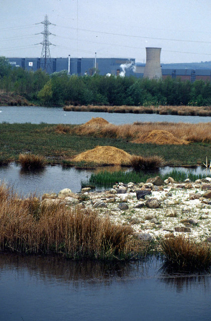
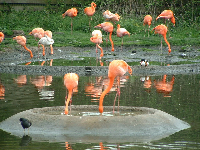
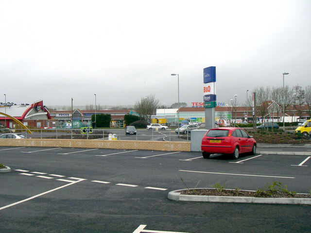
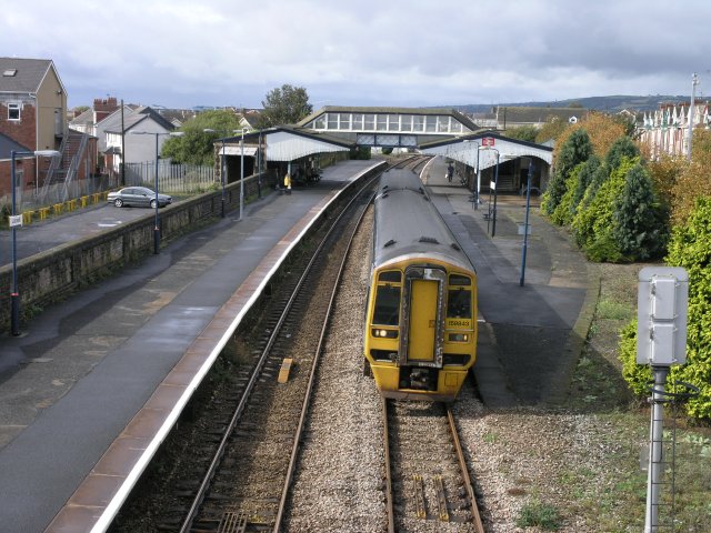
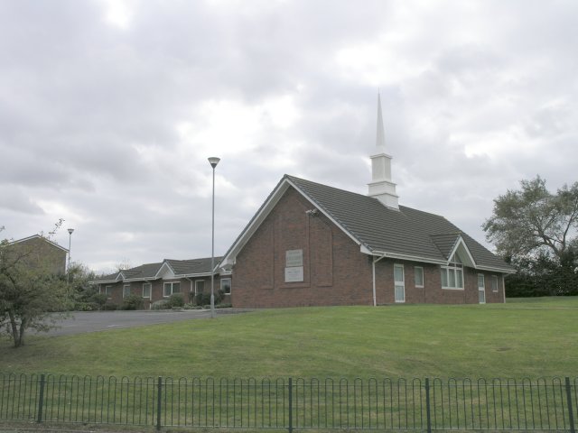
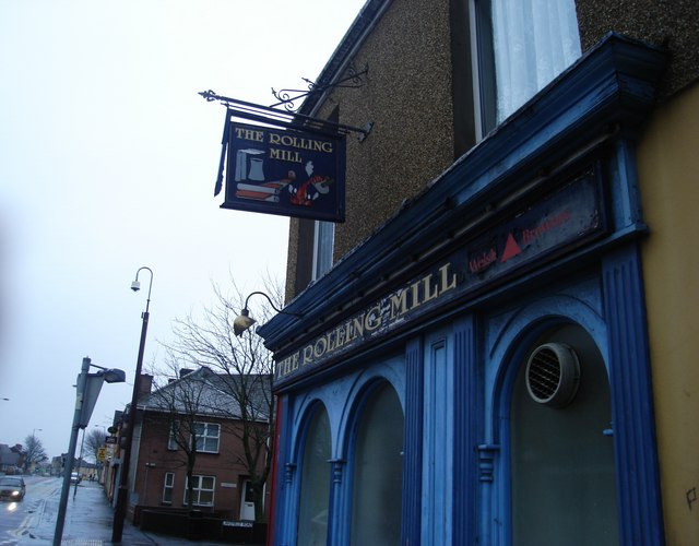
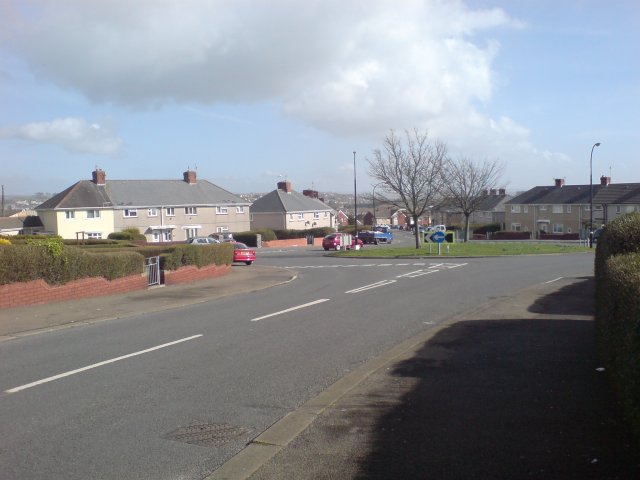
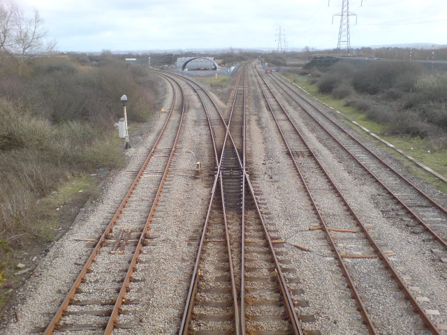
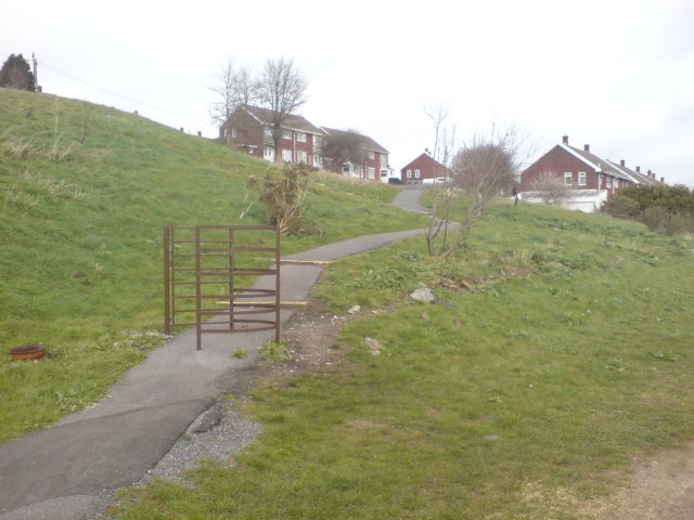
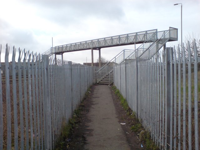
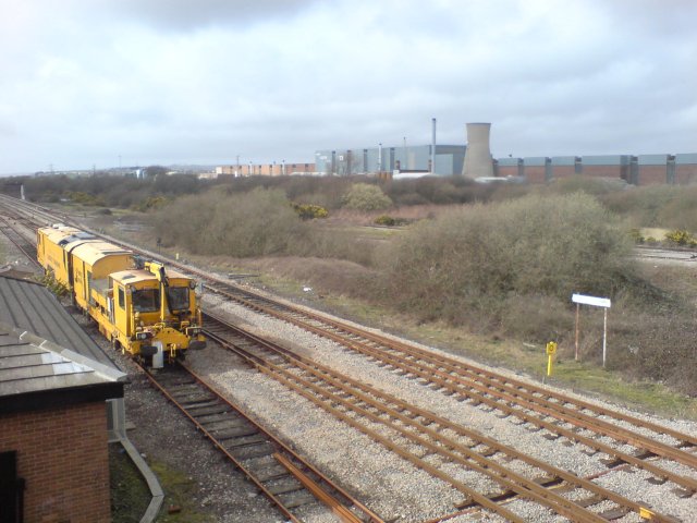
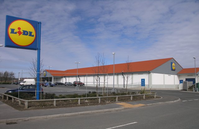
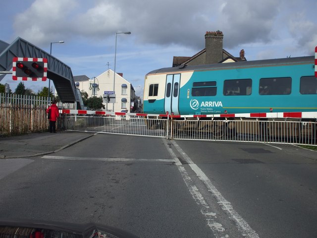
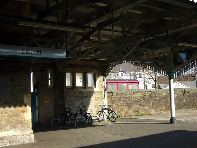
Coed Cae Images

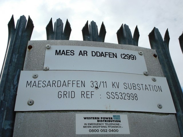
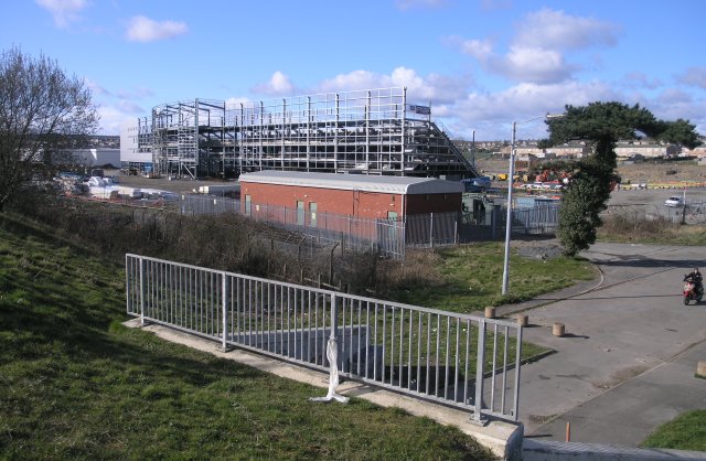
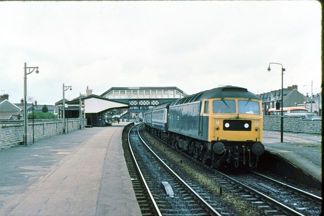
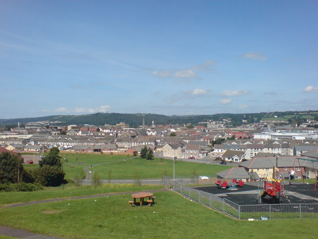
Images are sourced within 2km of 51.681703/-4.1388927 or Grid Reference SN5200. Thanks to Geograph Open Source API. All images are credited.

Millennium Wetlands & Trostre Works The newly-created waterfowl sanctuary contrasts with South Wales' traditional industry.
Millennium Wetlands & Trostre Works
The newly-created waterfowl sanctuary contrasts with South Wales' traditional industry.
The National Wetlands Centre Wales Located on the Ramsar site of the Burry Inlet, WWT's innovative centre at Llanelli is at the frontend of wetland conservation in Wales. Its newest feature is the Millennium Wetland complex, home to wildlife as diverse as dragonfly and Little Egret.
The National Wetlands Centre Wales
Located on the Ramsar site of the Burry Inlet, WWT's innovative centre at Llanelli is at the frontend of wetland conservation in Wales. Its newest feature is the Millennium Wetland complex, home to wildlife as diverse as dragonfly and Little Egret.
New development Llanelli It's always nice to see new developments with character. 
This one is in Llanelli.
New development Llanelli
It's always nice to see new developments with character. This one is in Llanelli.
Llanelli Station Llanelli station on the "South Wales" line, one of the only lines to have survived the cull of the railways in the 1950s.  This is the mainline to London (via Swansea) and is also part of the "Heart Of Wales" line to Shrewsbury, which also runs from Swansea.
Llanelli Station
Llanelli station on the "South Wales" line, one of the only lines to have survived the cull of the railways in the 1950s. This is the mainline to London (via Swansea) and is also part of the "Heart Of Wales" line to Shrewsbury, which also runs from Swansea.
Mormon Chapel, Llanelli Llanelli has played an important part in the Church of Jesus Christ and the Latter Day Saints' history in Wales being the second centre to open in the principality.  The first chapel was built in the centre of the town in 1849 - the first Mormon chapel built in the United Kingdom.

This modern more recent building replaces the original building.
Mormon Chapel, Llanelli
Llanelli has played an important part in the Church of Jesus Christ and the Latter Day Saints' history in Wales being the second centre to open in the principality. The first chapel was built in the centre of the town in 1849 - the first Mormon chapel built in the United Kingdom. This modern more recent building replaces the original building.
Rolling Mill, Llanelli
Pen-Y-Fan, Llanelli The area of Pen-Y-Fan used to be a large estate of council houses, however most of the houses are today owned by their occupiers.
Pen-Y-Fan, Llanelli
The area of Pen-Y-Fan used to be a large estate of council houses, however most of the houses are today owned by their occupiers.
Llandilo Junction This is the junction where the Heart of Wales line departs from the West Wales Line.  It's obvious from the rust on the left line that this railway is predominantly run as a single track line.  Some goods traffic also travels along this line, branching off just south of Pontardulais.

In the distance, just after the junction, some strange arches have recently been constructed.  This turned out to be a prefabricated tunnel, which presumably was lifted over the line when it wasn't being used! <a href="https://www.geograph.org.uk/photo/498158">SS5398 : New tunnel at Llandilo Junction</a>

The spelling of the junction's name is probably a throwback from when welsh spellings were approximated to English; it should probably be Llandeilo junction, but Llandilo is the spelling in not only ancient and modern maps but also in railway documentation.
Llandilo Junction
This is the junction where the Heart of Wales line departs from the West Wales Line. It's obvious from the rust on the left line that this railway is predominantly run as a single track line. Some goods traffic also travels along this line, branching off just south of Pontardulais. In the distance, just after the junction, some strange arches have recently been constructed. This turned out to be a prefabricated tunnel, which presumably was lifted over the line when it wasn't being used! SS5398 : New tunnel at Llandilo Junction The spelling of the junction's name is probably a throwback from when welsh spellings were approximated to English; it should probably be Llandeilo junction, but Llandilo is the spelling in not only ancient and modern maps but also in railway documentation.
Pointless kissing gate There were three identical kissing kates is sequence along the main path here.  today, they seem utterly pointless, but there was some evidence of some form of boundary there at one time.

Years ago, I'm told that this area was known as Rocky Path - but these days the path is paved and a recognised cycle route.
Pointless kissing gate
There were three identical kissing kates is sequence along the main path here. today, they seem utterly pointless, but there was some evidence of some form of boundary there at one time. Years ago, I'm told that this area was known as Rocky Path - but these days the path is paved and a recognised cycle route.
Footbridge over the West Wales railway line With a children's park and several public footpaths converging nearby, you get the impression they REALLY don't want people trespassing on the railway line around here.
Footbridge over the West Wales railway line
With a children's park and several public footpaths converging nearby, you get the impression they REALLY don't want people trespassing on the railway line around here.
Ballast spreader at Llandilo Junction A ballast spreader parked at Llandilo Junction.  In the distance, Trostre steel works can be observed.
Ballast spreader at Llandilo Junction
A ballast spreader parked at Llandilo Junction. In the distance, Trostre steel works can be observed.
Lidl Supermarket, Machynys A recently built Lidl supermarket in Machynys
Lidl Supermarket, Machynys
A recently built Lidl supermarket in Machynys
Maes ar Ddafen sub station
New stadium, under construction Currently being built, this is the construction site for the new rugby stadium in the Trostre area of Llanelli. Soon to be the new home for the Llanelli Scarlets.
New stadium, under construction
Currently being built, this is the construction site for the new rugby stadium in the Trostre area of Llanelli. Soon to be the new home for the Llanelli Scarlets.
Llanelli station 1979
Park near Bigyn School Superb views over Llanelli. My mother was a pupil at the old Victorian Bigyn school in the late 40's early 50's and remembers the landscape below being very different. Everywhere you looked there were industrial chimney stacks to remind you of what an industrial town looked like. Times change.
Park near Bigyn School
Superb views over Llanelli. My mother was a pupil at the old Victorian Bigyn school in the late 40's early 50's and remembers the landscape below being very different. Everywhere you looked there were industrial chimney stacks to remind you of what an industrial town looked like. Times change.
Level crossing, Llanelli
Bikes at the station Bicycle racks for Swansea commuters. The station is mostly unstaffed.
Bikes at the station
Bicycle racks for Swansea commuters. The station is mostly unstaffed.
Show me another place!

Coed Cae is located at Grid Ref: SN5200 (Lat: 51.681703, Lng: -4.1388927)

Unitary Authority: Carmarthenshire

Police Authority: Dyfed Powys

What 3 Words

///dash.lucky.burn. Near Llanelli, Carmarthenshire

Related Wikis

Coedcae School

Coedcae School (Welsh: Ysgol Coedcae) is a comprehensive school in Llanelli, Wales. As of 2020 it has 880 pupils, aged from 11 to 16 years old. The school...

Parc Trostre

Parc Trostre is a retail park in Llanelli, Carmarthenshire, Wales. The first phase of the development occurred in 1988, consisting of stores such as Tesco...

Llanelli Rural

Llanelli Rural (Welsh: Llanelli Gwledig) is a community in the southeast of Carmarthenshire, Wales. == Description == Despite its name, Llanelli Rural...

Pemberton, Carmarthenshire

Pemberton is an area situated east of Llanelli in Carmarthenshire, Wales. It is part of the Llanelli Rural (Welsh-Llanelli Wledig) community bordering...

Nearby Amenities

Located within 500m of 51.681703,-4.1388927
Fuel
Texaco
Brand: Texaco
Brand Wikidata: Q775060
Name Cy: Texaco
Operator: Texaco
Lat/Long: 51.6786449/-4.133659
Traffic Signals
Lat/Long: 51.6816076/-4.1336734
Mini Roundabout
Direction: clockwise
Lat/Long: 51.6799007/-4.1326077
Mini Roundabout
Lat/Long: 51.6784053/-4.1436754
Mini Roundabout
Lat/Long: 51.6848151/-4.1415049
Traffic Signals
Lat/Long: 51.6816223/-4.1338737
Crossing
Crossing: traffic_signals
Traffic Calming: table
Lat/Long: 51.6841085/-4.1391563
Location Transition: yes
Power: tower
Lat/Long: 51.6820555/-4.1322088
Traffic Calming: yes
Lat/Long: 51.6830076/-4.138314
Turning Circle
Lat/Long: 51.6817922/-4.1412953
Turning Circle
Lat/Long: 51.6861292/-4.1401152
Traffic Calming: bump
Lat/Long: 51.6774866/-4.140104
Traffic Calming: bump
Lat/Long: 51.6778694/-4.1390874
Traffic Calming: bump
Lat/Long: 51.6777623/-4.1395453
Bus: yes
Public Transport: stop_position
Lat/Long: 51.6828702/-4.1348935
Bus Stop
Havard Road
Bus: yes
Naptan AtcoCode: 5220AWG60441
Naptan NaptanCode: crmdgjd
Public Transport: platform
Lat/Long: 51.6839865/-4.1386895
Bus Stop
Havard Road
Bus: yes
Naptan AtcoCode: 5220AWG60440
Naptan NaptanCode: crmdtjt
Public Transport: platform
Lat/Long: 51.6840538/-4.1384294
Bus Stop
Halfway Hotel
Bus: yes
Naptan AtcoCode: 5220AWG60438
Naptan NaptanCode: crmdtjm
Public Transport: platform
Lat/Long: 51.682962/-4.1353017
Traffic Calming: yes
Lat/Long: 51.6851186/-4.1368601
Traffic Calming: bump
Lat/Long: 51.6837381/-4.1371715
Bus Stop
Halfway Hotel
Bus: yes
Naptan AtcoCode: 5220AWG60439
Naptan NaptanCode: crmdtjp
Public Transport: platform
Lat/Long: 51.682903/-4.1348606
Traffic Calming: hump
Lat/Long: 51.6830998/-4.135486
Bus Stop
Capel Isaf
Bus: yes
Naptan AtcoCode: 5220AWG60442
Naptan NaptanCode: crmdgdp
Public Transport: platform
Lat/Long: 51.6850358/-4.1421523
Restaurant
The Munchie Machine
Addr City: Llanelli
Addr Housename: New Dock Stars Clubhouse
Addr Postcode: SA15 1JZ
Addr Street: Trostre Road
Cuisine: breakfast
Opening Hours: Mo-Su 07:30-16:00
Phone: +44 7931 491 910
Website: https://www.facebook.com/newdockstarsrfc/
Lat/Long: 51.6784301/-4.1420305
Traffic Calming: yes
Lat/Long: 51.6790029/-4.1431241
Traffic Calming: yes
Lat/Long: 51.6795429/-4.1426265
Traffic Signals
Lat/Long: 51.6826267/-4.1338452
Traffic Signals
Lat/Long: 51.6828811/-4.1333299
Traffic Signals
Lat/Long: 51.6826351/-4.1332554
Traffic Signals
Lat/Long: 51.6824003/-4.1336768
Noexit: yes
Lat/Long: 51.680932/-4.1368219
Waste Basket
Lat/Long: 51.6780256/-4.1405378
Barrier: kissing_gate
Lat/Long: 51.6796106/-4.1427336
Turning Circle
Lat/Long: 51.6812786/-4.1414888
Barrier: bollard
Lat/Long: 51.6784231/-4.1435807
Barrier: bollard
Lat/Long: 51.6811822/-4.1409468
Barrier: bollard
Lat/Long: 51.6812022/-4.140983
Barrier: bollard
Lat/Long: 51.6805636/-4.1416951
Barrier: stile
Lat/Long: 51.6781353/-4.1397778
Barrier: cycle_barrier
Lat/Long: 51.6780374/-4.1404615
Waste Basket
Lat/Long: 51.6781371/-4.1398551
Mini Roundabout
Direction: clockwise
Lat/Long: 51.6781293/-4.1378682
Atm
Drive Through: no
Lat/Long: 51.6805704/-4.1328039
Toilets
Lat/Long: 51.6785439/-4.1337709
Atm
Lat/Long: 51.6785605/-4.1337494
Bus Stop
New Dock Stars
Bus: yes
Naptan AtcoCode: 5220CMX16696
Naptan NaptanCode: crmdtmd
Public Transport: platform
Lat/Long: 51.6779536/-4.1427485
Waste Basket
Lat/Long: 51.6783792/-4.1343111
Crossing
Lat/Long: 51.6783245/-4.1342981
Waste Basket
Lat/Long: 51.6783509/-4.1343735
Crossing
Crossing: unmarked
Crossing Markings: no
Lat/Long: 51.6784606/-4.1346717
Waste Basket
Lat/Long: 51.6784249/-4.134529
Recycling
Lat/Long: 51.6796838/-4.1328082
Crossing
Lat/Long: 51.6806628/-4.1322735
Crossing
Lat/Long: 51.6804633/-4.1326348
Crossing
Lat/Long: 51.6799266/-4.1329003
Traffic Signals
Button Operated: yes
Crossing: traffic_signals
Lat/Long: 51.6789845/-4.1332987
Coedcae School Sports Hall
Leisure: sports_centre
Name Cy: Neuadd Chwaraeon Ysgol Coedcae
Lat/Long: 51.679484/-4.1444644
Crossing
Crossing: unmanned
Lat/Long: 51.6785365/-4.1340486
Fixme: continue
Lat/Long: 51.6822753/-4.1416834
Bench
Lat/Long: 51.6820408/-4.1341303
Bicycle: dismount
Lat/Long: 51.6830478/-4.1335695
Post Box
Collection Times: Mo-Fr 16:30; Sa 11:00
Post Box Type: pillar
Ref: SA15 191
Royal Cypher: EIIR
Royal Cypher Wikidata: Q33102113
Lat/Long: 51.6839498/-4.1384932
Halfway
Place: suburb
Lat/Long: 51.6843771/-4.1340593
Man Made: utility_pole
Utility: telecom
Lat/Long: 51.6845615/-4.1409862
Man Made: utility_pole
Utility: telecom
Lat/Long: 51.6839376/-4.1385038
Man Made: utility_pole
Utility: telecom
Lat/Long: 51.6838877/-4.1381115
Man Made: utility_pole
Utility: telecom
Lat/Long: 51.6843761/-4.1404578
Man Made: utility_pole
Utility: telecom
Lat/Long: 51.6840316/-4.1390355
Street Lamp
Man Made: utility_pole
Lat/Long: 51.6841346/-4.1395652
Man Made: utility_pole
Utility: telecom
Lat/Long: 51.6847112/-4.1414085
Man Made: utility_pole
Utility: telecom
Lat/Long: 51.6842467/-4.1399998
Bus Stop
Bus: yes
Public Transport: platform
Lat/Long: 51.6795466/-4.1435271
Clwb Rygbi Sêr Doc Newydd
Addr City: Llanelli
Addr Postcode: SA14 9UY
Addr Street: Trostre Road
Club: sport
Name Cy: Clwb Rygbi Sêr Doc Newydd
Name En: New Dock Stars RFC
Phone: +44 1554 773 369
Rugby: union
Sport: rugby
Website: https://www.facebook.com/pg/newdockstarsrfc/
Lat/Long: 51.6785164/-4.1417943
Direction: ESE
Generator Method: photovoltaic
Generator Output Electricity: yes
Generator Solar Modules: 10
Generator Source: solar
Generator Type: solar_photovoltaic_panel
Location: roof
Power: generator
Lat/Long: 51.6843029/-4.1378009
Direction: 215
Generator Method: photovoltaic
Generator Output Electricity: yes
Generator Solar Modules: 12
Generator Source: solar
Generator Type: solar_photovoltaic_panel
Location: roof
Power: generator
Lat/Long: 51.6800422/-4.1414602
Direction: 195
Generator Method: photovoltaic
Generator Output Electricity: yes
Generator Solar Modules: 17
Generator Source: solar
Generator Type: solar_photovoltaic_panel
Location: roof
Power: generator
Lat/Long: 51.6807705/-4.142479
Direction: 170
Generator Method: photovoltaic
Generator Output Electricity: yes
Generator Solar Modules: 12
Generator Source: solar
Generator Type: solar_photovoltaic_panel
Location: roof
Power: generator
Lat/Long: 51.6819046/-4.1414332
Direction: 145
Generator Method: photovoltaic
Generator Output Electricity: yes
Generator Solar Modules: 16
Generator Source: solar
Generator Type: solar_photovoltaic_panel
Location: roof
Power: generator
Lat/Long: 51.6810386/-4.1406983
Direction: 215
Generator Method: photovoltaic
Generator Output Electricity: yes
Generator Solar Modules: 16
Generator Source: solar
Generator Type: solar_photovoltaic_panel
Location: roof
Power: generator
Lat/Long: 51.6835029/-4.1385616
Direction: 190
Generator Method: photovoltaic
Generator Output Electricity: yes
Generator Solar Modules: 28
Generator Source: solar
Generator Type: solar_photovoltaic_panel
Location: roof
Power: generator
Lat/Long: 51.6836198/-4.1385007
Direction: SSW
Generator Method: photovoltaic
Generator Output Electricity: yes
Generator Solar Modules: 78
Generator Source: solar
Generator Type: solar_photovoltaic_panel
Location: roof
Power: generator
Lat/Long: 51.685087/-4.1377127
Direction: 165
Generator Method: photovoltaic
Generator Output Electricity: yes
Generator Solar Modules: 12
Generator Source: solar
Generator Type: solar_photovoltaic_panel
Location: roof
Power: generator
Lat/Long: 51.6857203/-4.1387067
Direction: 195
Generator Method: photovoltaic
Generator Output Electricity: yes
Generator Solar Modules: 12
Generator Source: solar
Generator Type: solar_photovoltaic_panel
Location: roof
Power: generator
Lat/Long: 51.6837164/-4.1402717
Direction: SSW
Generator Method: photovoltaic
Generator Output Electricity: yes
Generator Solar Modules: 10
Generator Source: solar
Generator Type: solar_photovoltaic_panel
Location: roof
Power: generator
Lat/Long: 51.6845417/-4.1403525
Direction: SSW
Generator Method: photovoltaic
Generator Output Electricity: yes
Generator Solar Modules: 10
Generator Source: solar
Generator Type: solar_photovoltaic_panel
Location: roof
Power: generator
Lat/Long: 51.6844205/-4.1400681
Direction: 195
Generator Method: photovoltaic
Generator Output Electricity: yes
Generator Solar Modules: 13
Generator Source: solar
Generator Type: solar_photovoltaic_panel
Location: roof
Power: generator
Lat/Long: 51.6841706/-4.1389577
Direction: 195
Generator Method: photovoltaic
Generator Output Electricity: yes
Generator Solar Modules: 10
Generator Source: solar
Generator Type: solar_photovoltaic_panel
Location: roof
Power: generator
Lat/Long: 51.6841302/-4.1387155
Direction: SSW
Generator Method: photovoltaic
Generator Output Electricity: yes
Generator Solar Modules: 14
Generator Source: solar
Generator Type: solar_photovoltaic_panel
Location: roof
Power: generator
Lat/Long: 51.6853137/-4.1403872
Direction: SSW
Generator Method: photovoltaic
Generator Output Electricity: yes
Generator Solar Modules: 15
Generator Source: solar
Generator Type: solar_photovoltaic_panel
Location: roof
Power: generator
Lat/Long: 51.6854589/-4.1408074
Man Made: utility_pole
Utility: telecom
Lat/Long: 51.6840577/-4.1384627
Direction: 195
Generator Method: photovoltaic
Generator Output Electricity: yes
Generator Solar Modules: 12
Generator Source: solar
Generator Type: solar_photovoltaic_panel
Location: roof
Power: generator
Lat/Long: 51.679615/-4.1398269
Direction: 185
Generator Method: photovoltaic
Generator Output Electricity: yes
Generator Solar Modules: 4
Generator Source: solar
Generator Type: solar_photovoltaic_panel
Location: roof
Power: generator
Lat/Long: 51.6802589/-4.141071
Direction: 185
Generator Method: photovoltaic
Generator Output Electricity: yes
Generator Solar Modules: 8
Generator Source: solar
Generator Type: solar_photovoltaic_panel
Location: roof
Power: generator
Lat/Long: 51.6802625/-4.141118
Direction: SSW
Generator Method: photovoltaic
Generator Output Electricity: yes
Generator Solar Modules: 16
Generator Source: solar
Generator Type: solar_photovoltaic_panel
Location: roof
Power: generator
Lat/Long: 51.6837598/-4.1410358
Direction: 215
Generator Method: photovoltaic
Generator Output Electricity: yes
Generator Solar Modules: 14
Generator Source: solar
Generator Type: solar_photovoltaic_panel
Location: roof
Power: generator
Lat/Long: 51.6824292/-4.1405483
Direction: SSW
Generator Method: photovoltaic
Generator Output Electricity: yes
Generator Solar Modules: 16
Generator Source: solar
Generator Type: solar_photovoltaic_panel
Location: roof
Power: generator
Lat/Long: 51.6849715/-4.1403346
Direction: 150
Generator Method: photovoltaic
Generator Output Electricity: yes
Generator Source: solar
Generator Type: solar_photovoltaic_panel
Location: roof
Power: generator
Lat/Long: 51.679774/-4.1447619
Direction: 150
Generator Method: photovoltaic
Generator Output Electricity: yes
Generator Source: solar
Generator Type: solar_photovoltaic_panel
Location: roof
Power: generator
Lat/Long: 51.6797048/-4.1447707
Direction: 150
Generator Method: photovoltaic
Generator Output Electricity: yes
Generator Source: solar
Generator Type: solar_photovoltaic_panel
Location: roof
Power: generator
Lat/Long: 51.6796335/-4.1449796
Man Made: mast
Tower Type: lighting
Lat/Long: 51.6791514/-4.1447046
Man Made: mast
Tower Type: lighting
Lat/Long: 51.6792939/-4.1443346
Man Made: mast
Tower Type: lighting
Lat/Long: 51.6794338/-4.1439647
Man Made: mast
Tower Type: lighting
Lat/Long: 51.6789712/-4.1435073
Man Made: mast
Tower Type: lighting
Lat/Long: 51.6788338/-4.1438793
Man Made: mast
Tower Type: lighting
Lat/Long: 51.6786876/-4.1442411
Crossing
Crossing: unmarked
Crossing Markings: no
Lat/Long: 51.6786534/-4.134077
Street Lamp
Lat/Long: 51.6790951/-4.1431603
Street Lamp
Lat/Long: 51.6788955/-4.1433374
Street Lamp
Lat/Long: 51.6786709/-4.1435358
Direction: ESE
Generator Method: photovoltaic
Generator Output Electricity: yes
Generator Source: solar
Generator Type: solar_photovoltaic_panel
Power: generator
Lat/Long: 51.6797973/-4.1415933
Direction: SSW
Generator Method: photovoltaic
Generator Output Electricity: yes
Generator Source: solar
Generator Type: solar_photovoltaic_panel
Power: generator
Lat/Long: 51.6802755/-4.142442
Street Lamp
Lat/Long: 51.6785195/-4.1440153
Street Lamp
Lat/Long: 51.6847748/-4.1412248
Street Lamp
Lat/Long: 51.6812029/-4.1458713
Capel Isaf
Bus: yes
Public Transport: stop_position
Lat/Long: 51.6850119/-4.142167
Halfway Hotel
Bus: yes
Public Transport: stop_position
Lat/Long: 51.6830017/-4.1352335
Havard Road
Bus: yes
Public Transport: stop_position
Lat/Long: 51.6839959/-4.1384465
Havard Road
Bus: yes
Public Transport: stop_position
Lat/Long: 51.684033/-4.1386801
Bus: yes
Public Transport: stop_position
Lat/Long: 51.6778775/-4.1426981
Bus: yes
Public Transport: stop_position
Lat/Long: 51.6779447/-4.1428092
Penallt
Place: suburb
Lat/Long: 51.6836955/-4.1436884
Capel
Place: suburb
Lat/Long: 51.6841641/-4.136597
Coed Cae
Alt Name: Coedcae
Place: suburb
Lat/Long: 51.6817114/-4.1371141
Turning Circle
Lat/Long: 51.6860969/-4.1385658
Bus Stop
Bus: yes
Public Transport: platform
Lat/Long: 51.6851979/-4.1411786
Bus: yes
Public Transport: stop_position
Lat/Long: 51.685221/-4.1412192
Guerins Barbers
Shop: hairdresser
Lat/Long: 51.6835985/-4.1373613
Chic Hair Design
Shop: hairdresser
Lat/Long: 51.6836809/-4.1372928
The data included in this document is from www.openstreetmap.org. The data is made available under ODbL.

Have you been to Coed Cae?

Leave your review of Coed Cae below (or comments, questions and feedback).