Coed y Cwm
Settlement in Glamorgan
Wales
Coed y Cwm
The requested URL returned error: 429 Too Many Requests
If you have any feedback on the listing, please let us know in the comments section below.
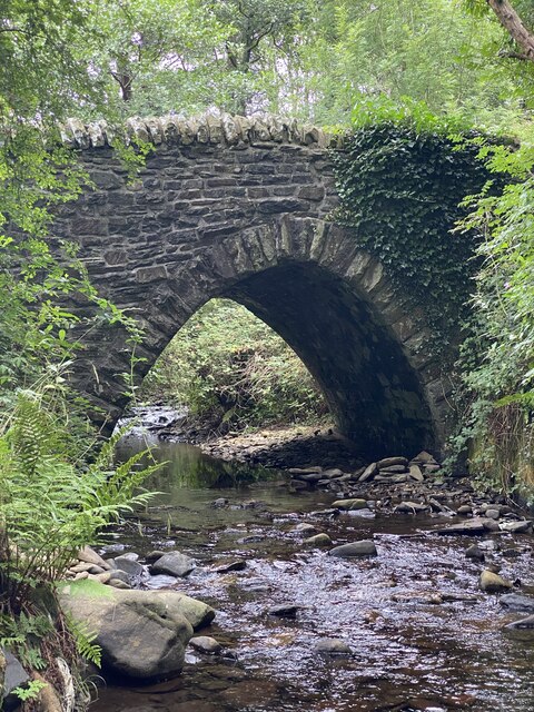
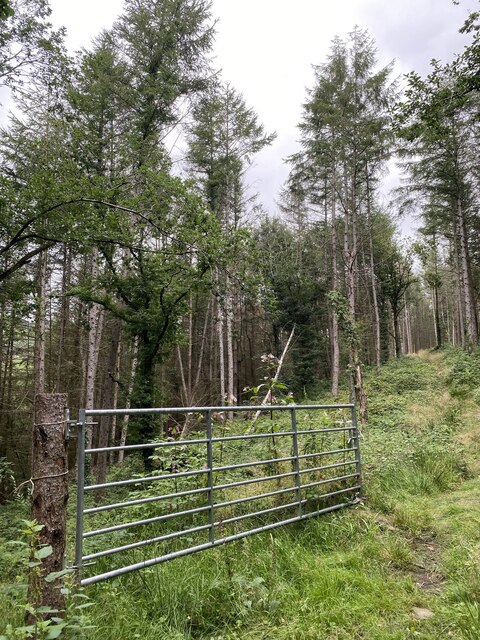
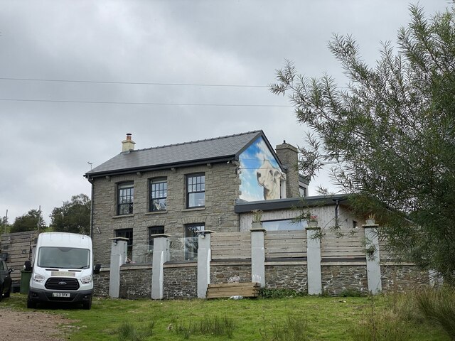
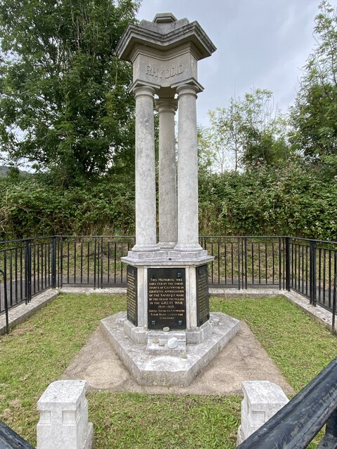
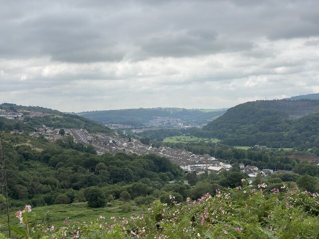
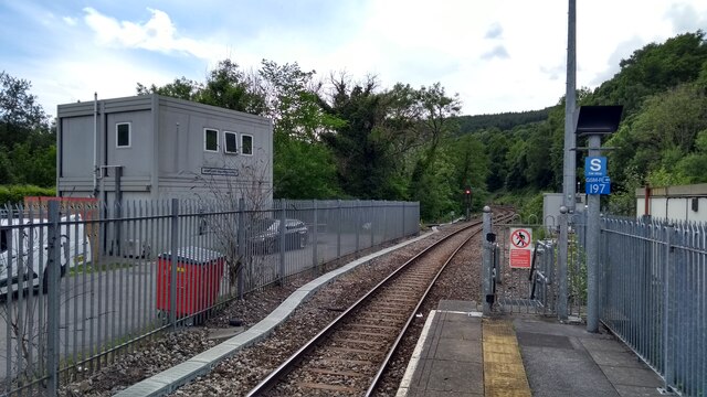
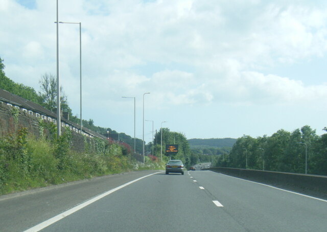
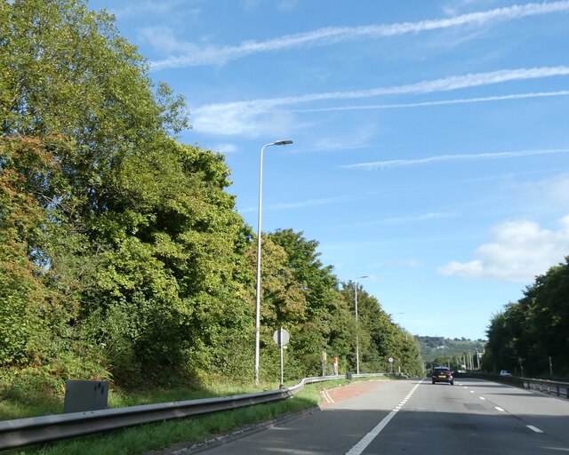
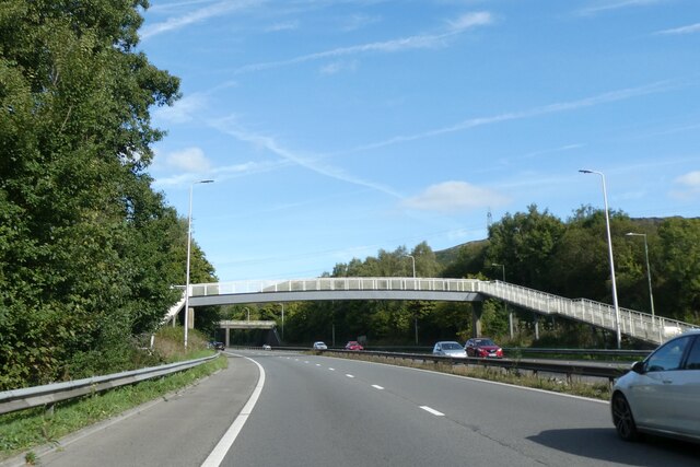
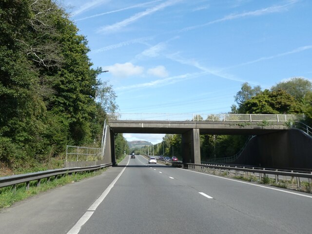
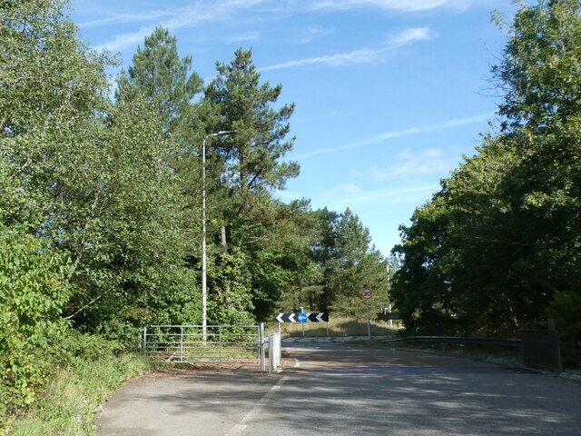
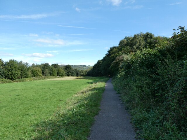
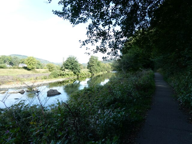
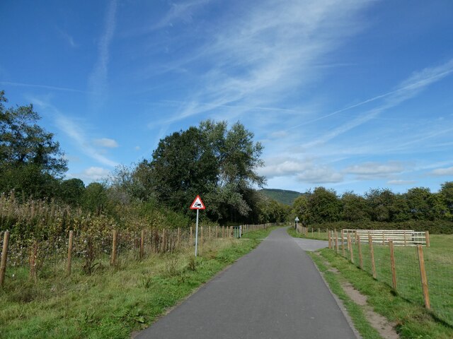
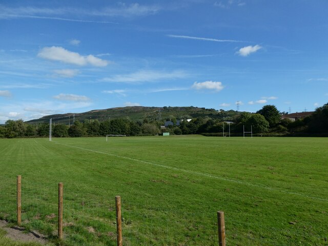
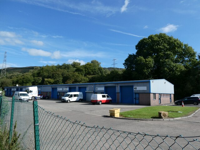
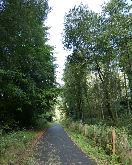
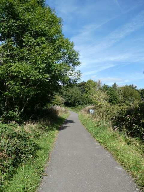
Coed y Cwm Images
Images are sourced within 2km of 51.626979/-3.3321916 or Grid Reference ST0792. Thanks to Geograph Open Source API. All images are credited.
Coed y Cwm is located at Grid Ref: ST0792 (Lat: 51.626979, Lng: -3.3321916)
Unitary Authority: Rhondda Cynon Taf
Police Authority: South Wales
What 3 Words
///plod.feasts.deranged. Near Abercynon, Rhondda Cynon Taf
Nearby Locations
Related Wikis

Clydach Court Halt railway station
Clydach Court Halt railway station served the village of Clydach, in the historical county of Glamorganshire, Wales, from 1917 to 1952 on the Ynysybwl...
Cilfynydd railway station
Cilfynydd railway station served the village of Cilfynydd, in the historical county of Glamorganshire, Wales, from 1900 to 1932 on the Llancaiach Branch...
Albion Colliery
Albion Colliery was a coal mine in South Wales Valleys, located in the village of Cilfynydd, one mile north of Pontypridd. == Location == The Colliery...

Glyncoch
Glyncoch is a village to the north of Pontypridd in Rhondda Cynon Taf, Wales. It is also the name of an electoral ward. == History == The name Glyncoch...
Nearby Amenities
Located within 500m of 51.626979,-3.3321916Have you been to Coed y Cwm?
Leave your review of Coed y Cwm below (or comments, questions and feedback).