Coedhirwaun

Settlement in Glamorgan

Wales

Coedhirwaun

Low Bridge Looking North up the B4283 from a point close to the centre of the square.  As you can imagine the road is subject to flooding here when it rains.
Low Bridge Credit: Chris Shaw

The requested URL returned error: 429 Too Many Requests

If you have any feedback on the listing, please let us know in the comments section below.
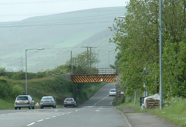
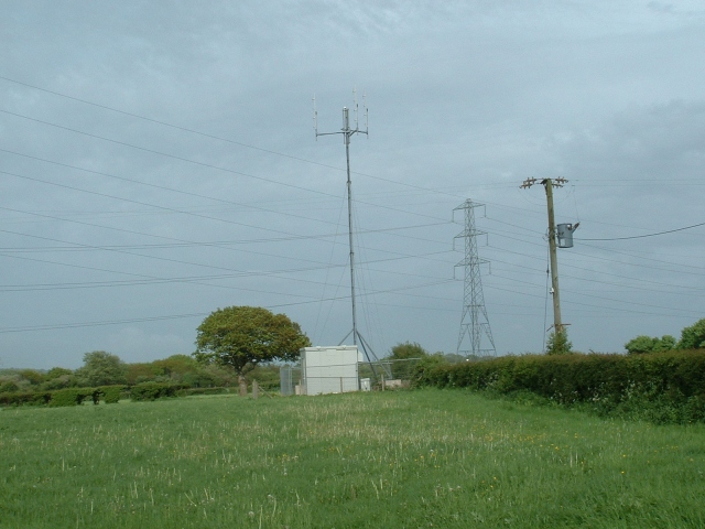
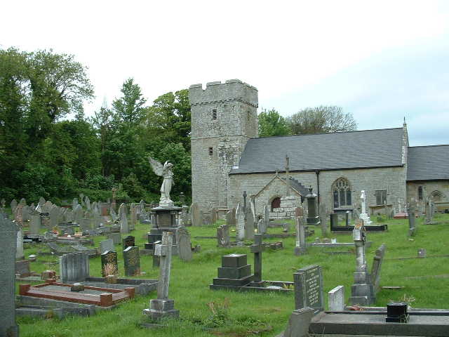
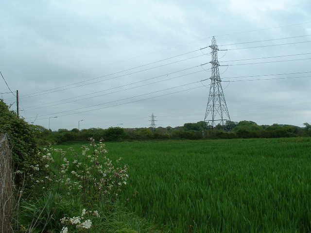
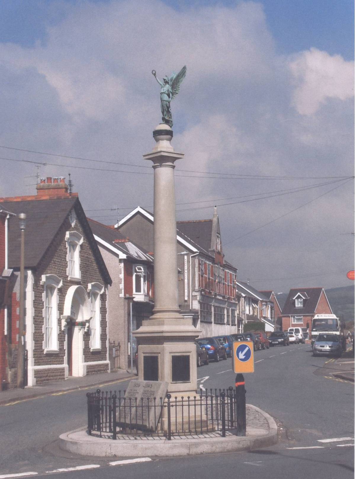
Coedhirwaun Images

Images are sourced within 2km of 51.547209/-3.7010008 or Grid Reference SS8284. Thanks to Geograph Open Source API. All images are credited.

Low Bridge Looking North up the B4283 from a point close to the centre of the square.  As you can imagine the road is subject to flooding here when it rains.
Low Bridge
Looking North up the B4283 from a point close to the centre of the square. As you can imagine the road is subject to flooding here when it rains.
Mast, Pylon, Pole Skyline features in the East of the square - looking East from the B4283, a Roman Road known as Water Street
Mast, Pylon, Pole
Skyline features in the East of the square - looking East from the B4283, a Roman Road known as Water Street
Pavilion Cricket field and pavilion at Margam Country Park, near the NW corner of the square
Pavilion
Cricket field and pavilion at Margam Country Park, near the NW corner of the square
Pyle Church St James, Pyle, from the South
Pyle Church
St James, Pyle, from the South
Fields and Pylons Looking SW close to the centre of the square
Fields and Pylons
Looking SW close to the centre of the square
Pen y Bryn Converted Chapel on the corner of the Lane 'HEOL-Y-GLO'
Pen y Bryn
Converted Chapel on the corner of the Lane 'HEOL-Y-GLO'
The Breast Plantations in Margam Country Park Five blocks of coniferous woodland on the hillside in the Deer Park.
The Breast Plantations in Margam Country Park
Five blocks of coniferous woodland on the hillside in the Deer Park.
Twyn-yr-Hydd House House and Garden Centre in the south-east of Margam Country Park
Twyn-yr-Hydd House
House and Garden Centre in the south-east of Margam Country Park
Milepost on A48 near Pyle Milepost in the Margam Parish hidden in the undergrowth on the eastbound side of the A48 and indicating 184 miles to London.
Milepost on A48 near Pyle
Milepost in the Margam Parish hidden in the undergrowth on the eastbound side of the A48 and indicating 184 miles to London.
Roadbridge over railway near the former Newlands Colliery. The graffiti on the bridge was probably daubed during the coal miners' strike of 1984/85.
Roadbridge over railway near the former Newlands Colliery.
The graffiti on the bridge was probably daubed during the coal miners' strike of 1984/85.
Road Junction on A48 near Margam Country  Park The road off the A48 leads to Twyn-yr-Hydd House and Garden Centre in Margam Country Park
Road Junction on A48 near Margam Country Park
The road off the A48 leads to Twyn-yr-Hydd House and Garden Centre in Margam Country Park
Glan-yr-Afon Road, nr Kenfig Hill Looking roughly southwards down this rural road, lying to the north west of Kenfig Hill and in the west of the grid square.
Glan-yr-Afon Road, nr Kenfig Hill
Looking roughly southwards down this rural road, lying to the north west of Kenfig Hill and in the west of the grid square.
Lodge drive north of Pyle Looking north west from road in the south east of the grid square up a drive for one Oakdale Lodge which is also the first stage of a signposted footpath running north west across the square (and beyond).
Lodge drive north of Pyle
Looking north west from road in the south east of the grid square up a drive for one Oakdale Lodge which is also the first stage of a signposted footpath running north west across the square (and beyond).
Heol-y-Glo north of Pyle Eastward view of some of the short stretch of this road which lies within the grid square. Visible in the picture is the junction with Glan yr Afon Road (to the right) in the south east corner of the square.
Heol-y-Glo north of Pyle
Eastward view of some of the short stretch of this road which lies within the grid square. Visible in the picture is the junction with Glan yr Afon Road (to the right) in the south east corner of the square.
Road junction on the edge of Kenfig Hill Junction where Croft Coch Road (the turning to the left) meets Pont George Road in the south west of the grid square.
Road junction on the edge of Kenfig Hill
Junction where Croft Coch Road (the turning to the left) meets Pont George Road in the south west of the grid square.
Track junction at the south west corner of Coed Cwm Kenfig A junction of tracks, both also footpaths, in a pleasant deciduous area on the edge of the large and often coniferous wood Coed Cwm Kenfig. The more easterly track, to the right, takes one into the heart of this wood, a southern portion of which occupies a substantial part of the north of the grid square.
Track junction at the south west corner of Coed Cwm Kenfig
A junction of tracks, both also footpaths, in a pleasant deciduous area on the edge of the large and often coniferous wood Coed Cwm Kenfig. The more easterly track, to the right, takes one into the heart of this wood, a southern portion of which occupies a substantial part of the north of the grid square.
Farm lane north west of Pen-y-bryn Looking northwards along the stretch of lane which runs through the middle of the northern third of the grid square. The lane serves farms lying in the grid square immediately to the north of this one and is also one of the routes providing access to the wood Coed Cwm Kenfig.
Farm lane north west of Pen-y-bryn
Looking northwards along the stretch of lane which runs through the middle of the northern third of the grid square. The lane serves farms lying in the grid square immediately to the north of this one and is also one of the routes providing access to the wood Coed Cwm Kenfig.
Farm lane south of Coed Cwm Kenfig View looking along the farm lane which runs through the southern half of the grid square, with deciduous woodland on the southern fringes of Coed Cwm Kenfig in the distance.
Farm lane south of Coed Cwm Kenfig
View looking along the farm lane which runs through the southern half of the grid square, with deciduous woodland on the southern fringes of Coed Cwm Kenfig in the distance.
Show me another place!

Coedhirwaun is located at Grid Ref: SS8284 (Lat: 51.547209, Lng: -3.7010008)

Unitary Authority: Neath Port Talbot

Police Authority: South Wales

What 3 Words

///internet.windmill.exposing. Near Pyle, Bridgend

Nearby Locations

Coedhirwaun Coedhirwaun

Related Wikis

Kenfig Hill

Kenfig Hill (Welsh: Mynydd Cynffig) is a village in Bridgend County Borough, South Wales. It is bordered by Pyle to the south-west, Cefn Cribwr to the...

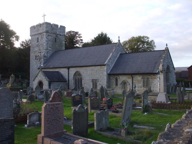
St James's Church, Pyle

St James's Church is a Grade I listed church in Pyle, Bridgend County Borough, southern Wales. A church was present in the area during the Norman period...

Pyle

Pyle (Welsh: Y Pîl) is a village and community (and electoral ward) in Bridgend county borough, Wales. This large village is served by the A48 road, and...

Kenfig Hill railway station

Kenfig Hill railway station served the village of Kenfig Hill, in the historical county of Glamorgan, Wales, from 1865 to 1958 on the Llynvi and Ogmore...

Nearby Amenities

Located within 500m of 51.547209,-3.7010008
School
Coed Hirwaun Primary School
Created By: Potlatch 0.10f
Name Cy: Ysgol Gynradd Coed Hirwaun
Wikidata: Q66169658
Lat/Long: 51.5478444/-3.7045663
Coed Hirwaun
Place: village
Lat/Long: 51.5471642/-3.7022242
Barrier: yes
Lat/Long: 51.5477973/-3.6993474
Post Box
Collection Times: Mo-Fr 16:00; Sa 11:00
Operator: Royal Mail
Post Box Mounting: pier
Post Box Type: lamp
Ref: SA13 65
Royal Cypher: EIIR
Royal Cypher Wikidata: Q33102113
Lat/Long: 51.5474021/-3.7041105
Historic: milepost
Lat/Long: 51.5437329/-3.7045571
Direction: 100
Generator Method: photovoltaic
Generator Output Electricity: yes
Generator Solar Modules: 10
Generator Source: solar
Generator Type: solar_photovoltaic_panel
Location: roof
Power: generator
Lat/Long: 51.5485297/-3.7038457
Direction: SE
Generator Method: photovoltaic
Generator Output Electricity: yes
Generator Solar Modules: 2
Generator Source: solar
Generator Type: solar_photovoltaic_panel
Location: roof
Power: generator
Lat/Long: 51.5491479/-3.7024603
Direction: SSE
Generator Method: photovoltaic
Generator Output Electricity: yes
Generator Solar Modules: 16
Generator Source: solar
Generator Type: solar_photovoltaic_panel
Location: roof
Power: generator
Lat/Long: 51.5481748/-3.7051418
Direction: 190
Generator Method: photovoltaic
Generator Output Electricity: yes
Generator Solar Modules: 10
Generator Source: solar
Generator Type: solar_photovoltaic_panel
Location: roof
Power: generator
Lat/Long: 51.548508/-3.7036116
Direction: 235
Generator Method: photovoltaic
Generator Output Electricity: yes
Generator Solar Modules: 14
Generator Source: solar
Generator Type: solar_photovoltaic_panel
Location: roof
Power: generator
Lat/Long: 51.547933/-3.6991873
Direction: SSE
Generator Method: photovoltaic
Generator Output Electricity: yes
Generator Solar Modules: 10
Generator Source: solar
Generator Type: solar_photovoltaic_panel
Location: roof
Power: generator
Lat/Long: 51.5481892/-3.699826
Direction: SE
Generator Method: photovoltaic
Generator Output Electricity: yes
Generator Solar Modules: 12
Generator Source: solar
Generator Type: solar_photovoltaic_panel
Location: roof
Power: generator
Lat/Long: 51.5491314/-3.7025173
Direction: SW
Generator Method: photovoltaic
Generator Output Electricity: yes
Generator Solar Modules: 16
Generator Source: solar
Generator Type: solar_photovoltaic_panel
Location: roof
Power: generator
Lat/Long: 51.5491706/-3.7015691
Direction: 125
Generator Method: photovoltaic
Generator Output Electricity: yes
Generator Solar Modules: 12
Generator Source: solar
Generator Type: solar_photovoltaic_panel
Location: roof
Power: generator
Lat/Long: 51.5490121/-3.7019098
Direction: 125
Generator Method: photovoltaic
Generator Output Electricity: yes
Generator Solar Modules: 16
Generator Source: solar
Generator Type: solar_photovoltaic_panel
Location: roof
Power: generator
Lat/Long: 51.5489433/-3.7020073
Direction: 165
Generator Method: photovoltaic
Generator Output Electricity: yes
Generator Solar Modules: 6
Generator Source: solar
Generator Type: solar_photovoltaic_panel
Location: roof
Power: generator
Lat/Long: 51.5479532/-3.7033206
Direction: SSE
Generator Method: photovoltaic
Generator Output Electricity: yes
Generator Solar Modules: 8
Generator Source: solar
Generator Type: solar_photovoltaic_panel
Location: roof
Power: generator
Lat/Long: 51.5475961/-3.700161
Direction: WSW
Generator Method: photovoltaic
Generator Output Electricity: yes
Generator Solar Modules: 4
Generator Source: solar
Generator Type: solar_photovoltaic_panel
Location: roof
Power: generator
Lat/Long: 51.5476361/-3.7001717
Direction: 195
Generator Method: photovoltaic
Generator Output Electricity: yes
Generator Solar Modules: 16
Generator Source: solar
Generator Type: solar_photovoltaic_panel
Location: roof
Power: generator
Lat/Long: 51.5471907/-3.6994743
Direction: 235
Generator Method: photovoltaic
Generator Output Electricity: yes
Generator Solar Modules: 13
Generator Source: solar
Generator Type: solar_photovoltaic_panel
Location: roof
Power: generator
Lat/Long: 51.5469537/-3.6982858
Direction: SSE
Generator Method: photovoltaic
Generator Output Electricity: yes
Generator Solar Modules: 6
Generator Source: solar
Generator Type: solar_photovoltaic_panel
Location: roof
Power: generator
Lat/Long: 51.5457246/-3.7004674
Direction: WSW
Generator Method: photovoltaic
Generator Output Electricity: yes
Generator Solar Modules: 5
Generator Source: solar
Generator Type: solar_photovoltaic_panel
Location: roof
Power: generator
Lat/Long: 51.5457565/-3.7005083
Direction: 145
Generator Method: photovoltaic
Generator Output Electricity: yes
Generator Solar Modules: 16
Generator Source: solar
Generator Type: solar_photovoltaic_panel
Location: roof
Power: generator
Lat/Long: 51.5449975/-3.7027101
Direction: SSE
Generator Method: photovoltaic
Generator Output Electricity: yes
Generator Solar Modules: 12
Generator Source: solar
Generator Type: solar_photovoltaic_panel
Location: roof
Power: generator
Lat/Long: 51.547089/-3.7010863
The data included in this document is from www.openstreetmap.org. The data is made available under ODbL.

Have you been to Coedhirwaun?

Leave your review of Coedhirwaun below (or comments, questions and feedback).