Halfway
Settlement in Carmarthenshire
Wales
Halfway
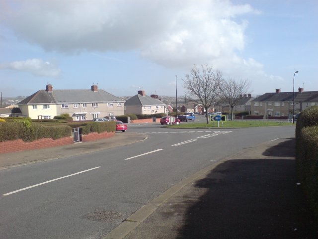
Halfway is a small village located in the county of Carmarthenshire, Wales. Situated halfway between the towns of Llanelli and Carmarthen, it lies on the A484 road, making it easily accessible to both locals and visitors alike.
The village is nestled within a picturesque rural setting, surrounded by lush green farmland and rolling hills, offering stunning views of the Welsh countryside. It benefits from its close proximity to the Carmarthenshire coast, with popular beach destinations such as Pembrey Sands and Cefn Sidan just a short drive away.
Despite its small size, Halfway boasts a strong sense of community and a range of amenities to cater to its residents. These include a local primary school, a village hall, a post office, and a convenience store, providing essential services for the village's population. There is also a traditional pub, where locals and visitors can gather for a drink or a meal, fostering a friendly and welcoming atmosphere.
For those seeking outdoor recreational activities, Halfway offers plenty of opportunities. The nearby Pembrey Country Park provides extensive woodland and coastal trails for walking and cycling, as well as a ski slope, golf course, and horse riding facilities. The village is also a popular destination for birdwatchers, with its diverse range of habitats attracting a variety of species throughout the year.
In summary, Halfway, Carmarthenshire is a charming village that offers a peaceful rural lifestyle, beautiful scenery, and a strong sense of community. It is an ideal location for those looking to enjoy the tranquility of the Welsh countryside while being within reach of essential amenities and nearby coastal attractions.
If you have any feedback on the listing, please let us know in the comments section below.
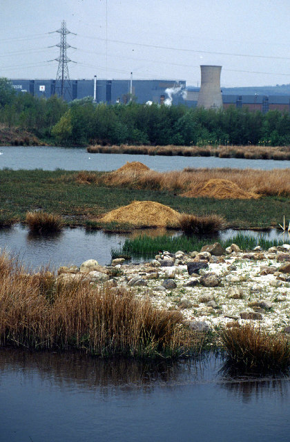
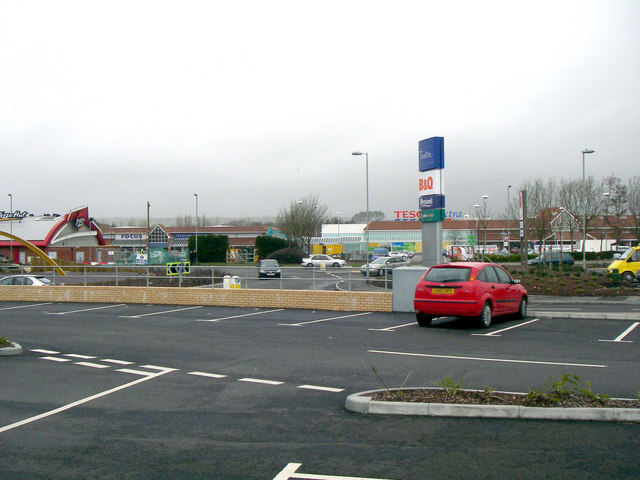
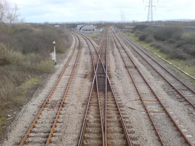
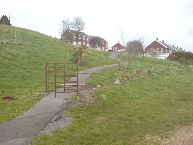
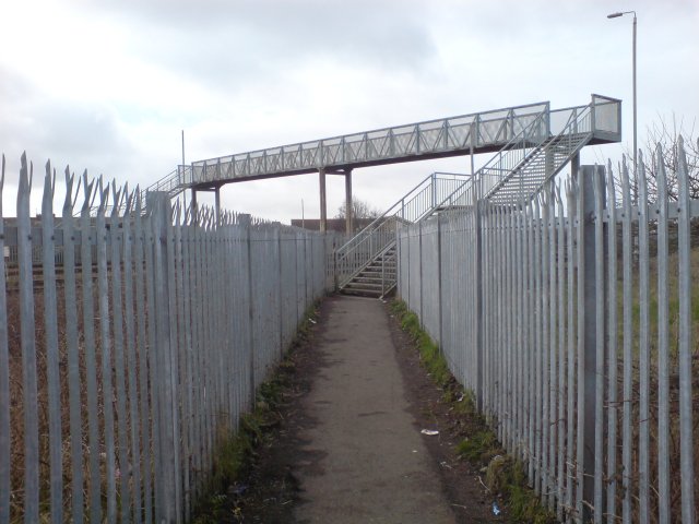
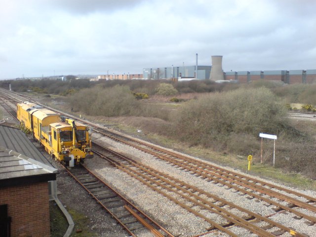
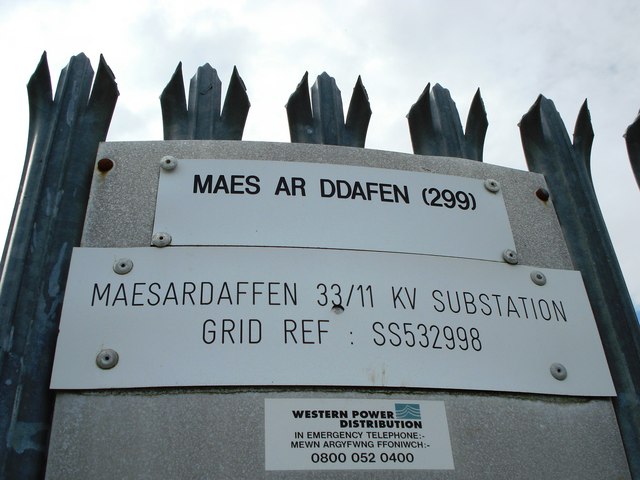
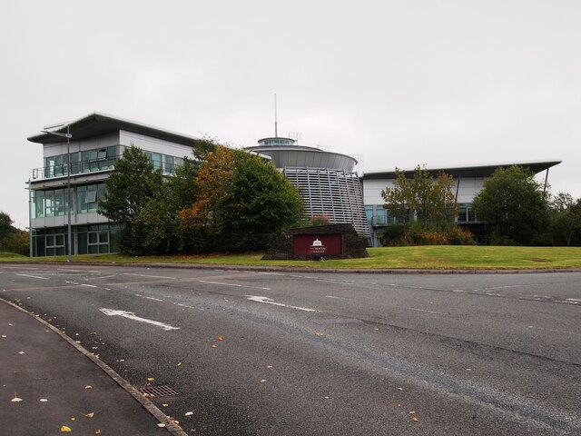
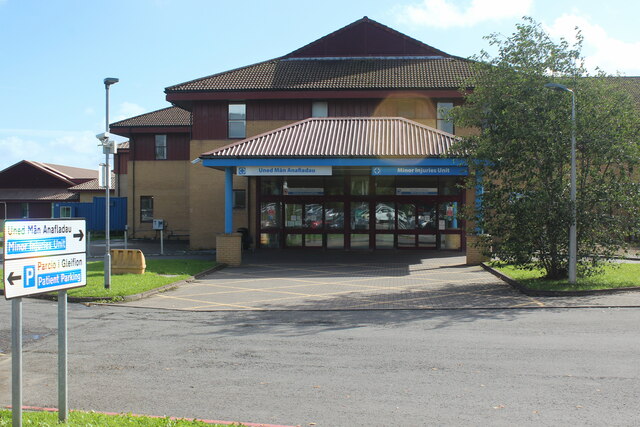
Halfway Images
Images are sourced within 2km of 51.683805/-4.13435 or Grid Reference SN5200. Thanks to Geograph Open Source API. All images are credited.
Halfway is located at Grid Ref: SN5200 (Lat: 51.683805, Lng: -4.13435)
Unitary Authority: Carmarthenshire
Police Authority: Dyfed Powys
What 3 Words
///grace.bounty.paused. Near Llanelli, Carmarthenshire
Related Wikis

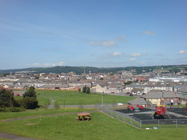
Llanelli Rural
Llanelli Rural (Welsh: Llanelli Gwledig) is a community in the southeast of Carmarthenshire, Wales. == Description == Despite its name, Llanelli Rural...

Pemberton, Carmarthenshire
Pemberton is an area situated east of Llanelli in Carmarthenshire, Wales. It is part of the Llanelli Rural (Welsh-Llanelli Wledig) community bordering...
St John Lloyd Catholic Comprehensive School
St. John Lloyd Catholic Comprehensive School is located in Llanelli, Carmarthenshire, Wales. It is a mixed, community comprehensive school of around 500...

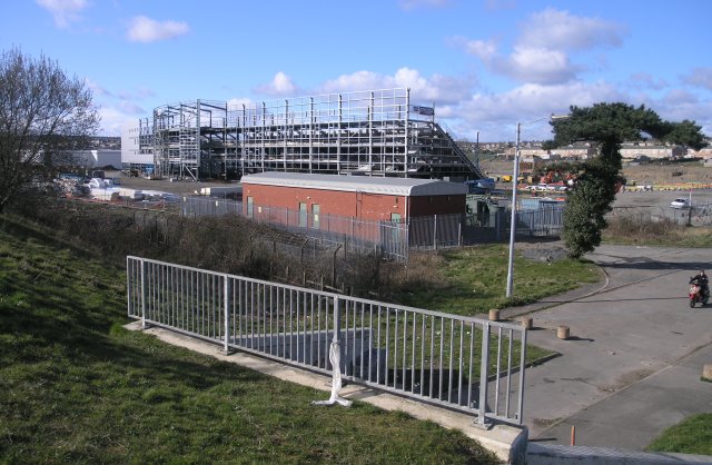
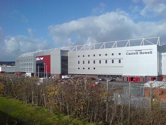
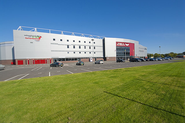
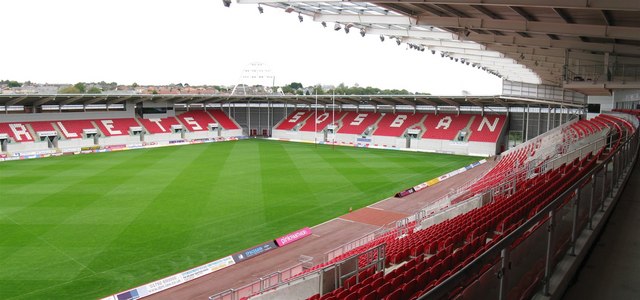
Parc y Scarlets
Parc y Scarlets (Welsh pronunciation: [ˈpark ə ˈskarlɛts], meaning: Scarlets Park) is a rugby union stadium in Llanelli, Carmarthenshire, that opened in...
Nearby Amenities
Located within 500m of 51.683805,-4.13435Have you been to Halfway?
Leave your review of Halfway below (or comments, questions and feedback).