Capel

Settlement in Carmarthenshire

Wales

Capel

New development Llanelli It's always nice to see new developments with character. 
This one is in Llanelli.
New development Llanelli Credit: Dara Jasumani

Capel is a small village located in Carmarthenshire, Wales. Situated in the picturesque Tywi Valley, it is surrounded by rolling green hills and breathtaking natural beauty. The village is located approximately 12 miles northeast of Carmarthen, the county town.

Capel is known for its strong sense of community and its rich heritage. The village is home to a population of around 400 residents, who enjoy a peaceful and idyllic lifestyle. The main focal point of the village is the historic Capel Dewi church, which dates back to the 12th century and is a prominent feature in the local landscape.

The village offers a range of amenities to its residents, including a primary school, a post office, and a community hall. There is also a local pub where residents can gather and socialize. The surrounding countryside provides ample opportunities for outdoor activities such as hiking, cycling, and fishing.

Capel is well-connected to the surrounding areas by road, with the A485 passing through the village, providing access to Carmarthen and other nearby towns. The village also benefits from regular bus services, ensuring convenient transport links for residents.

Overall, Capel is a charming and close-knit community nestled in the heart of the Welsh countryside. Its beautiful natural surroundings, strong community spirit, and rich historical heritage make it an attractive place to live or visit.

If you have any feedback on the listing, please let us know in the comments section below.
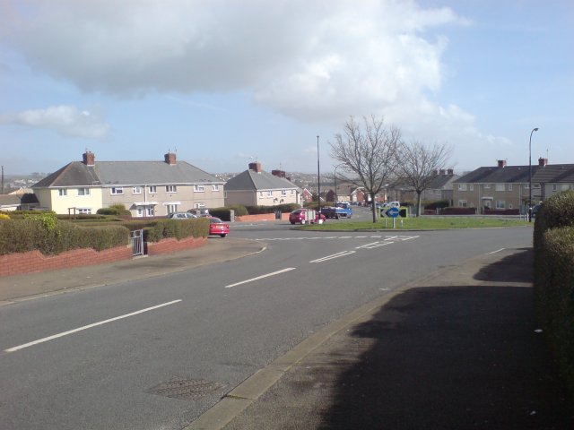
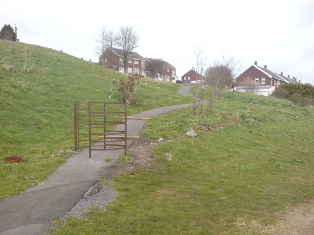
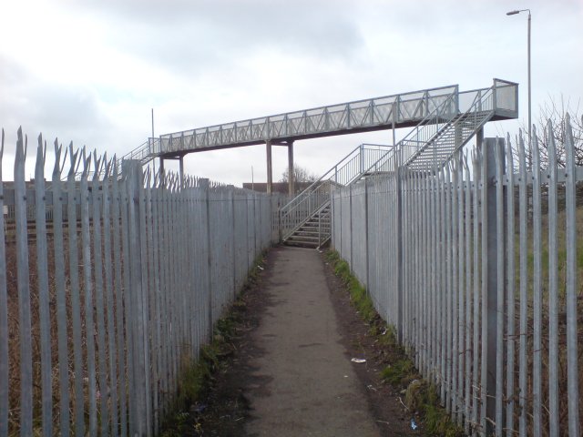
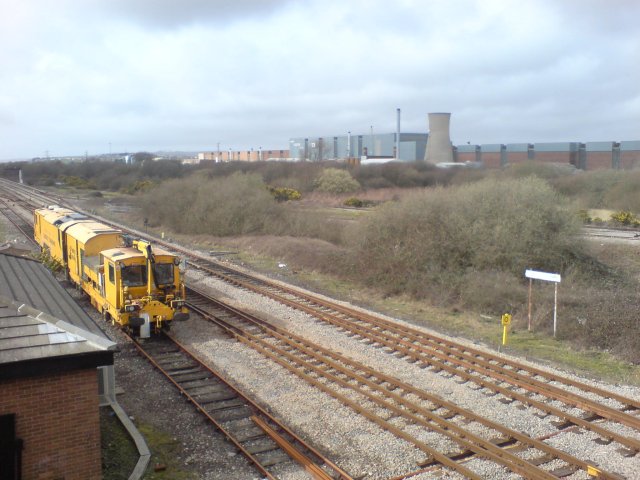
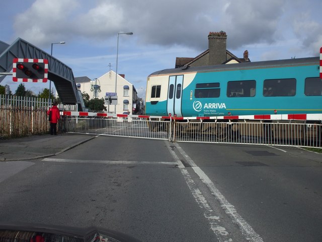
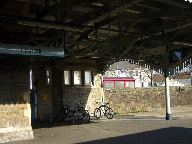
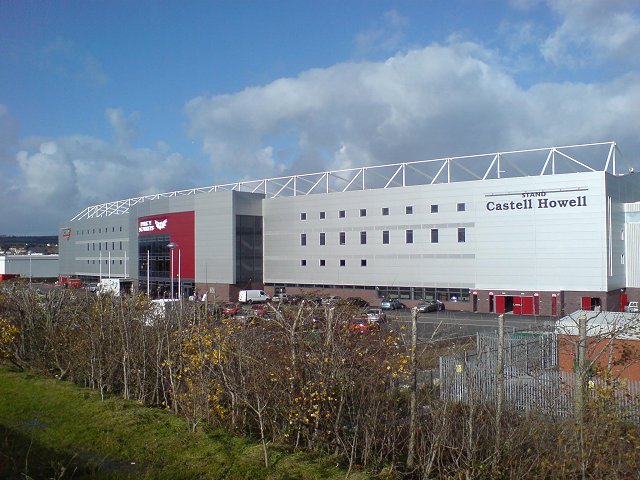
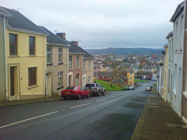
Capel Images

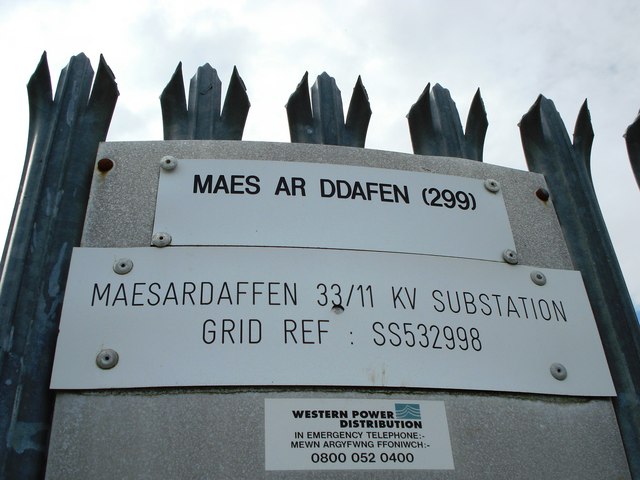
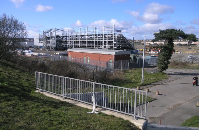
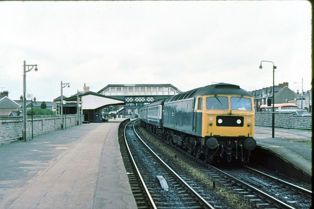
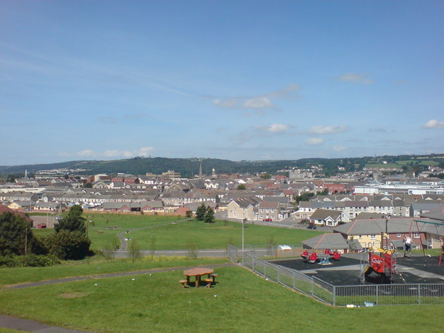
Images are sourced within 2km of 51.68415/-4.1393553 or Grid Reference SN5200. Thanks to Geograph Open Source API. All images are credited.

New development Llanelli It's always nice to see new developments with character. 
This one is in Llanelli.
New development Llanelli
It's always nice to see new developments with character. This one is in Llanelli.
Llanelli Station Llanelli station on the "South Wales" line, one of the only lines to have survived the cull of the railways in the 1950s.  This is the mainline to London (via Swansea) and is also part of the "Heart Of Wales" line to Shrewsbury, which also runs from Swansea.
Llanelli Station
Llanelli station on the "South Wales" line, one of the only lines to have survived the cull of the railways in the 1950s. This is the mainline to London (via Swansea) and is also part of the "Heart Of Wales" line to Shrewsbury, which also runs from Swansea.
Mormon Chapel, Llanelli Llanelli has played an important part in the Church of Jesus Christ and the Latter Day Saints' history in Wales being the second centre to open in the principality.  The first chapel was built in the centre of the town in 1849 - the first Mormon chapel built in the United Kingdom.

This modern more recent building replaces the original building.
Mormon Chapel, Llanelli
Llanelli has played an important part in the Church of Jesus Christ and the Latter Day Saints' history in Wales being the second centre to open in the principality. The first chapel was built in the centre of the town in 1849 - the first Mormon chapel built in the United Kingdom. This modern more recent building replaces the original building.
Rolling Mill, Llanelli
Pen-Y-Fan, Llanelli The area of Pen-Y-Fan used to be a large estate of council houses, however most of the houses are today owned by their occupiers.
Pen-Y-Fan, Llanelli
The area of Pen-Y-Fan used to be a large estate of council houses, however most of the houses are today owned by their occupiers.
Pointless kissing gate There were three identical kissing kates is sequence along the main path here.  today, they seem utterly pointless, but there was some evidence of some form of boundary there at one time.

Years ago, I'm told that this area was known as Rocky Path - but these days the path is paved and a recognised cycle route.
Pointless kissing gate
There were three identical kissing kates is sequence along the main path here. today, they seem utterly pointless, but there was some evidence of some form of boundary there at one time. Years ago, I'm told that this area was known as Rocky Path - but these days the path is paved and a recognised cycle route.
Footbridge over the West Wales railway line With a children's park and several public footpaths converging nearby, you get the impression they REALLY don't want people trespassing on the railway line around here.
Footbridge over the West Wales railway line
With a children's park and several public footpaths converging nearby, you get the impression they REALLY don't want people trespassing on the railway line around here.
Ballast spreader at Llandilo Junction A ballast spreader parked at Llandilo Junction.  In the distance, Trostre steel works can be observed.
Ballast spreader at Llandilo Junction
A ballast spreader parked at Llandilo Junction. In the distance, Trostre steel works can be observed.
Maes ar Ddafen sub station
New stadium, under construction Currently being built, this is the construction site for the new rugby stadium in the Trostre area of Llanelli. Soon to be the new home for the Llanelli Scarlets.
New stadium, under construction
Currently being built, this is the construction site for the new rugby stadium in the Trostre area of Llanelli. Soon to be the new home for the Llanelli Scarlets.
Llanelli station 1979
Park near Bigyn School Superb views over Llanelli. My mother was a pupil at the old Victorian Bigyn school in the late 40's early 50's and remembers the landscape below being very different. Everywhere you looked there were industrial chimney stacks to remind you of what an industrial town looked like. Times change.
Park near Bigyn School
Superb views over Llanelli. My mother was a pupil at the old Victorian Bigyn school in the late 40's early 50's and remembers the landscape below being very different. Everywhere you looked there were industrial chimney stacks to remind you of what an industrial town looked like. Times change.
Level crossing, Llanelli
Bikes at the station Bicycle racks for Swansea commuters. The station is mostly unstaffed.
Bikes at the station
Bicycle racks for Swansea commuters. The station is mostly unstaffed.
Parc y Scarlets This is the brand new stadium, Parc Y Scarlets, the new home for The Scarlets rugby team and  Llanelli's Rugby Football Team.  Taken only 4 days before the first match is to be played there against Cardiff RFC.

Unlike most modern new stadiums, the management resisted corporate sponsorship in naming the stadium, electing to name the stadium after Llanelli RFC's nickname.

The Scarlets and Llanelli Rugby Football Club are now 2 distinct teams, though they both bear the same historic root.
Parc y Scarlets
This is the brand new stadium, Parc Y Scarlets, the new home for The Scarlets rugby team and Llanelli's Rugby Football Team. Taken only 4 days before the first match is to be played there against Cardiff RFC. Unlike most modern new stadiums, the management resisted corporate sponsorship in naming the stadium, electing to name the stadium after Llanelli RFC's nickname. The Scarlets and Llanelli Rugby Football Club are now 2 distinct teams, though they both bear the same historic root.
Down Prendergast Street Running parallel with Bigyn Hill. Numbers 8 to 14 visible on the left. Stradey Woods visible in the far distance.
The name Prendergast is Flemish in origin and is believed to come from the 'lost' Norman/Flemish village of Brontegeest. It came to Britain with a follower of Duke William after the conquest who was given lands near Haverfordwest.
Down Prendergast Street
Running parallel with Bigyn Hill. Numbers 8 to 14 visible on the left. Stradey Woods visible in the far distance. The name Prendergast is Flemish in origin and is believed to come from the 'lost' Norman/Flemish village of Brontegeest. It came to Britain with a follower of Duke William after the conquest who was given lands near Haverfordwest.
New development at Parc Trostre M+S - one of many big names that have followed the national trend of vacating the town centres without a backward glance. Parc Trostre is the new Llanelli. Luckily the 'old' Llanelli seems to be holding strong, but has definitely acquired a slightly different feel since the exodus took hold.
New development at Parc Trostre
M+S - one of many big names that have followed the national trend of vacating the town centres without a backward glance. Parc Trostre is the new Llanelli. Luckily the 'old' Llanelli seems to be holding strong, but has definitely acquired a slightly different feel since the exodus took hold.
Level crossing and footbridge
Show me another place!

Capel is located at Grid Ref: SN5200 (Lat: 51.68415, Lng: -4.1393553)

Unitary Authority: Carmarthenshire

Police Authority: Dyfed Powys

What 3 Words

///fled.filer.lately. Near Llanelli, Carmarthenshire

Related Wikis

St John Lloyd Catholic Comprehensive School

St. John Lloyd Catholic Comprehensive School is located in Llanelli, Carmarthenshire, Wales. It is a mixed, community comprehensive school of around 500...

Stebonheath Park

Stebonheath Park (Welsh: Parc Stebonheath) is a multi-use stadium in Llanelli, West Wales with a capacity of 3,700. It is primarily used as a football...

Llanelli Rural

Llanelli Rural (Welsh: Llanelli Gwledig) is a community in the southeast of Carmarthenshire, Wales. == Description == Despite its name, Llanelli Rural...

Pemberton, Carmarthenshire

Pemberton is an area situated east of Llanelli in Carmarthenshire, Wales. It is part of the Llanelli Rural (Welsh-Llanelli Wledig) community bordering...

Nearby Amenities

Located within 500m of 51.68415,-4.1393553
Traffic Signals
Lat/Long: 51.6816076/-4.1336734
Mini Roundabout
Lat/Long: 51.6848151/-4.1415049
Traffic Signals
Lat/Long: 51.6816223/-4.1338737
Crossing
Crossing: traffic_signals
Traffic Calming: table
Lat/Long: 51.6841085/-4.1391563
Traffic Calming: yes
Lat/Long: 51.6830076/-4.138314
Turning Circle
Lat/Long: 51.6817922/-4.1412953
Turning Circle
Lat/Long: 51.6863027/-4.138452
Turning Circle
Lat/Long: 51.6861292/-4.1401152
Turning Circle
Lat/Long: 51.6863515/-4.1433579
Bus: yes
Public Transport: stop_position
Lat/Long: 51.6828702/-4.1348935
Bus Stop
Havard Road
Bus: yes
Naptan AtcoCode: 5220AWG60441
Naptan NaptanCode: crmdgjd
Public Transport: platform
Lat/Long: 51.6839865/-4.1386895
Bus Stop
Havard Road
Bus: yes
Naptan AtcoCode: 5220AWG60440
Naptan NaptanCode: crmdtjt
Public Transport: platform
Lat/Long: 51.6840538/-4.1384294
Bus Stop
Halfway Hotel
Bus: yes
Naptan AtcoCode: 5220AWG60438
Naptan NaptanCode: crmdtjm
Public Transport: platform
Lat/Long: 51.682962/-4.1353017
Traffic Calming: yes
Lat/Long: 51.6851186/-4.1368601
Traffic Calming: bump
Lat/Long: 51.6837381/-4.1371715
Bus Stop
Halfway Hotel
Bus: yes
Naptan AtcoCode: 5220AWG60439
Naptan NaptanCode: crmdtjp
Public Transport: platform
Lat/Long: 51.682903/-4.1348606
Traffic Calming: hump
Lat/Long: 51.6830998/-4.135486
Bus Stop
Capel Isaf
Bus: yes
Naptan AtcoCode: 5220AWG60442
Naptan NaptanCode: crmdgdp
Public Transport: platform
Lat/Long: 51.6850358/-4.1421523
Traffic Calming: yes
Lat/Long: 51.6852633/-4.1434064
Traffic Calming: table
Lat/Long: 51.685614/-4.1450072
Bus Stop
Brynamlwg
Bus: yes
Naptan AtcoCode: 5220AWG60444
Naptan NaptanCode: crmgjmj
Public Transport: platform
Lat/Long: 51.6858573/-4.1456569
Traffic Signals
Lat/Long: 51.6826267/-4.1338452
Traffic Signals
Lat/Long: 51.6828811/-4.1333299
Traffic Signals
Lat/Long: 51.6826351/-4.1332554
Traffic Signals
Lat/Long: 51.6824003/-4.1336768
Noexit: yes
Lat/Long: 51.680932/-4.1368219
Turning Circle
Lat/Long: 51.6812786/-4.1414888
Barrier: bollard
Lat/Long: 51.6811822/-4.1409468
Barrier: bollard
Lat/Long: 51.6812022/-4.140983
Barrier: bollard
Lat/Long: 51.6805636/-4.1416951
Traffic Calming: yes
Lat/Long: 51.6863022/-4.1371236
Fixme: continue
Lat/Long: 51.6822753/-4.1416834
Power: pole
Lat/Long: 51.6847664/-4.1456423
Bench
Lat/Long: 51.6820408/-4.1341303
Bicycle: dismount
Lat/Long: 51.6830478/-4.1335695
Post Box
Collection Times: Mo-Fr 16:30; Sa 11:00
Post Box Type: pillar
Ref: SA15 191
Royal Cypher: EIIR
Royal Cypher Wikidata: Q33102113
Lat/Long: 51.6839498/-4.1384932
Halfway
Place: suburb
Lat/Long: 51.6843771/-4.1340593
Man Made: utility_pole
Utility: telecom
Lat/Long: 51.6845615/-4.1409862
Man Made: utility_pole
Utility: telecom
Lat/Long: 51.6839376/-4.1385038
Man Made: utility_pole
Utility: telecom
Lat/Long: 51.6838877/-4.1381115
Man Made: utility_pole
Utility: telecom
Lat/Long: 51.6843761/-4.1404578
Man Made: utility_pole
Utility: telecom
Lat/Long: 51.6840316/-4.1390355
Street Lamp
Man Made: utility_pole
Lat/Long: 51.6841346/-4.1395652
Man Made: utility_pole
Utility: telecom
Lat/Long: 51.6847112/-4.1414085
Man Made: utility_pole
Utility: telecom
Lat/Long: 51.6842467/-4.1399998
Direction: ESE
Generator Method: photovoltaic
Generator Output Electricity: yes
Generator Solar Modules: 10
Generator Source: solar
Generator Type: solar_photovoltaic_panel
Location: roof
Power: generator
Lat/Long: 51.6843029/-4.1378009
Direction: 215
Generator Method: photovoltaic
Generator Output Electricity: yes
Generator Solar Modules: 12
Generator Source: solar
Generator Type: solar_photovoltaic_panel
Location: roof
Power: generator
Lat/Long: 51.6800422/-4.1414602
Direction: 195
Generator Method: photovoltaic
Generator Output Electricity: yes
Generator Solar Modules: 17
Generator Source: solar
Generator Type: solar_photovoltaic_panel
Location: roof
Power: generator
Lat/Long: 51.6807705/-4.142479
Direction: 170
Generator Method: photovoltaic
Generator Output Electricity: yes
Generator Solar Modules: 12
Generator Source: solar
Generator Type: solar_photovoltaic_panel
Location: roof
Power: generator
Lat/Long: 51.6819046/-4.1414332
Direction: 145
Generator Method: photovoltaic
Generator Output Electricity: yes
Generator Solar Modules: 16
Generator Source: solar
Generator Type: solar_photovoltaic_panel
Location: roof
Power: generator
Lat/Long: 51.6810386/-4.1406983
Direction: 215
Generator Method: photovoltaic
Generator Output Electricity: yes
Generator Solar Modules: 16
Generator Source: solar
Generator Type: solar_photovoltaic_panel
Location: roof
Power: generator
Lat/Long: 51.6835029/-4.1385616
Direction: 190
Generator Method: photovoltaic
Generator Output Electricity: yes
Generator Solar Modules: 28
Generator Source: solar
Generator Type: solar_photovoltaic_panel
Location: roof
Power: generator
Lat/Long: 51.6836198/-4.1385007
Direction: SSW
Generator Method: photovoltaic
Generator Output Electricity: yes
Generator Solar Modules: 78
Generator Source: solar
Generator Type: solar_photovoltaic_panel
Location: roof
Power: generator
Lat/Long: 51.685087/-4.1377127
Direction: 125
Generator Method: photovoltaic
Generator Output Electricity: yes
Generator Solar Modules: 16
Generator Source: solar
Generator Type: solar_photovoltaic_panel
Location: roof
Power: generator
Lat/Long: 51.6869928/-4.1357848
Direction: 195
Generator Method: photovoltaic
Generator Output Electricity: yes
Generator Solar Modules: 12
Generator Source: solar
Generator Type: solar_photovoltaic_panel
Location: roof
Power: generator
Lat/Long: 51.6881806/-4.1378119
Direction: SSW
Generator Method: photovoltaic
Generator Output Electricity: yes
Generator Solar Modules: 13
Generator Source: solar
Generator Type: solar_photovoltaic_panel
Location: roof
Power: generator
Lat/Long: 51.6884503/-4.1387251
Direction: 215
Generator Method: photovoltaic
Generator Output Electricity: yes
Generator Solar Modules: 10
Generator Source: solar
Generator Type: solar_photovoltaic_panel
Location: roof
Power: generator
Lat/Long: 51.6868153/-4.1367749
Direction: 165
Generator Method: photovoltaic
Generator Output Electricity: yes
Generator Solar Modules: 12
Generator Source: solar
Generator Type: solar_photovoltaic_panel
Location: roof
Power: generator
Lat/Long: 51.6857203/-4.1387067
Direction: 195
Generator Method: photovoltaic
Generator Output Electricity: yes
Generator Solar Modules: 12
Generator Source: solar
Generator Type: solar_photovoltaic_panel
Location: roof
Power: generator
Lat/Long: 51.6837164/-4.1402717
Direction: ESE
Generator Method: photovoltaic
Generator Output Electricity: yes
Generator Solar Modules: 6
Generator Source: solar
Generator Type: solar_photovoltaic_panel
Location: roof
Power: generator
Lat/Long: 51.685056/-4.1461099
Direction: WNW
Generator Method: photovoltaic
Generator Output Electricity: yes
Generator Solar Modules: 6
Generator Source: solar
Generator Type: solar_photovoltaic_panel
Location: roof
Power: generator
Lat/Long: 51.6850627/-4.1461374
Direction: SSW
Generator Method: photovoltaic
Generator Output Electricity: yes
Generator Solar Modules: 10
Generator Source: solar
Generator Type: solar_photovoltaic_panel
Location: roof
Power: generator
Lat/Long: 51.6845417/-4.1403525
Direction: SSW
Generator Method: photovoltaic
Generator Output Electricity: yes
Generator Solar Modules: 10
Generator Source: solar
Generator Type: solar_photovoltaic_panel
Location: roof
Power: generator
Lat/Long: 51.6844205/-4.1400681
Direction: 195
Generator Method: photovoltaic
Generator Output Electricity: yes
Generator Solar Modules: 13
Generator Source: solar
Generator Type: solar_photovoltaic_panel
Location: roof
Power: generator
Lat/Long: 51.6841706/-4.1389577
Direction: 195
Generator Method: photovoltaic
Generator Output Electricity: yes
Generator Solar Modules: 10
Generator Source: solar
Generator Type: solar_photovoltaic_panel
Location: roof
Power: generator
Lat/Long: 51.6841302/-4.1387155
Direction: SSW
Generator Method: photovoltaic
Generator Output Electricity: yes
Generator Solar Modules: 14
Generator Source: solar
Generator Type: solar_photovoltaic_panel
Location: roof
Power: generator
Lat/Long: 51.6853137/-4.1403872
Direction: SSW
Generator Method: photovoltaic
Generator Output Electricity: yes
Generator Solar Modules: 15
Generator Source: solar
Generator Type: solar_photovoltaic_panel
Location: roof
Power: generator
Lat/Long: 51.6854589/-4.1408074
Direction: 170
Generator Method: photovoltaic
Generator Output Electricity: yes
Generator Solar Modules: 34
Generator Source: solar
Generator Type: solar_photovoltaic_panel
Location: roof
Power: generator
Lat/Long: 51.6868631/-4.1413226
Man Made: utility_pole
Utility: telecom
Lat/Long: 51.6840577/-4.1384627
Direction: SSW
Generator Method: photovoltaic
Generator Output Electricity: yes
Generator Solar Modules: 12
Generator Source: solar
Generator Type: solar_photovoltaic_panel
Location: roof
Power: generator
Lat/Long: 51.6865352/-4.1423542
Direction: 185
Generator Method: photovoltaic
Generator Output Electricity: yes
Generator Solar Modules: 4
Generator Source: solar
Generator Type: solar_photovoltaic_panel
Location: roof
Power: generator
Lat/Long: 51.6802589/-4.141071
Direction: 185
Generator Method: photovoltaic
Generator Output Electricity: yes
Generator Solar Modules: 8
Generator Source: solar
Generator Type: solar_photovoltaic_panel
Location: roof
Power: generator
Lat/Long: 51.6802625/-4.141118
Direction: SSW
Generator Method: photovoltaic
Generator Output Electricity: yes
Generator Solar Modules: 16
Generator Source: solar
Generator Type: solar_photovoltaic_panel
Location: roof
Power: generator
Lat/Long: 51.6837598/-4.1410358
Direction: 215
Generator Method: photovoltaic
Generator Output Electricity: yes
Generator Solar Modules: 14
Generator Source: solar
Generator Type: solar_photovoltaic_panel
Location: roof
Power: generator
Lat/Long: 51.6824292/-4.1405483
Direction: SSW
Generator Method: photovoltaic
Generator Output Electricity: yes
Generator Solar Modules: 16
Generator Source: solar
Generator Type: solar_photovoltaic_panel
Location: roof
Power: generator
Lat/Long: 51.6849715/-4.1403346
Direction: SSW
Generator Method: photovoltaic
Generator Output Electricity: yes
Generator Source: solar
Generator Type: solar_photovoltaic_panel
Power: generator
Lat/Long: 51.6802755/-4.142442
Street Lamp
Lat/Long: 51.6847748/-4.1412248
Brynamlwg
Bus: yes
Public Transport: stop_position
Lat/Long: 51.6858104/-4.145706
Capel Isaf
Bus: yes
Public Transport: stop_position
Lat/Long: 51.6850119/-4.142167
Halfway Hotel
Bus: yes
Public Transport: stop_position
Lat/Long: 51.6830017/-4.1352335
Havard Road
Bus: yes
Public Transport: stop_position
Lat/Long: 51.6839959/-4.1384465
Havard Road
Bus: yes
Public Transport: stop_position
Lat/Long: 51.684033/-4.1386801
Penallt
Place: suburb
Lat/Long: 51.6836955/-4.1436884
Capel
Place: suburb
Lat/Long: 51.6841641/-4.136597
Coed Cae
Alt Name: Coedcae
Place: suburb
Lat/Long: 51.6817114/-4.1371141
Turning Circle
Lat/Long: 51.6860969/-4.1385658
Bus Stop
Bus: yes
Public Transport: platform
Lat/Long: 51.6851979/-4.1411786
Bus: yes
Public Transport: stop_position
Lat/Long: 51.685221/-4.1412192
Bus Stop
Bus: yes
Public Transport: platform
Lat/Long: 51.6877225/-4.1403311
Bus: yes
Public Transport: stop_position
Lat/Long: 51.6877395/-4.1403929
Guerins Barbers
Shop: hairdresser
Lat/Long: 51.6835985/-4.1373613
Chic Hair Design
Shop: hairdresser
Lat/Long: 51.6836809/-4.1372928
The data included in this document is from www.openstreetmap.org. The data is made available under ODbL.

Have you been to Capel?

Leave your review of Capel below (or comments, questions and feedback).