Capel
Settlement in Surrey Mole Valley
England
Capel
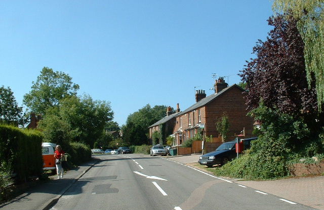
Capel is a small village located in the Mole Valley district of Surrey, England. It is situated approximately 10 miles southwest of Dorking and 24 miles southeast of Guildford. The village lies within the Surrey Hills Area of Outstanding Natural Beauty, surrounded by picturesque countryside.
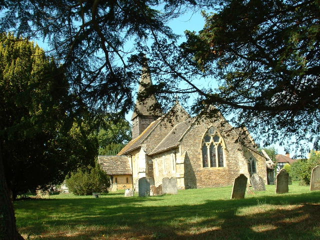
Capel has a population of around 1,200 residents, making it a close-knit and tight community. The village has a rich history dating back to the medieval period, with several historic buildings still standing today. St. John the Baptist Church, a Grade II listed building, is a prominent feature in the village and dates back to the 13th century.
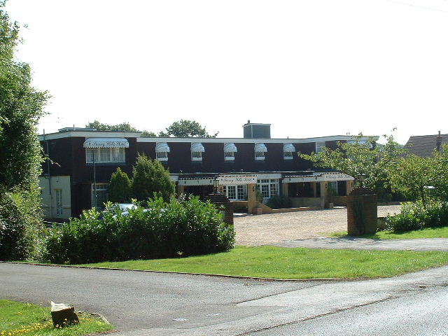
Despite its small size, Capel offers a range of amenities and services to its residents. These include a primary school, a village hall, a post office, and a local convenience store. The village also boasts a traditional pub, The Crown Inn, which serves as a popular meeting place for locals and visitors alike.
Capel is well-known for its annual summer fair, the Capel Show, which attracts thousands of people from across the region. The event features various agricultural displays, livestock competitions, craft stalls, and entertainment, providing a fun-filled day out for families.
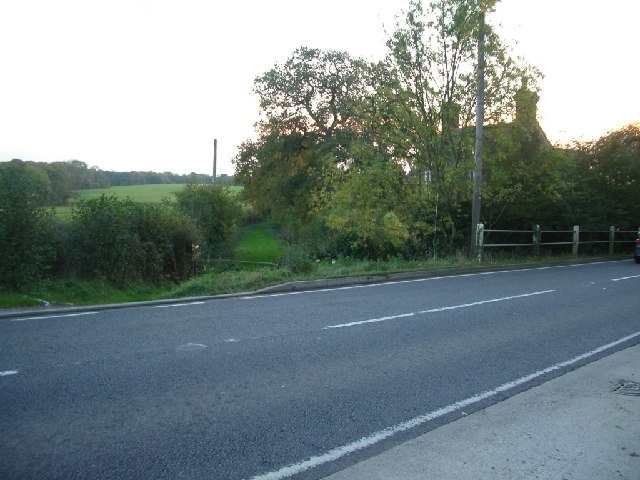
Due to its idyllic location, Capel offers numerous opportunities for outdoor activities. The village is surrounded by beautiful countryside, perfect for walking, cycling, and horse riding. Additionally, the nearby Surrey Hills provide ample opportunities for hiking and exploring nature.
In summary, Capel is a charming village in Surrey, offering a peaceful and picturesque setting, a close-knit community, and a range of amenities and activities for residents and visitors to enjoy.
If you have any feedback on the listing, please let us know in the comments section below.
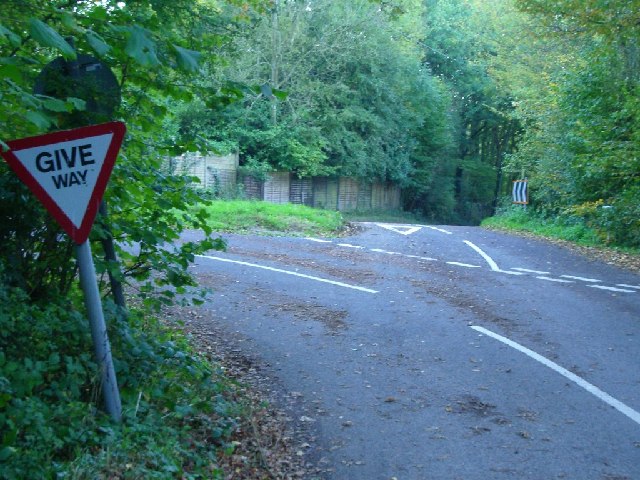
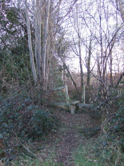
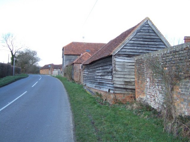
Capel Images
Images are sourced within 2km of 51.153671/-0.31983492 or Grid Reference TQ1740. Thanks to Geograph Open Source API. All images are credited.


Capel is located at Grid Ref: TQ1740 (Lat: 51.153671, Lng: -0.31983492)
Administrative County: Surrey
District: Mole Valley
Police Authority: Surrey
What 3 Words
///cones.noise.tent. Near Capel, Surrey
Nearby Locations
Related Wikis

Capel, Surrey
Capel () is a village and civil parish in southern Surrey, England. It is equidistant between Dorking and Horsham – about 5 miles (8.0 km) away. Around...

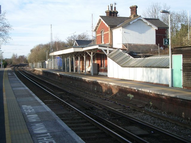
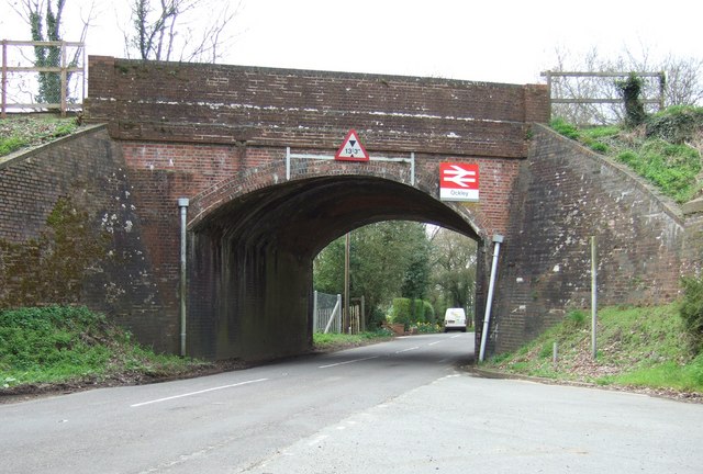
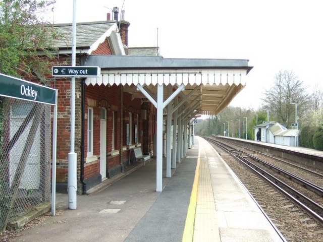
Ockley railway station
Ockley railway station serves the villages of Ockley and Capel in Surrey, England and is 1.4 miles (2.3 km) from Ockley village and 0.5 miles (0.80 km...

Auclaye
Auclaye is a 0.6-hectare (1.5-acre) geological Site of Special Scientific Interest south of Capel in Surrey. It is a Geological Conservation Review site...

Clock House Brickworks
Clock House Brickworks is a 35.9-hectare (89-acre) geological Site of Special Scientific Interest south of Capel in Surrey. It is a Geological Conservation...

Vann Lake and Ockley Woods
Vann Lake and Ockley Woods is a 57.8-hectare (143-acre) biological Site of Special Scientific Interest south of Ockley in Surrey. Vann Lake is part of...

Holmwood railway station
Holmwood railway station serves the villages of Beare Green and South Holmwood in Surrey, England, on the Sutton and Mole Valley Lines between Dorking...

Ockley
Ockley is a rural village in Surrey. It lies astride the A29, the modern road using the alignment of Stane Street (Chichester). The A29 diverges from the...

Broome Hall
Broome Hall is a Grade II-listed country house with grounds including cottages and outhouses on the wooded, upper southern slopes of the Greensand Ridge...
Nearby Amenities
Located within 500m of 51.153671,-0.31983492Have you been to Capel?
Leave your review of Capel below (or comments, questions and feedback).