Pemberton
Settlement in Lancashire
England
Pemberton
Pemberton is a small town located in the Metropolitan Borough of Wigan, within the county of Lancashire, England. Situated approximately 3 miles west of Wigan town center, Pemberton has a population of around 14,000 residents.
The town has a rich industrial heritage, with coal mining and cotton mills playing a significant role in its history. However, like many towns in the region, Pemberton has undergone economic changes over the years, transitioning from a predominantly industrial area to a more residential and commercial hub.
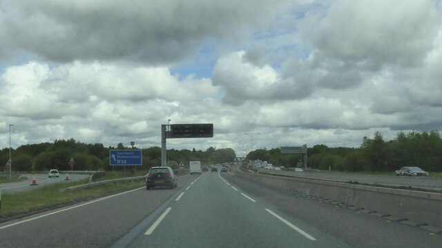
Pemberton is well-connected to surrounding areas, with convenient transportation links. The town benefits from its proximity to the M6 motorway, providing easy access to major cities such as Manchester and Liverpool. Additionally, Pemberton railway station allows for efficient travel within the region.
In terms of amenities, Pemberton offers a range of shops, including both independent retailers and national chains, ensuring residents have access to a variety of goods and services. There are also several schools, healthcare facilities, and recreational spaces within the town, catering to the needs of its residents.
Pemberton is known for its sense of community, with various local events and activities organized throughout the year. The town is also home to several sports clubs, providing opportunities for residents to engage in recreational activities.
Overall, Pemberton offers a pleasant living environment with a blend of historical heritage and modern amenities, making it an attractive place to reside within the Lancashire region.
If you have any feedback on the listing, please let us know in the comments section below.
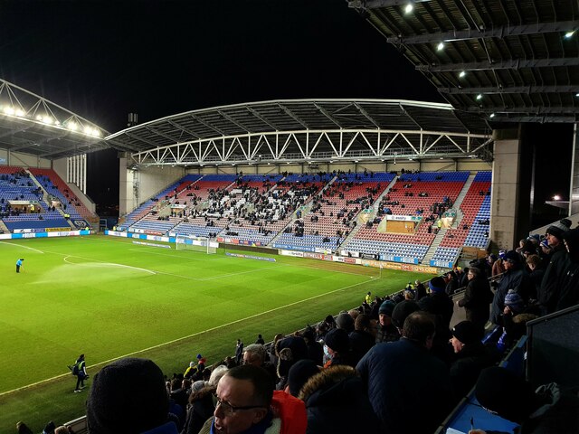
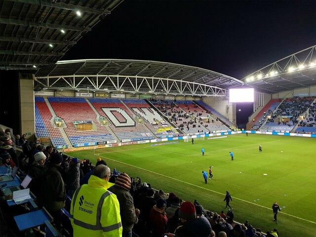
Pemberton Images
Images are sourced within 2km of 53.53346/-2.671357 or Grid Reference SD5504. Thanks to Geograph Open Source API. All images are credited.


Pemberton is located at Grid Ref: SD5504 (Lat: 53.53346, Lng: -2.671357)
Unitary Authority: Wigan
Police Authority: Greater Manchester
What 3 Words
///internet.pegs.serious. Near Wigan, Manchester
Nearby Locations
Related Wikis
Pemberton, Greater Manchester
Pemberton is an area of Wigan, in Greater Manchester, England. It lies on the southwestern bank of the River Douglas, and east of the M6 motorway. The...
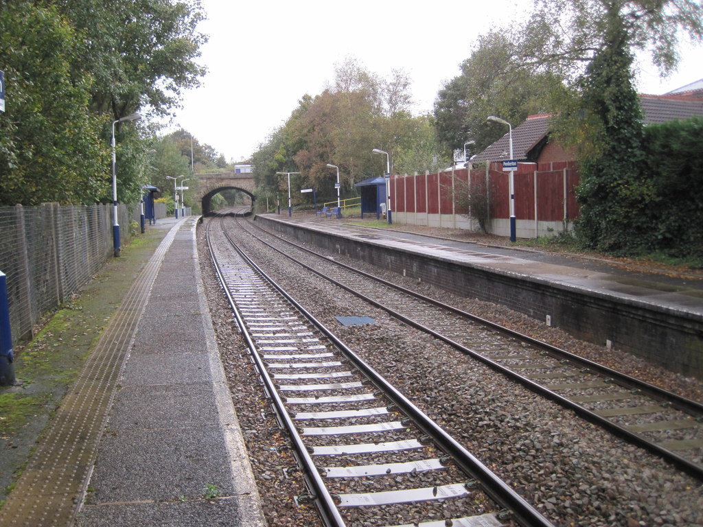
Pemberton railway station
Pemberton railway station serves the Pemberton area of Wigan in Greater Manchester, England. It is on the Kirkby branch line from Wigan Wallgate. The station...

Pemberton Urban District
Pemberton Urban District was an urban district from 1894 to 1904, when it was added to the County Borough of Wigan. It included the township of Pemberton...
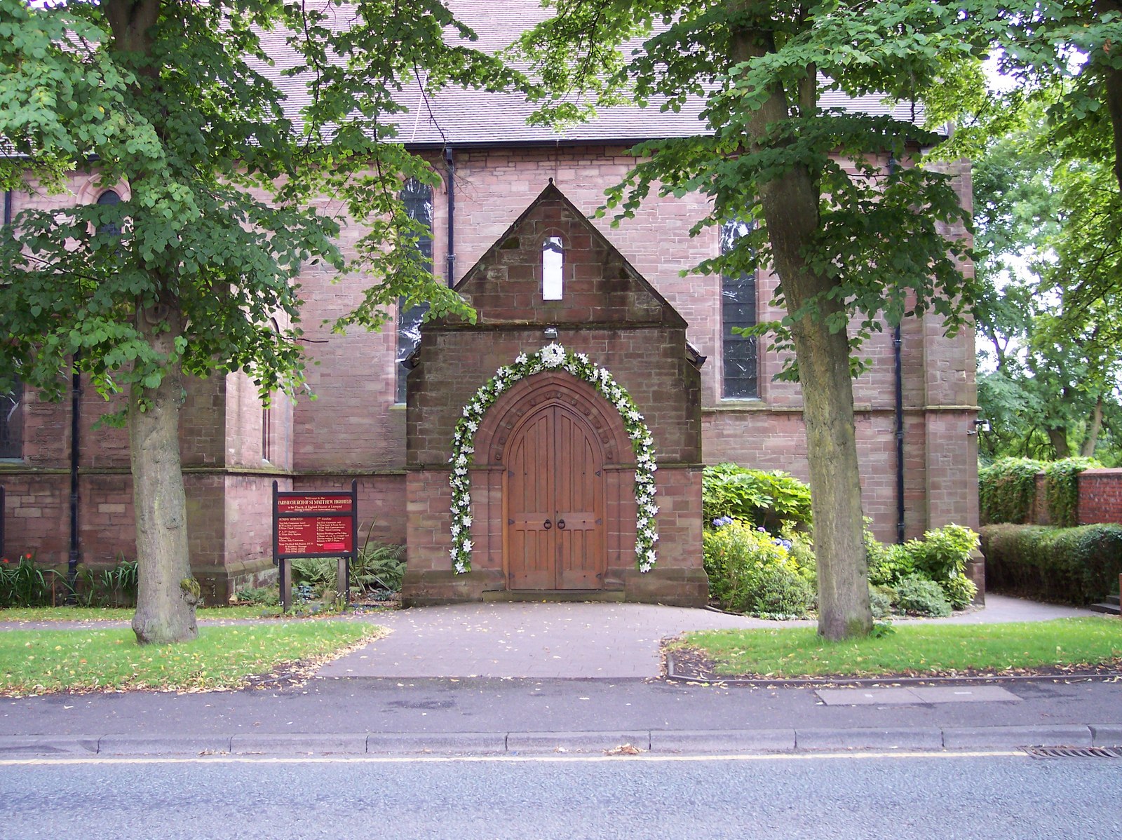
St Matthew's Church, Wigan
St Matthew's Church is in Billinge Road, Highfield, Pemberton, Wigan, Greater Manchester, England. It is an active Anglican parish church in the deanery...
Nearby Amenities
Located within 500m of 53.53346,-2.671357Have you been to Pemberton?
Leave your review of Pemberton below (or comments, questions and feedback).