Pembles Cross
Settlement in Kent Ashford
England
Pembles Cross

Pembles Cross is a small village located in the county of Kent, in southeastern England. Situated approximately 10 miles south of the city of Canterbury, Pembles Cross is known for its picturesque countryside and charming rural atmosphere. The village is surrounded by rolling hills, green fields, and dense woodlands, making it an ideal destination for nature enthusiasts and outdoor lovers.
The village itself is modest in size, with a population of around 500 residents. Pembles Cross features a traditional village center, characterized by quaint cottages and a few local businesses. The heart of the village is dominated by the historic St. Mary's Church, a beautiful medieval building that dates back to the 12th century. The church's stunning architecture and peaceful surroundings make it a popular attraction for visitors.
Pembles Cross is also renowned for its strong sense of community and friendly atmosphere. The villagers often organize local events and festivals, such as the annual summer fête and Christmas market, which bring residents and visitors together. The village also has a primary school, a village hall, and a small pub, serving as important gathering places for locals.
Surrounded by the scenic Kentish countryside, Pembles Cross offers ample opportunities for outdoor activities. The village is located near several walking and cycling trails, allowing visitors to explore the natural beauty of the area. Additionally, the nearby coast provides easy access to stunning beaches and coastal walks.
In summary, Pembles Cross is a charming village in Kent, offering a peaceful and idyllic retreat for those seeking a rural escape. With its picturesque landscapes, historic landmarks, and strong community spirit, Pembles Cross is a hidden gem in the heart of the English countryside.
If you have any feedback on the listing, please let us know in the comments section below.
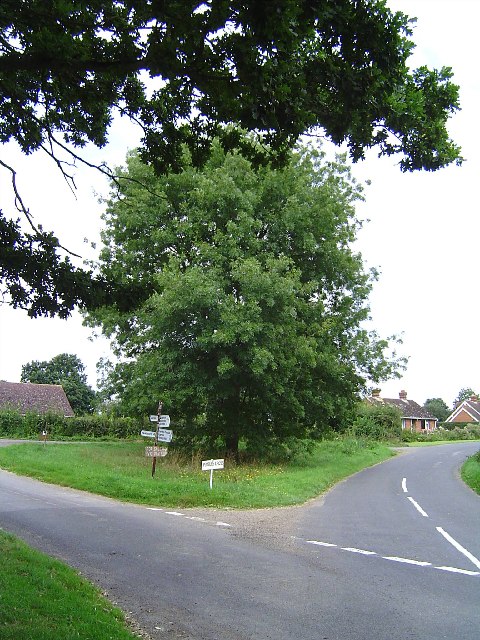
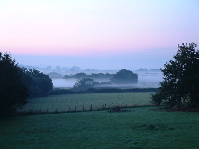
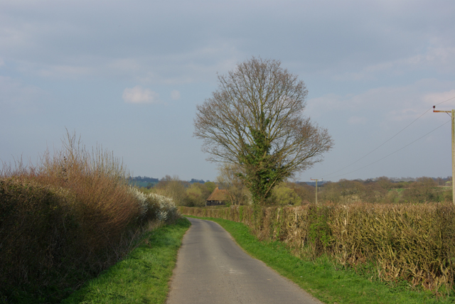
Pembles Cross Images
Images are sourced within 2km of 51.194354/0.703123 or Grid Reference TQ8847. Thanks to Geograph Open Source API. All images are credited.


Pembles Cross is located at Grid Ref: TQ8847 (Lat: 51.194354, Lng: 0.703123)
Administrative County: Kent
District: Ashford
Police Authority: Kent
What 3 Words
///hopeless.education.storms. Near Lenham, Kent
Nearby Locations
Related Wikis

Rivers of Kent
Four major rivers drain the county of Kent, England. == River Medway == The catchment area of the Medway covers almost 25% of the county. The detailed...

Kent
Kent is a county in the South East England region, the closest county to continental Europe. It borders Essex across the entire estuary of the River Thames...

RAF Headcorn
Royal Air Force Headcorn or more commonly known as RAF Headcorn is a former Royal Air Force Advanced Landing Ground located 2 miles (3.2 km) northeast...
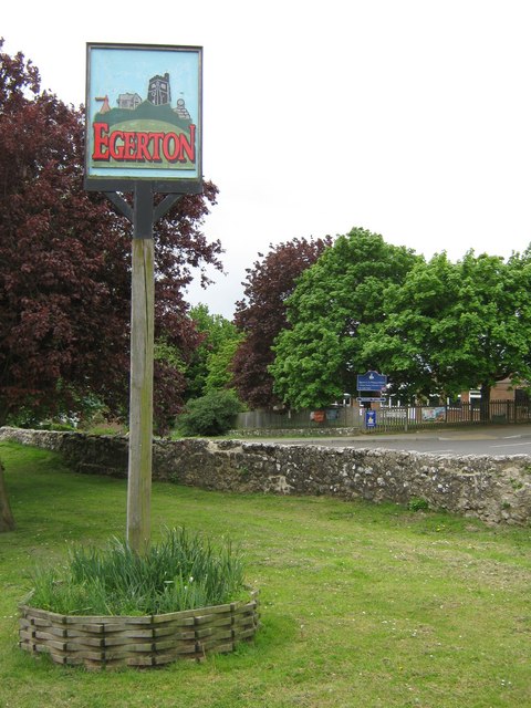
Egerton, Kent
Egerton is a village and civil parish in the Ashford District of Kent, England. The village is on the Greensand Ridge 9 miles (14.4 km) north of Ashford...

Volvo World Match Play Championship
The Volvo World Match Play Championship was an annual match play men's professional golf tournament which was staged from 1964 to 2014. The World Match...
2014 Volvo World Match Play Championship
The 2014 Volvo World Match Play Championship was the 49th Volvo World Match Play Championship to be played. It was held 15–19 October, with the champion...

List of local nature reserves in Kent
Kent is a county in the south-eastern corner of England. It is bounded to the north by Greater London and the Thames Estuary, to the west by Sussex and...
Boughton Malherbe
Boughton Malherbe ( BAW-tən MAL-ər-bee) is a village and civil parish in the Maidstone district of Kent, England, equidistant between Maidstone and Ashford...
Nearby Amenities
Located within 500m of 51.194354,0.703123Have you been to Pembles Cross?
Leave your review of Pembles Cross below (or comments, questions and feedback).