York, New
Settlement in Yorkshire
England
York, New
York is a historic city located in the county of North Yorkshire, England. Situated at the confluence of the rivers Ouse and Foss, it is known for its rich heritage, stunning architecture, and vibrant cultural scene. With a population of around 200,000, it is the largest settlement in the county.
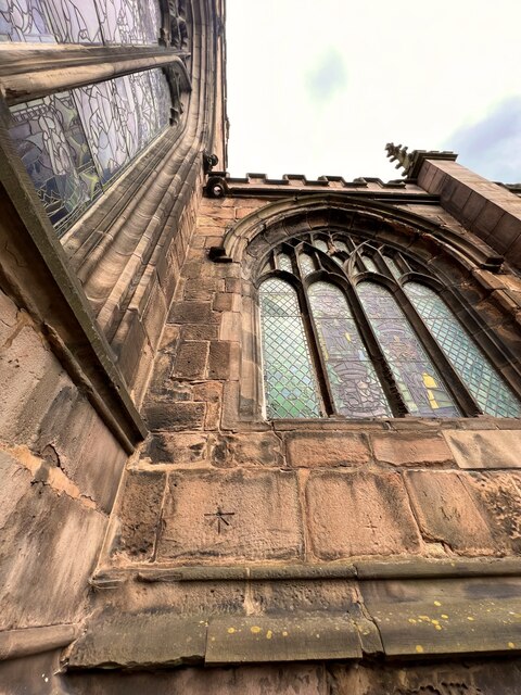
The city of York has a fascinating history that dates back to Roman times, when it served as a major military and trading hub. It later became an important Viking settlement, known as Jorvik, before eventually becoming a thriving medieval city. Today, remnants of its past can be seen in its well-preserved city walls, medieval timber-framed buildings, and the iconic York Minster, one of the largest cathedrals in Northern Europe.
Beyond its historical significance, York is a bustling city with a lively atmosphere. Its compact city center is a delight to explore, with narrow cobbled streets, charming boutiques, and a plethora of restaurants, cafes, and traditional pubs. The Shambles, a medieval street lined with timber-framed buildings, is particularly popular among visitors.
In addition to its architectural marvels, York boasts a vibrant cultural scene. The city is home to numerous museums, including the Jorvik Viking Centre and the National Railway Museum, which houses an impressive collection of locomotives. The annual York Festival of Ideas and the York Literature Festival attract intellectuals and writers from around the world.
With excellent transport links, including a direct train service to London, York is a popular destination for tourists and commuters alike. Its rich history, stunning architecture, and thriving cultural scene make it a must-visit city in Yorkshire.
If you have any feedback on the listing, please let us know in the comments section below.
York, New Images
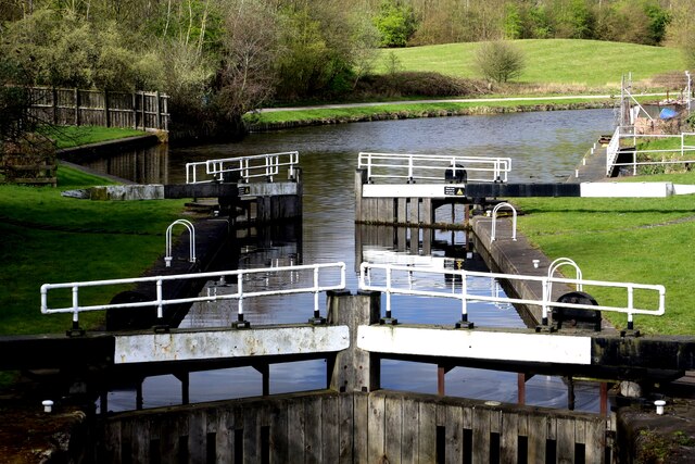
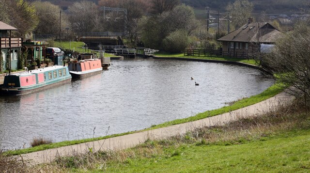
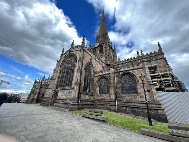
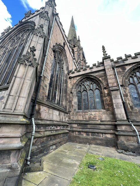
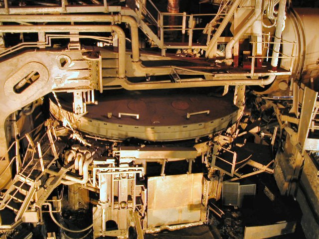
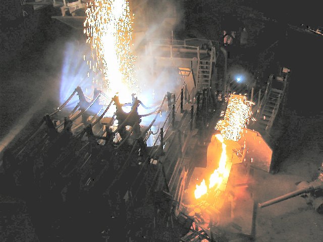
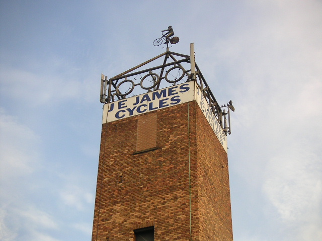
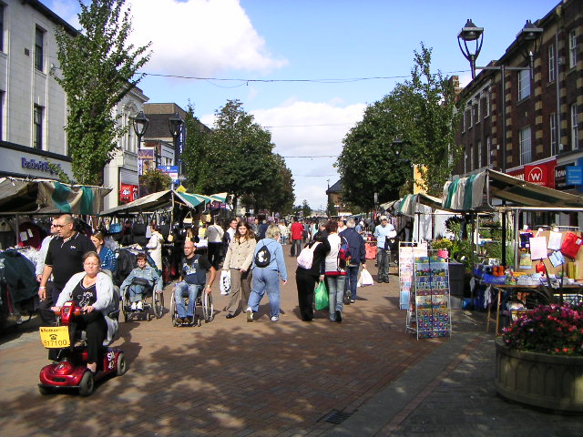
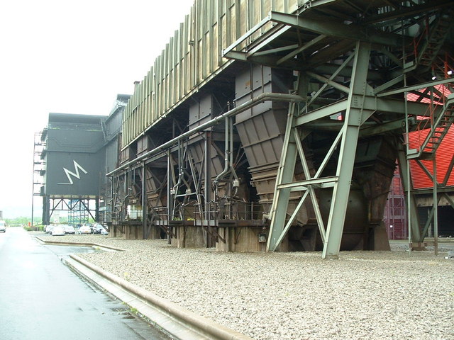
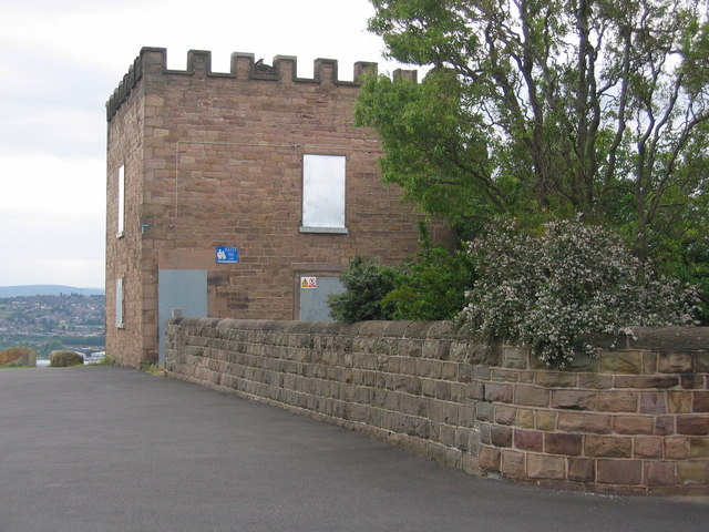
Images are sourced within 2km of 53.426679/-1.362618 or Grid Reference SK4292. Thanks to Geograph Open Source API. All images are credited.
York, New is located at Grid Ref: SK4292 (Lat: 53.426679, Lng: -1.362618)
Division: West Riding
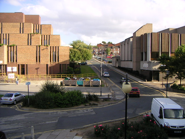
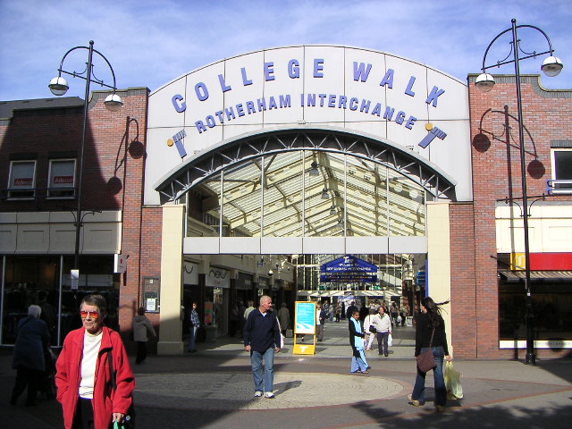
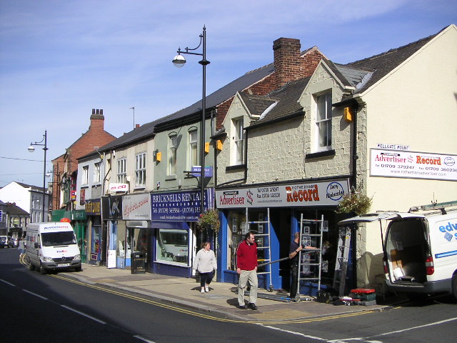
Unitary Authority: Rotherham
Police Authority: South Yorkshire
What 3 Words
///when.mixer.agent. Near Rotherham, South Yorkshire
Nearby Locations
Related Wikis

New York Stadium
The New York Stadium (known as the AESSEAL New York Stadium for sponsorship purposes) is a football stadium in Rotherham, South Yorkshire, England. Opened...

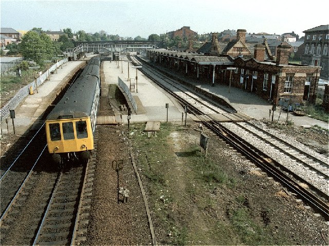
Rotherham Westgate railway station
Rotherham Westgate railway station was the eastern terminus of the five-mile-long Sheffield and Rotherham Railway, the first passenger-carrying railway...
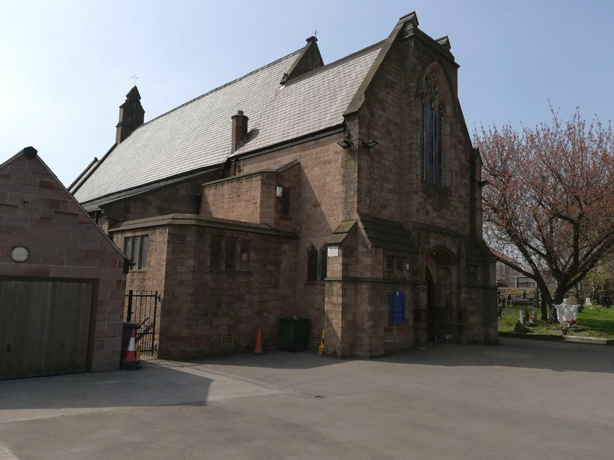
St Bede's Church, Rotherham
St Bede's Church is a Roman Catholic parish church in Rotherham, South Yorkshire, England. The Gothic Revival style church, designed by Weightman and Hadfield...

Masbrough Independent Chapel
The Masbrough Independent Chapel (also known as Masbro Independent Chapel, Masbrough Chapel and Masbro Chapel) was an Independent or Congregationalist...
Nearby Amenities
Located within 500m of 53.426679,-1.362618Have you been to York, New?
Leave your review of York, New below (or comments, questions and feedback).