Brown's Cut
Lake, Pool, Pond, Freshwater Marsh in Yorkshire
England
Brown's Cut
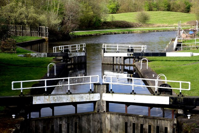
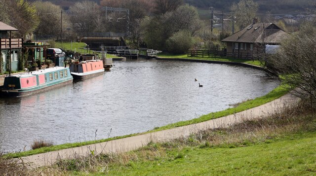
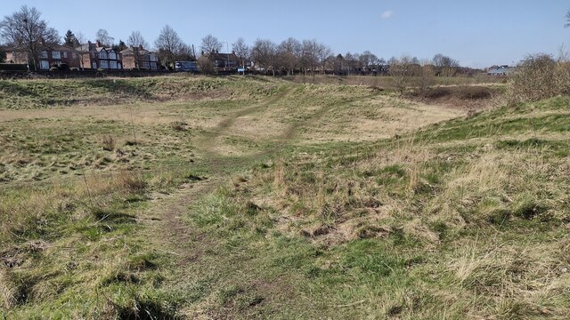
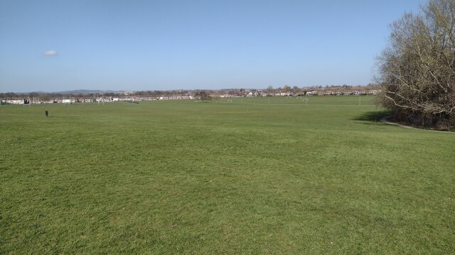
Brown's Cut is a picturesque freshwater marsh located in Yorkshire, England. It is a small but significant body of water, encompassing a lake, pool, pond, and marsh area. This natural habitat is nestled amidst the stunning Yorkshire countryside, offering visitors a tranquil and scenic environment to explore.
The central feature of Brown's Cut is the lake, which stretches across a modest area. Its calm and crystal-clear waters serve as a sanctuary for various aquatic species, such as fish and water birds. The lake is surrounded by lush vegetation, including reeds and water lilies, adding to the beauty and diversity of the ecosystem.
Adjacent to the lake, there is a pool that acts as a shallow extension, providing a habitat for smaller aquatic organisms like insects and amphibians. This pool is particularly popular among bird enthusiasts who can observe a wide range of species attracted to the abundant food sources in the area.
A pond is also present, featuring a more secluded and quiet atmosphere. It serves as a breeding ground for amphibians, including frogs and newts, which can be spotted during certain times of the year.
The freshwater marsh encompasses the outer edges of these water bodies, characterized by its wet and marshy terrain. The marsh supports a variety of plant life, including sedges and rushes, which thrive in the wet conditions. This vegetation provides a habitat for numerous bird species and serves as a nesting ground for waterfowl.
Overall, Brown's Cut is a serene and biologically diverse area, offering a glimpse into the natural wonders of Yorkshire's freshwater ecosystems. It is a haven for both wildlife and nature enthusiasts, providing a peaceful retreat from the bustling city life.
If you have any feedback on the listing, please let us know in the comments section below.
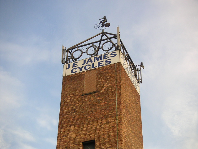
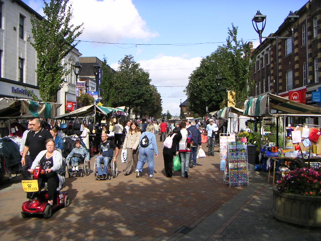
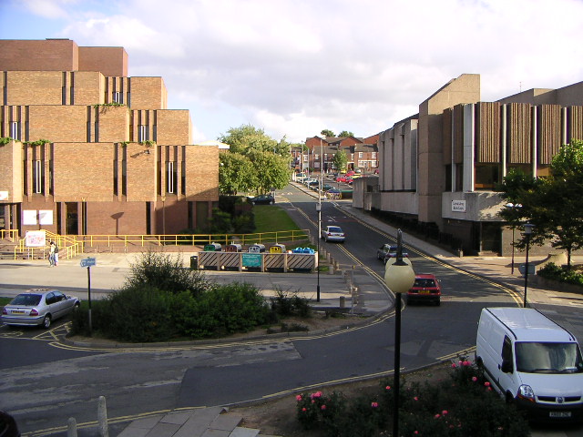
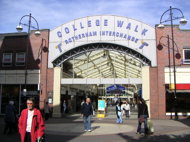
Brown's Cut Images
Images are sourced within 2km of 53.429703/-1.3594945 or Grid Reference SK4292. Thanks to Geograph Open Source API. All images are credited.


Brown's Cut is located at Grid Ref: SK4292 (Lat: 53.429703, Lng: -1.3594945)
Division: West Riding
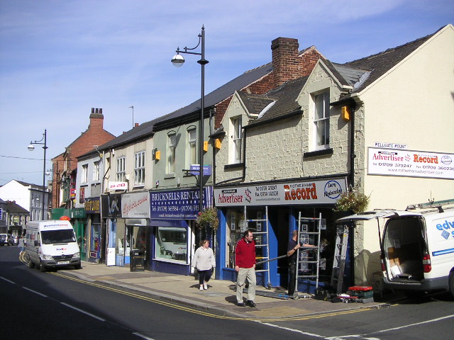
Unitary Authority: Rotherham
Police Authority: South Yorkshire
What 3 Words
///badge.noting.rings. Near Rotherham, South Yorkshire
Nearby Locations
Related Wikis

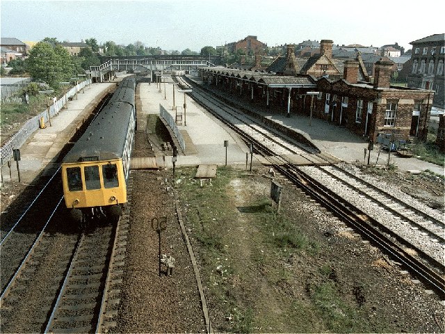
Rotherham Westgate railway station
Rotherham Westgate railway station was the eastern terminus of the five-mile-long Sheffield and Rotherham Railway, the first passenger-carrying railway...

Kiveton Park Rural District
Kiveton Park was a rural district in the West Riding of Yorkshire from 1894 to 1974. It was formed under the Local Government Act 1894 from that part of...

Rother Valley (UK Parliament constituency)
Rother Valley is a constituency represented in the House of Commons of the UK Parliament by Alexander Stafford, a member of the Conservative Party. �...

Rotherham child sexual exploitation scandal
The Rotherham child sexual exploitation scandal consists of the organised child sexual abuse that occurred in the town of Rotherham, South Yorkshire, Northern...
Related Videos

Rotherham on a Snowy Night #city #travel #rotherham #walkingtour
I short walk on a snowy January night around Rotherham center - pretty grim city in general but there is some magic too if you ...

A short tour of Rotherham, England, UK 🇬🇧
A short tour of Rotherham, England, UK. We take a trip to Rotherham and take in its sights and facilities. Rotherham is a large ...

ROTHERHAM | Full tour of Rotherham Town Centre in South Yorkshire, England (Filmed in 4K)
A 4K walking tour through Rotherham England to see what's happening in the town, what is there, what has gone and what has ...

Miss Trixie Holiday - Can't Take My Eyes off You @ Rotherham Show 2021
Also on Odysee: https://odysee.com/@steve30:3/miss_trixie_holiday_rotherham_show_2021:6 Miss Trixie Holiday sings 'Can't ...
Nearby Amenities
Located within 500m of 53.429703,-1.3594945Have you been to Brown's Cut?
Leave your review of Brown's Cut below (or comments, questions and feedback).