New York

Settlement in Yorkshire

England

New York

Iccles Locks View from the Iccles road bridge across the Sheffield and South Yorkshire Navigation canal.
Iccles Locks Credit: Ryk Rak

New York is a small town located in the Ryedale district of North Yorkshire, England. Situated approximately 20 miles northeast of York, it has a population of around 2,000 people. Despite its relatively small size, New York holds historical significance as it is believed to have been settled by Danish Vikings during the 9th century.

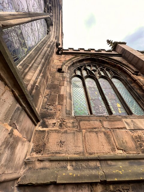
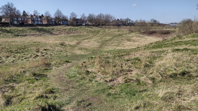
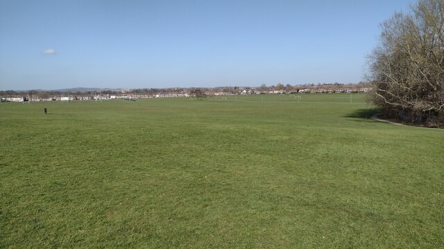
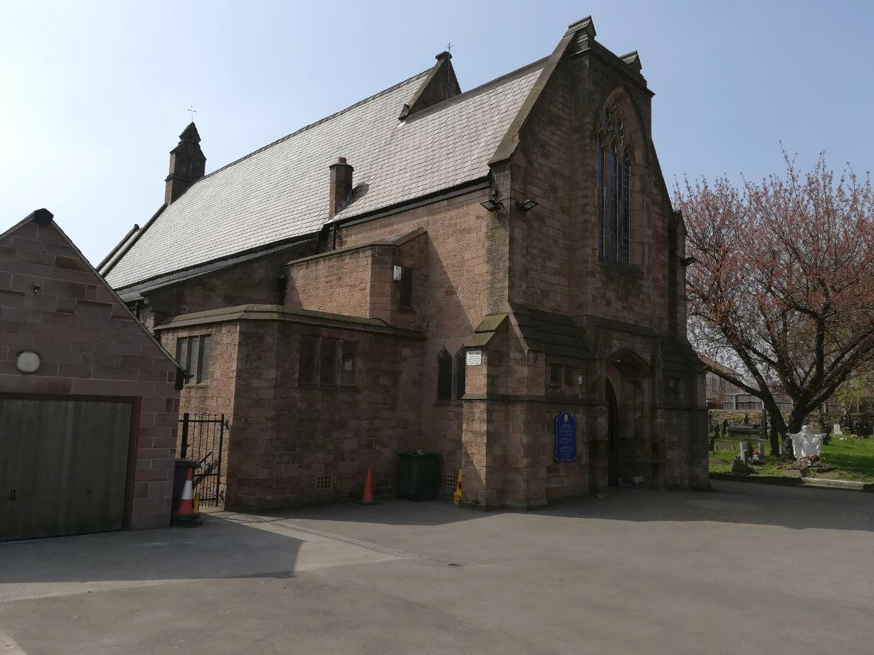
The town's most iconic landmark is New York Millennium Green, a public park that covers about 10 acres and offers residents and visitors a peaceful green space to relax and enjoy nature. Additionally, New York is home to St. Edward the Confessor Church, an Anglican parish church constructed in the 12th century. Its beautiful architecture and historical charm make it a popular attraction for history enthusiasts.

New York serves as a residential area for those seeking a quieter lifestyle away from the bustling city. The town has a range of amenities, including a primary school, local shops, and a few pubs. While it may not offer a wide variety of recreational activities, its proximity to the picturesque Yorkshire countryside allows residents to easily access the stunning landscapes and charming villages that the region is known for.

Transportation in New York primarily relies on road connections, with the A64 road passing nearby, providing convenient access to York and other major cities. Train services are also available in the nearby villages of Malton and York, offering connections to destinations across the country.

Overall, New York, Yorkshire is a quaint and peaceful town that appeals to those seeking a tranquil lifestyle surrounded by natural beauty and rich historical heritage.

If you have any feedback on the listing, please let us know in the comments section below.
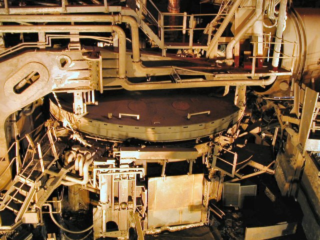
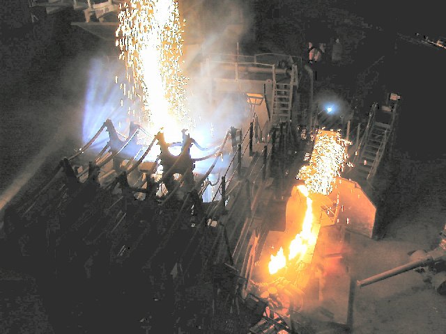
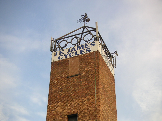
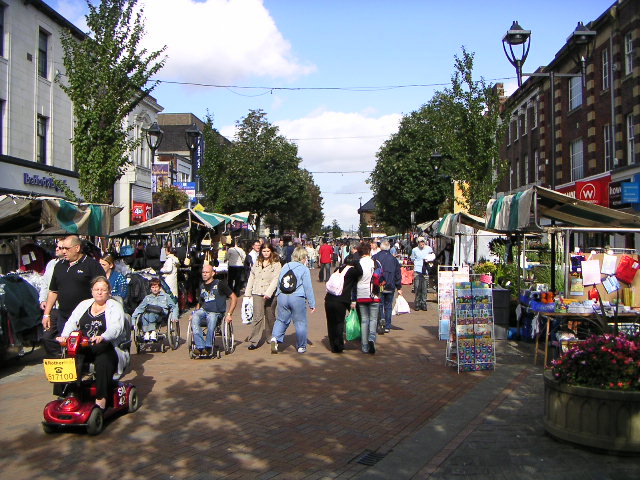
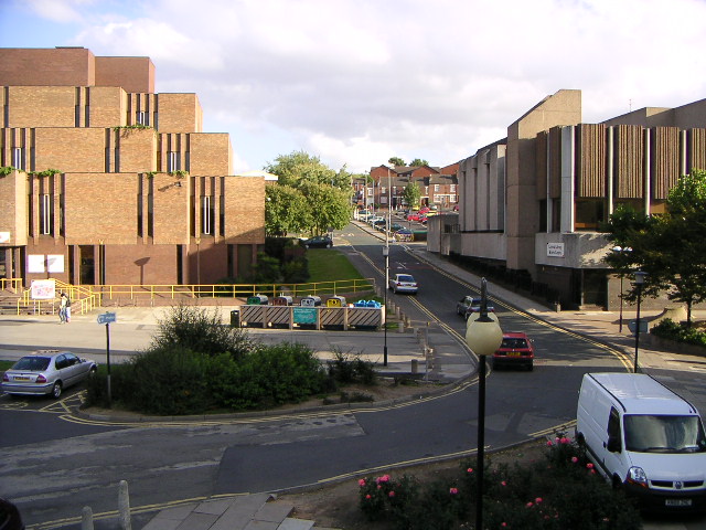
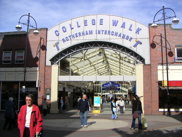
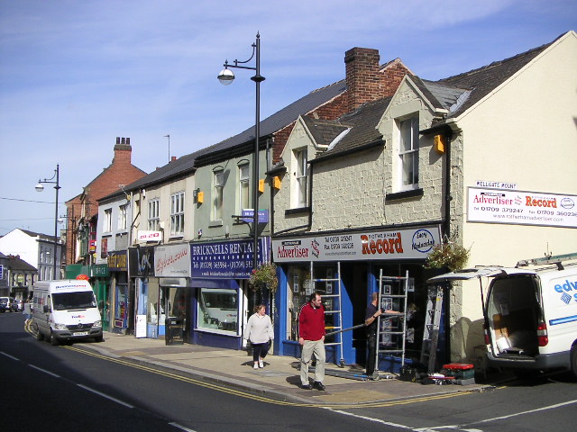
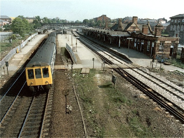
New York Images

Images are sourced within 2km of 53.426679/-1.362618 or Grid Reference SK4292. Thanks to Geograph Open Source API. All images are credited.

Iccles Locks View from the Iccles road bridge across the Sheffield and South Yorkshire Navigation canal.
Iccles Locks
View from the Iccles road bridge across the Sheffield and South Yorkshire Navigation canal.
Iccles canal basin Canal basin next to the Iccles locks (seen in the background)
Iccles canal basin
Canal basin next to the Iccles locks (seen in the background)
All Saints Church - (Rotherham Minster) - Church Street - Rotherham (a) All Saints Church (Rotherham Minster) in Rotherham
All Saints Church - (Rotherham Minster) - Church Street - Rotherham (a)
All Saints Church (Rotherham Minster) in Rotherham
PA Bolt - All Saints Church - (Rotherham Minster) - Rotherham (a) PA Bolt nestled in the corner on the South Face of the Minster.
PA Bolt - All Saints Church - (Rotherham Minster) - Rotherham (a)
PA Bolt nestled in the corner on the South Face of the Minster.
PA Bolt - All Saints Church - (Rotherham Minster) - Rotherham (b) PA Bolt nestled in the corner on the South Face of the Minster.
PA Bolt - All Saints Church - (Rotherham Minster) - Rotherham (b)
PA Bolt nestled in the corner on the South Face of the Minster.
PA Bolt - All Saints Church - (Rotherham Minster) - Rotherham (c) PA Bolt nestled in the corner on the South Face of the Minster. Lovely benchmark on a superb Church
PA Bolt - All Saints Church - (Rotherham Minster) - Rotherham (c)
PA Bolt nestled in the corner on the South Face of the Minster. Lovely benchmark on a superb Church
Paths on the edge of Herringthorpe Playing Field Paths on the edge of Herringthorpe Playing Field looking to houses on Broom Road
Paths on the edge of Herringthorpe Playing Field
Paths on the edge of Herringthorpe Playing Field looking to houses on Broom Road
Herringthorpe Playing Fields Herringthorpe Playing Fields looking to Badsley Moor Lane
Herringthorpe Playing Fields
Herringthorpe Playing Fields looking to Badsley Moor Lane
Electric Arc Furnace at Magna Once one of the largest steel plants to be found, now simply a museum.
Electric Arc Furnace at Magna
Once one of the largest steel plants to be found, now simply a museum.
"The Big Melt" at Magna This recreation of a working arc furnace is impressive, but nowhere near the real experience of what was once the Steel, Peach & Tozer plant, one of the largest to be found.
"The Big Melt" at Magna
This recreation of a working arc furnace is impressive, but nowhere near the real experience of what was once the Steel, Peach & Tozer plant, one of the largest to be found.
Cycling Weathervane This weathervane takes the form of a cyclist, which is very apt as it is on top of a cycle shop. The building is an ex-fire station, which explains the tower.
Cycling Weathervane
This weathervane takes the form of a cyclist, which is very apt as it is on top of a cycle shop. The building is an ex-fire station, which explains the tower.
Effingham Street, Rotherham Looking north down Effingham Street, Rotherham. The scene shows the street market which is held every Tuesday.
Effingham Street, Rotherham
Looking north down Effingham Street, Rotherham. The scene shows the street market which is held every Tuesday.
Norfolk Street, Rotherham View of Norfolk Street, looking south-east. The council offices of Norfolk House can be seen on the left, and Rotherham Central Library and Arts Centre is on the right.
Norfolk Street, Rotherham
View of Norfolk Street, looking south-east. The council offices of Norfolk House can be seen on the left, and Rotherham Central Library and Arts Centre is on the right.
Rotherham Interchange Rotherham Interchange, viewed from the junction of Frederick Street and Howard Street.
Rotherham Interchange
Rotherham Interchange, viewed from the junction of Frederick Street and Howard Street.
Wellgate, Rotherham Wellgate, looking north-west towards Rotherham town centre.
Wellgate, Rotherham
Wellgate, looking north-west towards Rotherham town centre.
Railway Station (former), Rotherham Masborough The former Rotherham Masborough Station. The photograph was taken on the last day of operation. Units 53012/54003/53646 & 53601 are heading for Sheffield.
An excellent shot by Ben Brooksbank that was taken on 23 August 1963 - <a title="https://www.geograph.org.uk/photo/2058915" href="https://www.geograph.org.uk/photo/2058915">Link</a>
Railway Station (former), Rotherham Masborough
The former Rotherham Masborough Station. The photograph was taken on the last day of operation. Units 53012/54003/53646 & 53601 are heading for Sheffield. An excellent shot by Ben Brooksbank that was taken on 23 August 1963 - Link
Magna Science Adventure Centre a fine place to go on a wet Sunday
Magna Science Adventure Centre
a fine place to go on a wet Sunday
Boston Castle - Rotherham The castle, built in 1775, was a hunting lodge owned by the Earl of Effingham. The Earl marked his objection to the harsh British treatment of the American colonies, by naming the lodge Boston Castle (after Boston, Massachusetts, the scene of the Boston Tea Party of 1775). He also banned tea drinking at the castle! The building has suffered badly from vandalism and is currently derelict. It stands on a hillside with fine views over the valley of the Rivers Don and Rother.
Boston Castle - Rotherham
The castle, built in 1775, was a hunting lodge owned by the Earl of Effingham. The Earl marked his objection to the harsh British treatment of the American colonies, by naming the lodge Boston Castle (after Boston, Massachusetts, the scene of the Boston Tea Party of 1775). He also banned tea drinking at the castle! The building has suffered badly from vandalism and is currently derelict. It stands on a hillside with fine views over the valley of the Rivers Don and Rother.
Show me another place!

New York is located at Grid Ref: SK4292 (Lat: 53.426679, Lng: -1.362618)

Division: West Riding

Unitary Authority: Rotherham

Police Authority: South Yorkshire

What 3 Words

///when.mixer.agent. Near Rotherham, South Yorkshire

Related Wikis

New York Stadium

The New York Stadium (known as the AESSEAL New York Stadium for sponsorship purposes) is a football stadium in Rotherham, South Yorkshire, England. Opened...

Rotherham Westgate railway station

Rotherham Westgate railway station was the eastern terminus of the five-mile-long Sheffield and Rotherham Railway, the first passenger-carrying railway...

St Bede's Church, Rotherham

St Bede's Church is a Roman Catholic parish church in Rotherham, South Yorkshire, England. The Gothic Revival style church, designed by Weightman and Hadfield...

Masbrough Independent Chapel

The Masbrough Independent Chapel (also known as Masbro Independent Chapel, Masbrough Chapel and Masbro Chapel) was an Independent or Congregationalist...

Nearby Amenities

Located within 500m of 53.426679,-1.362618
Waterway: lock_gate
Lat/Long: 53.4305896/-1.3605089
Waterway: lock_gate
Lat/Long: 53.4307809/-1.3606676
Brinsworth Street Level Crossing
Crossing Barrier: full
Railway: level_crossing
Lat/Long: 53.4256898/-1.3684131
Rotherham Central Junction
Railway: junction
Lat/Long: 53.4285231/-1.3629527
Seamark Type: gate
Waterway: lock_gate
Lat/Long: 53.4255216/-1.3693134
Seamark Type: gate
Waterway: lock_gate
Lat/Long: 53.4254901/-1.3689422
Crossing
Crossing: traffic_signals
Crossing Ref: pelican
Lat/Long: 53.4294017/-1.3575988
Crossing
Lat/Long: 53.4295549/-1.3669581
Turning Circle
Lat/Long: 53.4239068/-1.3571494
Masbrough Street/John Street
Bus: yes
Public Transport: stop_position
Lat/Long: 53.4294606/-1.3674302
Bus Stop
Canklow Road/Mill Street
Bus: yes
Naptan AtcoCode: 370030869
Naptan Bearing: N
Naptan CommonName: Canklow Road/Mill Street
Naptan Indicator: 30869
Naptan Landmark: RENAULT GARAGE
Naptan PlusbusZoneRef: ROTHCEN
Naptan Street: Canklow Road
Naptan Verified: no
Public Transport: platform
Source: naptan_import
Lat/Long: 53.4238182/-1.3592485
Bus Stop
Canklow Road/Mill Street
Bus: yes
Naptan AtcoCode: 370030870
Naptan Bearing: S
Naptan CommonName: Canklow Road/Mill Street
Naptan Indicator: 30870
Naptan Landmark: RENAULT GARAGE
Naptan PlusbusZoneRef: ROTHCEN
Naptan Street: Canklow Road
Naptan Verified: no
Public Transport: platform
Source: naptan_import
Lat/Long: 53.423513/-1.3591019
Bus Stop
Masbrough Street/Station Road
Bus: yes
Naptan AtcoCode: 370030871
Naptan Bearing: E
Naptan CommonName: Masbrough Street/Station Road
Naptan Indicator: 30871
Naptan Landmark: Elf Garage
Naptan PlusbusZoneRef: ROTHCEN
Naptan Street: Masbrough Street
Naptan Verified: no
Public Transport: platform
Source: naptan_import
Lat/Long: 53.4296751/-1.366748
Bus Stop
Masbrough Street/John Street
Alt Name: Masbrough Street/John Street
Bus: yes
Naptan AltCommonName: Masbrough Street/John Street
Naptan AtcoCode: 370030872
Naptan Bearing: W
Naptan CommonName: Masbrough Street/John Street
Naptan Indicator: 30872
Naptan Landmark: ELF GARAGE
Naptan PlusbusZoneRef: ROTHCEN
Naptan Street: Masbrough Street
Naptan Verified: no
Public Transport: platform
Source: naptan_import
Lat/Long: 53.4294114/-1.3674068
Bus Stop
Westgate/Main Street
Alt Name: Westgate/Main Street
Bus: yes
Naptan AltCommonName: Westgate/Main Street
Naptan AtcoCode: 370030493
Naptan Bearing: N
Naptan CommonName: Westgate/Main Street
Naptan Indicator: 30493
Naptan Landmark: T.M. BENNETTS
Naptan PlusbusZoneRef: ROTHCEN
Naptan Street: Westgate
Naptan Verified: no
Public Transport: platform
Source: naptan_import
Lat/Long: 53.428446/-1.3577232
Bus Stop
Westgate/Unity Place
Alt Name: Westgate/Unity Place
Bus: yes
Naptan AltCommonName: Westgate/Unity Place
Naptan AtcoCode: 370030494
Naptan Bearing: S
Naptan CommonName: Westgate/Unity Place
Naptan Indicator: 30494
Naptan Landmark: ROYAL MAIL
Naptan PlusbusZoneRef: ROTHCEN
Naptan Street: Westgate
Naptan Verified: no
Public Transport: platform
Source: naptan_import
Lat/Long: 53.4289817/-1.3573739
Bus Stop
Moorgate Street/Ship Hill
Alt Name: Moorgate Street/Ship Hill
Bus: yes
Naptan AltCommonName: Moorgate Street/Ship Hill
Naptan AtcoCode: 370030495
Naptan Bearing: N
Naptan CommonName: Moorgate Street/Ship Hill
Naptan Indicator: 30495
Naptan Landmark: Rotherham Town Hall
Naptan PlusbusZoneRef: ROTHCEN
Naptan Street: Moorgate Street
Naptan Verified: no
Public Transport: platform
Source: naptan_import
Lat/Long: 53.4287595/-1.3561732
Bus Stop
Canklow Road/Alma Road
Bus: yes
Naptan AtcoCode: 370030496
Naptan Bearing: S
Naptan CommonName: Canklow Road/Alma Road
Naptan Indicator: 30496
Naptan Landmark: TOYOTA CARFOUR
Naptan PlusbusZoneRef: ROTHCEN
Naptan Street: Canklow Road
Naptan Verified: no
Public Transport: platform
Source: naptan_import
Lat/Long: 53.425561/-1.3585996
Bus Stop
Sheffield Road/Old Sheffield Road
Bus: yes
Naptan AtcoCode: 370030500
Naptan Bearing: SW
Naptan CommonName: Sheffield Road/Old Sheffield Road
Naptan Indicator: 30500
Naptan Landmark: TRAFFIC LIGHTS
Naptan PlusbusZoneRef: ROTHCEN
Naptan Street: Sheffield Road
Naptan Verified: no
Public Transport: platform
Source: naptan_import
Lat/Long: 53.425428/-1.3610693
Bus Stop
Sheffield Road/Westgate
Alt Name: Sheffield Road/Westgate
Bus: yes
Naptan AltCommonName: Sheffield Road/Westgate
Naptan AtcoCode: 370030502
Naptan Bearing: SW
Naptan CommonName: Sheffield Road/Westgate
Naptan Indicator: 30502
Naptan Landmark: SWIMMING BATHS
Naptan PlusbusZoneRef: ROTHCEN
Naptan Street: Sheffield Road
Naptan Verified: no
Public Transport: platform
Source: naptan_import
Lat/Long: 53.4262789/-1.3591144
Bus Stop
Sheffield Road/Westgate
Alt Name: Sheffield Road/Westgate
Bus: yes
Naptan AltCommonName: Sheffield Road/Westgate
Naptan AtcoCode: 370030503
Naptan Bearing: NE
Naptan CommonName: Sheffield Road/Westgate
Naptan Indicator: 30503
Naptan Landmark: SWIMMING BATHS
Naptan PlusbusZoneRef: ROTHCEN
Naptan Street: Sheffield Road
Naptan Verified: no
Public Transport: platform
Source: naptan_import
Lat/Long: 53.4265762/-1.3589364
Bus Stop
Canklow Road/Sheffield Road
Bus: yes
Naptan AtcoCode: 370035901
Naptan Bearing: N
Naptan CommonName: Canklow Road/Sheffield Road
Naptan Indicator: 35901
Naptan Landmark: 35901
Naptan PlusbusZoneRef: ROTHCEN
Naptan Street: Canklow Road
Naptan Verified: no
Public Transport: platform
Source: naptan_import
Lat/Long: 53.4257503/-1.3586886
Post Box
Collection Times: Mo-Fr 18:30; Sa 10:30
Post Box Type: pillar
Ref: S60 23
Royal Cypher: EIIR
Royal Cypher Wikidata: Q33102113
Lat/Long: 53.4226813/-1.3660566
Turning Circle
Lat/Long: 53.4240196/-1.3580655
Barrier: lift_gate
Source: Bing;survey
Lat/Long: 53.4299548/-1.3603759
Moorgate Street/Ship Hill
Bus: yes
Public Transport: stop_position
Lat/Long: 53.4287823/-1.356063
Rotherham Central
Network: Supertram
Operator: Stagecoach
Public Transport: stop_position
Railway: tram_stop
Tram: yes
Lat/Long: 53.4310271/-1.3615429
Man Made: tower
Lat/Long: 53.4255996/-1.3680286
Railway: switch
Lat/Long: 53.4290507/-1.3626243
Railway: switch
Lat/Long: 53.4283939/-1.3630595
Railway: switch
Lat/Long: 53.4286058/-1.362931
Barrier: lift_gate
Source: Bing;survey
Lat/Long: 53.4302376/-1.3637322
Turning Circle
Lat/Long: 53.4247171/-1.3578334
Man Made: tower
Source: Bing
Lat/Long: 53.4277616/-1.3696671
Recycling
Lat/Long: 53.4302735/-1.3595482
Barrier: lift_gate
Lat/Long: 53.4297578/-1.3602514
Cafe
Cafe @ Riverside
Lat/Long: 53.4288899/-1.3602919
Railway: level_crossing
Lat/Long: 53.4276004/-1.369145
Turning Circle
Lat/Long: 53.4247922/-1.3565432
Turning Circle
Lat/Long: 53.4266764/-1.3573195
Entrance: yes
Lat/Long: 53.4292098/-1.3579442
Post Box
Collection Times: Mo-Fr 18:30; Sa 12:15
Post Box Type: meter
Ref: S60 288P
Royal Cypher: no
Lat/Long: 53.4292165/-1.3580181
Crossing
Crossing: zebra
Lat/Long: 53.4294184/-1.3589865
Post Box
Collection Times: Mo-Fr 19:30; Sa 11:30
Post Box Design: type_g
Post Box Type: pillar
Ref: S60 2779
Royal Cypher: EIIR
Royal Cypher Wikidata: Q33102113
Lat/Long: 53.4292164/-1.357987
Post Box
Collection Times: Mo-Fr 19:30; Sa 11:30
Post Box Type: pillar
Ref: S60 277
Royal Cypher: EIIR
Royal Cypher Wikidata: Q33102113
Lat/Long: 53.4292156/-1.358046
Crossing
Lat/Long: 53.4276333/-1.3579447
Traffic Signals
Traffic Signals: signal
Traffic Signals Direction: forward
Lat/Long: 53.4295431/-1.3654306
Traffic Signals
Traffic Signals: signal
Traffic Signals Direction: forward
Lat/Long: 53.4298095/-1.3649626
Traffic Signals
Traffic Signals: signal
Traffic Signals Direction: forward
Lat/Long: 53.4295264/-1.3656997
Traffic Signals
Traffic Signals: signal
Traffic Signals Direction: forward
Lat/Long: 53.4296285/-1.36487
Traffic Signals
Traffic Signals: signal
Traffic Signals Direction: forward
Lat/Long: 53.4297712/-1.3656593
Traffic Signals
Traffic Signals: signal
Traffic Signals Direction: forward
Lat/Long: 53.4297917/-1.3647092
Traffic Signals
Traffic Signals: signal
Traffic Signals Direction: forward
Lat/Long: 53.4297094/-1.3654993
Traffic Signals
Traffic Signals: signal
Traffic Signals Direction: forward
Lat/Long: 53.4278975/-1.3653561
Traffic Signals
Traffic Signals: signal
Traffic Signals Direction: forward
Lat/Long: 53.4278309/-1.3654989
Traffic Signals
Traffic Signals: signal
Traffic Signals Direction: forward
Lat/Long: 53.4309639/-1.3649201
Post Box
Collection Times: Mo-Fr 09:00; Sa 07:00
Post Box Type: pillar
Ref: S60 24
Royal Cypher: GVIR
Royal Cypher Wikidata: Q33102169
Lat/Long: 53.4240268/-1.3589907
Defibrillator
Access: yes
Check Date: 2023-03-09
Defibrillator Location: On outside wall. Available 24/7.
Emergency: defibrillator
Indoor: no
Opening Hours: 24/7
Ref GB The Circuit: 0D403F69-9DE7-438B-A2D7-B10E00FEF7D1
Lat/Long: 53.4277122/-1.3627445
Post Box
Collection Times: Mo-Fr 09:00; Sa 07:00
Post Box Type: pillar
Ref: S60 259
Royal Cypher: EIIR
Royal Cypher Wikidata: Q33102113
Lat/Long: 53.4292758/-1.3680448
Rotherham Central
Public Transport: stop_position
Railway: tram_stop
Tram: yes
Lat/Long: 53.4310198/-1.3615052
Masbrough Street/Station Road
Bus: yes
Public Transport: stop_position
Lat/Long: 53.4295922/-1.3667296
Bus Stop
Main Street/The Statutes
Bus: yes
Naptan AtcoCode: 370035956
Naptan NaptanCode: 37035956
Public Transport: platform
Lat/Long: 53.429529/-1.3610522
Bus Stop
Main Street/New York Way
Bus: yes
Naptan AtcoCode: 370036037
Naptan NaptanCode: 37036037
Public Transport: platform
Lat/Long: 53.4294499/-1.3616718
Main Street/The Statutes
Bus: yes
Public Transport: stop_position
Lat/Long: 53.4294717/-1.3610602
Main Street/New York Way
Bus: yes
Public Transport: stop_position
Lat/Long: 53.4294974/-1.3616724
Sheffield Road/Old Sheffield Road
Bus: yes
Public Transport: stop_position
Lat/Long: 53.4254645/-1.3611039
Sheffield Road/Westgate
Bus: yes
Public Transport: stop_position
Lat/Long: 53.4264944/-1.3588544
Sheffield Road/Westgate
Bus: yes
Public Transport: stop_position
Lat/Long: 53.426335/-1.359173
Westgate/Main Street
Bus: yes
Public Transport: stop_position
Lat/Long: 53.4284399/-1.3576507
Westgate/Unity Place
Bus: yes
Public Transport: stop_position
Lat/Long: 53.4289985/-1.3574471
Canklow Road/Mill Street
Bus: yes
Public Transport: stop_position
Lat/Long: 53.423527/-1.3591961
Canklow Road/Mill Street
Bus: yes
Public Transport: stop_position
Lat/Long: 53.4238135/-1.3591318
Canklow Road/Alma Road
Bus: yes
Public Transport: stop_position
Lat/Long: 53.4255696/-1.3586891
Canklow Road/Sheffield Road
Bus: yes
Public Transport: stop_position
Lat/Long: 53.4257489/-1.3586158
Defibrillator
Access: yes
Check Date: 2023-03-09
Defibrillator Location: On outside wall. Available 24/7.
Emergency: defibrillator
Indoor: no
Opening Hours: 24/7
Lat/Long: 53.4295857/-1.3609067
Steel Henge
Tourism: artwork
Lat/Long: 53.4247385/-1.3686824
Bench
Lat/Long: 53.4248449/-1.3689041
Crossing
Lat/Long: 53.4249665/-1.3626495
Bicycle Parking
Access: yes
Bicycle Parking: stands
Capacity: 8
Covered: no
Fee: no
Lat/Long: 53.4291587/-1.3605442
Rotherham Westgate
Historic Railway: station
Railway: site
Wikidata: Q7370443
Wikipedia: en:Rotherham Westgate railway station
Lat/Long: 53.4291025/-1.3584034
Board Title: New York! New York!
Information: board
Tourism: information
Lat/Long: 53.4271193/-1.360869
Bench
Backrest: yes
Lat/Long: 53.4271593/-1.360821
Camera Mount: pole
Camera Type: dome
Man Made: surveillance
Surveillance: public
Surveillance Type: camera
Surveillance Zone: town
Lat/Long: 53.4243461/-1.3638908
Direction: 215
Man Made: surveillance
Surveillance: public
Surveillance Type: ALPR
Surveillance Zone: traffic
Lat/Long: 53.4238404/-1.3649752
Camera Mount: pole
Camera Type: dome
Man Made: surveillance
Surveillance: public
Surveillance Type: camera
Surveillance Zone: town
Lat/Long: 53.429816/-1.3651726
Post Box
Collection Times: Mo-Fr 09:00; Sa 07:00
Comment: non-standard box
Post Box Type: indoor
Ref: S60 326
Royal Cypher: no
Lat/Long: 53.4250385/-1.3572763
Restaurant
Neelagiree
Addr City: Rotherham
Addr Housenumber: 4
Addr Postcode: S60 1AN
Addr Street: Westgate
Cuisine: indian
Lat/Long: 53.4294448/-1.3571099
Fast Food
Chilliz
Cuisine: pizza;burger;kebab;chicken
Lat/Long: 53.4294927/-1.3570049
Entrance: yes
Lat/Long: 53.4264644/-1.3596186
The data included in this document is from www.openstreetmap.org. The data is made available under ODbL.

Have you been to New York?

Leave your review of New York below (or comments, questions and feedback).