New Cut
Lake, Pool, Pond, Freshwater Marsh in Yorkshire
England
New Cut
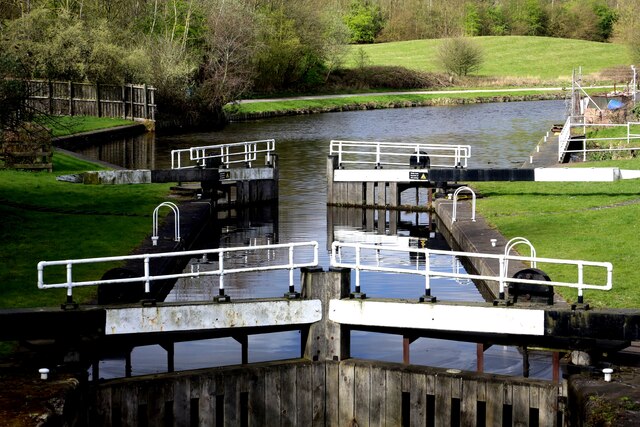
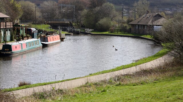
New Cut is a picturesque area located in Yorkshire, England, known for its stunning natural features. Situated amidst rolling hills and lush greenery, New Cut is primarily recognized for its lake, pool, pond, and freshwater marsh, making it a haven for nature enthusiasts and wildlife enthusiasts alike.
The centerpiece of New Cut is its expansive lake, which stretches across a significant portion of the area. The lake is a tranquil body of water, often reflecting the surrounding landscape and providing a peaceful ambiance for visitors. Its crystal-clear waters are home to various species of fish, creating an ideal spot for fishing enthusiasts to cast their lines and try their luck.
Adjacent to the lake, there is a charming pool that offers a more intimate setting. With its smaller size, the pool provides a cozy atmosphere and is often frequented by families and individuals seeking a serene spot to relax and enjoy the natural surroundings.
Furthermore, New Cut boasts a picturesque pond, which is a popular spot for birdwatchers. The pond attracts a diverse range of bird species throughout the year, including ducks, swans, herons, and many others. Birdwatchers can spend hours observing and capturing the beauty of these feathered creatures in their natural habitat.
Lastly, New Cut is blessed with a vibrant freshwater marsh, characterized by its lush vegetation and abundant wildlife. The marsh serves as a crucial ecosystem, supporting a variety of plant and animal life. Visitors can explore the marsh via designated paths and enjoy the sights and sounds of chirping birds, colorful wildflowers, and the occasional glimpse of a water vole or a rare amphibian species.
Overall, New Cut in Yorkshire offers a delightful mix of natural wonders, including its lake, pool, pond, and freshwater marsh, making it a must-visit destination for those seeking a peaceful and immersive experience in nature.
If you have any feedback on the listing, please let us know in the comments section below.
New Cut Images
Images are sourced within 2km of 53.425417/-1.3682723 or Grid Reference SK4292. Thanks to Geograph Open Source API. All images are credited.


New Cut is located at Grid Ref: SK4292 (Lat: 53.425417, Lng: -1.3682723)
Division: West Riding
Unitary Authority: Rotherham
Police Authority: South Yorkshire
What 3 Words
///buddy.storm.mugs. Near Rotherham, South Yorkshire
Nearby Locations
Related Wikis
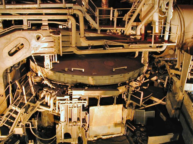
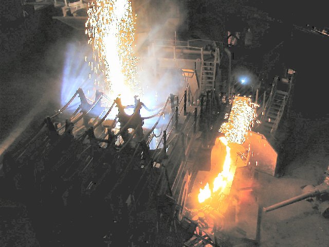
C F Booth
C F Booth Ltd is a family-owned scrap metal and recycling business based in Rotherham, South Yorkshire, England. == Operations == Clarence Frederick Booth...
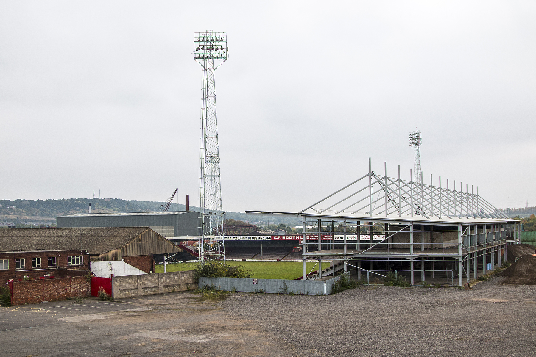
Millmoor
The Millmoor Ground, commonly known as Millmoor, is a football stadium in Rotherham, South Yorkshire, England. It was the home ground of Rotherham County...

Templeborough Power Station
Templeborough Power Station (also known as Templeborough biomass power plant) is a biomass power station situated in Templeborough on the River Don in...
St Bede's Church, Rotherham
St Bede's Church is a Roman Catholic parish church in Rotherham, South Yorkshire, England. The Gothic Revival style church, designed by Weightman and Hadfield...
Nearby Amenities
Located within 500m of 53.425417,-1.3682723Have you been to New Cut?
Leave your review of New Cut below (or comments, questions and feedback).