Holmes Tail Goit

Lake, Pool, Pond, Freshwater Marsh in Yorkshire

England

Holmes Tail Goit

All Saints Church - (Rotherham Minster) - Church Street - Rotherham (a) All Saints Church (Rotherham Minster) in Rotherham
All Saints Church - (Rotherham Minster) - Church Street - Rotherham (a) Credit: Tez Exley

Holmes Tail Goit is a picturesque water body located in the county of Yorkshire, England. It is a freshwater marsh that serves as a lake, pool, pond, and marsh all at once, making it a unique natural feature in the region. The Goit is situated in the village of Holmes, near the larger town of Huddersfield.

Covering an area of approximately 2 hectares, Holmes Tail Goit is surrounded by lush greenery and offers a serene and tranquil environment. The water body is fed by a small stream that meanders through the marsh, eventually flowing into the nearby River Calder.

The Goit's water is predominantly sourced from rainfall and nearby springs, resulting in clean and clear freshwater. The marshy landscape is home to a diverse range of flora and fauna, attracting various species of birds, insects, and aquatic life. Native vegetation such as reeds, rushes, and water lilies thrive in the marsh, creating a vibrant and visually appealing ecosystem.

The area around Holmes Tail Goit is a popular spot for nature enthusiasts and birdwatchers, who can observe a variety of species in their natural habitats. Visitors can enjoy leisurely walks along the water's edge, taking in the stunning views and listening to the soothing sounds of nature.

Overall, Holmes Tail Goit offers a tranquil escape from the bustling towns and cities, providing a haven for both wildlife and humans alike. Its unique combination of lake, pool, pond, and freshwater marsh characteristics make it an exceptional natural feature in the Yorkshire countryside.

If you have any feedback on the listing, please let us know in the comments section below.

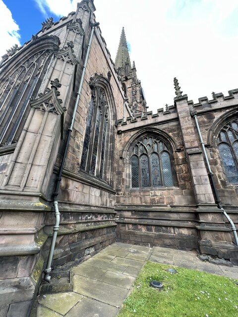
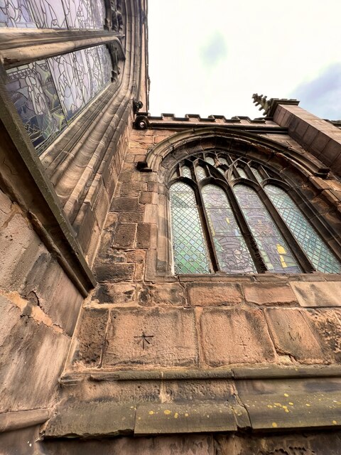
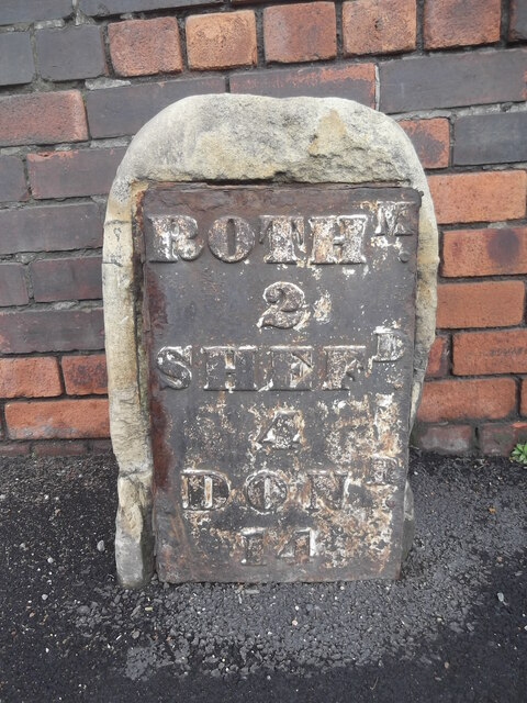
Holmes Tail Goit Images

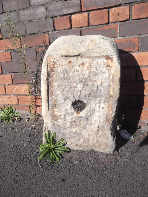
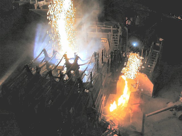
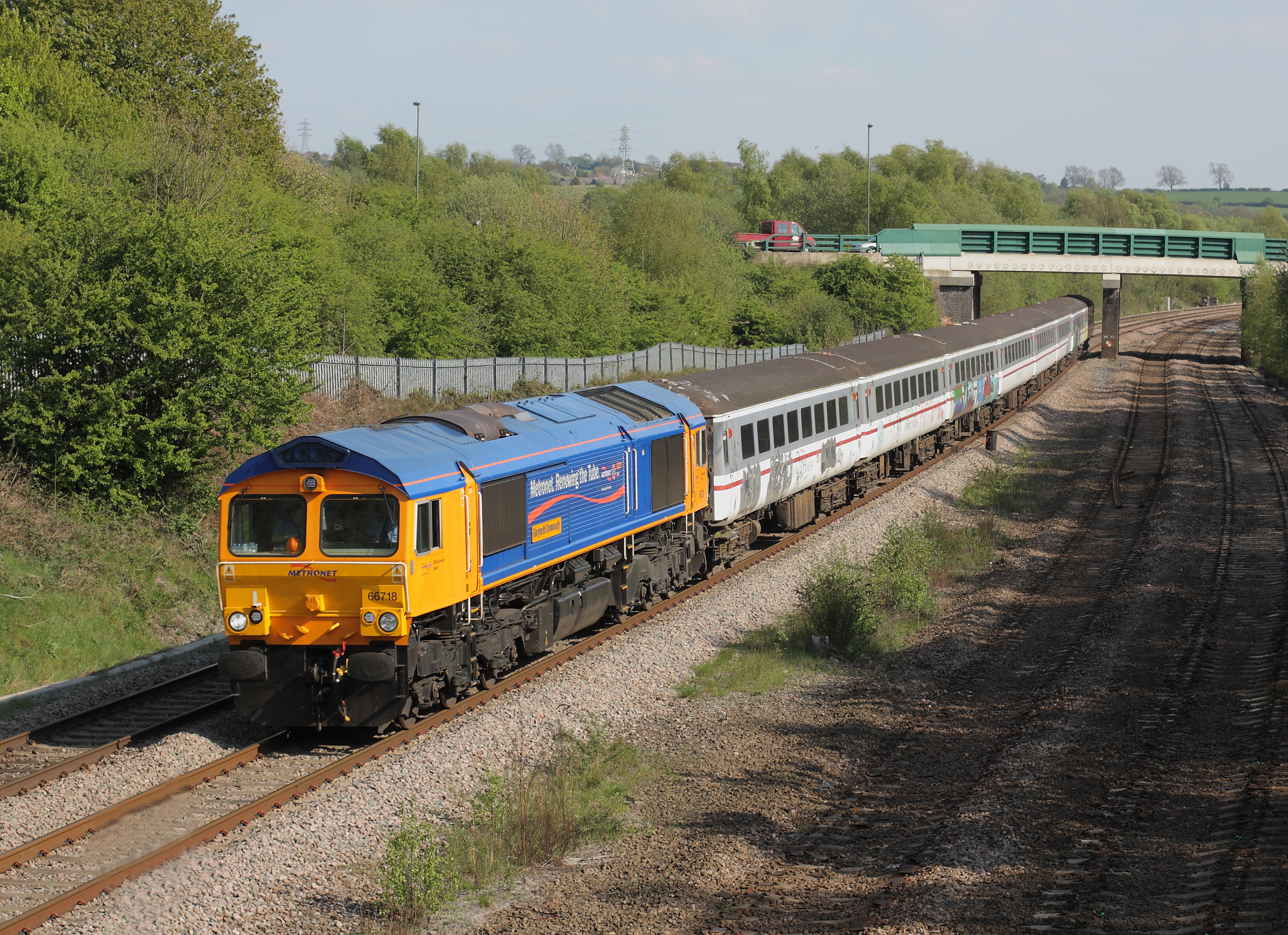
Images are sourced within 2km of 53.427708/-1.3680427 or Grid Reference SK4292. Thanks to Geograph Open Source API. All images are credited.

All Saints Church - (Rotherham Minster) - Church Street - Rotherham (a) All Saints Church (Rotherham Minster) in Rotherham
All Saints Church - (Rotherham Minster) - Church Street - Rotherham (a)
All Saints Church (Rotherham Minster) in Rotherham
PA Bolt - All Saints Church - (Rotherham Minster) - Rotherham (a) PA Bolt nestled in the corner on the South Face of the Minster.
PA Bolt - All Saints Church - (Rotherham Minster) - Rotherham (a)
PA Bolt nestled in the corner on the South Face of the Minster.
PA Bolt - All Saints Church - (Rotherham Minster) - Rotherham (b) PA Bolt nestled in the corner on the South Face of the Minster.
PA Bolt - All Saints Church - (Rotherham Minster) - Rotherham (b)
PA Bolt nestled in the corner on the South Face of the Minster.
PA Bolt - All Saints Church - (Rotherham Minster) - Rotherham (c) PA Bolt nestled in the corner on the South Face of the Minster. Lovely benchmark on a superb Church
PA Bolt - All Saints Church - (Rotherham Minster) - Rotherham (c)
PA Bolt nestled in the corner on the South Face of the Minster. Lovely benchmark on a superb Church
Old milestone In March 2018 this milestone on the Tinsley to Doncaster tollroad (1764 -1873), now A6178, was the only one of the 5 remaining posts to have retained its plate.
Old milestone
In March 2018 this milestone on the Tinsley to Doncaster tollroad (1764 -1873), now A6178, was the only one of the 5 remaining posts to have retained its plate.
Old milestone During the summer of 2018 the pavement was relayed and the plate disappeared from the stone.  The 'authorities' were questioned and the plate was to be put back.   It hasn't happened.  But the stone remains by the side of Deadman's Hole Lane.
Old milestone
During the summer of 2018 the pavement was relayed and the plate disappeared from the stone. The 'authorities' were questioned and the plate was to be put back. It hasn't happened. But the stone remains by the side of Deadman's Hole Lane.
Phoenix playing fields, Brinsworth
Rotherham Central station The station is seen here after dark at 7pm in late winter. It was newly built in 1987, about 150 metres north of the original station of the same name that had closed in 1966, and refurbished in 2012. More recently it has also been served by 'tram trains' to Sheffield as well as heavy rail services.
Rotherham Central station
The station is seen here after dark at 7pm in late winter. It was newly built in 1987, about 150 metres north of the original station of the same name that had closed in 1966, and refurbished in 2012. More recently it has also been served by 'tram trains' to Sheffield as well as heavy rail services.
Tram-train at Rotherham Central  The station is served by 'tram trains' between Sheffield and Parkgate, as well as heavy rail services. They use separate platforms, so the tram seen here is passing through the mainline station (hence a bit of motion blur).
Tram-train at Rotherham Central
The station is served by 'tram trains' between Sheffield and Parkgate, as well as heavy rail services. They use separate platforms, so the tram seen here is passing through the mainline station (hence a bit of motion blur).
Tram-train platforms at Rotherham Central  Because the 'tram trains' between Sheffield and Parkgate are designed for low platforms in the city centre, separate low platforms had to be built where they share stations with mainline trains.
Tram-train platforms at Rotherham Central
Because the 'tram trains' between Sheffield and Parkgate are designed for low platforms in the city centre, separate low platforms had to be built where they share stations with mainline trains.
Steps to a canal bridge in Rotherham The bridge connects paths on both sides of the Sheffield and South Yorkshire Navigation in the town centre.
Steps to a canal bridge in Rotherham
The bridge connects paths on both sides of the Sheffield and South Yorkshire Navigation in the town centre.
The Rotherham flood barrier by night The barrier was built in 2021/22 across the Sheffield and South Yorkshire Navigation as part of the Rotherham flood alleviation scheme, to reduce the risk of flooding to the town centre and railway station. The principal contractor was Jackson Civil Engineering and the project cost £4.5 million.
The Rotherham flood barrier by night
The barrier was built in 2021/22 across the Sheffield and South Yorkshire Navigation as part of the Rotherham flood alleviation scheme, to reduce the risk of flooding to the town centre and railway station. The principal contractor was Jackson Civil Engineering and the project cost £4.5 million.
Main Street bridge, Rotherham Also known as Corporation Bridge <a href="https://www.geograph.org.uk/photo/3910400">SK4292 : Rotherham - Corporation Bridge </a>.
Main Street bridge, Rotherham
Also known as Corporation Bridge SK4292 : Rotherham - Corporation Bridge .
Shops on Westgate, Rotherham by night In the centre of the photo is an archway in polychromatic brick. The building to the left was originally the Station Inn (Westgate station, no longer extant, was just across the road) so this may have led to a stable yard.
Shops on Westgate, Rotherham by night
In the centre of the photo is an archway in polychromatic brick. The building to the left was originally the Station Inn (Westgate station, no longer extant, was just across the road) so this may have led to a stable yard.
The Cutlers Arms and former Alma Inn, Westgate, Rotherham There was a pub on the site of the present Cutlers Arms from 1825 or earlier, rebuilt in 1866 and again in 1907 for Stones brewery, architect James Wigfull, and restored in 2014. It is on CAMRA's regional heritage list and Historic England listed grade II (list entry 1390924) mainly for its art-nouveau stained glass. Bentley's Alma Inn next door, rebuilt about the same time (1909) has been closed for a long time following a fire.
The Cutlers Arms and former Alma Inn, Westgate, Rotherham
There was a pub on the site of the present Cutlers Arms from 1825 or earlier, rebuilt in 1866 and again in 1907 for Stones brewery, architect James Wigfull, and restored in 2014. It is on CAMRA's regional heritage list and Historic England listed grade II (list entry 1390924) mainly for its art-nouveau stained glass. Bentley's Alma Inn next door, rebuilt about the same time (1909) has been closed for a long time following a fire.
Interior of the Cutlers Arms The pub is on CAMRA's regional heritage list but it was difficult to photograph the interior as it is used as a live music venue in the evening, and the low level of blue light was not conducive to photography (exposure time 0.2 sec, F2.8, ISO 400 - and this was the brightest part of the pub). 

See <a href="https://www.geograph.org.uk/photo/7749086">SK4292 : The Cutlers Arms and former Alma Inn, Westgate, Rotherham</a> for the outside.
Interior of the Cutlers Arms
The pub is on CAMRA's regional heritage list but it was difficult to photograph the interior as it is used as a live music venue in the evening, and the low level of blue light was not conducive to photography (exposure time 0.2 sec, F2.8, ISO 400 - and this was the brightest part of the pub). See SK4292 : The Cutlers Arms and former Alma Inn, Westgate, Rotherham for the outside.
Electric Arc Furnace at Magna Once one of the largest steel plants to be found, now simply a museum.
Electric Arc Furnace at Magna
Once one of the largest steel plants to be found, now simply a museum.
"The Big Melt" at Magna This recreation of a working arc furnace is impressive, but nowhere near the real experience of what was once the Steel, Peach & Tozer plant, one of the largest to be found.
"The Big Melt" at Magna
This recreation of a working arc furnace is impressive, but nowhere near the real experience of what was once the Steel, Peach & Tozer plant, one of the largest to be found.
Show me another place!

Holmes Tail Goit is located at Grid Ref: SK4292 (Lat: 53.427708, Lng: -1.3680427)

Division: West Riding

Unitary Authority: Rotherham

Police Authority: South Yorkshire

What 3 Words

///take.flats.term. Near Rotherham, South Yorkshire

Related Wikis

C F Booth

C F Booth Ltd is a family-owned scrap metal and recycling business based in Rotherham, South Yorkshire, England. == Operations == Clarence Frederick Booth...
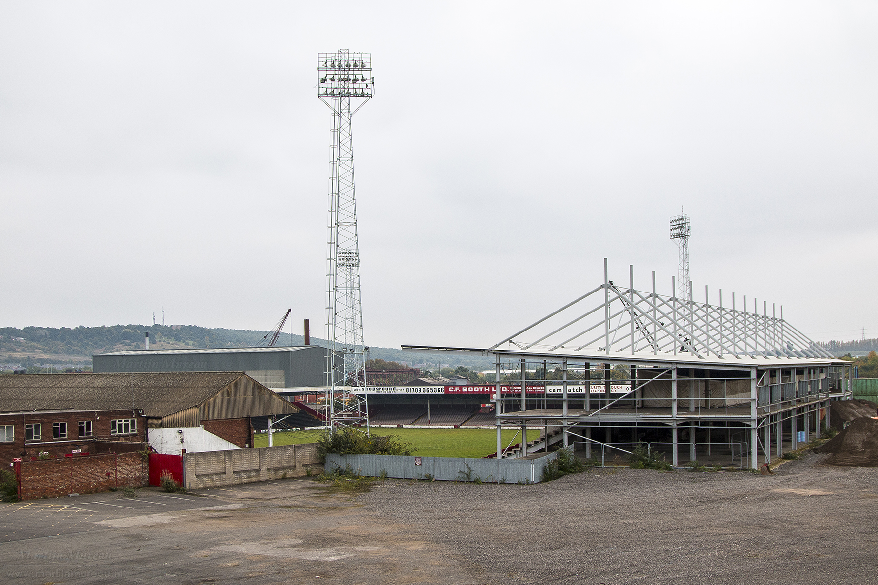
Millmoor

The Millmoor Ground, commonly known as Millmoor, is a football stadium in Rotherham, South Yorkshire, England. It was the home ground of Rotherham County...

St Bede's Church, Rotherham

St Bede's Church is a Roman Catholic parish church in Rotherham, South Yorkshire, England. The Gothic Revival style church, designed by Weightman and Hadfield...

New York Stadium

The New York Stadium (known as the AESSEAL New York Stadium for sponsorship purposes) is a football stadium in Rotherham, South Yorkshire, England. Opened...

Nearby Amenities

Located within 500m of 53.427708,-1.3680427
Brinsworth Street Level Crossing
Crossing Barrier: full
Railway: level_crossing
Lat/Long: 53.4256898/-1.3684131
Rotherham Central Junction
Railway: junction
Lat/Long: 53.4285231/-1.3629527
Seamark Type: gate
Waterway: lock_gate
Lat/Long: 53.4255216/-1.3693134
Seamark Type: gate
Waterway: lock_gate
Lat/Long: 53.4254901/-1.3689422
Crossing
Lat/Long: 53.4295549/-1.3669581
Pharmacy
Lloyds Pharmacy
Brand: Lloyds Pharmacy
Brand Wikidata: Q6662870
Dispensing: yes
Healthcare: pharmacy
Lat/Long: 53.4302422/-1.3737024
Telephone
Booth: KX100
Covered: booth
Operator: BT
Operator Wikidata: Q593786
Lat/Long: 53.4315461/-1.3679256
Public Building
Masborough and Thornhill Community Centre
Lat/Long: 53.4314226/-1.3677077
Masbrough Street/John Street
Bus: yes
Public Transport: stop_position
Lat/Long: 53.4294606/-1.3674302
Post Box
Brand: Royal Mail
Brand Wikidata: Q638098
Collection Times: Mo-Fr 17:00; Sa 12:00
Operator: Royal Mail
Operator Wikidata: Q638098
Post Box Type: pillar
Ref: S60 4
Royal Cypher: EIIR
Royal Cypher Wikidata: Q33102113
Lat/Long: 53.4315066/-1.3694712
Bus Stop
Midland Road/Princes Street
Bus: yes
Naptan AtcoCode: 370030183
Naptan Bearing: N
Naptan CommonName: Midland Road/Princes Street
Naptan Indicator: 30183
Naptan Landmark: S.LIGHT NO. 3/RAILWAY BRIDGE
Naptan PlusbusZoneRef: ROTHCEN
Naptan Street: Midland Road
Naptan Verified: no
Public Transport: platform
Source: naptan_import
Lat/Long: 53.4314025/-1.3714105
Bus Stop
Masbrough Street/Station Road
Bus: yes
Naptan AtcoCode: 370030871
Naptan Bearing: E
Naptan CommonName: Masbrough Street/Station Road
Naptan Indicator: 30871
Naptan Landmark: Elf Garage
Naptan PlusbusZoneRef: ROTHCEN
Naptan Street: Masbrough Street
Naptan Verified: no
Public Transport: platform
Source: naptan_import
Lat/Long: 53.4296751/-1.366748
Bus Stop
Masbrough Street/John Street
Alt Name: Masbrough Street/John Street
Bus: yes
Naptan AltCommonName: Masbrough Street/John Street
Naptan AtcoCode: 370030872
Naptan Bearing: W
Naptan CommonName: Masbrough Street/John Street
Naptan Indicator: 30872
Naptan Landmark: ELF GARAGE
Naptan PlusbusZoneRef: ROTHCEN
Naptan Street: Masbrough Street
Naptan Verified: no
Public Transport: platform
Source: naptan_import
Lat/Long: 53.4294114/-1.3674068
Bus Stop
Masbrough Street/Coronation Bridge
Alt Name: Masbrough Street/Coronation Bridge
Bus: yes
Naptan AltCommonName: Masbrough Street/Coronation Bridge
Naptan AtcoCode: 370030880
Naptan Bearing: N
Naptan CommonName: Masbrough Street/Coronation Bridge
Naptan Indicator: 30880
Naptan Landmark: ROTHERHAM UNITED FOOTBALL GROU
Naptan PlusbusZoneRef: ROTHCEN
Naptan Street: Masbrough Street
Naptan Verified: no
Public Transport: platform
Source: naptan_import
Lat/Long: 53.4292838/-1.3698407
Bus Stop
College Road/Albert Street
Bus: yes
Naptan AtcoCode: 370030499
Naptan Bearing: W
Naptan CommonName: College Road/Albert Street
Naptan Indicator: 30499
Naptan Landmark: Masbrough Community Centre/Whi
Naptan PlusbusZoneRef: ROTHCEN
Naptan Street: College Road
Naptan Verified: no
Public Transport: platform
Source: naptan_import
Lat/Long: 53.4314642/-1.3677822
Bus Stop
Masbrough Street/Millmoor Lane
Alt Name: Masbrough Street/Millmoor Lane
Bus: yes
Naptan AltCommonName: Masbrough Street/Millmoor Lane
Naptan AtcoCode: 370035388
Naptan Bearing: N
Naptan CommonName: Masbrough Street/Millmoor Lane
Naptan Indicator: 35388
Naptan Landmark: FOOTBALL GROUND
Naptan PlusbusZoneRef: ROTHCEN
Naptan Street: Masbrough Street
Naptan Verified: no
Public Transport: platform
Source: naptan_import
Lat/Long: 53.4293857/-1.3691201
Bus Stop
College Road/Winifred Street
Alt Name: College Road/Winifred Street
Bus: yes
Naptan AltCommonName: College Road/Winifred Street
Naptan AtcoCode: 370035390
Naptan Bearing: E
Naptan CommonName: College Road/Winifred Street
Naptan Indicator: 35390
Naptan Landmark: WHITE LION
Naptan PlusbusZoneRef: ROTHCEN
Naptan Street: College Road
Naptan Verified: no
Public Transport: platform
Source: naptan_import
Lat/Long: 53.431573/-1.367303
Bus Stop
College Road/St Johns Court
Alt Name: College Road/St Johns Court
Bus: yes
Naptan AltCommonName: College Road/St Johns Court
Naptan AtcoCode: 370035502
Naptan Bearing: N
Naptan CommonName: College Road/St Johns Court
Naptan Indicator: 35502
Naptan Landmark: Railway Bridge
Naptan PlusbusZoneRef: ROTHCEN
Naptan Street: College Road
Naptan Verified: no
Public Transport: platform
Source: naptan_import
Lat/Long: 53.4315283/-1.3714087
Turning Circle
Lat/Long: 53.4308314/-1.3675631
Railway: switch
Lat/Long: 53.4275254/-1.3724586
Railway: switch
Lat/Long: 53.4274927/-1.3720025
Railway: switch
Lat/Long: 53.427536/-1.370551
South Curve Junction
Railway: junction
Lat/Long: 53.4271535/-1.3744123
Man Made: tower
Lat/Long: 53.4255996/-1.3680286
Railway: switch
Lat/Long: 53.4290507/-1.3626243
Railway: switch
Lat/Long: 53.4283939/-1.3630595
Railway: switch
Lat/Long: 53.4286058/-1.362931
Barrier: lift_gate
Source: Bing;survey
Lat/Long: 53.4302376/-1.3637322
Traffic Signals
Traffic Signals: signal
Traffic Signals Direction: forward
Lat/Long: 53.4310146/-1.364655
Man Made: tower
Source: Bing
Lat/Long: 53.4277616/-1.3696671
Man Made: tower
Source: Bing
Lat/Long: 53.427823/-1.3709357
Man Made: tower
Source: Bing
Lat/Long: 53.4288418/-1.3708768
Man Made: tower
Source: Bing
Lat/Long: 53.4288576/-1.3696112
Railway: switch
Lat/Long: 53.4275569/-1.3711516
Railway: level_crossing
Lat/Long: 53.4276004/-1.369145
Rotherham Autopoint
Building: garage
Lat/Long: 53.4298924/-1.3713043
Building: garage
Lat/Long: 53.4299787/-1.3707312
Rotherham Masborough
Abandoned Railway: station
Railway: site
Wikidata: Q7370435
Wikipedia: en:Rotherham Masborough railway station
Lat/Long: 53.4309765/-1.3717391
Traffic Signals
Traffic Signals: signal
Traffic Signals Direction: forward
Lat/Long: 53.4295431/-1.3654306
Traffic Signals
Traffic Signals: signal
Traffic Signals Direction: forward
Lat/Long: 53.4298095/-1.3649626
Traffic Signals
Traffic Signals: signal
Traffic Signals Direction: forward
Lat/Long: 53.4295264/-1.3656997
Traffic Signals
Traffic Signals: signal
Traffic Signals Direction: forward
Lat/Long: 53.4296285/-1.36487
Traffic Signals
Traffic Signals: signal
Traffic Signals Direction: forward
Lat/Long: 53.4297712/-1.3656593
Traffic Signals
Traffic Signals: signal
Traffic Signals Direction: forward
Lat/Long: 53.4297917/-1.3647092
Traffic Signals
Traffic Signals: signal
Traffic Signals Direction: forward
Lat/Long: 53.4297094/-1.3654993
Traffic Signals
Traffic Signals: signal
Traffic Signals Direction: forward
Lat/Long: 53.4278975/-1.3653561
Traffic Signals
Traffic Signals: signal
Traffic Signals Direction: forward
Lat/Long: 53.4278309/-1.3654989
Traffic Signals
Traffic Signals: signal
Traffic Signals Direction: forward
Lat/Long: 53.4309639/-1.3649201
Defibrillator
Access: yes
Check Date: 2023-03-09
Defibrillator Location: On outside wall. Available 24/7.
Emergency: defibrillator
Indoor: no
Opening Hours: 24/7
Ref GB The Circuit: 0D403F69-9DE7-438B-A2D7-B10E00FEF7D1
Lat/Long: 53.4277122/-1.3627445
Post Box
Collection Times: Mo-Fr 09:00; Sa 07:00
Post Box Type: pillar
Ref: S60 259
Royal Cypher: EIIR
Royal Cypher Wikidata: Q33102113
Lat/Long: 53.4292758/-1.3680448
Defibrillator
Access: yes
Check Date: 2023-03-09
Defibrillator Location: On outside wall. Available 24/7.
Emergency: defibrillator
Indoor: no
Opening Hours: 24/7
Lat/Long: 53.4298192/-1.3687459
Masbrough Street/Coronation Bridge
Bus: yes
Public Transport: stop_position
Lat/Long: 53.4293315/-1.3698432
Masbrough Street/Millmoor Lane
Bus: yes
Public Transport: stop_position
Lat/Long: 53.4293318/-1.3691178
Masbrough Street/Station Road
Bus: yes
Public Transport: stop_position
Lat/Long: 53.4295922/-1.3667296
Bus Stop
Main Street/New York Way
Bus: yes
Naptan AtcoCode: 370036037
Naptan NaptanCode: 37036037
Public Transport: platform
Lat/Long: 53.4294499/-1.3616718
Main Street/New York Way
Bus: yes
Public Transport: stop_position
Lat/Long: 53.4294974/-1.3616724
Steel Henge
Tourism: artwork
Lat/Long: 53.4247385/-1.3686824
Bench
Lat/Long: 53.4238209/-1.37073
Bench
Lat/Long: 53.424272/-1.3694858
Bench
Lat/Long: 53.4241293/-1.3691101
Bench
Lat/Long: 53.4248449/-1.3689041
Brinsworth Street Tram
Power: substation
Ref: 57568
Lat/Long: 53.4243821/-1.3708241
Crossing
Lat/Long: 53.4249665/-1.3626495
Masborough South Junction
Railway: junction
Lat/Long: 53.4254769/-1.3725641
Masborough Station South Junction
Railway: junction
Lat/Long: 53.4298379/-1.3721981
Board Title: New York! New York!
Information: board
Tourism: information
Lat/Long: 53.4271193/-1.360869
Bench
Backrest: yes
Lat/Long: 53.4271593/-1.360821
Camera Mount: pole
Camera Type: dome
Man Made: surveillance
Surveillance: public
Surveillance Type: camera
Surveillance Zone: town
Lat/Long: 53.4243461/-1.3638908
Direction: 215
Man Made: surveillance
Surveillance: public
Surveillance Type: ALPR
Surveillance Zone: traffic
Lat/Long: 53.4238404/-1.3649752
Camera Mount: pole
Camera Type: dome
Man Made: surveillance
Surveillance: public
Surveillance Type: camera
Surveillance Zone: town
Lat/Long: 53.429816/-1.3651726
Direction: 10
Man Made: surveillance
Surveillance: public
Surveillance Type: ALPR
Surveillance Zone: traffic
Lat/Long: 53.4315816/-1.3642271
Defibrillator
Access: yes
Defibrillator Location: On the outside wall at the back of the church.
Emergency: defibrillator
Indoor: no
Lat/Long: 53.4301219/-1.3678652
The data included in this document is from www.openstreetmap.org. The data is made available under ODbL.

Have you been to Holmes Tail Goit?

Leave your review of Holmes Tail Goit below (or comments, questions and feedback).