York, New

Settlement in Yorkshire Harrogate

England

York, New

Nidderdale Weir This weir used to serve the nearby corn mill which is now a saw mill.
Nidderdale Weir Credit: Stuart and Fiona Jackson

York is a historic city located in the county of North Yorkshire, in the northern part of England. It is the county town of Yorkshire and is situated at the confluence of the rivers Ouse and Foss. With a population of approximately 200,000, it is one of the largest cities in Yorkshire.

Known for its rich history, York boasts a wealth of historical landmarks and attractions. The most famous of these is the York Minster, a stunning Gothic cathedral that dominates the city's skyline. The city's medieval walls, which encircle the historic center, are the most complete in England and offer breathtaking views of the city and its surroundings.

York is also renowned for its well-preserved medieval architecture, with narrow cobbled streets and timber-framed buildings. The Shambles, a picturesque street lined with overhanging timber-framed buildings, is particularly popular with tourists.

In addition to its historical charm, York is a vibrant and bustling city with a thriving cultural scene. It is home to numerous museums, including the National Railway Museum, which houses an impressive collection of historic locomotives. The city also hosts various festivals throughout the year, such as the York Food and Drink Festival and the Jorvik Viking Festival.

With excellent transport links, including a mainline railway station and proximity to major road networks, York is easily accessible. It is an attractive destination for both tourists and residents alike, offering a unique blend of history, culture, and natural beauty.

If you have any feedback on the listing, please let us know in the comments section below.

York, New Images

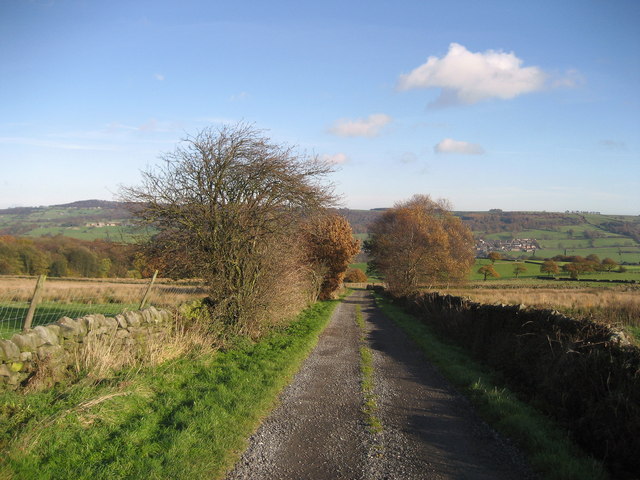
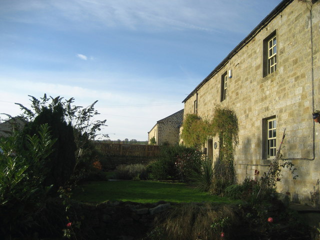
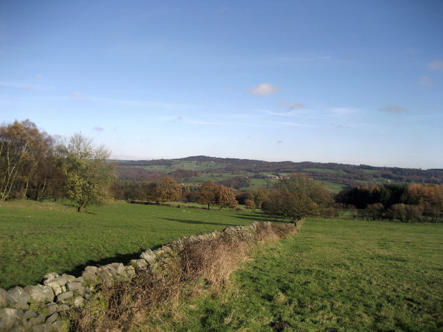
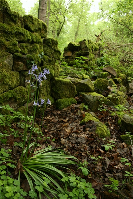
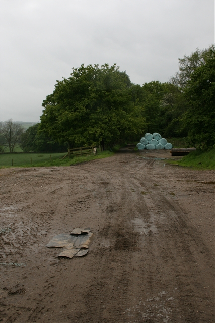
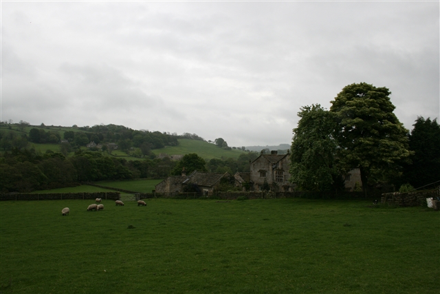
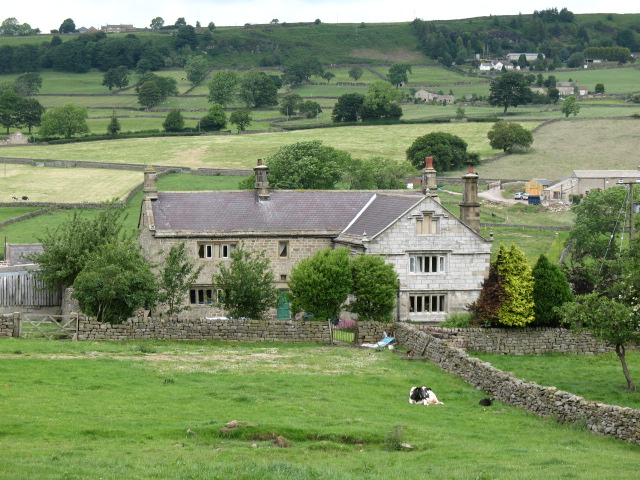
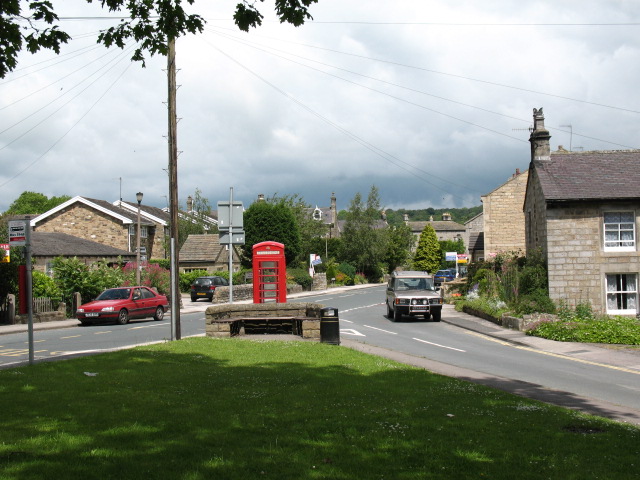
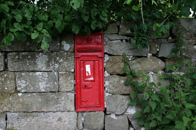
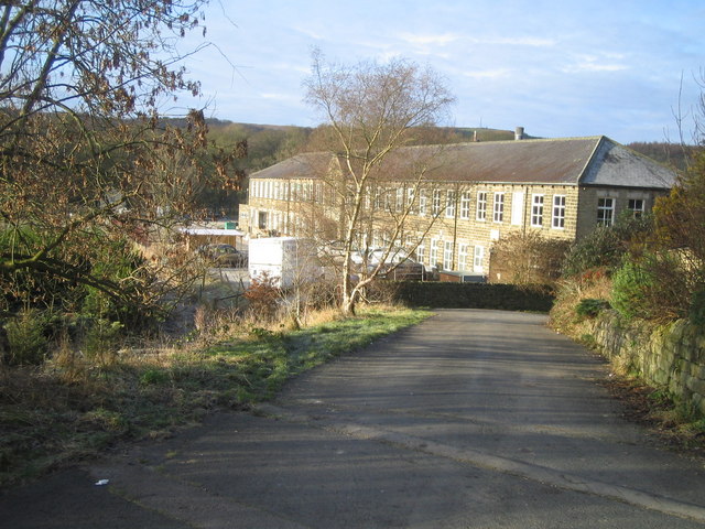
Images are sourced within 2km of 54.060593/-1.698537 or Grid Reference SE1962. Thanks to Geograph Open Source API. All images are credited.

Nidderdale Weir This weir used to serve the nearby corn mill which is now a saw mill.
Nidderdale Weir
This weir used to serve the nearby corn mill which is now a saw mill.
Dacre Banks
Dacre Banks
Dacre Banks Sports Club
Dusty Miller Restaurant, Low Laithe The photo would have been even better last week - unfortunately it was raining hard!
Dusty Miller Restaurant, Low Laithe
The photo would have been even better last week - unfortunately it was raining hard!
Smelthouses A charming little hamlet. The name suggests extracting metals from ore, but all trace of this site is now lost. It was probably from monastic times.
Smelthouses
A charming little hamlet. The name suggests extracting metals from ore, but all trace of this site is now lost. It was probably from monastic times.
Braisty Woods Farm Historical home of the Skaife family.
Braisty Woods Farm
Historical home of the Skaife family.
Bridge over Fell Beck This is just before Fell Beck empties its waters into the River Nidd. The bridge carries the B6165 road over the watercourse just north of the village of Low Laithe
Bridge over Fell Beck
This is just before Fell Beck empties its waters into the River Nidd. The bridge carries the B6165 road over the watercourse just north of the village of Low Laithe
River Nidd near Wilsill Part of a superb riverside path that stretches from Low Laithe to Pateley Bridge
River Nidd near Wilsill
Part of a superb riverside path that stretches from Low Laithe to Pateley Bridge
Monk Ings Road Pleasant green lane running down towards Dacre Banks, now adopted by the Nidderdale Way
Monk Ings Road
Pleasant green lane running down towards Dacre Banks, now adopted by the Nidderdale Way
Northwoods Row of Cottages in Nidderdale, equidistant between Heyshaw and Dacre Banks
Northwoods
Row of Cottages in Nidderdale, equidistant between Heyshaw and Dacre Banks
Fields between Northwoods and Clark's Carr Glorious views over Nidderdale to Brimham Rocks on the horizon can be obtained from the footpath from Northwoods to Clark's Carr Woods
Fields between Northwoods and Clark's Carr
Glorious views over Nidderdale to Brimham Rocks on the horizon can be obtained from the footpath from Northwoods to Clark's Carr Woods
Collapsed wall, Low Hall Wood One of the walls lining the old railway line. See <a href="https://www.geograph.org.uk/photo/440183">SE1960 : Course of old railway, Nidderdale</a>.
Collapsed wall, Low Hall Wood
One of the walls lining the old railway line. See SE1960 : Course of old railway, Nidderdale.
Old railway and silage bales, Low Hall Plastic-wrapped bales for silage are stacked on the old railway near Dacre. See <a href="https://www.geograph.org.uk/photo/440183">SE1960 : Course of old railway, Nidderdale</a>.
Old railway and silage bales, Low Hall
Plastic-wrapped bales for silage are stacked on the old railway near Dacre. See SE1960 : Course of old railway, Nidderdale.
Low Hall, Nidderdale Dowgill Farm in the background, across the valley.
Low Hall, Nidderdale
Dowgill Farm in the background, across the valley.
Harewell Hall, Nidderdale A traditional Dales farmhouse which looks as though it dates from the 17th century, although the projecting wing to the right poses a question. Is it of a similar period, or is it possibly a 19th century addition built in a sympathetic style?  The dressed stonework is certainly different from the main part of the house.

The building is Grade II listed <span class="nowrap"><a title="http://www.britishlistedbuildings.co.uk/en-331173-harewell-hall-dacre-north-yorkshire" rel="nofollow ugc noopener" href="http://www.britishlistedbuildings.co.uk/en-331173-harewell-hall-dacre-north-yorkshire">Link</a><img style="margin-left:2px;" alt="External link" title="External link - shift click to open in new window" src="https://s1.geograph.org.uk/img/external.png" width="10" height="10"/></span>
Harewell Hall, Nidderdale
A traditional Dales farmhouse which looks as though it dates from the 17th century, although the projecting wing to the right poses a question. Is it of a similar period, or is it possibly a 19th century addition built in a sympathetic style? The dressed stonework is certainly different from the main part of the house. The building is Grade II listed LinkExternal link
Dacre Banks village hall The village hall looks out over a small triangular green near the centre of the village.
Dacre Banks village hall
The village hall looks out over a small triangular green near the centre of the village.
Dacre Banks village centre Taken from the small village green, this shot shows the central part of the village.
Dacre Banks village centre
Taken from the small village green, this shot shows the central part of the village.
Victorian Postbox at Dacre. This box has been sealed and a modern one is situated just across the road.
Victorian Postbox at Dacre.
This box has been sealed and a modern one is situated just across the road.
Show me another place!

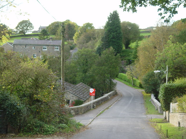
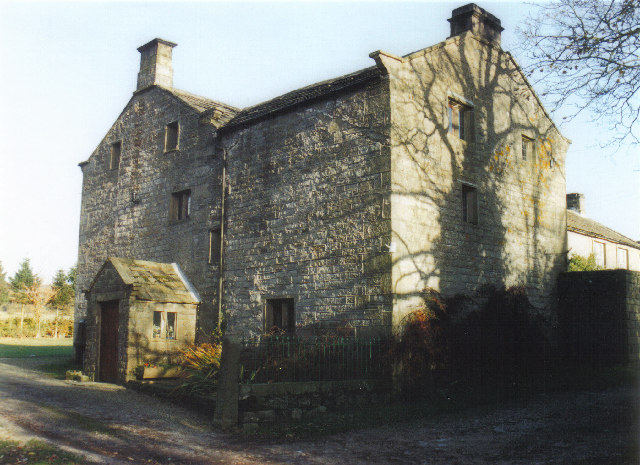
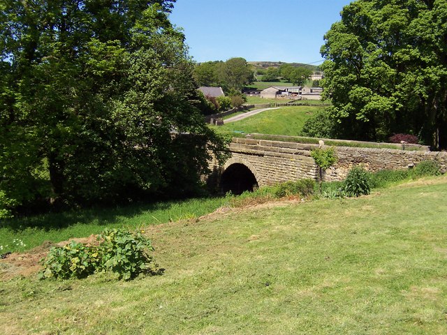
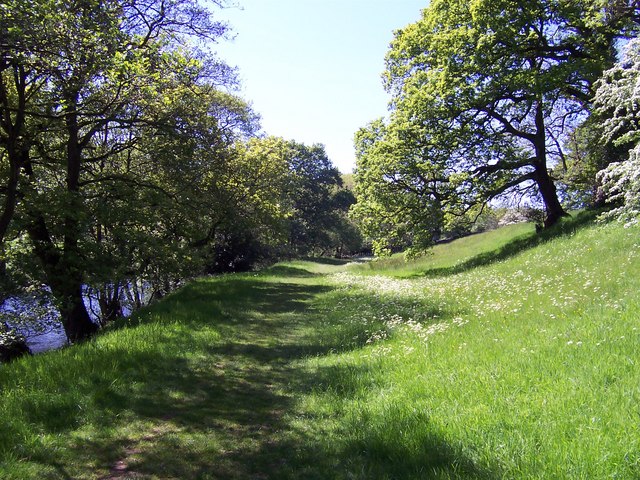
York, New is located at Grid Ref: SE1962 (Lat: 54.060593, Lng: -1.698537)

Division: West Riding

Administrative County: North Yorkshire

District: Harrogate

Police Authority: North Yorkshire

What 3 Words

///humidity.anchovies.digested. Near Pateley Bridge, North Yorkshire

Related Wikis

New York, North Yorkshire

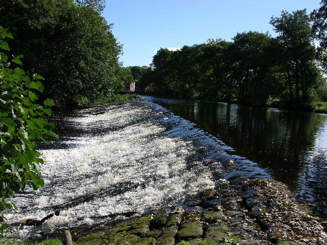
New York is a settlement in Nidderdale in the Harrogate district of North Yorkshire, England. It is on the River Nidd, near Summerbridge, and about 2...

Summerbridge, North Yorkshire

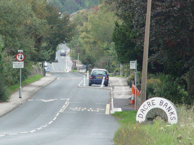
Summerbridge is a village in Nidderdale in Harrogate district, North Yorkshire, England. It is on the River Nidd, adjacent to Dacre Banks on the opposite...

Dacre railway station

Dacre railway station served the villages of Dacre and Summerbridge, North Yorkshire, England from 1862 to 1951 on the Nidd Valley Railway. == History... ==

Hartwith cum Winsley

Hartwith cum Winsley is a civil parish in Harrogate district, North Yorkshire, England. Historically it was a township in the ancient parish of Kirkby...

Nearby Amenities

Located within 500m of 54.060593,-1.698537
Bus Stop
Summerbridge, Flying Dutchman PH (Northwestbound)
Bench: yes
Bin: yes
Bus: yes
Departures Board: timetable
Network: DalesBus
Operator: Harrogate Bus Company
Public Transport: platform
Shelter: yes
Tactile Paving: no
Lat/Long: 54.0576151/-1.693993
Fuel
Lat/Long: 54.0588325/-1.6955284
Post Box
Post Box Type: lamp
Lat/Long: 54.0614811/-1.7007579
Barrier: cattle_grid
Lat/Long: 54.0593908/-1.7034639
Cenotaph
Historic: memorial
Memorial: war_memorial
Lat/Long: 54.0599825/-1.6969481
Entrance: main
Lat/Long: 54.0562713/-1.6996858
ClarityArts
Shop: kitchen
Lat/Long: 54.0614226/-1.7027213
Bus Stop
New York Mills (Southeastbound)
Bench: yes
Bin: yes
Bus: yes
Departures Board: timetable
Naptan AtcoCode: 3200YND24530
Naptan NaptanCode: 32024530
Network: DalesBus
Operator: Harrogate Bus Company
Public Transport: platform
Shelter: yes
Tactile Paving: no
Lat/Long: 54.0615517/-1.7006536
Bus Stop
New York Mills (Northwestbound)
Bench: no
Bin: no
Bus: yes
Departures Board: timetable
Network: DalesBus
Operator: Harrogate Bus Company
Public Transport: platform
Shelter: no
Tactile Paving: no
Lat/Long: 54.0615793/-1.7009892
Bus Stop
Nidd Terrace (Northwestbound)
Bench: no
Bin: no
Bus: yes
Departures Board: timetable
Naptan AtcoCode: 3200YND24310
Naptan NaptanCode: 32024310
Network: DalesBus
Operator: Harrogate Bus Company
Public Transport: platform
Shelter: no
Tactile Paving: no
Lat/Long: 54.0601994/-1.6975187
Bus Stop
Nidd Terrace (Southeastbound)
Bench: no
Bin: no
Bus: yes
Departures Board: timetable
Network: DalesBus
Operator: Harrogate Bus Company
Public Transport: platform
Shelter: no
Tactile Paving: no
Lat/Long: 54.060062/-1.6971616
Bus Stop
Summerbridge, Flying Dutchman PH (Southeastbound)
Bench: no
Bin: no
Bus: yes
Departures Board: timetable
Naptan AtcoCode: 3200YND24550
Naptan NaptanCode: 32024550
Network: DalesBus
Operator: Harrogate Bus Company
Public Transport: platform
Shelter: no
Tactile Paving: no
Lat/Long: 54.0575168/-1.6936963
New York
Place: hamlet
Wikidata: Q7012955
Lat/Long: 54.0609807/-1.6988474
Man Made: water_tap
Lat/Long: 54.0599717/-1.6968549
Barrier: stile
Lat/Long: 54.0641338/-1.7002928
Barrier: stile
Lat/Long: 54.0629137/-1.6996098
The data included in this document is from www.openstreetmap.org. The data is made available under ODbL.

Have you been to York, New?

Leave your review of York, New below (or comments, questions and feedback).