Gill Wood

Wood, Forest in Yorkshire Harrogate

England

Gill Wood

Nidderdale Weir This weir used to serve the nearby corn mill which is now a saw mill.
Nidderdale Weir Credit: Stuart and Fiona Jackson

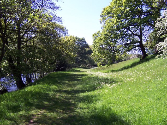
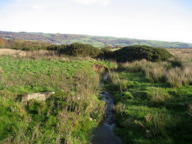
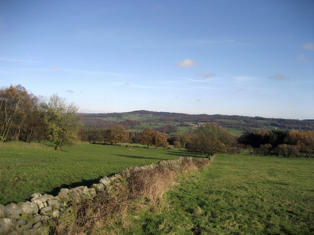
Gill Wood is a picturesque woodland located in Yorkshire, England. Spread across an area of approximately 50 acres, it is known for its natural beauty, biodiversity, and tranquil atmosphere. Situated near the village of Gillamoor, the wood is a popular destination for nature enthusiasts, hikers, and birdwatchers.

The woodland is primarily composed of broadleaf trees, including oak, ash, beech, and birch. These trees provide a dense canopy, creating a shaded and cool environment, even during the warm summer months. The forest floor is carpeted with a rich variety of flora, such as bluebells, primroses, and wild garlic, adding to the wood's charm and allure.

Gill Wood is home to a diverse range of wildlife. Bird species like great tits, blackbirds, and woodpeckers can be spotted among the treetops, while mammals like badgers, foxes, and deer can occasionally be seen foraging on the forest floor. The wood also supports a variety of insects, including butterflies and dragonflies, adding to its ecological significance.

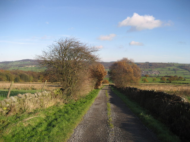
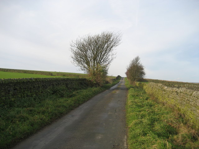
Visitors to Gill Wood can enjoy a network of well-maintained walking trails that wind through the woodland. These trails offer stunning views of the surrounding countryside and provide opportunities for peaceful walks and contemplation. Additionally, the wood offers ample space for picnicking, making it a popular spot for families and outdoor enthusiasts.

Overall, Gill Wood is a natural haven, offering visitors a chance to connect with nature and experience the tranquility of a traditional English woodland. Whether it's for a leisurely stroll, birdwatching, or simply enjoying a peaceful afternoon, Gill Wood is a place of beauty and serenity.

If you have any feedback on the listing, please let us know in the comments section below.

Gill Wood Images

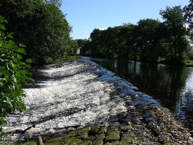
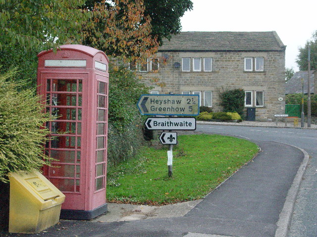
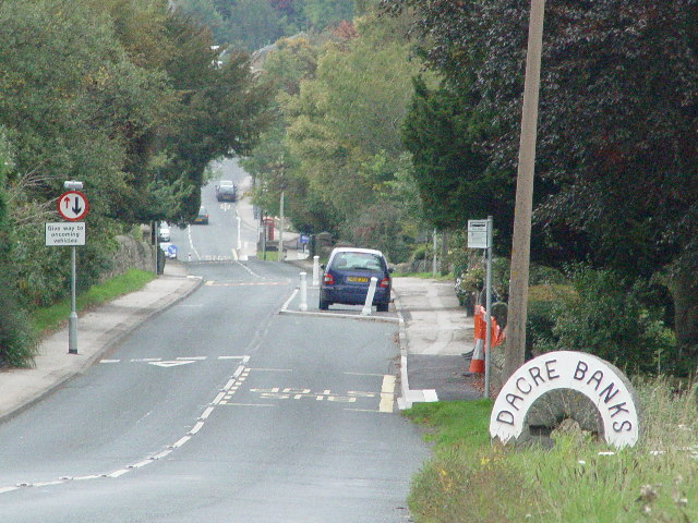
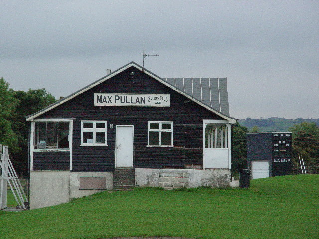
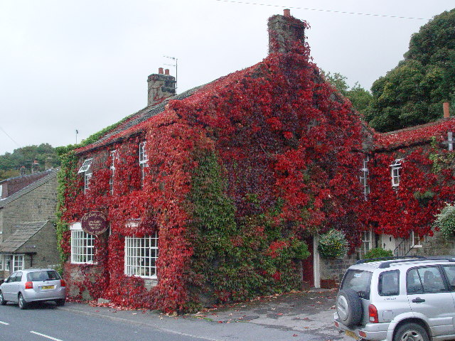
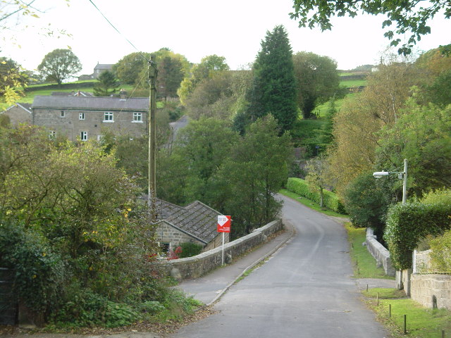
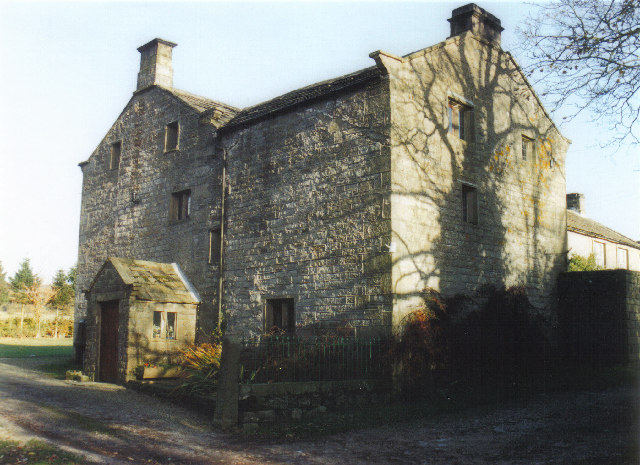
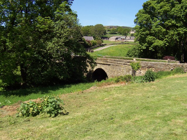
Images are sourced within 2km of 54.059055/-1.7064965 or Grid Reference SE1962. Thanks to Geograph Open Source API. All images are credited.

Nidderdale Weir This weir used to serve the nearby corn mill which is now a saw mill.
Nidderdale Weir
This weir used to serve the nearby corn mill which is now a saw mill.
Dacre Banks
Dacre Banks
Dacre Banks Sports Club
Dusty Miller Restaurant, Low Laithe The photo would have been even better last week - unfortunately it was raining hard!
Dusty Miller Restaurant, Low Laithe
The photo would have been even better last week - unfortunately it was raining hard!
Smelthouses A charming little hamlet. The name suggests extracting metals from ore, but all trace of this site is now lost. It was probably from monastic times.
Smelthouses
A charming little hamlet. The name suggests extracting metals from ore, but all trace of this site is now lost. It was probably from monastic times.
Braisty Woods Farm Historical home of the Skaife family.
Braisty Woods Farm
Historical home of the Skaife family.
Bridge over Fell Beck This is just before Fell Beck empties its waters into the River Nidd. The bridge carries the B6165 road over the watercourse just north of the village of Low Laithe
Bridge over Fell Beck
This is just before Fell Beck empties its waters into the River Nidd. The bridge carries the B6165 road over the watercourse just north of the village of Low Laithe
River Nidd near Wilsill Part of a superb riverside path that stretches from Low Laithe to Pateley Bridge
River Nidd near Wilsill
Part of a superb riverside path that stretches from Low Laithe to Pateley Bridge
Monk Ings Road Pleasant green lane running down towards Dacre Banks, now adopted by the Nidderdale Way
Monk Ings Road
Pleasant green lane running down towards Dacre Banks, now adopted by the Nidderdale Way
Northwoods Row of Cottages in Nidderdale, equidistant between Heyshaw and Dacre Banks
Northwoods
Row of Cottages in Nidderdale, equidistant between Heyshaw and Dacre Banks
Fields above Loftshaw Gill Following a footpath from Northwoods through a copse and some fields, aiming for the western edge of Clark's Carr Woods - which is just coming into view
Fields above Loftshaw Gill
Following a footpath from Northwoods through a copse and some fields, aiming for the western edge of Clark's Carr Woods - which is just coming into view
Smelt Maria Dike Odd name for a small stream.  Crossed on the access lane to Northwoods
Smelt Maria Dike
Odd name for a small stream. Crossed on the access lane to Northwoods
Nidderdale Way Logo Found at the crossing of Monk Ings Road and Lane Foot Road
Nidderdale Way Logo
Found at the crossing of Monk Ings Road and Lane Foot Road
Lane Foot Road No through road that gives access for several farms to the Queen's Highways
Lane Foot Road
No through road that gives access for several farms to the Queen's Highways
Fields between Northwoods and Clark's Carr Glorious views over Nidderdale to Brimham Rocks on the horizon can be obtained from the footpath from Northwoods to Clark's Carr Woods
Fields between Northwoods and Clark's Carr
Glorious views over Nidderdale to Brimham Rocks on the horizon can be obtained from the footpath from Northwoods to Clark's Carr Woods
Copse, near Northwoods This pleasant small area of woodland straddles the path that leads from Northwoods to Clark's Carr Woods
Copse, near Northwoods
This pleasant small area of woodland straddles the path that leads from Northwoods to Clark's Carr Woods
Clark's Carr Area of woodland in Nidderdale - this showing the western portion
Clark's Carr
Area of woodland in Nidderdale - this showing the western portion
Show me another place!

Gill Wood is located at Grid Ref: SE1962 (Lat: 54.059055, Lng: -1.7064965)

Division: West Riding

Administrative County: North Yorkshire

District: Harrogate

Police Authority: North Yorkshire

What 3 Words

///risky.universes.slide. Near Pateley Bridge, North Yorkshire

Related Wikis

New York, North Yorkshire

New York is a settlement in Nidderdale in the Harrogate district of North Yorkshire, England. It is on the River Nidd, near Summerbridge, and about 2...

Summerbridge, North Yorkshire

Summerbridge is a village in Nidderdale in Harrogate district, North Yorkshire, England. It is on the River Nidd, adjacent to Dacre Banks on the opposite...

Dacre railway station

Dacre railway station served the villages of Dacre and Summerbridge, North Yorkshire, England from 1862 to 1951 on the Nidd Valley Railway. == History... ==

Smelthouses

Smelthouses is a hamlet in Nidderdale in North Yorkshire, England. It lies about 2.3 miles (4 km) south-east of Pateley Bridge, on either side of Fell...

Nearby Amenities

Located within 500m of 54.059055,-1.7064965
Ford: yes
Source: OS_OpenData_StreetView
Lat/Long: 54.056377/-1.7039542
Post Box
Post Box Type: lamp
Lat/Long: 54.0614811/-1.7007579
Barrier: cattle_grid
Lat/Long: 54.0593908/-1.7034639
ClarityArts
Shop: kitchen
Lat/Long: 54.0614226/-1.7027213
Bus Stop
New York Mills (Southeastbound)
Bench: yes
Bin: yes
Bus: yes
Departures Board: timetable
Naptan AtcoCode: 3200YND24530
Naptan NaptanCode: 32024530
Network: DalesBus
Operator: Harrogate Bus Company
Public Transport: platform
Shelter: yes
Tactile Paving: no
Lat/Long: 54.0615517/-1.7006536
Bus Stop
New York Mills (Northwestbound)
Bench: no
Bin: no
Bus: yes
Departures Board: timetable
Network: DalesBus
Operator: Harrogate Bus Company
Public Transport: platform
Shelter: no
Tactile Paving: no
Lat/Long: 54.0615793/-1.7009892
Ford: yes
Lat/Long: 54.0563586/-1.7114642
The data included in this document is from www.openstreetmap.org. The data is made available under ODbL.

Have you been to Gill Wood?

Leave your review of Gill Wood below (or comments, questions and feedback).