New York

Settlement in Lincolnshire East Lindsey

England

New York

Ivy Lane A track off Reedham Lane. A crop on the right is being protected from frosts by plastic sheeting.
Ivy Lane Credit: Jonathan Thacker

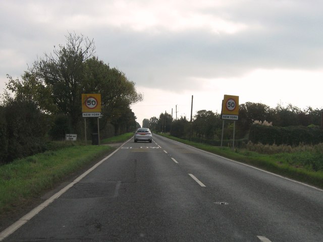
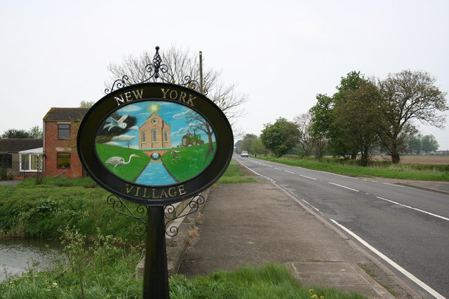
New York is a small village located in Lincolnshire, England. It is situated near the town of Louth and is known for its picturesque countryside and historic buildings. The village has a population of around 1,000 residents and is a popular destination for tourists looking to explore the rural charm of the area.

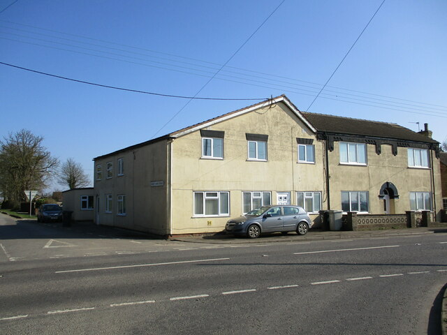
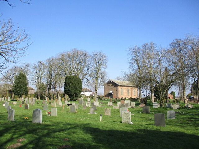
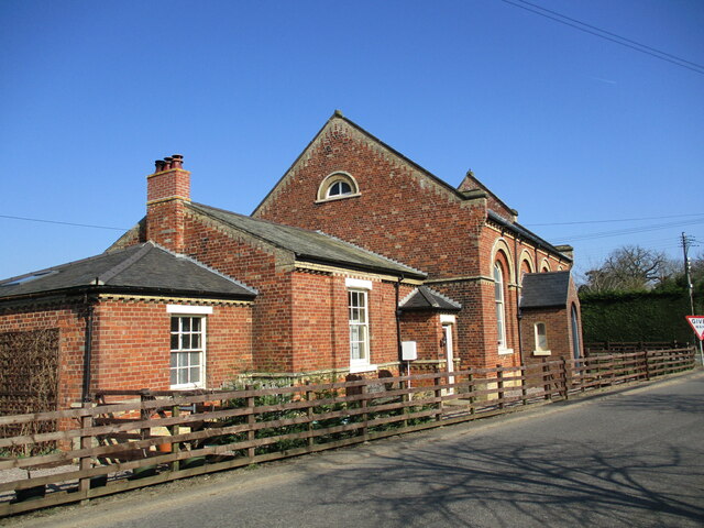
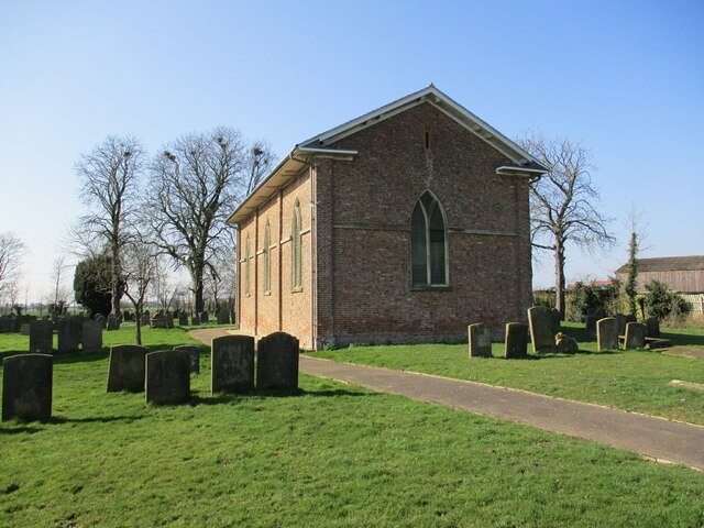
New York is home to a number of traditional thatched cottages, as well as a historic church dating back to the 12th century. The village also has a pub, a post office, and a small grocery store, providing essential amenities for residents and visitors.

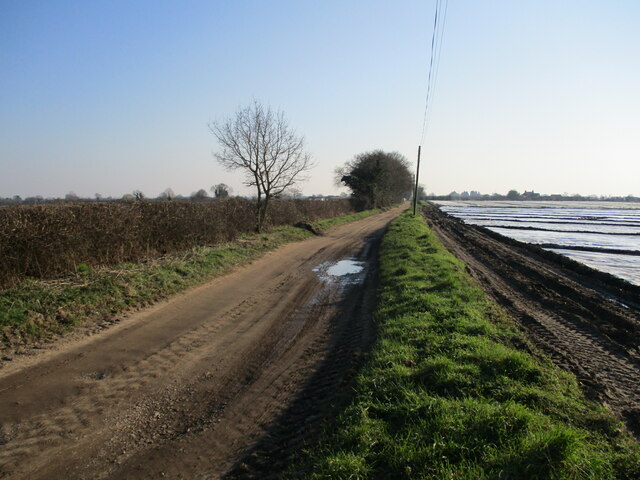
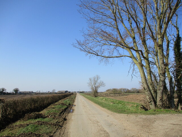
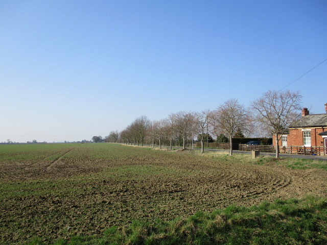
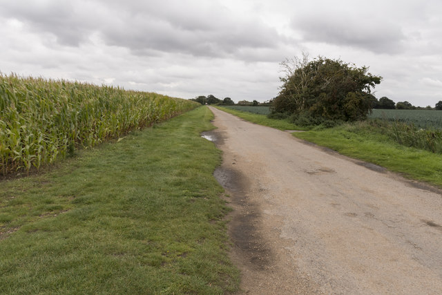
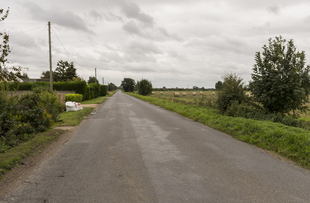
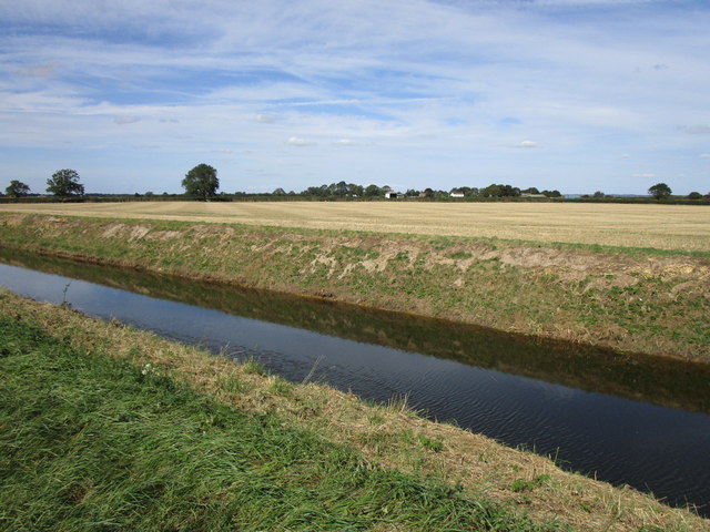
The surrounding countryside offers plenty of opportunities for outdoor activities such as hiking, cycling, and birdwatching. The nearby Lincolnshire Wolds Area of Outstanding Natural Beauty provides stunning views and a peaceful setting for those looking to escape the hustle and bustle of city life.

Overall, New York, Lincolnshire is a charming village with a rich history and a strong sense of community. It is a perfect destination for those seeking a peaceful retreat in the English countryside.

If you have any feedback on the listing, please let us know in the comments section below.
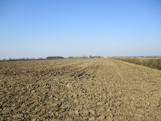
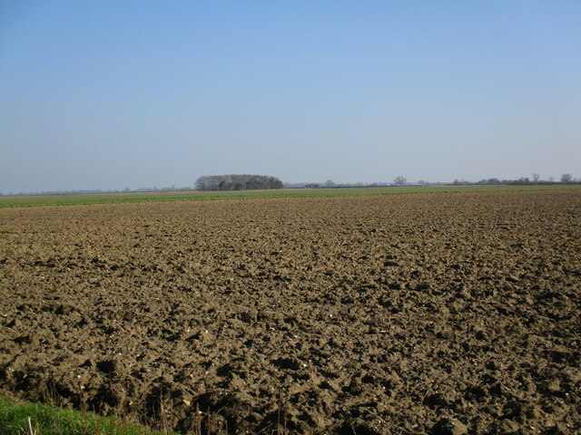
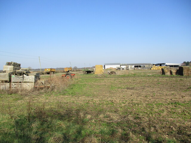
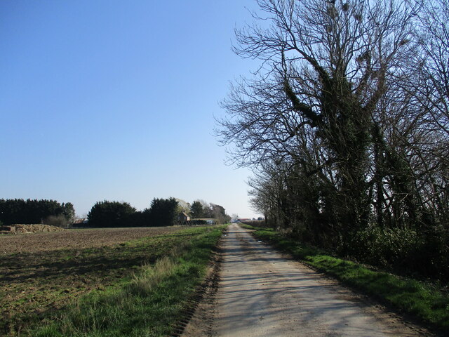
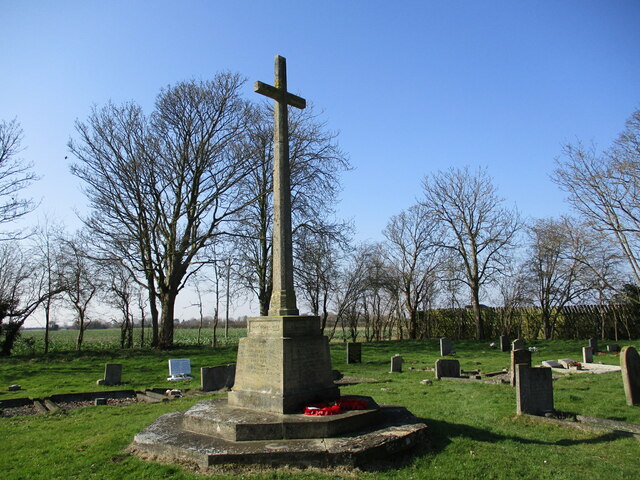
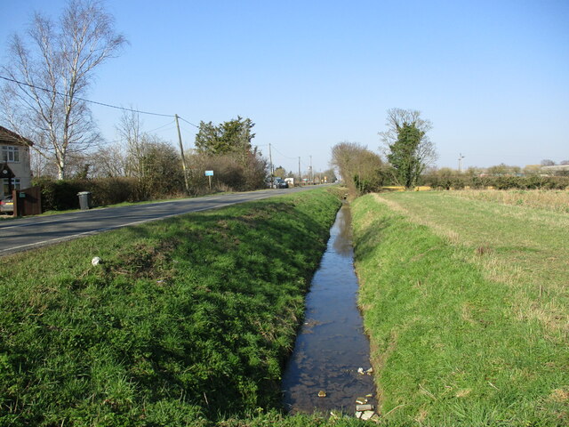
New York Images

Images are sourced within 2km of 53.078105/-0.139892 or Grid Reference TF2455. Thanks to Geograph Open Source API. All images are credited.

Ivy Lane A track off Reedham Lane. A crop on the right is being protected from frosts by plastic sheeting.
Ivy Lane
A track off Reedham Lane. A crop on the right is being protected from frosts by plastic sheeting.
Reedham Lane Once ran through to Coningsby. Now the haunt of vegetable growers and plane spotters.
Reedham Lane
Once ran through to Coningsby. Now the haunt of vegetable growers and plane spotters.
Former village stores and Post Office, New York
Churchyard and St. Peter's church, Wildmore The church <span class="nowrap"><a title="https://historicengland.org.uk/listing/the-list/list-entry/1215327?section=official-list-entry" rel="nofollow ugc noopener" href="https://historicengland.org.uk/listing/the-list/list-entry/1215327?section=official-list-entry">Link</a><img style="margin-left:2px;" alt="External link" title="External link - shift click to open in new window" src="https://s1.geograph.org.uk/img/external.png" width="10" height="10"/></span> was built in 1816 under the Fen Churches Act. The design is attributed to Jeptha Pacey <span class="nowrap"><a title="https://en.wikipedia.org/wiki/Jeptha_Pacey" rel="nofollow ugc noopener" href="https://en.wikipedia.org/wiki/Jeptha_Pacey">Link</a><img style="margin-left:2px;" alt="External link" title="External link - shift click to open in new window" src="https://s1.geograph.org.uk/img/external.png" width="10" height="10"/></span>
Churchyard and St. Peter's church, Wildmore
The church LinkExternal link was built in 1816 under the Fen Churches Act. The design is attributed to Jeptha Pacey LinkExternal link
Ploughed field off Sandy Bank Road
Ploughed field and small plantation, No Man's Friend
Appleyard Farm, Reedham
Reedham Lane
Reedham Lane
Former Methodist church, New York Now a dwelling.
Former Methodist church, New York
Now a dwelling.
Autumn sown crop and line of lime trees, New York The lime trees were planted in 1995 to commemorate 50 years of peace.
Autumn sown crop and line of lime trees, New York
The lime trees were planted in 1995 to commemorate 50 years of peace.
Wildmore and Thornton le Fen War Memorial Unveiled in November 1920 <span class="nowrap"><a title="https://historicengland.org.uk/listing/the-list/list-entry/1443731?section=official-list-entry" rel="nofollow ugc noopener" href="https://historicengland.org.uk/listing/the-list/list-entry/1443731?section=official-list-entry">Link</a><img style="margin-left:2px;" alt="External link" title="External link - shift click to open in new window" src="https://s1.geograph.org.uk/img/external.png" width="10" height="10"/></span>
Wildmore and Thornton le Fen War Memorial
Unveiled in November 1920 LinkExternal link
Drain alongside the B1192, Wildmore
St. Peter's church, Wildmore The church <span class="nowrap"><a title="https://historicengland.org.uk/listing/the-list/list-entry/1215327?section=official-list-entry" rel="nofollow ugc noopener" href="https://historicengland.org.uk/listing/the-list/list-entry/1215327?section=official-list-entry">Link</a><img style="margin-left:2px;" alt="External link" title="External link - shift click to open in new window" src="https://s1.geograph.org.uk/img/external.png" width="10" height="10"/></span> was built in 1816 under the Fen Churches Act. The design is attributed to Jeptha Pacey <span class="nowrap"><a title="https://en.wikipedia.org/wiki/Jeptha_Pacey" rel="nofollow ugc noopener" href="https://en.wikipedia.org/wiki/Jeptha_Pacey">Link</a><img style="margin-left:2px;" alt="External link" title="External link - shift click to open in new window" src="https://s1.geograph.org.uk/img/external.png" width="10" height="10"/></span>
St. Peter's church, Wildmore
The church LinkExternal link was built in 1816 under the Fen Churches Act. The design is attributed to Jeptha Pacey LinkExternal link
Entrance to New York
Reedham Lane, Coningsby Coningsby RAF base is behind the photographer. To the left is a field of maize.
Reedham Lane, Coningsby
Coningsby RAF base is behind the photographer. To the left is a field of maize.
Moorside Road Looking south towards Sandy Bank.
Moorside Road
Looking south towards Sandy Bank.
English Electric Lightning XR753 at Coningsby Built as an F.3 and first flown on 23rd June 1965, XR753 entered service with the CFE in November 1965 and later served with 5 and 23 Squadrons. She was flown to Warton in early 1968 and converted to an F.6, returning to the RAF in July 1969. She continued to serve with 5 and 11 Squadrons at Binbrook until retirement when she was delivered to RAF Leeming for display duties. Preserved by 11 Squadron at RAF Leeming for many years and not generally viewable, XR753 was repainted in a slightly less than authentic overall grey scheme with 11 Squadron markings and red nose cone to mark the disbandment of the Squadron when they retired as a Tornado F.3 unit. With their reformation as a Typhoon squadron in 2007, XR753 was moved to their new home of Coningsby and is now on display within 11 Squadron's HAS site with the nose cone back to normal.
English Electric Lightning XR753 at Coningsby
Built as an F.3 and first flown on 23rd June 1965, XR753 entered service with the CFE in November 1965 and later served with 5 and 23 Squadrons. She was flown to Warton in early 1968 and converted to an F.6, returning to the RAF in July 1969. She continued to serve with 5 and 11 Squadrons at Binbrook until retirement when she was delivered to RAF Leeming for display duties. Preserved by 11 Squadron at RAF Leeming for many years and not generally viewable, XR753 was repainted in a slightly less than authentic overall grey scheme with 11 Squadron markings and red nose cone to mark the disbandment of the Squadron when they retired as a Tornado F.3 unit. With their reformation as a Typhoon squadron in 2007, XR753 was moved to their new home of Coningsby and is now on display within 11 Squadron's HAS site with the nose cone back to normal.
Howbridge Drain and stubble field
Show me another place!

New York is located at Grid Ref: TF2455 (Lat: 53.078105, Lng: -0.139892)

Division: Parts of Lindsey

Administrative County: Lincolnshire

District: East Lindsey

Police Authority: Lincolnshire

What 3 Words

///kickbacks.asterisk.crunching. Near Coningsby, Lincolnshire

Nearby Locations

York, New New York

Related Wikis

New York, Lincolnshire

New York is a hamlet in the East Lindsey district of Lincolnshire, England, in the parish of Wildmore in the Lincolnshire Fens on the B1192 road near...

Wildmore

Wildmore is a civil parish in the East Lindsey district of Lincolnshire, England. It is situated approximately 9 miles (14 km) north-west from the town...

RAF Coningsby

Royal Air Force Coningsby or RAF Coningsby (IATA: QCY, ICAO: EGXC), is a Royal Air Force (RAF) station located 13.7 kilometres (8.5 mi) south-west of Horncastle...

Westville, Lincolnshire

Westville is a hamlet in the East Lindsey district of Lincolnshire, England. It is situated 7 miles (11 km) north from Boston. Westville lies in the fen...

Nearby Amenities

Located within 500m of 53.078105,-0.139892
New York
Is In: Lincolnshire, England, UK
Place: village
Source: Bing
Wikidata: Q13587801
Wikipedia: en:New York, Lincolnshire
Lat/Long: 53.0784049/-0.1396847
Source: OS_OpenData _StreetView
Lat/Long: 53.0780486/-0.1398841
Bus Stop
Methodist Church
Naptan AtcoCode: 270000009240
Naptan Bearing: W
Naptan CommonName: Methodist Church
Naptan Indicator: opp
Naptan Landmark: Methodist Church
Naptan NaptanCode: linjajgj
Naptan Street: Dogdyke Road
Naptan Verified: no
Source: OS_OpenData _StreetView
Lat/Long: 53.0780319/-0.1404212
Bus Stop
Methodist Church
Naptan AtcoCode: 270002700678
Naptan Bearing: NW
Naptan CommonName: Methodist Church
Naptan Indicator: adj
Naptan Landmark: Methodist Church
Naptan Street: Langrick Road
Naptan Verified: no
Source: OS_OpenData _StreetView
Lat/Long: 53.0782963/-0.1400813
Old Post Office
Naptan AtcoCode: 270002701495
Naptan Bearing: NE
Naptan BusStopType: CUS
Naptan CommonName: Old Post Office
Naptan Indicator: opp
Naptan Landmark: Old Post Office
Naptan Street: Sandy Bank Road
Naptan Verified: no
Source: OS_OpenData _StreetView
Lat/Long: 53.0782555/-0.1392022
Bus Stop
Village Hall
Naptan AtcoCode: 2700LNYC1436
Naptan Bearing: SE
Naptan CommonName: Village Hall
Naptan Indicator: adj
Naptan Landmark: Village Hall
Naptan Street: Langrick Road
Naptan Verified: no
Source: OS_OpenData _StreetView
Lat/Long: 53.0763863/-0.1392529
Post Box
New York P.O., Sandy Bank Road
Collection Times: Mo-Fr 16:30; Sa 11:00
Ref: LN4 225
Lat/Long: 53.0781348/-0.1397339
Power: pole
Lat/Long: 53.0759123/-0.1374807
Power: pole
Lat/Long: 53.0756686/-0.1389639
Power: pole
Lat/Long: 53.0759493/-0.1410936
Power: pole
Lat/Long: 53.075706/-0.1392563
Power: pole
Lat/Long: 53.0763609/-0.134597
Power: pole
Lat/Long: 53.0761153/-0.136161
Power: pole
Lat/Long: 53.0766203/-0.1329622
Oaklands Farm
Place: farm
Source: Bing
Lat/Long: 53.0762404/-0.1446192
Power: pole
Lat/Long: 53.0743952/-0.142715
Power: pole
Lat/Long: 53.0754385/-0.1425627
Power: pole
Lat/Long: 53.0761221/-0.1424477
Power: pole
Lat/Long: 53.0762495/-0.1433541
Power: pole
Lat/Long: 53.076341/-0.145585
Power: pole
Lat/Long: 53.0763894/-0.1445039
Power: pole
Lat/Long: 53.077386/-0.1438782
Power: pole
Lat/Long: 53.0783404/-0.1433033
Power: pole
Lat/Long: 53.07891/-0.1410135
Power: pole
Lat/Long: 53.0789934/-0.1470312
Power: pole
Lat/Long: 53.0790104/-0.1454976
Power: pole
Lat/Long: 53.0790176/-0.1440134
Power: pole
Lat/Long: 53.0790194/-0.1424336
Power: pole
Lat/Long: 53.0790311/-0.143216
Power: pole
Lat/Long: 53.079912/-0.1430585
Power: pole
Lat/Long: 53.0807704/-0.1429166
Power: pole
Lat/Long: 53.0816297/-0.1427897
Power: pole
Lat/Long: 53.0820384/-0.1428315
Power: pole
Lat/Long: 53.0764954/-0.1363351
Power: pole
Lat/Long: 53.0773307/-0.136734
Power: pole
Lat/Long: 53.078193/-0.137123
South Fields
Place: locality
Source: Bing
Lat/Long: 53.0779351/-0.1359817
The data included in this document is from www.openstreetmap.org. The data is made available under ODbL.

Have you been to New York?

Leave your review of New York below (or comments, questions and feedback).