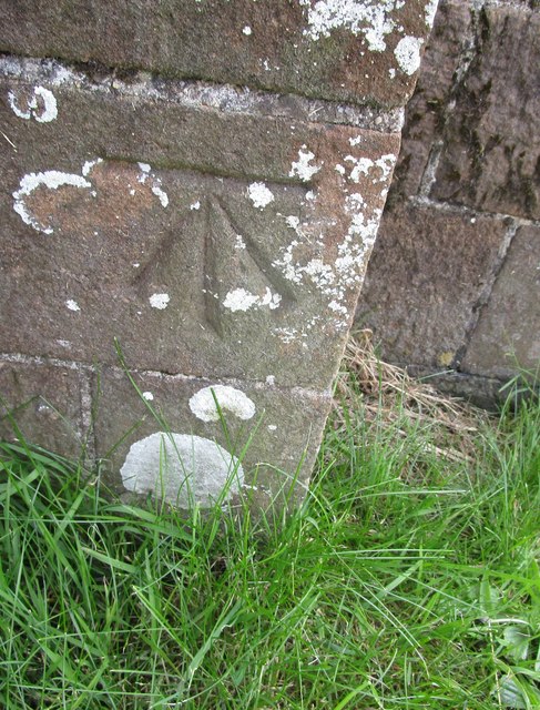
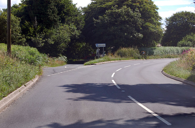
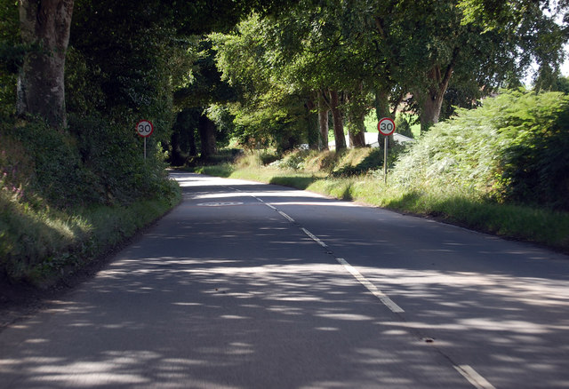
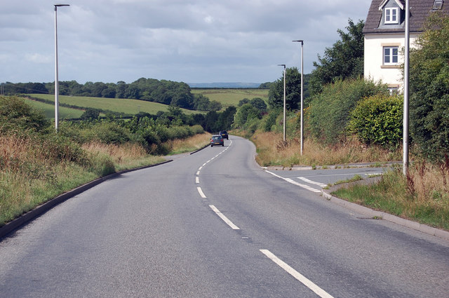
Berner's Cross
Settlement in Devon Torridge
England
Berner's Cross
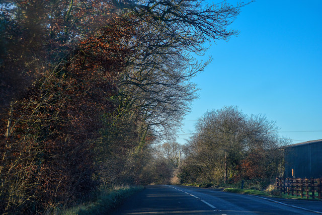
Berner's Cross is a small village located in the county of Devon, England. Situated in the South West region of the country, it lies approximately 6 miles northwest of the bustling market town of Okehampton. The village is nestled amidst the rolling hills and picturesque countryside that characterizes the region.
Berner's Cross is a close-knit community with a population of around 300 residents. It exudes a charming and tranquil atmosphere, perfect for those seeking a peaceful and idyllic lifestyle. The village is known for its tight-knit community spirit and friendly residents who take pride in their surroundings.
The village is surrounded by lush green fields and offers stunning views of the nearby Dartmoor National Park. The park provides ample opportunities for outdoor enthusiasts to explore the natural beauty of the area, with walking trails, cycling routes, and an abundance of wildlife.
Local amenities in Berner's Cross include a village hall, which serves as a hub for community activities, and a quaint local pub that offers a warm welcome to both residents and visitors.
For those seeking a taste of history, the nearby town of Okehampton boasts the ruins of a medieval castle, which offers a glimpse into the region's rich past.
Berner's Cross is well-connected to the rest of Devon and beyond, with good transport links to nearby towns and cities, making it an attractive option for those looking to escape the hustle and bustle of city life while still being within reach of essential amenities.
If you have any feedback on the listing, please let us know in the comments section below.
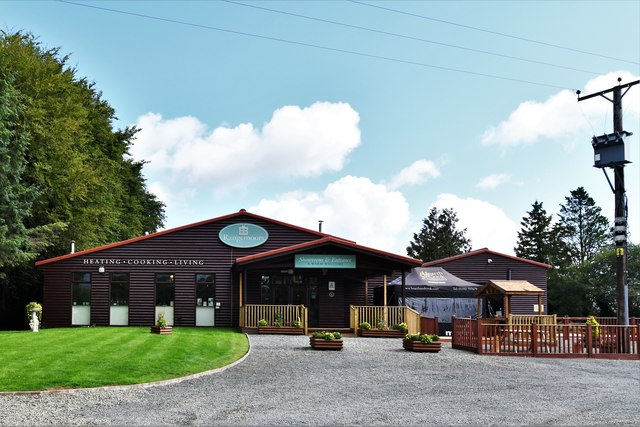
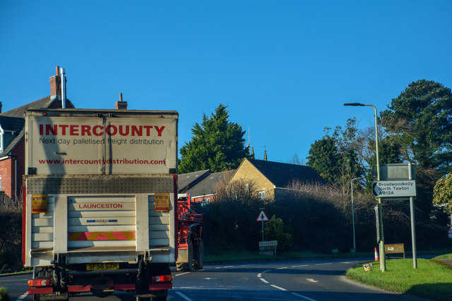
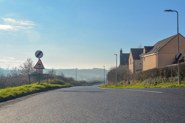
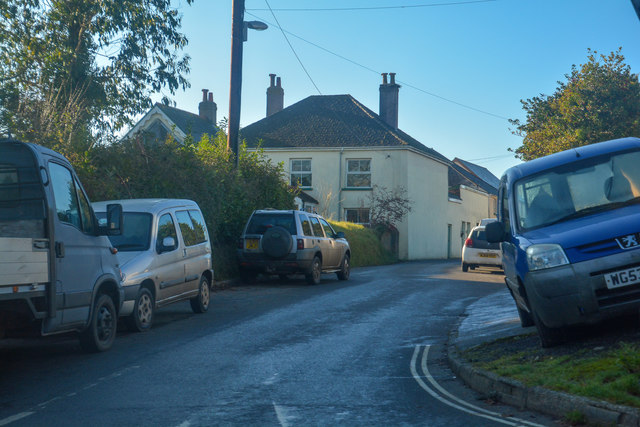
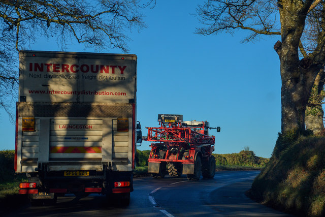
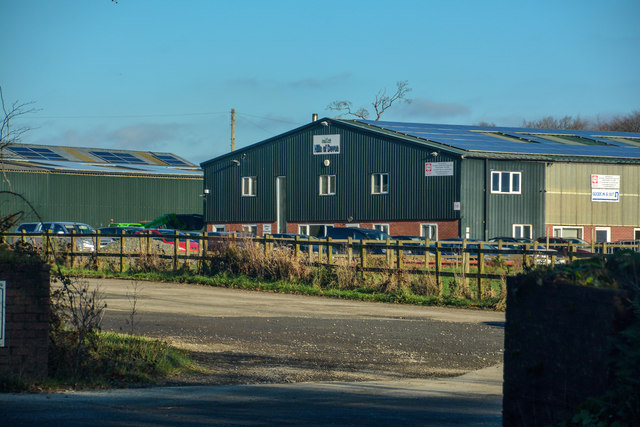
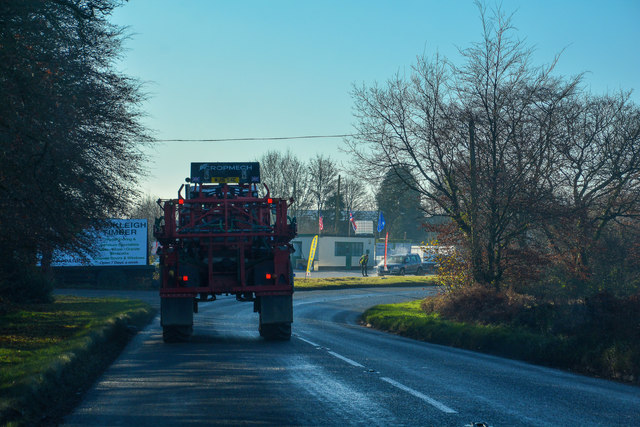
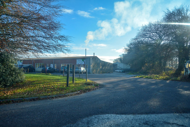
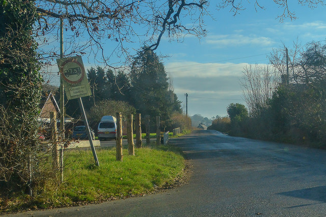
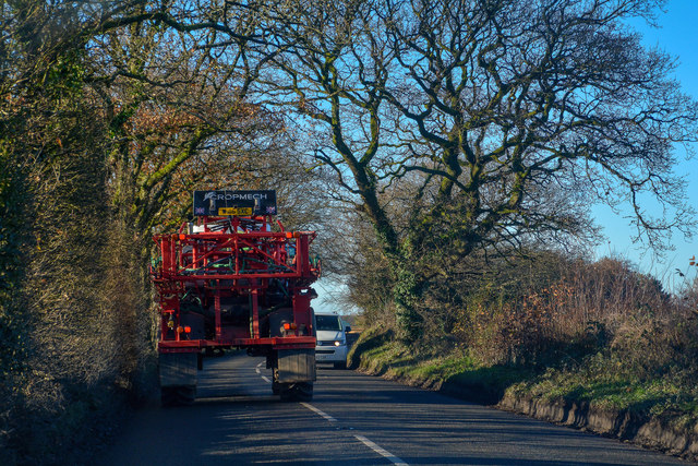
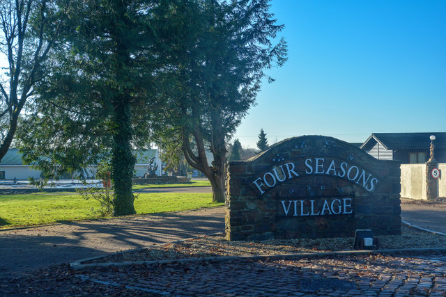
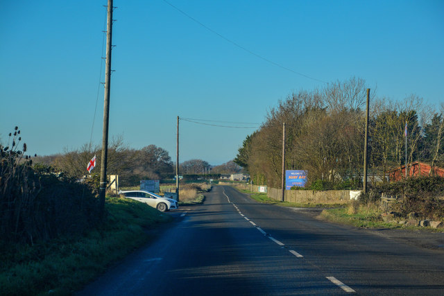
Berner's Cross Images
Images are sourced within 2km of 50.864229/-3.948125 or Grid Reference SS6309. Thanks to Geograph Open Source API. All images are credited.
Berner's Cross is located at Grid Ref: SS6309 (Lat: 50.864229, Lng: -3.948125)
Administrative County: Devon
District: Torridge
Police Authority: Devon and Cornwall
What 3 Words
///reboot.sports.suggested. Near Winkleigh, Devon
Nearby Locations
Related Wikis

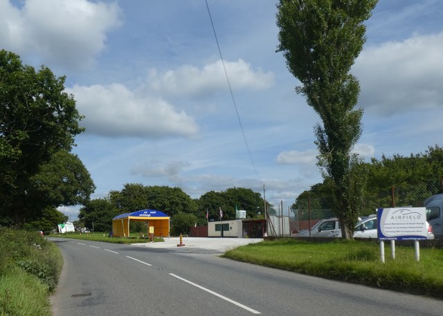
RAF Winkleigh
Royal Air Force Winkleigh, or more simply RAF Winkleigh, is a former Royal Air Force satellite station located near to Winkleigh, Devon and south of Barnstaple...

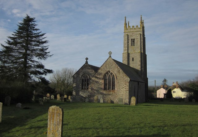
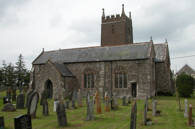
Church of All Saints, Winkleigh
The Church of All Saints is a Church of England parish church in Winkleigh, Devon. The church is a Grade I listed building. == History == The earliest...

Winkleigh
Winkleigh is a civil parish and small village in Devon, England. It is part of the local government area of Torridge District Council. The population of...

Wembworthy
Wembworthy is a small village, parish and former manor in Mid-Devon, England. It is situated in the valley of the River Taw, 8 miles north-east of the...
Broadwoodkelly
Broadwoodkelly is a village and civil parish in the West Devon district of Devon, England. According to the 2001 census it had a population of 218. The...
Ashreigney
Ashreigney is a village and civil parish in the Torridge district of Devon, England, about 15 miles (24 km) south of the town of Barnstaple. According...

Brushford, Devon
Brushford is a village and civil parish in the Mid Devon district of Devon in England. According to the 2001 census it had a population of 59. The village...

Bondleigh
Bondleigh is a village and civil parish in the West Devon district of Devon, England, on the River Taw, north of North Tawton. According to the 2011 census...
Nearby Amenities
Located within 500m of 50.864229,-3.948125Have you been to Berner's Cross?
Leave your review of Berner's Cross below (or comments, questions and feedback).