Winkleigh

Civil Parish in Devon Torridge

England

Winkleigh

Ordnance Survey Cut Mark This OS cut mark can be found on the north face of All Saints Church. It marks a point 171.231m above mean sea level.
Ordnance Survey Cut Mark Credit: Adrian Dust

Winkleigh is a civil parish located in the district of West Devon, in the county of Devon, England. Situated on the edge of Dartmoor National Park, it is a small rural village with a population of approximately 1,000 residents. The village is surrounded by picturesque countryside, offering stunning views and a peaceful atmosphere.

Winkleigh has a rich history dating back to the Domesday Book, where it was mentioned as "Winclege." The village is known for its historical buildings, including the 15th-century Church of All Saints, which is a prominent landmark in the area. The church features beautiful architectural elements and is a popular spot for visitors.

In terms of amenities, Winkleigh offers a range of facilities to cater to the needs of its residents. These include a primary school, a village shop, a post office, a pub, and a community hall. The village also hosts a weekly market, providing locals with fresh produce and artisan goods.

Nature enthusiasts can take advantage of the surrounding countryside, which offers ample opportunities for outdoor activities such as walking, cycling, and horse riding. The Tarka Trail, a popular long-distance footpath, passes through the village, attracting hikers and nature lovers.

Overall, Winkleigh is a charming rural village with a strong sense of community and a range of amenities. Its idyllic location and historical charm make it an attractive place to live or visit for those seeking a peaceful countryside experience.

If you have any feedback on the listing, please let us know in the comments section below.
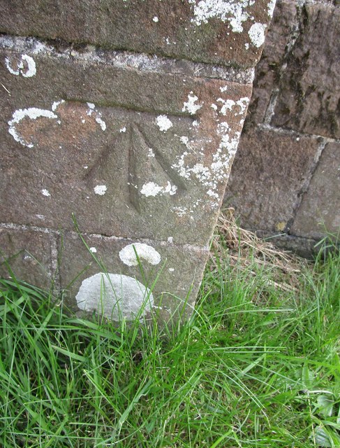
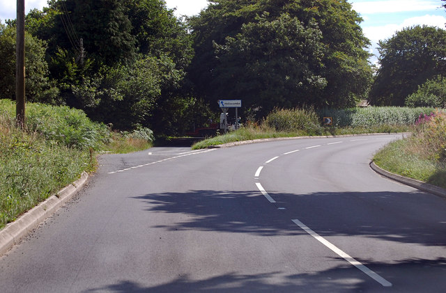
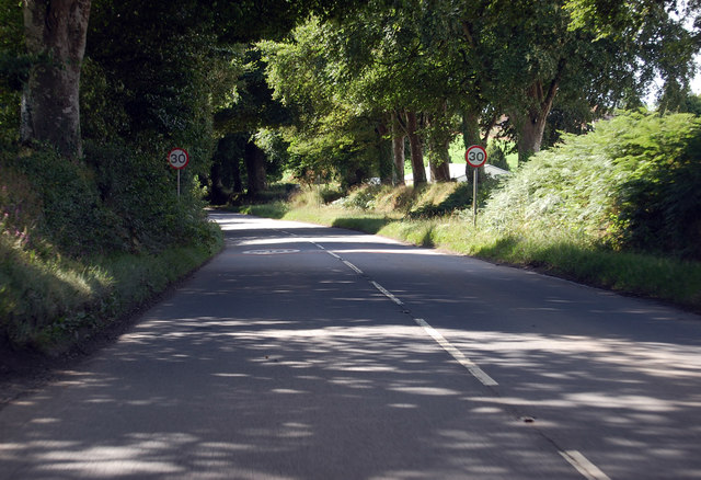
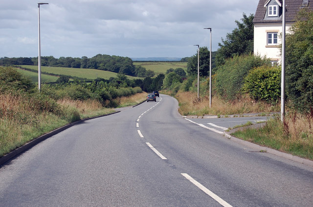
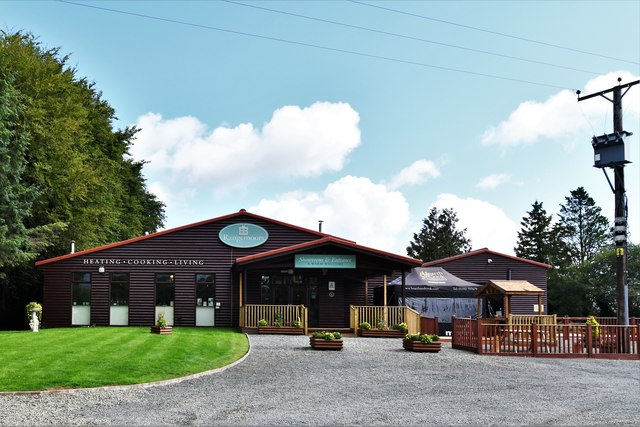
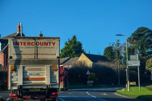
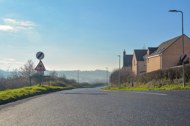
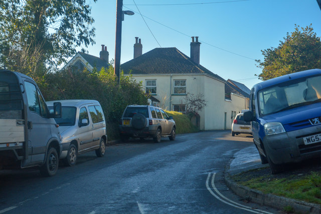
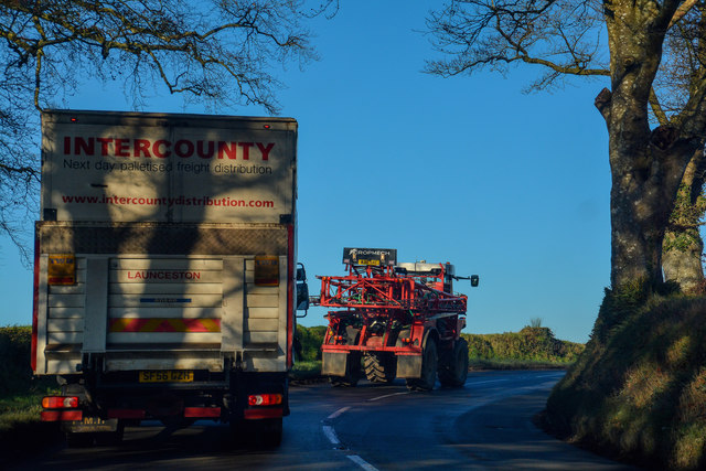
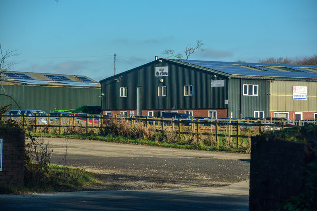
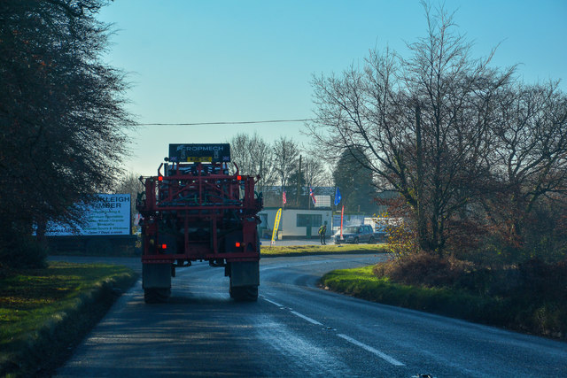
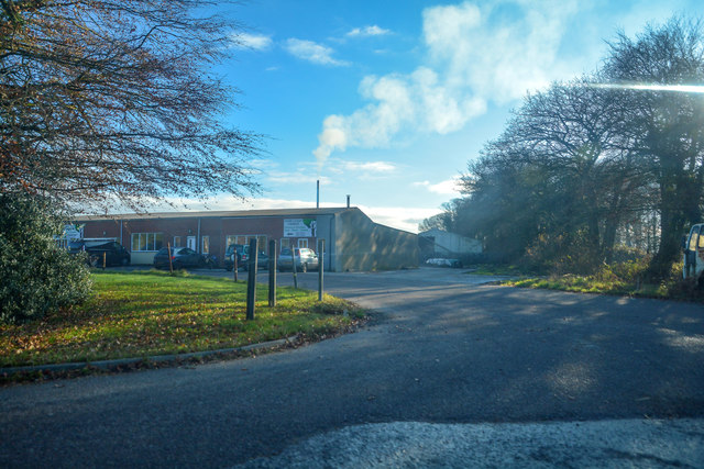
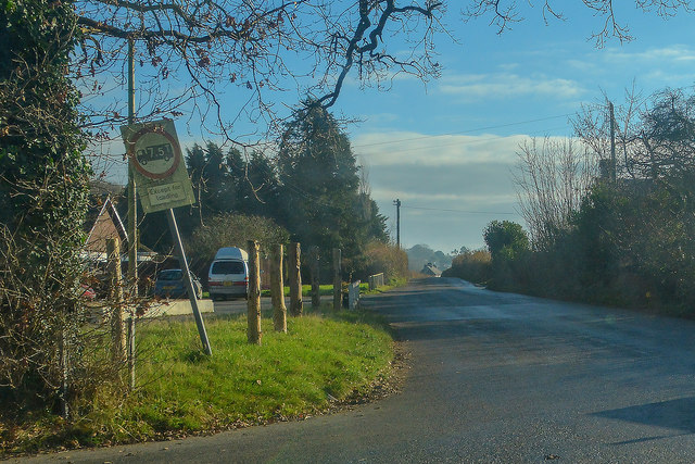
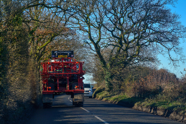
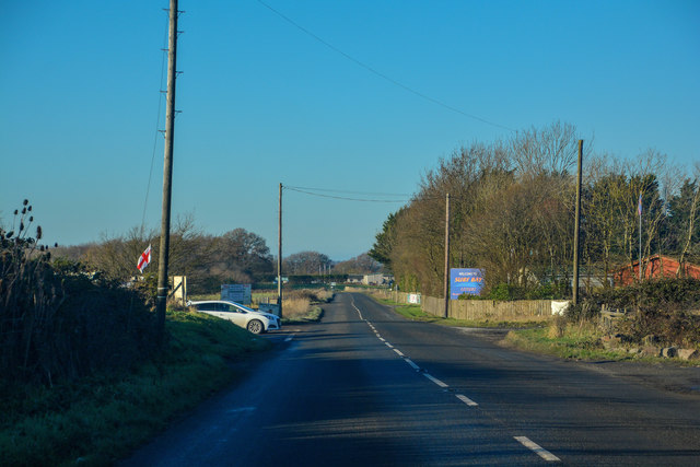
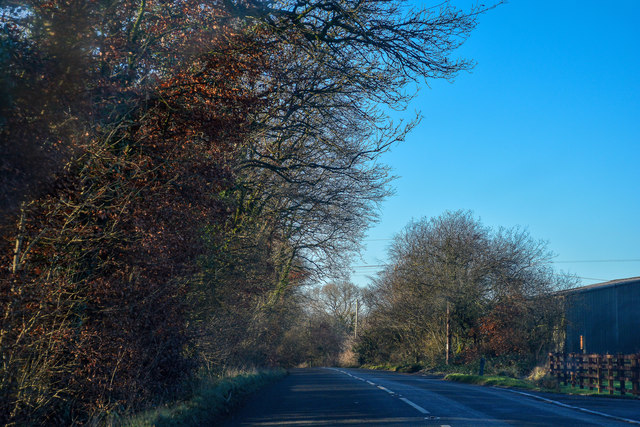
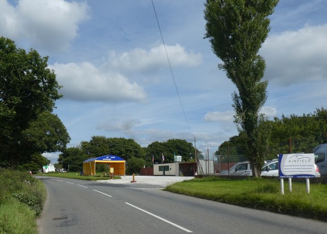
Winkleigh Images

Images are sourced within 2km of 50.865118/-3.944187 or Grid Reference SS6309. Thanks to Geograph Open Source API. All images are credited.

Ordnance Survey Cut Mark This OS cut mark can be found on the north face of All Saints Church. It marks a point 171.231m above mean sea level.
Ordnance Survey Cut Mark
This OS cut mark can be found on the north face of All Saints Church. It marks a point 171.231m above mean sea level.
A3124 junction to Hollocombe This junction is on a sharp bend towards Winkleigh.
A3124 junction to Hollocombe
This junction is on a sharp bend towards Winkleigh.
A3214 approaching Winkleigh 30 M.P.H. limit ahead.
A3214 approaching Winkleigh
30 M.P.H. limit ahead.
A3124 junction with Elms Meadow, Winkleigh Elms Meadow is a new development of houses.
A3124 junction with Elms Meadow, Winkleigh
Elms Meadow is a new development of houses.
Winkleigh: Rangemoors Fireplace Store
Winkleigh : The B3220 The road heads into Winkleigh.
Winkleigh : The B3220
The road heads into Winkleigh.
Winkleigh : The A3124 Looking along the A3214.
Winkleigh : The A3124
Looking along the A3214.
Winkleigh : Exeter Road Exeter Road off the A3124.
Winkleigh : Exeter Road
Exeter Road off the A3124.
Winkleigh : The A3124 Looking along the A3124 through the Winkleigh parish.
Winkleigh : The A3124
Looking along the A3124 through the Winkleigh parish.
Winkleigh : Hills of Devon Looking towards business units in Winkleigh.
Winkleigh : Hills of Devon
Looking towards business units in Winkleigh.
Winkleigh : The A3124 Looking along the A3124 through the Winkleigh parish.
Winkleigh : The A3124
Looking along the A3124 through the Winkleigh parish.
Winkleigh : Winkleigh Timber The entrance into Winkleigh Timber.
Winkleigh : Winkleigh Timber
The entrance into Winkleigh Timber.
Winkleigh : Torrington Road Looking along Torrington Road off the A3124.
Winkleigh : Torrington Road
Looking along Torrington Road off the A3124.
Winkleigh : The A3124 Looking along the A3124 through the Winkleigh parish.
Winkleigh : The A3124
Looking along the A3124 through the Winkleigh parish.
Winleigh : Four Seasons Village Residential units on the outskirts of Winkleigh.
Winleigh : Four Seasons Village
Residential units on the outskirts of Winkleigh.
Winkleigh : The A3124 Heading through the parish of Winkleigh.
Winkleigh : The A3124
Heading through the parish of Winkleigh.
Winkleigh : The A3124 Heading through the parish of Winkleigh.
Winkleigh : The A3124
Heading through the parish of Winkleigh.
Car wash on edge of Winkleigh
Show me another place!

Winkleigh is located at Grid Ref: SS6309 (Lat: 50.865118, Lng: -3.944187)

Administrative County: Devon

District: Torridge

Police Authority: Devon & Cornwall

What 3 Words

///galloped.fast.products. Near Winkleigh, Devon

Related Wikis

Church of All Saints, Winkleigh

The Church of All Saints is a Church of England parish church in Winkleigh, Devon. The church is a Grade I listed building. == History == The earliest...

RAF Winkleigh

Royal Air Force Winkleigh, or more simply RAF Winkleigh, is a former Royal Air Force satellite station located near to Winkleigh, Devon and south of Barnstaple...

Winkleigh

Winkleigh is a civil parish and small village in Devon, England. It is part of the local government area of Torridge District Council. The population of...

Wembworthy

Wembworthy is a small village, parish and former manor in Mid-Devon, England. It is situated in the valley of the River Taw, 8 miles north-east of the...

Nearby Amenities

Located within 500m of 50.865118,-3.944187
Berner's Cross
Place: locality
Source: OS_OpenData_StreetView
Wikidata: Q4894104
Lat/Long: 50.866359/-3.9436062
Direction: 185
Generator Method: photovoltaic
Generator Output Electricity: yes
Generator Solar Modules: 16
Generator Source: solar
Generator Type: solar_photovoltaic_panel
Location: roof
Power: generator
Lat/Long: 50.8632154/-3.9469386
Direction: 155
Generator Method: photovoltaic
Generator Output Electricity: yes
Generator Solar Modules: 10
Generator Source: solar
Generator Type: solar_photovoltaic_panel
Location: roof
Power: generator
Lat/Long: 50.865008/-3.9430032
Direction: 155
Generator Method: photovoltaic
Generator Output Electricity: yes
Generator Solar Modules: 10
Generator Source: solar
Generator Type: solar_photovoltaic_panel
Location: roof
Power: generator
Lat/Long: 50.865009/-3.9429988
Power: pole
Source: bing
Lat/Long: 50.8640809/-3.9485389
Power: pole
Source: bing
Lat/Long: 50.864494/-3.9483324
Poles: bipole
Power: pole
Source: bing
Transformer: distribution
Lat/Long: 50.8641732/-3.949011
Power: pole
Source: bing
Lat/Long: 50.8652227/-3.9440422
Power: pole
Source: bing
Lat/Long: 50.8651457/-3.9453766
Power: pole
Source: bing
Lat/Long: 50.8650535/-3.9468116
Power: pole
Source: bing
Lat/Long: 50.8653802/-3.9414203
Power: pole
Source: bing
Lat/Long: 50.8654344/-3.9404708
Power: pole
Source: bing
Lat/Long: 50.8654987/-3.9393362
Power: pole
Source: bing
Lat/Long: 50.8658457/-3.9376706
Post Box
Mapillary: 676615310244469
Post Box Type: lamp
Lat/Long: 50.8653982/-3.9442109
The data included in this document is from www.openstreetmap.org. The data is made available under ODbL.

Have you been to Winkleigh?

Leave your review of Winkleigh below (or comments, questions and feedback).