Northern Moor

Downs, Moorland in Devon Torridge

England

Northern Moor

Ordnance Survey Cut Mark This OS cut mark can be found on the north face of All Saints Church. It marks a point 171.231m above mean sea level.
Ordnance Survey Cut Mark Credit: Adrian Dust

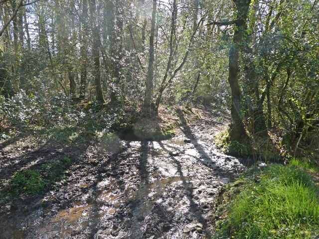
Northern Moor is a captivating region located in the county of Devon, England. Situated in the southwestern part of the country, Northern Moor offers a picturesque landscape characterized by rolling hills, sprawling downs, and expansive moorland. With its rich natural beauty, it has become a popular destination for nature enthusiasts and those seeking tranquility.

The area boasts an extensive network of footpaths and trails that allow visitors to explore its diverse terrain. From the gentle slopes of the downs to the rugged expanse of the moorland, there is something for everyone to enjoy. The downs feature lush grasslands interspersed with colorful wildflowers, providing a stunning backdrop for leisurely walks and picnics.

The moorland, on the other hand, offers a more rugged and untamed experience. Here, visitors can marvel at the vast stretches of heather and gorse, which carpet the landscape in vibrant hues. The moorland is also home to a variety of wildlife, including red deer, ponies, and various bird species, making it a haven for nature lovers and birdwatchers.

In addition to its natural beauty, Northern Moor is steeped in history and culture. The region is dotted with ancient archaeological sites, such as stone circles and burial mounds, which provide a glimpse into the area's past. There are also quaint villages and charming country pubs, where visitors can immerse themselves in the local charm and hospitality.

Overall, Northern Moor in Devon is a captivating destination that offers a harmonious blend of natural beauty, outdoor activities, and cultural experiences. Whether it's exploring the downs, trekking across the moorland, or delving into the region's rich history, visitors are sure to find something to captivate their senses and create lasting memories.

If you have any feedback on the listing, please let us know in the comments section below.

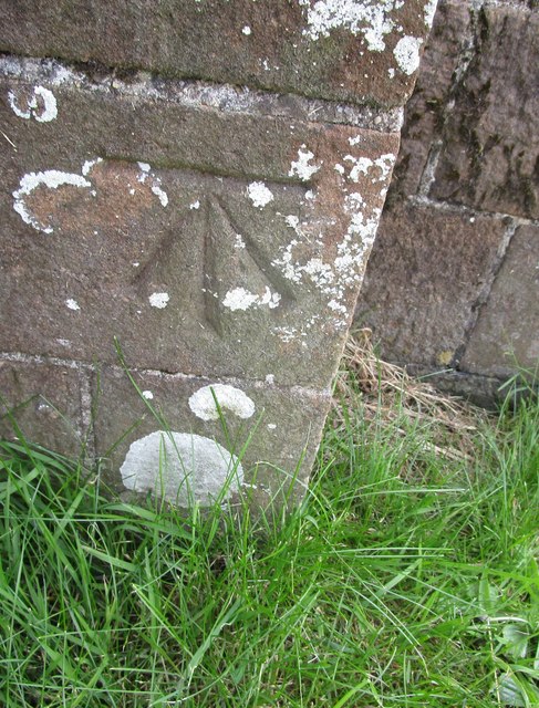
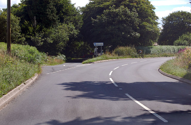
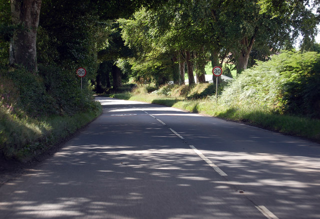
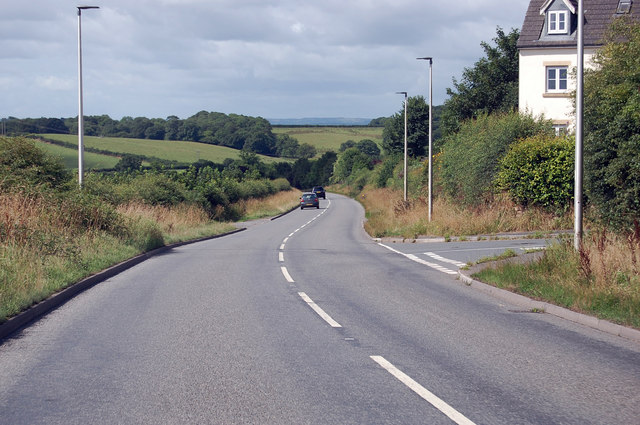
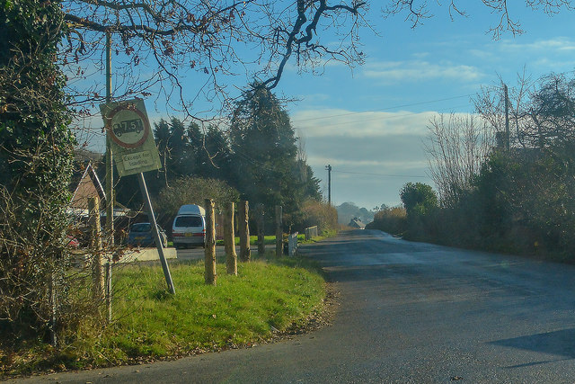
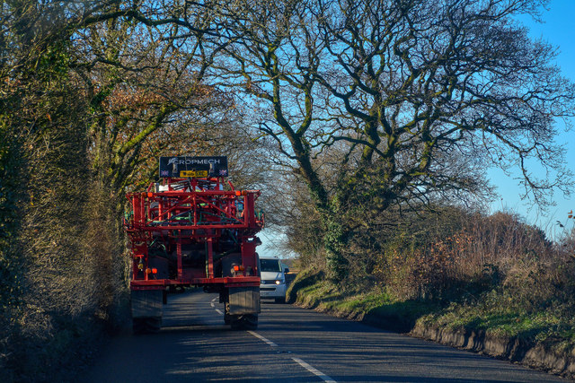
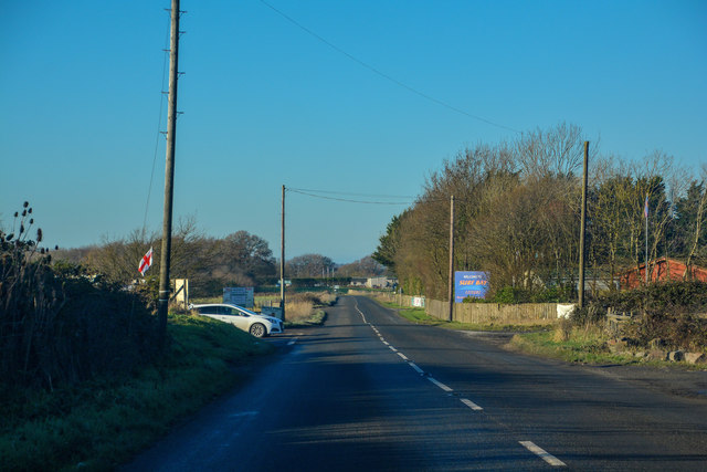
Northern Moor Images

Images are sourced within 2km of 50.864516/-3.9395676 or Grid Reference SS6309. Thanks to Geograph Open Source API. All images are credited.

Ordnance Survey Cut Mark This OS cut mark can be found on the north face of All Saints Church. It marks a point 171.231m above mean sea level.
Ordnance Survey Cut Mark
This OS cut mark can be found on the north face of All Saints Church. It marks a point 171.231m above mean sea level.
A3124 junction to Hollocombe This junction is on a sharp bend towards Winkleigh.
A3124 junction to Hollocombe
This junction is on a sharp bend towards Winkleigh.
A3214 approaching Winkleigh 30 M.P.H. limit ahead.
A3214 approaching Winkleigh
30 M.P.H. limit ahead.
A3124 junction with Elms Meadow, Winkleigh Elms Meadow is a new development of houses.
A3124 junction with Elms Meadow, Winkleigh
Elms Meadow is a new development of houses.
Winkleigh: Rangemoors Fireplace Store
Winkleigh : The B3220 The road heads into Winkleigh.
Winkleigh : The B3220
The road heads into Winkleigh.
Winkleigh : The A3124 Looking along the A3214.
Winkleigh : The A3124
Looking along the A3214.
Winkleigh : Exeter Road Exeter Road off the A3124.
Winkleigh : Exeter Road
Exeter Road off the A3124.
Winkleigh : The A3124 Looking along the A3124 through the Winkleigh parish.
Winkleigh : The A3124
Looking along the A3124 through the Winkleigh parish.
Winkleigh : Hills of Devon Looking towards business units in Winkleigh.
Winkleigh : Hills of Devon
Looking towards business units in Winkleigh.
Winkleigh : The A3124 Looking along the A3124 through the Winkleigh parish.
Winkleigh : The A3124
Looking along the A3124 through the Winkleigh parish.
Winkleigh : Winkleigh Timber The entrance into Winkleigh Timber.
Winkleigh : Winkleigh Timber
The entrance into Winkleigh Timber.
Winkleigh : Torrington Road Looking along Torrington Road off the A3124.
Winkleigh : Torrington Road
Looking along Torrington Road off the A3124.
Winkleigh : The A3124 Looking along the A3124 through the Winkleigh parish.
Winkleigh : The A3124
Looking along the A3124 through the Winkleigh parish.
Winleigh : Four Seasons Village Residential units on the outskirts of Winkleigh.
Winleigh : Four Seasons Village
Residential units on the outskirts of Winkleigh.
Winkleigh : The A3124 Heading through the parish of Winkleigh.
Winkleigh : The A3124
Heading through the parish of Winkleigh.
Car wash on edge of Winkleigh
Path and ford in Quarry Close Copse
Show me another place!

Northern Moor is located at Grid Ref: SS6309 (Lat: 50.864516, Lng: -3.9395676)

Administrative County: Devon

District: Torridge

Police Authority: Devon and Cornwall

What 3 Words

///grumbles.alright.stays. Near Winkleigh, Devon

Related Wikis

Church of All Saints, Winkleigh

The Church of All Saints is a Church of England parish church in Winkleigh, Devon. The church is a Grade I listed building. == History == The earliest...
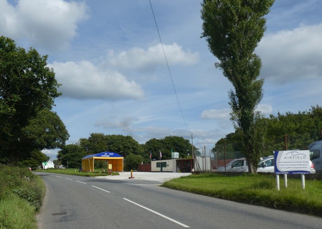
RAF Winkleigh

Royal Air Force Winkleigh, or more simply RAF Winkleigh, is a former Royal Air Force satellite station located near to Winkleigh, Devon and south of Barnstaple...

Winkleigh

Winkleigh is a civil parish and small village in Devon, England. It is part of the local government area of Torridge District Council. The population of...

Wembworthy

Wembworthy is a small village, parish and former manor in Mid-Devon, England. It is situated in the valley of the River Taw, 8 miles north-east of the...

Nearby Amenities

Located within 500m of 50.864516,-3.9395676
Berner's Cross
Place: locality
Source: OS_OpenData_StreetView
Wikidata: Q4894104
Lat/Long: 50.866359/-3.9436062
Direction: 150
Generator Method: photovoltaic
Generator Output Electricity: yes
Generator Solar Modules: 16
Generator Source: solar
Generator Type: solar_photovoltaic_panel
Location: roof
Power: generator
Lat/Long: 50.868718/-3.9378007
Direction: 155
Generator Method: photovoltaic
Generator Output Electricity: yes
Generator Solar Modules: 10
Generator Source: solar
Generator Type: solar_photovoltaic_panel
Location: roof
Power: generator
Lat/Long: 50.865008/-3.9430032
Direction: 155
Generator Method: photovoltaic
Generator Output Electricity: yes
Generator Solar Modules: 10
Generator Source: solar
Generator Type: solar_photovoltaic_panel
Location: roof
Power: generator
Lat/Long: 50.865009/-3.9429988
Power: pole
Source: bing
Lat/Long: 50.8652227/-3.9440422
Power: pole
Source: bing
Lat/Long: 50.8651457/-3.9453766
Power: pole
Source: bing
Lat/Long: 50.8653802/-3.9414203
Power: pole
Source: bing
Lat/Long: 50.8654344/-3.9404708
Power: pole
Source: bing
Lat/Long: 50.8654987/-3.9393362
Power: pole
Source: bing
Lat/Long: 50.8658457/-3.9376706
Power: pole
Source: bing
Lat/Long: 50.8661894/-3.9359728
Power: pole
Source: bing
Lat/Long: 50.8665144/-3.9344358
Post Box
Mapillary: 676615310244469
Post Box Type: lamp
Lat/Long: 50.8653982/-3.9442109
The data included in this document is from www.openstreetmap.org. The data is made available under ODbL.

Have you been to Northern Moor?

Leave your review of Northern Moor below (or comments, questions and feedback).