Starveland Copse
Wood, Forest in Devon Torridge
England
Starveland Copse
Starveland Copse is a picturesque wood located in the county of Devon, England. Spread across an area of approximately 50 hectares, this charming forest is a haven for nature enthusiasts and a popular destination for outdoor activities.
The copse is composed primarily of mature broadleaf trees, including oak, beech, and ash, which create a dense canopy, providing shade and shelter for a variety of flora and fauna. The forest floor is adorned with a carpet of bluebells during spring, creating a stunning and vibrant display of colors.
Traversing through Starveland Copse, visitors will discover a network of well-maintained walking trails, allowing them to explore the woodland at their own pace. These trails wind through the forest, taking visitors past babbling brooks, small ponds, and tranquil clearings, offering ample opportunities for relaxation and wildlife spotting.
The copse is home to a diverse range of wildlife, including deer, badgers, and a multitude of bird species. Birdwatchers will be delighted to spot woodpeckers, tawny owls, and various songbirds, making it an ideal spot for birdwatching enthusiasts.
Starveland Copse is a peaceful retreat away from the hustle and bustle of urban life. The tranquil ambiance and natural beauty of the copse make it a perfect place for picnics, photography, or simply unwinding amidst nature. Its accessibility from nearby towns and villages makes it a popular destination for both locals and tourists, offering a welcome respite in the heart of Devon's countryside.
If you have any feedback on the listing, please let us know in the comments section below.
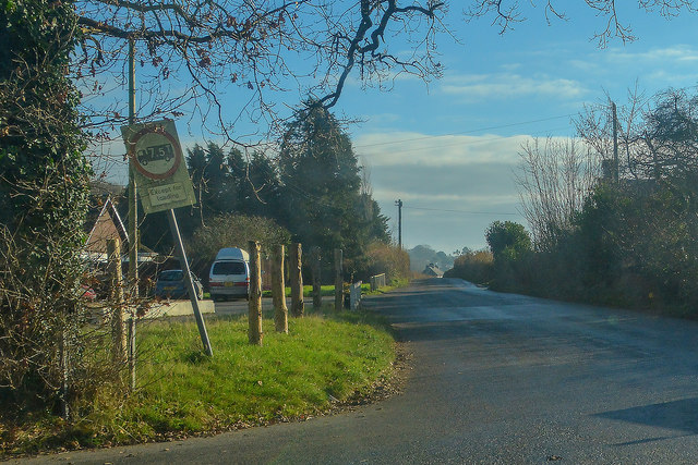
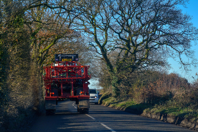
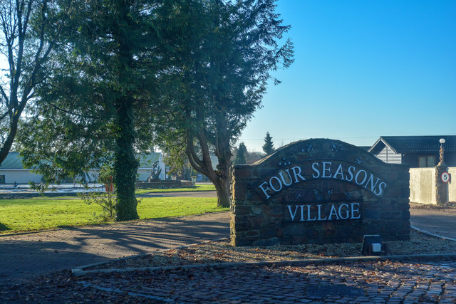
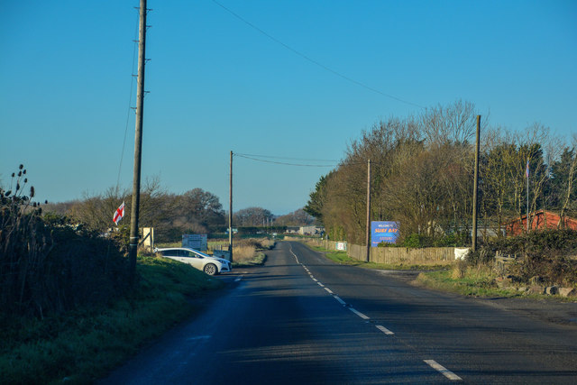
Starveland Copse Images
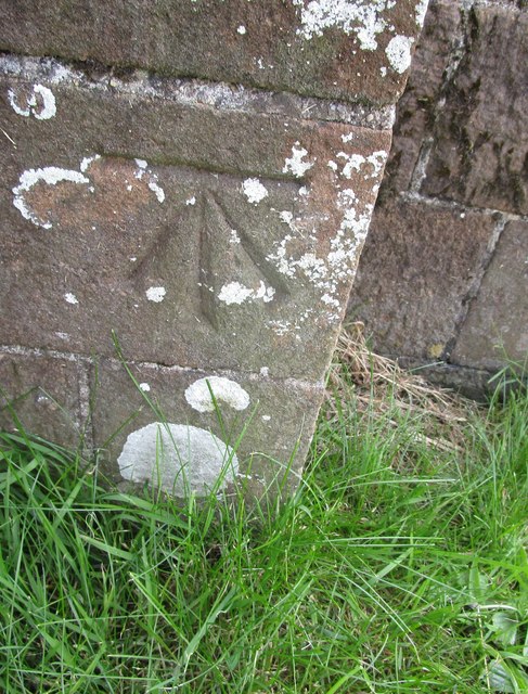
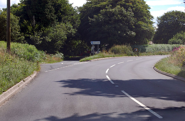
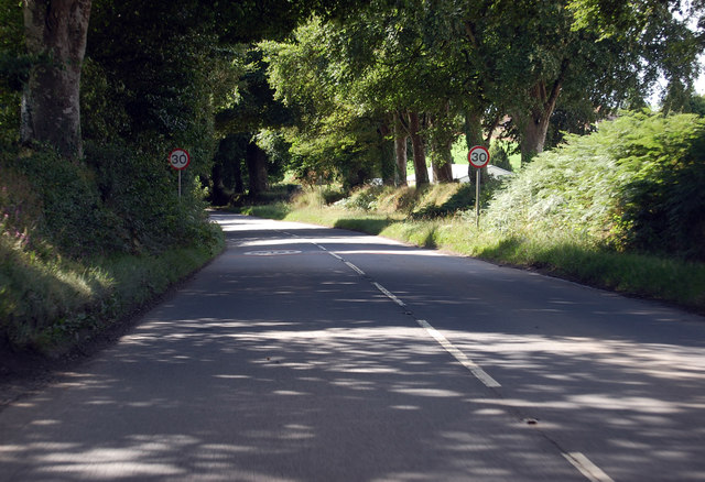
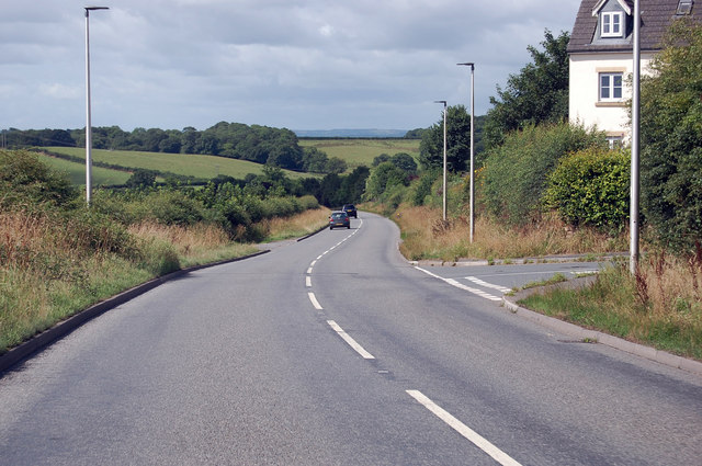
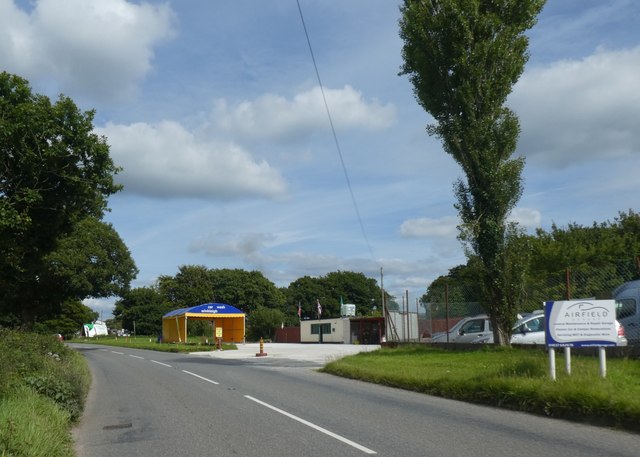
Images are sourced within 2km of 50.871016/-3.9386152 or Grid Reference SS6309. Thanks to Geograph Open Source API. All images are credited.
Starveland Copse is located at Grid Ref: SS6309 (Lat: 50.871016, Lng: -3.9386152)
Administrative County: Devon
District: Torridge
Police Authority: Devon and Cornwall
What 3 Words
///decorator.shot.inherits. Near Winkleigh, Devon
Nearby Locations
Related Wikis

RAF Winkleigh
Royal Air Force Winkleigh, or more simply RAF Winkleigh, is a former Royal Air Force satellite station located near to Winkleigh, Devon and south of Barnstaple...

Church of All Saints, Winkleigh
The Church of All Saints is a Church of England parish church in Winkleigh, Devon. The church is a Grade I listed building. == History == The earliest...

Winkleigh
Winkleigh is a civil parish and small village in Devon, England. It is part of the local government area of Torridge District Council. The population of...

Wembworthy
Wembworthy is a small village, parish and former manor in Mid-Devon, England. It is situated in the valley of the River Taw, 8 miles north-east of the...
Nearby Amenities
Located within 500m of 50.871016,-3.9386152Have you been to Starveland Copse?
Leave your review of Starveland Copse below (or comments, questions and feedback).