Stickpark Plantation

Wood, Forest in Devon Torridge

England

Stickpark Plantation

Ordnance Survey Cut Mark This OS cut mark can be found on the north face of All Saints Church. It marks a point 171.231m above mean sea level.
Ordnance Survey Cut Mark Credit: Adrian Dust

Stickpark Plantation is a picturesque woodland area located in Devon, England. This enchanting forest is spread across a vast expanse, covering several acres of land. It is situated in close proximity to the town of Devon, making it easily accessible for both locals and tourists.

The plantation is predominantly composed of deciduous trees, which create a stunning canopy over the forest floor. From towering oak and beech trees to elegant birch and chestnut trees, the variety of species found here adds to the natural beauty of the area. The woodland floor is adorned with a rich carpet of moss, ferns, and wildflowers, painting a colorful and vibrant scene throughout the seasons.

Stickpark Plantation offers a haven for wildlife enthusiasts, as it is home to a diverse range of fauna. Visitors may spot various species of birds, including woodpeckers, owls, and songbirds, as they flit through the treetops. Squirrels and rabbits are commonly seen scurrying amongst the undergrowth, while deer gracefully roam through the forest, adding a touch of tranquility to the surroundings.

For those seeking recreational activities, Stickpark Plantation provides an idyllic setting for hiking, walking, and picnicking. There are well-maintained trails that wind through the woodland, allowing visitors to immerse themselves in the peaceful ambiance and enjoy the breathtaking views. The plantation also offers designated areas for picnics, where families and friends can relax and enjoy the serenity of nature.

Overall, Stickpark Plantation is a hidden gem in Devon, offering a glimpse into the beauty and tranquility of the British countryside. Whether it is for a leisurely stroll, birdwatching, or simply seeking solace amidst nature, this woodland paradise provides an unforgettable experience for all who visit.

If you have any feedback on the listing, please let us know in the comments section below.

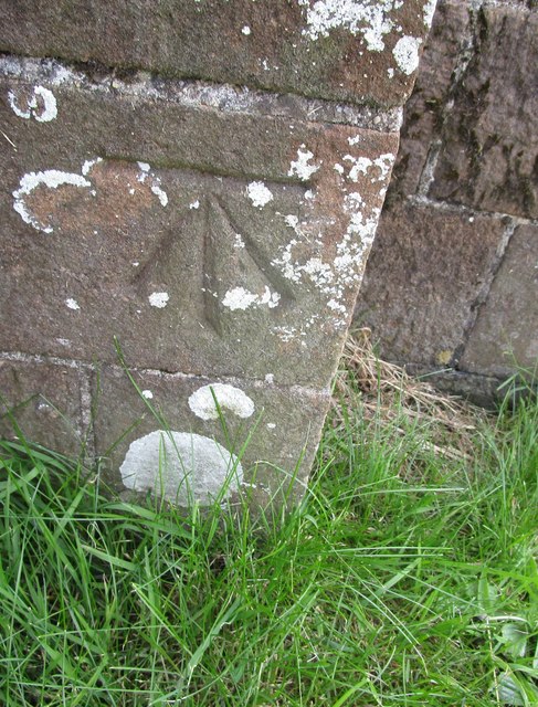
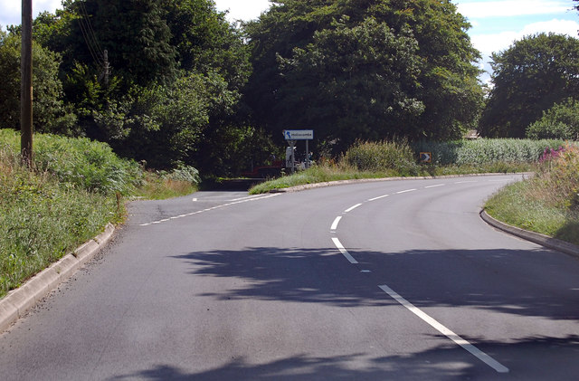
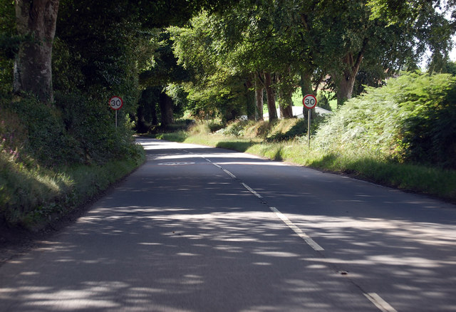
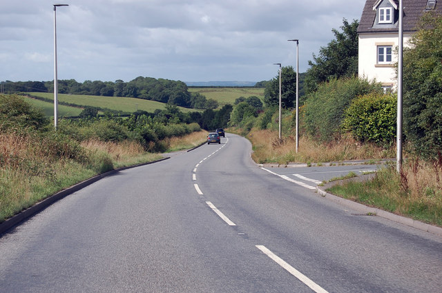
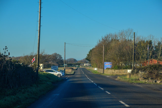
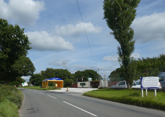
Stickpark Plantation Images

Images are sourced within 2km of 50.862181/-3.9382771 or Grid Reference SS6308. Thanks to Geograph Open Source API. All images are credited.

Ordnance Survey Cut Mark This OS cut mark can be found on the north face of All Saints Church. It marks a point 171.231m above mean sea level.
Ordnance Survey Cut Mark
This OS cut mark can be found on the north face of All Saints Church. It marks a point 171.231m above mean sea level.
A3124 junction to Hollocombe This junction is on a sharp bend towards Winkleigh.
A3124 junction to Hollocombe
This junction is on a sharp bend towards Winkleigh.
A3214 approaching Winkleigh 30 M.P.H. limit ahead.
A3214 approaching Winkleigh
30 M.P.H. limit ahead.
A3124 junction with Elms Meadow, Winkleigh Elms Meadow is a new development of houses.
A3124 junction with Elms Meadow, Winkleigh
Elms Meadow is a new development of houses.
Winkleigh : The B3220 Looking along the B3220 through the Winkleigh parish.
Winkleigh : The B3220
Looking along the B3220 through the Winkleigh parish.
Winkleigh : Track A track heading to Graysbridge off the B3220.
Winkleigh : Track
A track heading to Graysbridge off the B3220.
Winkleigh : The B3220 The road heads into Winkleigh.
Winkleigh : The B3220
The road heads into Winkleigh.
Winkleigh : The A3124 Looking along the A3214.
Winkleigh : The A3124
Looking along the A3214.
Winkleigh : Exeter Road Exeter Road off the A3124.
Winkleigh : Exeter Road
Exeter Road off the A3124.
Winkleigh : The A3124 Looking along the A3124 through the Winkleigh parish.
Winkleigh : The A3124
Looking along the A3124 through the Winkleigh parish.
Winkleigh : Hills of Devon Looking towards business units in Winkleigh.
Winkleigh : Hills of Devon
Looking towards business units in Winkleigh.
Winkleigh : The A3124 Looking along the A3124 through the Winkleigh parish.
Winkleigh : The A3124
Looking along the A3124 through the Winkleigh parish.
Winkleigh : Winkleigh Timber The entrance into Winkleigh Timber.
Winkleigh : Winkleigh Timber
The entrance into Winkleigh Timber.
Winkleigh : Torrington Road Looking along Torrington Road off the A3124.
Winkleigh : Torrington Road
Looking along Torrington Road off the A3124.
Winkleigh : The A3124 Looking along the A3124 through the Winkleigh parish.
Winkleigh : The A3124
Looking along the A3124 through the Winkleigh parish.
Winleigh : Four Seasons Village Residential units on the outskirts of Winkleigh.
Winleigh : Four Seasons Village
Residential units on the outskirts of Winkleigh.
Winkleigh : The A3124 Heading through the parish of Winkleigh.
Winkleigh : The A3124
Heading through the parish of Winkleigh.
Car wash on edge of Winkleigh
Show me another place!

Stickpark Plantation is located at Grid Ref: SS6308 (Lat: 50.862181, Lng: -3.9382771)

Administrative County: Devon

District: Torridge

Police Authority: Devon and Cornwall

What 3 Words

///unscathed.storybook.badly. Near Winkleigh, Devon

Related Wikis

Church of All Saints, Winkleigh

The Church of All Saints is a Church of England parish church in Winkleigh, Devon. The church is a Grade I listed building. == History == The earliest...

Winkleigh

Winkleigh is a civil parish and small village in Devon, England. It is part of the local government area of Torridge District Council. The population of...

RAF Winkleigh

Royal Air Force Winkleigh, or more simply RAF Winkleigh, is a former Royal Air Force satellite station located near to Winkleigh, Devon and south of Barnstaple...

Wembworthy

Wembworthy is a small village, parish and former manor in Mid-Devon, England. It is situated in the valley of the River Taw, 8 miles north-east of the...

Nearby Amenities

Located within 500m of 50.862181,-3.9382771
Direction: 155
Generator Method: photovoltaic
Generator Output Electricity: yes
Generator Solar Modules: 10
Generator Source: solar
Generator Type: solar_photovoltaic_panel
Location: roof
Power: generator
Lat/Long: 50.865008/-3.9430032
Direction: 155
Generator Method: photovoltaic
Generator Output Electricity: yes
Generator Solar Modules: 10
Generator Source: solar
Generator Type: solar_photovoltaic_panel
Location: roof
Power: generator
Lat/Long: 50.865009/-3.9429988
Power: pole
Source: bing
Lat/Long: 50.8653802/-3.9414203
Power: pole
Source: bing
Lat/Long: 50.8654344/-3.9404708
Power: pole
Source: bing
Lat/Long: 50.8654987/-3.9393362
Power: pole
Source: bing
Lat/Long: 50.8658457/-3.9376706
Power: pole
Source: bing
Lat/Long: 50.8661894/-3.9359728
The data included in this document is from www.openstreetmap.org. The data is made available under ODbL.

Have you been to Stickpark Plantation?

Leave your review of Stickpark Plantation below (or comments, questions and feedback).