Littlewood Copse
Wood, Forest in Devon Torridge
England
Littlewood Copse
Littlewood Copse is a charming wooded area located in Devon, England. Situated in the heart of the county, this copse is a haven for nature lovers and those seeking solace in the midst of lush greenery. Spanning approximately 50 acres, it offers visitors a unique opportunity to immerse themselves in the beauty of the natural world.
The copse is predominantly made up of a mixture of deciduous trees, including oak, beech, and ash, which create a picturesque landscape throughout the year. In spring, the copse comes alive with a vibrant display of bluebells and wildflowers, painting the forest floor in a sea of color. During the autumn months, the trees transform into a breathtaking spectacle of golden hues, attracting photographers and nature enthusiasts alike.
The copse is home to a diverse range of wildlife, making it a popular destination for birdwatchers and animal lovers. Visitors may have the chance to spot various species of birds, such as woodpeckers, owls, and finches, as well as small mammals like squirrels and rabbits. The copse also boasts a network of well-maintained footpaths, allowing visitors to explore the area while enjoying tranquil walks and taking in the sights and sounds of nature.
Littlewood Copse is easily accessible, with ample parking available nearby. It offers a peaceful retreat away from the hustle and bustle of everyday life, providing a space for relaxation, contemplation, and connection with the natural world. Whether it's a leisurely stroll, a picnic amongst the trees, or simply a moment of quiet reflection, Littlewood Copse offers a sanctuary for all who visit.
If you have any feedback on the listing, please let us know in the comments section below.
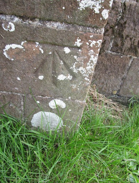
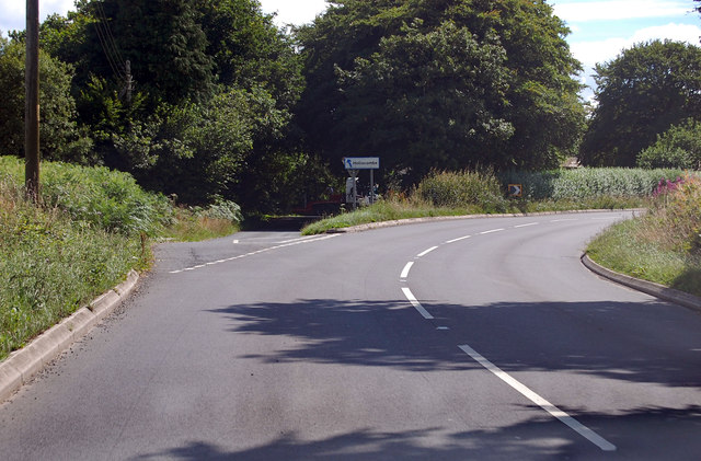
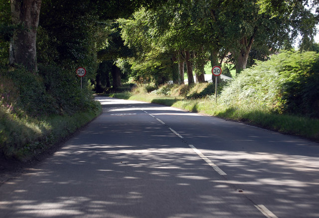
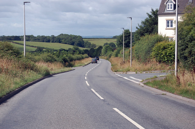
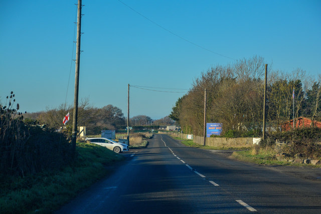
Littlewood Copse Images
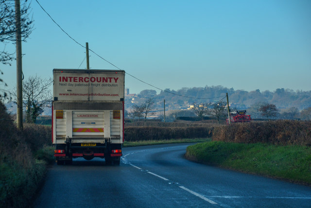
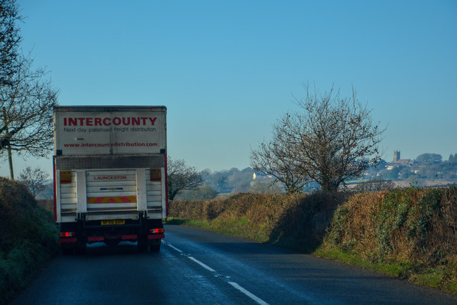
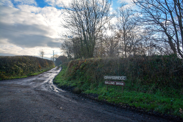
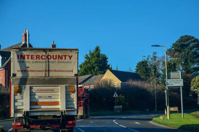
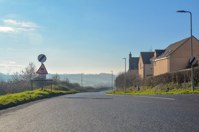
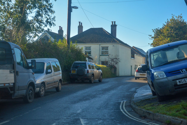
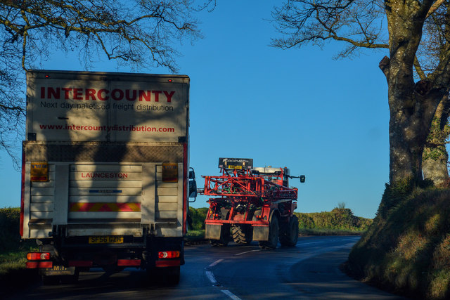
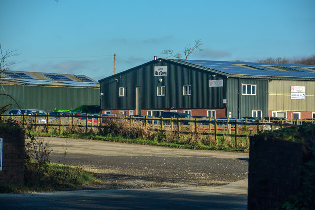
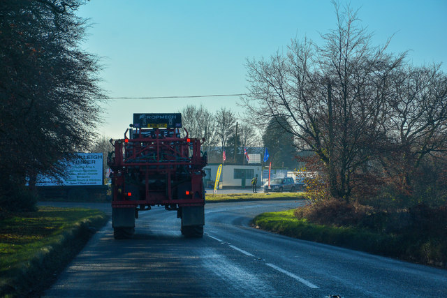
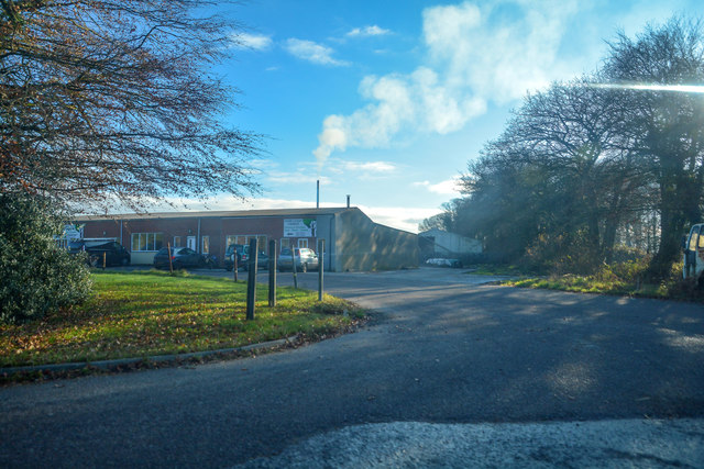
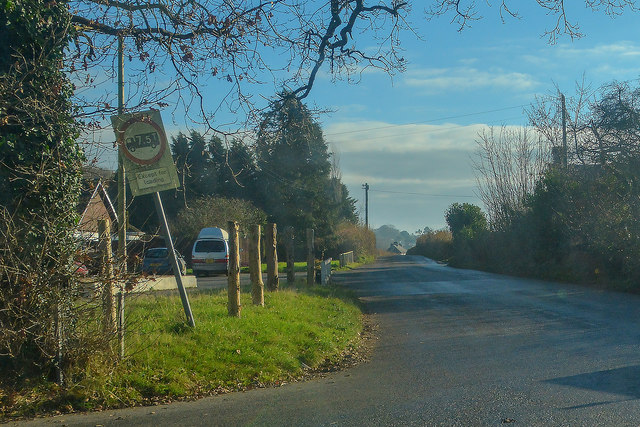
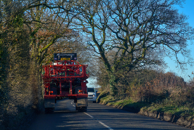
Images are sourced within 2km of 50.861262/-3.9340328 or Grid Reference SS6308. Thanks to Geograph Open Source API. All images are credited.
Littlewood Copse is located at Grid Ref: SS6308 (Lat: 50.861262, Lng: -3.9340328)
Administrative County: Devon
District: Torridge
Police Authority: Devon and Cornwall
What 3 Words
///trading.otherwise.writers. Near Winkleigh, Devon
Nearby Locations
Related Wikis

Church of All Saints, Winkleigh
The Church of All Saints is a Church of England parish church in Winkleigh, Devon. The church is a Grade I listed building. == History == The earliest...

Winkleigh
Winkleigh is a civil parish and small village in Devon, England. It is part of the local government area of Torridge District Council. The population of...

RAF Winkleigh
Royal Air Force Winkleigh, or more simply RAF Winkleigh, is a former Royal Air Force satellite station located near to Winkleigh, Devon and south of Barnstaple...

Wembworthy
Wembworthy is a small village, parish and former manor in Mid-Devon, England. It is situated in the valley of the River Taw, 8 miles north-east of the...
Have you been to Littlewood Copse?
Leave your review of Littlewood Copse below (or comments, questions and feedback).