Ley Copse
Wood, Forest in Devon Torridge
England
Ley Copse
Ley Copse, located in Devon, England, is a picturesque wood or forest that covers a significant area of land. It is known for its natural beauty and serene atmosphere, attracting visitors from near and far.
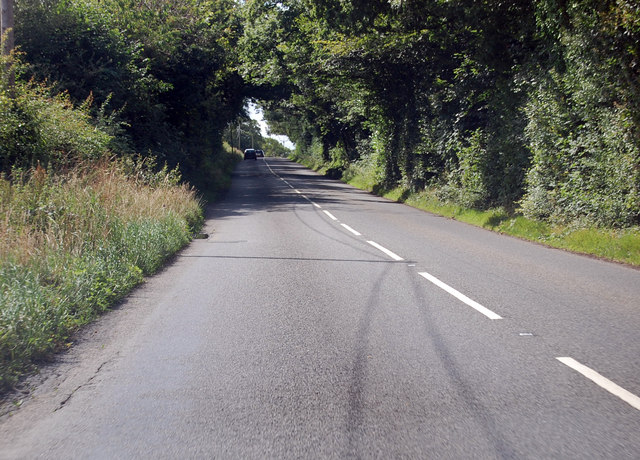
The copse is characterized by a dense canopy of tall trees, predominantly oak and beech, which provide ample shade and create a tranquil environment. The lush undergrowth is abundant with various species of wildflowers, adding vibrant colors to the landscape throughout the year. The forest floor is covered with a thick layer of fallen leaves, creating a soft and natural carpet.
Walking through Ley Copse, one can witness the rich biodiversity it supports. The woods are home to a wide range of wildlife, including deer, squirrels, badgers, and a variety of bird species. Birdsong fills the air, especially in the early morning and evening, creating a harmonious symphony of nature.
The copse offers several walking trails, allowing visitors to explore its hidden gems. These paths wind through the trees, revealing stunning vistas and breathtaking viewpoints. The tranquility of the forest provides an ideal setting for nature enthusiasts, photographers, and those seeking solace in the beauty of the natural world.
Ley Copse is a cherished natural treasure in Devon, providing a haven for both flora and fauna. Its serene ambiance and diverse ecosystems make it a must-visit destination for anyone seeking to connect with nature and experience the wonders of a true English woodland.
If you have any feedback on the listing, please let us know in the comments section below.
Ley Copse Images
Images are sourced within 2km of 50.856991/-3.9350638 or Grid Reference SS6308. Thanks to Geograph Open Source API. All images are credited.
Ley Copse is located at Grid Ref: SS6308 (Lat: 50.856991, Lng: -3.9350638)
Administrative County: Devon
District: Torridge
Police Authority: Devon and Cornwall
What 3 Words
///studio.pulse.scribbled. Near Winkleigh, Devon
Nearby Locations
Related Wikis

Church of All Saints, Winkleigh
The Church of All Saints is a Church of England parish church in Winkleigh, Devon. The church is a Grade I listed building. == History == The earliest...

Winkleigh
Winkleigh is a civil parish and small village in Devon, England. It is part of the local government area of Torridge District Council. The population of...

RAF Winkleigh
Royal Air Force Winkleigh, or more simply RAF Winkleigh, is a former Royal Air Force satellite station located near to Winkleigh, Devon and south of Barnstaple...

Wembworthy
Wembworthy is a small village, parish and former manor in Mid-Devon, England. It is situated in the valley of the River Taw, 8 miles north-east of the...
Have you been to Ley Copse?
Leave your review of Ley Copse below (or comments, questions and feedback).