Long Northern Moor

Downs, Moorland in Devon Torridge

England

Long Northern Moor

Ordnance Survey Cut Mark This OS cut mark can be found on the north face of All Saints Church. It marks a point 171.231m above mean sea level.
Ordnance Survey Cut Mark Credit: Adrian Dust

Long Northern Moor is a vast expanse of moorland located in Devon, England. Stretching over an area of approximately 1,500 hectares, it is situated in the northern part of the county, nestled between the towns of Exeter and Barnstaple. The moorland is characterized by its rolling hills, heather-covered landscapes, and scattered woodland areas.

Long Northern Moor is known for its rich biodiversity and stunning natural beauty. The moor is home to a variety of plant and animal species, including rare bird species such as the northern wheatear and the Eurasian curlew. The heather that blankets the moorland in a vibrant purple hue during the summer months provides a breathtaking sight for visitors and photographers alike.

The moorland offers numerous opportunities for outdoor activities and exploration. There are various walking trails and paths that crisscross through the moor, allowing visitors to immerse themselves in the tranquil and picturesque surroundings. Additionally, the moorland is a popular destination for birdwatching, wildlife spotting, and nature photography.

Long Northern Moor is managed by the local authorities, who strive to maintain the delicate balance between conservation and public access. Visitors are encouraged to respect the natural environment and adhere to designated paths to preserve the fragile ecosystem.

Overall, Long Northern Moor is a captivating destination for nature enthusiasts and those seeking a peaceful escape from the hustle and bustle of everyday life. Its unspoiled beauty and diverse wildlife make it a must-visit location for anyone exploring the Devon countryside.

If you have any feedback on the listing, please let us know in the comments section below.

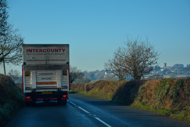
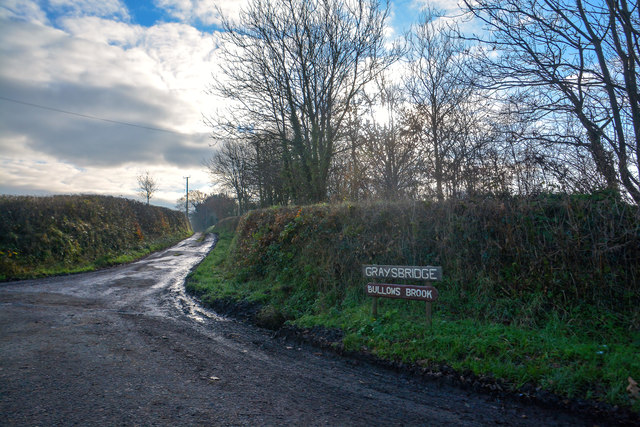
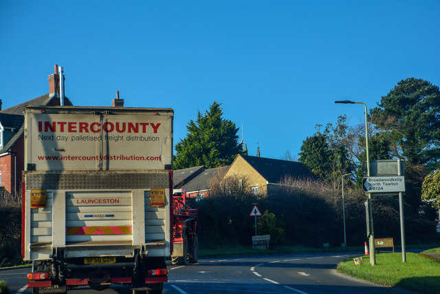
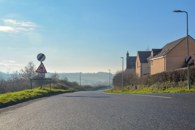
Long Northern Moor Images

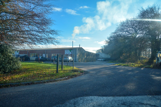
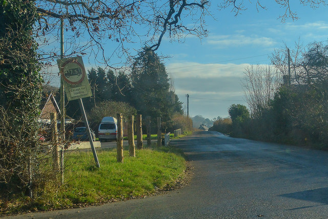
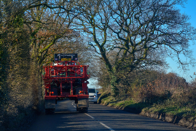
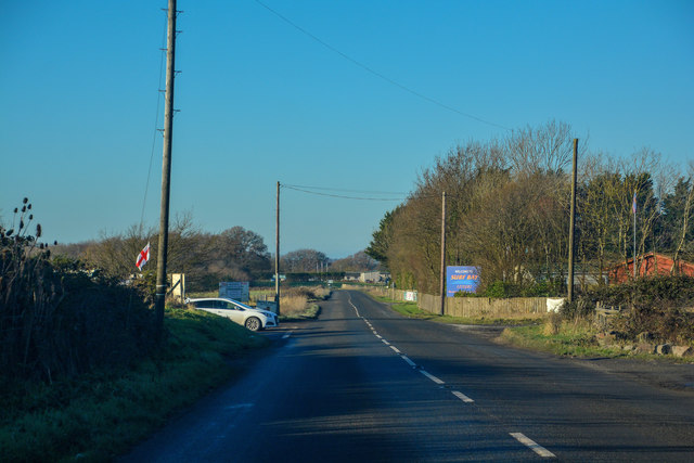
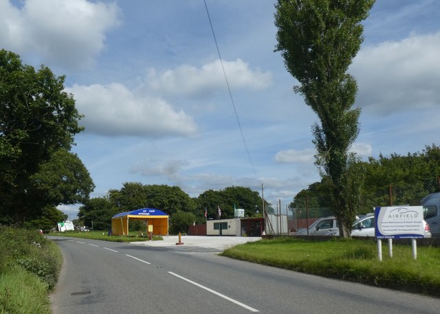
Images are sourced within 2km of 50.863419/-3.934662 or Grid Reference SS6308. Thanks to Geograph Open Source API. All images are credited.

Ordnance Survey Cut Mark This OS cut mark can be found on the north face of All Saints Church. It marks a point 171.231m above mean sea level.
Ordnance Survey Cut Mark
This OS cut mark can be found on the north face of All Saints Church. It marks a point 171.231m above mean sea level.
A3124 junction to Hollocombe This junction is on a sharp bend towards Winkleigh.
A3124 junction to Hollocombe
This junction is on a sharp bend towards Winkleigh.
A3214 approaching Winkleigh 30 M.P.H. limit ahead.
A3214 approaching Winkleigh
30 M.P.H. limit ahead.
A3124 junction with Elms Meadow, Winkleigh Elms Meadow is a new development of houses.
A3124 junction with Elms Meadow, Winkleigh
Elms Meadow is a new development of houses.
Winkleigh : The B3220 Looking along the B3220 through the Winkleigh parish.
Winkleigh : The B3220
Looking along the B3220 through the Winkleigh parish.
Winkleigh : Track A track heading to Graysbridge off the B3220.
Winkleigh : Track
A track heading to Graysbridge off the B3220.
Winkleigh : The B3220 The road heads into Winkleigh.
Winkleigh : The B3220
The road heads into Winkleigh.
Winkleigh : The A3124 Looking along the A3214.
Winkleigh : The A3124
Looking along the A3214.
Winkleigh : Exeter Road Exeter Road off the A3124.
Winkleigh : Exeter Road
Exeter Road off the A3124.
Winkleigh : The A3124 Looking along the A3124 through the Winkleigh parish.
Winkleigh : The A3124
Looking along the A3124 through the Winkleigh parish.
Winkleigh : Hills of Devon Looking towards business units in Winkleigh.
Winkleigh : Hills of Devon
Looking towards business units in Winkleigh.
Winkleigh : The A3124 Looking along the A3124 through the Winkleigh parish.
Winkleigh : The A3124
Looking along the A3124 through the Winkleigh parish.
Winkleigh : Winkleigh Timber The entrance into Winkleigh Timber.
Winkleigh : Winkleigh Timber
The entrance into Winkleigh Timber.
Winkleigh : Torrington Road Looking along Torrington Road off the A3124.
Winkleigh : Torrington Road
Looking along Torrington Road off the A3124.
Winkleigh : The A3124 Looking along the A3124 through the Winkleigh parish.
Winkleigh : The A3124
Looking along the A3124 through the Winkleigh parish.
Winleigh : Four Seasons Village Residential units on the outskirts of Winkleigh.
Winleigh : Four Seasons Village
Residential units on the outskirts of Winkleigh.
Winkleigh : The A3124 Heading through the parish of Winkleigh.
Winkleigh : The A3124
Heading through the parish of Winkleigh.
Car wash on edge of Winkleigh
Show me another place!

Long Northern Moor is located at Grid Ref: SS6308 (Lat: 50.863419, Lng: -3.934662)

Administrative County: Devon

District: Torridge

Police Authority: Devon and Cornwall

What 3 Words

///handyman.mental.climate. Near Winkleigh, Devon

Related Wikis

Church of All Saints, Winkleigh

The Church of All Saints is a Church of England parish church in Winkleigh, Devon. The church is a Grade I listed building. == History == The earliest...

RAF Winkleigh

Royal Air Force Winkleigh, or more simply RAF Winkleigh, is a former Royal Air Force satellite station located near to Winkleigh, Devon and south of Barnstaple...

Winkleigh

Winkleigh is a civil parish and small village in Devon, England. It is part of the local government area of Torridge District Council. The population of...

Wembworthy

Wembworthy is a small village, parish and former manor in Mid-Devon, England. It is situated in the valley of the River Taw, 8 miles north-east of the...

Nearby Amenities

Located within 500m of 50.863419,-3.934662
Power: pole
Source: bing
Lat/Long: 50.8654344/-3.9404708
Power: pole
Source: bing
Lat/Long: 50.8654987/-3.9393362
Power: pole
Source: bing
Lat/Long: 50.8658457/-3.9376706
Power: pole
Source: bing
Lat/Long: 50.8661894/-3.9359728
Power: pole
Source: bing
Lat/Long: 50.8665144/-3.9344358
Power: pole
Source: bing
Lat/Long: 50.8668919/-3.9325959
Power: pole
Source: bing
Lat/Long: 50.8671001/-3.9315632
The data included in this document is from www.openstreetmap.org. The data is made available under ODbL.

Have you been to Long Northern Moor?

Leave your review of Long Northern Moor below (or comments, questions and feedback).