Berner's Hill

Settlement in Sussex Rother

England

Berner's Hill

South of Ticehurst View north from near Myskins on the Cottenden road showing the southern slopes of the Ticehurst ridge, with the church in the background.
South of Ticehurst Credit: David Saunders

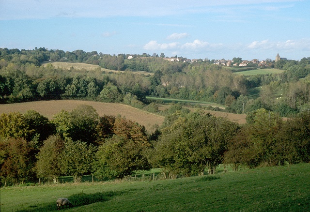
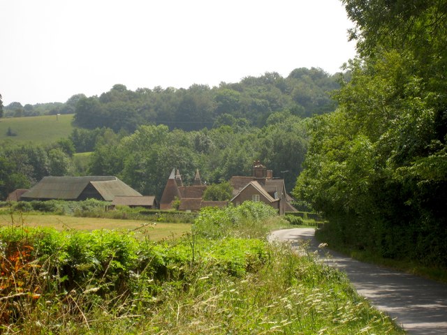
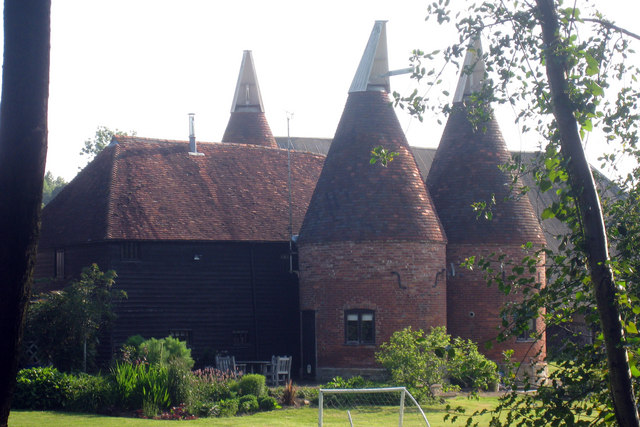
Berner's Hill is a picturesque village located in the county of Sussex, England. Situated on the edge of the South Downs National Park, this charming village offers a tranquil retreat for residents and visitors alike. With a population of approximately 500 people, Berner's Hill maintains a close-knit community atmosphere.

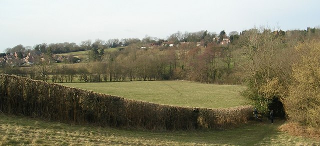
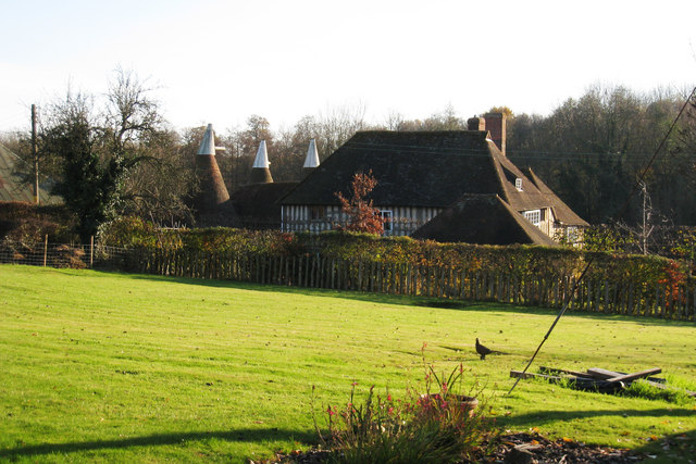
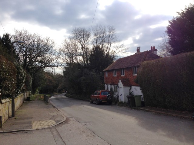
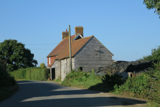
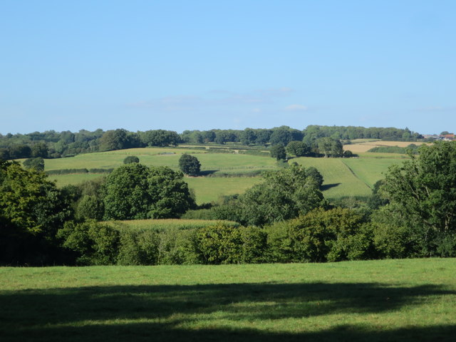
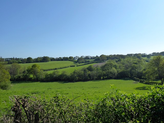
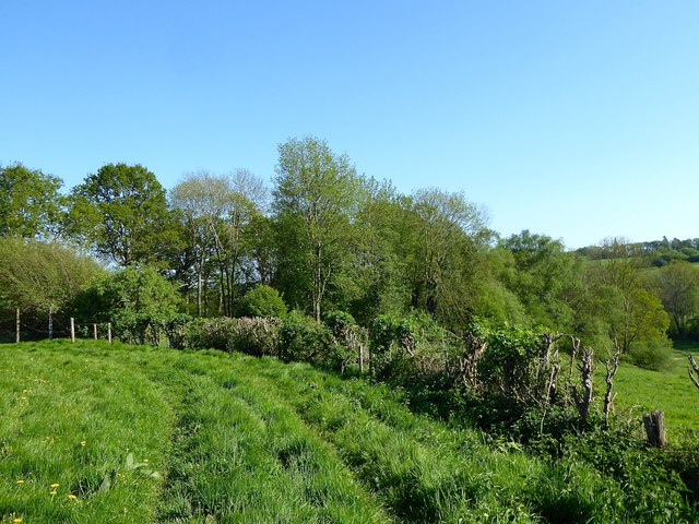
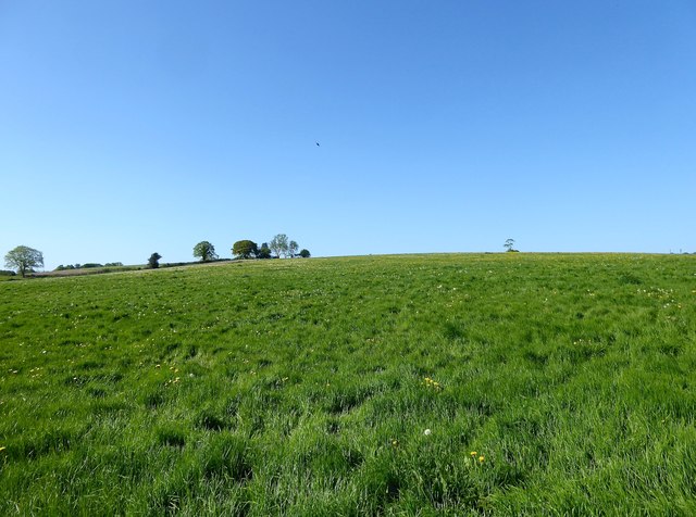
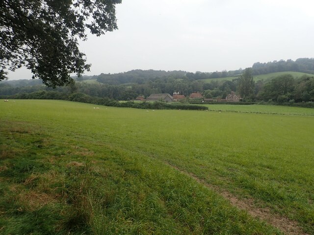
Surrounded by rolling green hills and breathtaking countryside, Berner's Hill is renowned for its natural beauty and stunning views. The village is dotted with traditional cottages, many of which date back several centuries, giving it a timeless and idyllic charm. Its quaint streets are lined with well-maintained gardens, adding to the overall appeal of the area.

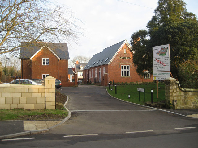
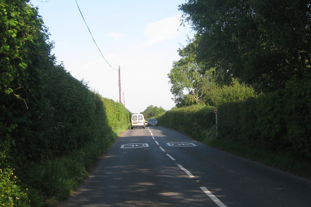
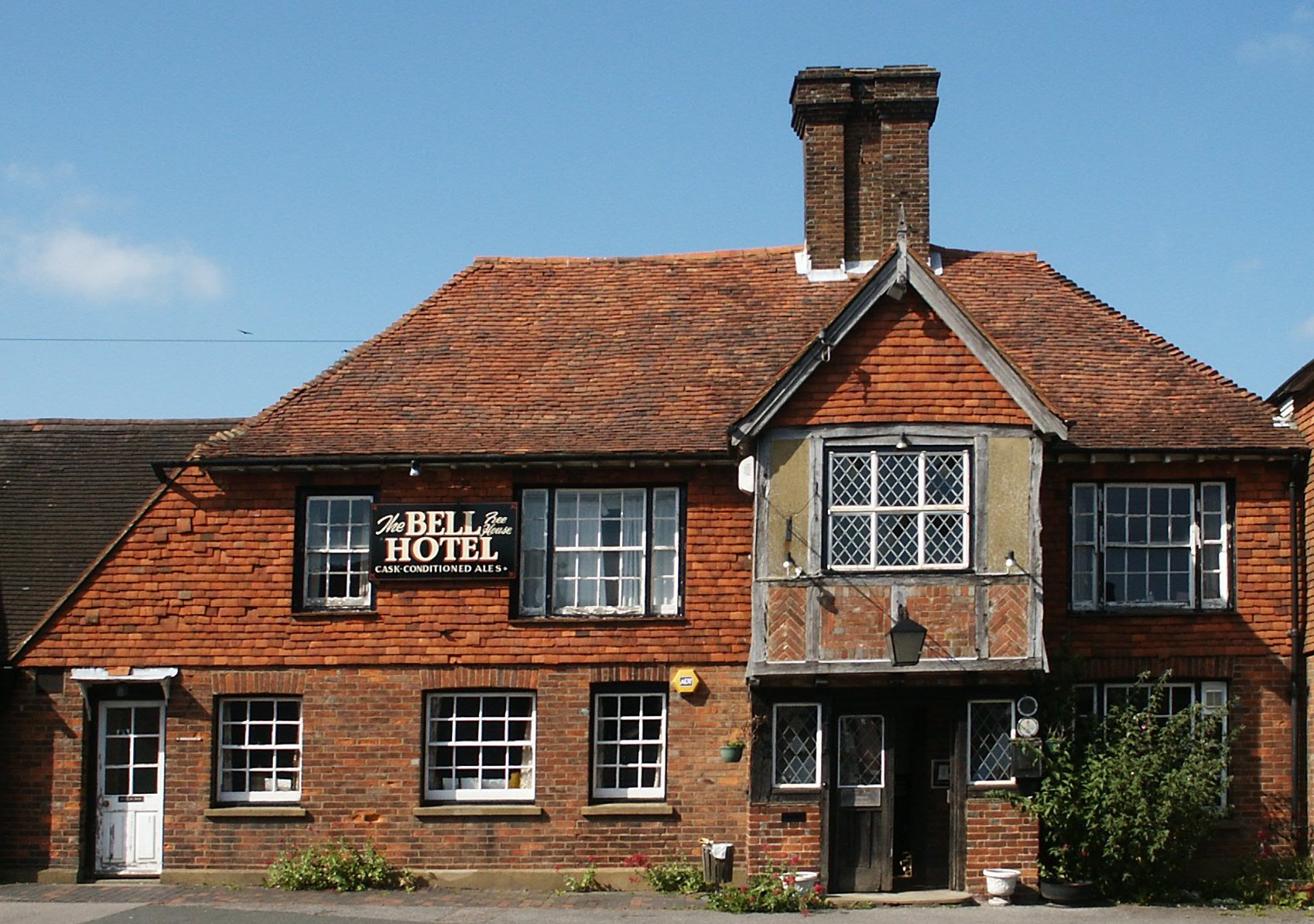
Despite its peaceful ambiance, Berner's Hill is conveniently located just a short distance from the town of Lewes, providing residents with easy access to a range of amenities and services. The village itself boasts a quaint local pub, where locals and visitors can enjoy a pint of traditional English ale or a hearty meal.

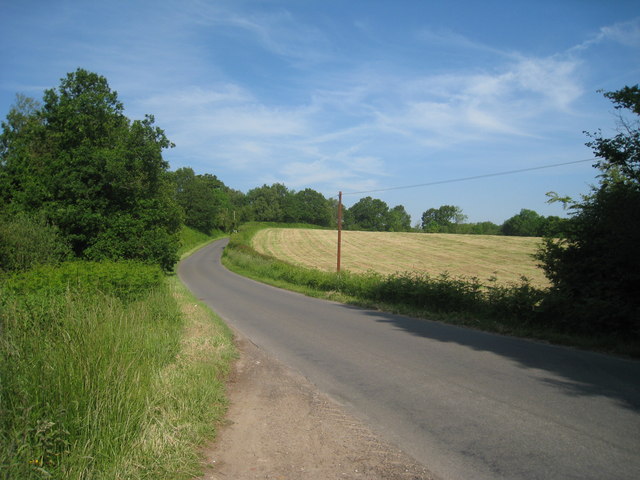
For outdoor enthusiasts, Berner's Hill offers an array of recreational opportunities. The surrounding countryside is crisscrossed with footpaths and bridleways, making it ideal for walking, hiking, and horseback riding. Additionally, the nearby South Downs Way offers spectacular views and a challenging terrain for those seeking a more adventurous experience.

Overall, Berner's Hill is a picturesque and peaceful village that encapsulates the beauty of the Sussex countryside. Its close-knit community, stunning natural surroundings, and convenient location make it a highly desirable place to live or visit.

If you have any feedback on the listing, please let us know in the comments section below.

Berner's Hill Images

Images are sourced within 2km of 51.044201/0.42371041 or Grid Reference TQ7030. Thanks to Geograph Open Source API. All images are credited.

South of Ticehurst View north from near Myskins on the Cottenden road showing the southern slopes of the Ticehurst ridge, with the church in the background.
South of Ticehurst
View north from near Myskins on the Cottenden road showing the southern slopes of the Ticehurst ridge, with the church in the background.
Fields South Of Ticehurst, East Sussex A view across fields to Ticehurst, from a footpath from Pashley Road to the Cherry Tree pub in Ticehurst.
Fields South Of Ticehurst, East Sussex
A view across fields to Ticehurst, from a footpath from Pashley Road to the Cherry Tree pub in Ticehurst.
Eden Court, Ticehurst Former primary school building (to right of picture), now converted to apartments with additional new houses surrounding it. Grade II listed.

New primary school at <a href="https://www.geograph.org.uk/gridref/TQ695304">TQ695304</a>
Eden Court, Ticehurst
Former primary school building (to right of picture), now converted to apartments with additional new houses surrounding it. Grade II listed. New primary school at TQ695304
Hillside Farm
Hillside Farm
Oast House at Wardsbrook Farm, Wardsbrook Road, Ticehurst, East Sussex
Pashley Road Towards Ticehurst
Pashley Road
Towards Ticehurst
Sheepstreet Lane Towards Ticehurst
Sheepstreet Lane
Towards Ticehurst
Oast House at Wardsbrook Farm, Wardsbrook Road, Ticehurst, East Suss
Church Street, Ticehurst
Barn at Hillside Farm
Field near Sheepstreet Lane
Site of Furnacefield Wood The once extensive wood has now been reduced to a small square copse to the east of this, the western end of the former wood. The small valley contains the River Limden, a tributary of the River Rother.
Site of Furnacefield Wood
The once extensive wood has now been reduced to a small square copse to the east of this, the western end of the former wood. The small valley contains the River Limden, a tributary of the River Rother.
Furnacefield Wood All that remains of a once extensive wood located on the northern slope of a valley containing the River Limden to the north of Burgham. Named after the former 16th century Darfold Furnace.
Furnacefield Wood
All that remains of a once extensive wood located on the northern slope of a valley containing the River Limden to the north of Burgham. Named after the former 16th century Darfold Furnace.
Ancient Field The name of the field according to Etchingham's 1839 tithe map located to the north of Furnacefield Wood.
Ancient Field
The name of the field according to Etchingham's 1839 tithe map located to the north of Furnacefield Wood.
Direction Sign - Signpost by Wardsbrook Road, south of Ticehurst Black iron cap finial - 3 arms; East Sussex wood by the UC road, in parish of Etchingham (Rother District), Wardsbrook Road at junction with Sheepstreet Lane, on grass triangle at junction.

Surveyed

Milestone Society National ID: SX_TQ6828
Direction Sign - Signpost by Wardsbrook Road, south of Ticehurst
Black iron cap finial - 3 arms; East Sussex wood by the UC road, in parish of Etchingham (Rother District), Wardsbrook Road at junction with Sheepstreet Lane, on grass triangle at junction. Surveyed Milestone Society National ID: SX_TQ6828
View across recreation ground from rear of village hall, Ticehurst Note the litter bin in the foreground and the beacon basket on the right hand side of the tree.
View across recreation ground from rear of village hall, Ticehurst
Note the litter bin in the foreground and the beacon basket on the right hand side of the tree.
Wardsbrook Farm A footpath leads from Church Road and an attractive view is revealed looking down to Wardsbrook Farm. It is an attractive group of buildings and one wing dates back to the 15th century.
Wardsbrook Farm
A footpath leads from Church Road and an attractive view is revealed looking down to Wardsbrook Farm. It is an attractive group of buildings and one wing dates back to the 15th century.
Show me another place!

Berner's Hill is located at Grid Ref: TQ7030 (Lat: 51.044201, Lng: 0.42371041)

Administrative County: East Sussex

District: Rother

Police Authority: Sussex

What 3 Words

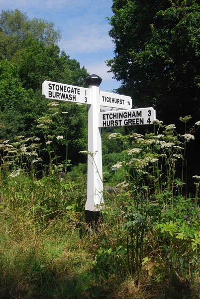
///stroke.attaching.homing. Near Ticehurst, East Sussex

Related Wikis

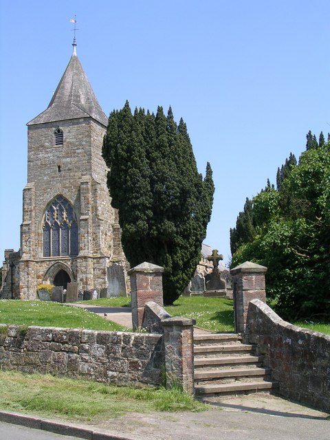
St Mary's Church, Ticehurst

St Mary's Church is a 14th-century parish church dedicated to St Mary the Virgin in Ticehurst, East Sussex, England. Part of the Diocese of Chichester...

Ticehurst

Ticehurst is both a village and a large civil parish in the Rother district of East Sussex, England. The parish lies in the upper reaches of both the Bewl...

Ticehurst House Hospital

Ticehurst House Hospital was a mental health facility. It opened in 1792 and was owned and run by five generations of members of the Newington family until...

Flimwell

Flimwell is a village in the civil parish of Ticehurst, in the Rother district of East Sussex, England. It is located close to the border with Kent at...

Nearby Amenities

Located within 500m of 51.044201,0.42371041
Barrier: stile
Lat/Long: 51.0406573/0.4194166
Turning Circle
Lat/Long: 51.0464013/0.4189201
Turning Circle
Lat/Long: 51.0470043/0.4194194
Generator Method: photovoltaic
Generator Output Electricity: yes
Generator Source: solar
Generator Type: solar_photovoltaic_panel
Location: roof
Power: generator
Lat/Long: 51.044792/0.4188001
The data included in this document is from www.openstreetmap.org. The data is made available under ODbL.

Have you been to Berner's Hill?

Leave your review of Berner's Hill below (or comments, questions and feedback).