Dale Hill

Settlement in Sussex Rother

England

Dale Hill

South of Ticehurst View north from near Myskins on the Cottenden road showing the southern slopes of the Ticehurst ridge, with the church in the background.
South of Ticehurst Credit: David Saunders

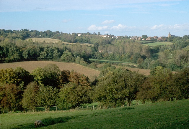
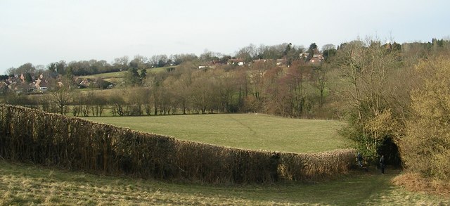
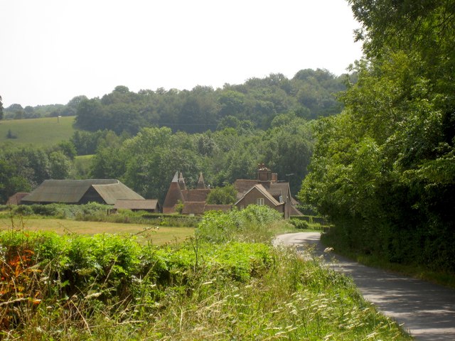
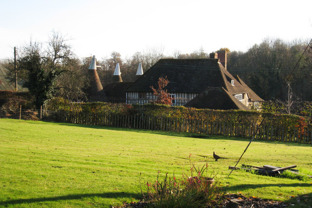
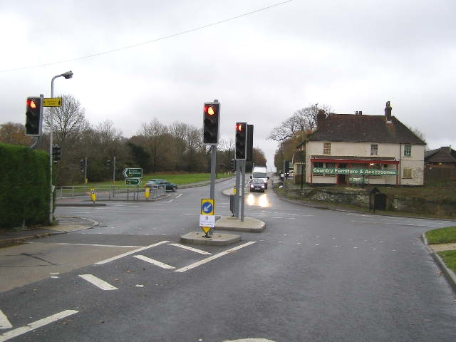
Dale Hill is a beautiful village located in the county of Sussex, England. Situated in the High Weald Area of Outstanding Natural Beauty, it is surrounded by picturesque countryside, rolling hills, and lush green fields. The village is set on the eastern edge of the Ashdown Forest, one of the largest areas of woodland in the county.

Dale Hill is known for its charming and tranquil atmosphere, making it a popular destination for those seeking a peaceful retreat away from the hustle and bustle of city life. The village is characterized by its traditional architecture, with many old cottages and buildings that add to its quaint and timeless charm.

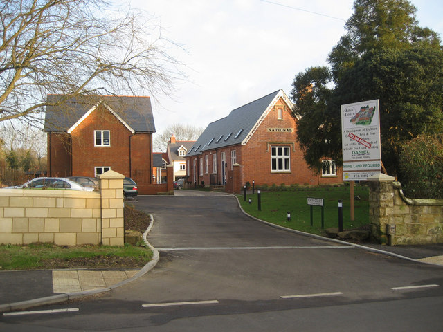
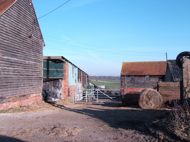
The village is home to a close-knit community, with friendly residents who take pride in their surroundings. There are several amenities available within the village, including a local pub, a village hall, and a small convenience store. The nearby town of Crowborough provides additional facilities and services, including shops, schools, and healthcare facilities.

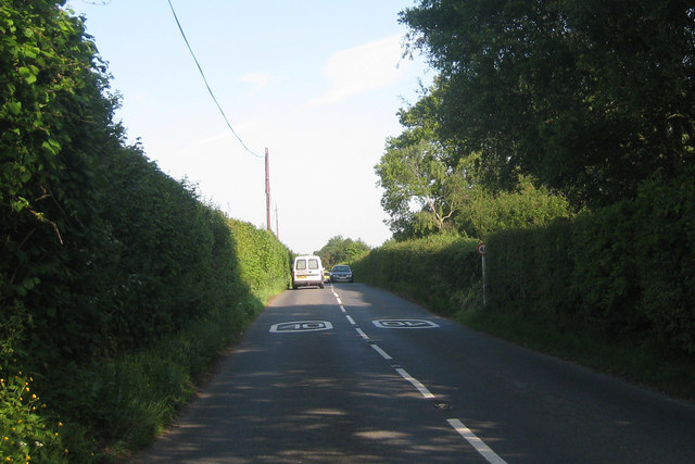
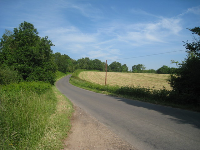
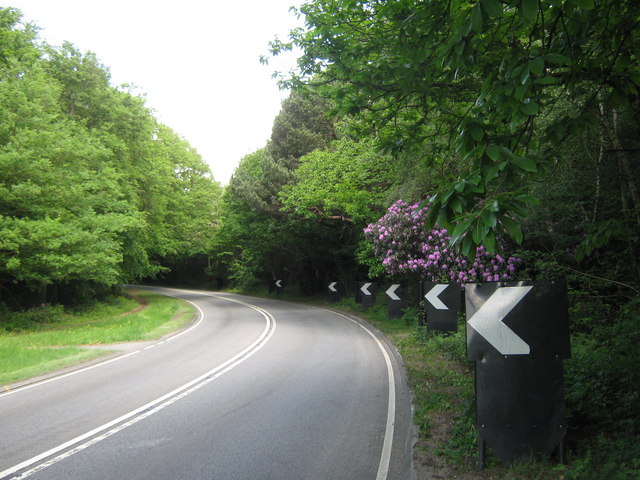
For outdoor enthusiasts, Dale Hill offers a multitude of opportunities to explore the great outdoors. The surrounding countryside is crisscrossed with walking trails and bridle paths, making it perfect for hikers, cyclists, and horse riders. The Ashdown Forest, in particular, is a haven for wildlife and is popular for birdwatching, nature walks, and picnics.

Dale Hill truly encapsulates the beauty and charm of rural Sussex, making it an idyllic destination for those seeking a peaceful and scenic getaway.

If you have any feedback on the listing, please let us know in the comments section below.
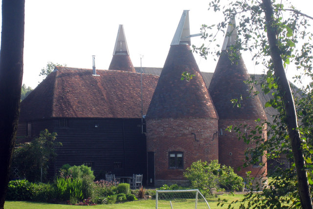
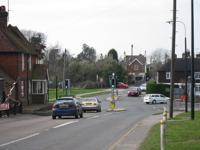
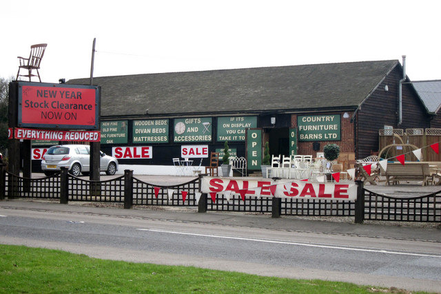
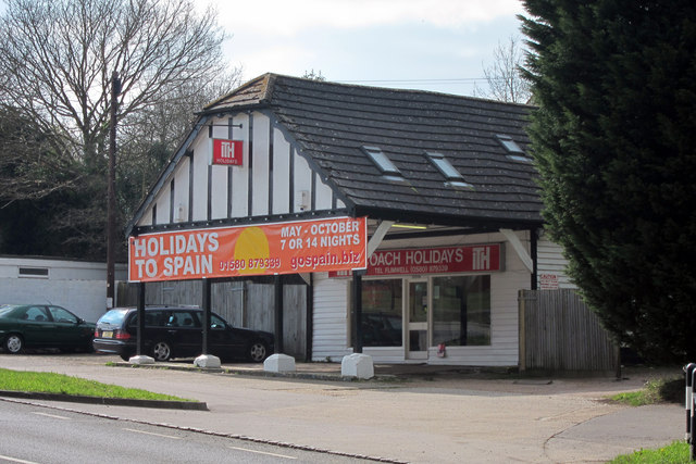
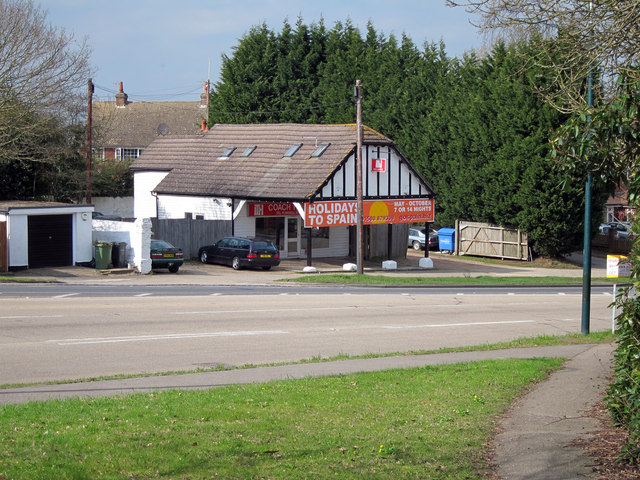
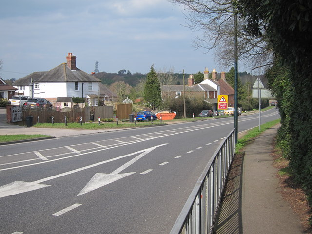
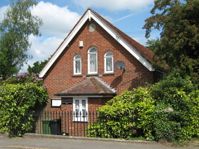
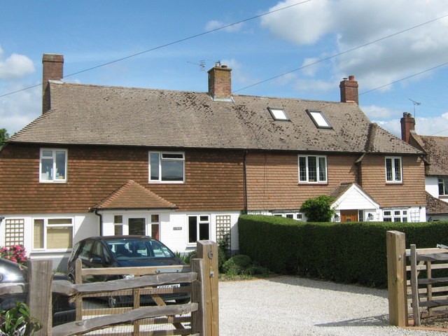
Dale Hill Images

Images are sourced within 2km of 51.044201/0.42371041 or Grid Reference TQ7030. Thanks to Geograph Open Source API. All images are credited.

South of Ticehurst View north from near Myskins on the Cottenden road showing the southern slopes of the Ticehurst ridge, with the church in the background.
South of Ticehurst
View north from near Myskins on the Cottenden road showing the southern slopes of the Ticehurst ridge, with the church in the background.
Fields South Of Ticehurst, East Sussex A view across fields to Ticehurst, from a footpath from Pashley Road to the Cherry Tree pub in Ticehurst.
Fields South Of Ticehurst, East Sussex
A view across fields to Ticehurst, from a footpath from Pashley Road to the Cherry Tree pub in Ticehurst.
Eden Court, Ticehurst Former primary school building (to right of picture), now converted to apartments with additional new houses surrounding it. Grade II listed.

New primary school at <a href="https://www.geograph.org.uk/gridref/TQ695304">TQ695304</a>
Eden Court, Ticehurst
Former primary school building (to right of picture), now converted to apartments with additional new houses surrounding it. Grade II listed. New primary school at TQ695304
Hillside Farm
Hillside Farm
Oast House at Wardsbrook Farm, Wardsbrook Road, Ticehurst, East Sussex
Pashley Road Towards Ticehurst
Pashley Road
Towards Ticehurst
Sheepstreet Lane Towards Ticehurst
Sheepstreet Lane
Towards Ticehurst
Oast House at Wardsbrook Farm, Wardsbrook Road, Ticehurst, East Suss
Flimwell crossroads Looking from A268 Hawkhurst Road onto a busy junction with the A21 (left and right) and High Street (ahead). It was proposed to bypass this junction to the East of here, including a by pass of Hurst Green, to improve the A21 to Hastings, however this was recently completely scrapped and numerous houses compulsory purchased for millions decades ago are now being sold.
Flimwell crossroads
Looking from A268 Hawkhurst Road onto a busy junction with the A21 (left and right) and High Street (ahead). It was proposed to bypass this junction to the East of here, including a by pass of Hurst Green, to improve the A21 to Hastings, however this was recently completely scrapped and numerous houses compulsory purchased for millions decades ago are now being sold.
Country Furniture Barns Ltd Furniture shop on Hawkhurst Road.
Country Furniture Barns Ltd
Furniture shop on Hawkhurst Road.
Coach Holidays As the name suggests the firm provides coach holidays to Europe.
Coach Holidays
As the name suggests the firm provides coach holidays to Europe.
Coach Holidays As the name suggests the firm provides coach holidays to Europe.
Coach Holidays
As the name suggests the firm provides coach holidays to Europe.
A21 at Flimwell The A21 is a 63 mile major trunk road running  from Lewisham in Greater London to Hastings, East Sussex. The road is broken up by the M25 motorway between junction 4 and 5.
Wikipedia <span class="nowrap"><a title="http://en.wikipedia.org/wiki/A21_road_(England)" rel="nofollow ugc noopener" href="http://en.wikipedia.org/wiki/A21_road_(England)">Link</a><img style="margin-left:2px;" alt="External link" title="External link - shift click to open in new window" src="https://s1.geograph.org.uk/img/external.png" width="10" height="10"/></span>
A21 at Flimwell
The A21 is a 63 mile major trunk road running from Lewisham in Greater London to Hastings, East Sussex. The road is broken up by the M25 motorway between junction 4 and 5. Wikipedia LinkExternal link
Providence Chapel Converted chapel on the B2087 Flimwell High Street.
Providence Chapel
Converted chapel on the B2087 Flimwell High Street.
No. 6 and 5 Red Oast Cottages On the B2087 Flimwell High Street is three pairs of cottages. This is the third pair.
No. 6 and 5 Red Oast Cottages
On the B2087 Flimwell High Street is three pairs of cottages. This is the third pair.
A21 to Flimwell This road leads up from Hurst Green towards Lamberhurst.
It winds past Ringden Wood on the right.
A21 to Flimwell
This road leads up from Hurst Green towards Lamberhurst. It winds past Ringden Wood on the right.
A268 junction with A21 The A268 finishes here at Flimwell. So the choices at this crossroads are right towards Tunbridge Wells or left towards Hastings. Straight across will join the B2087 towards Ticehurst.
A268 junction with A21
The A268 finishes here at Flimwell. So the choices at this crossroads are right towards Tunbridge Wells or left towards Hastings. Straight across will join the B2087 towards Ticehurst.
Show me another place!

Dale Hill is located at Grid Ref: TQ7030 (Lat: 51.044201, Lng: 0.42371041)

Administrative County: East Sussex

District: Rother

Police Authority: Sussex

What 3 Words

///stroke.attaching.homing. Near Ticehurst, East Sussex

Related Wikis

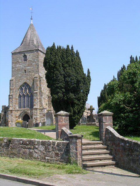
St Mary's Church, Ticehurst

St Mary's Church is a 14th-century parish church dedicated to St Mary the Virgin in Ticehurst, East Sussex, England. Part of the Diocese of Chichester...

Ticehurst

Ticehurst is both a village and a large civil parish in the Rother district of East Sussex, England. The parish lies in the upper reaches of both the Bewl...

Ticehurst House Hospital

Ticehurst House Hospital was a mental health facility. It opened in 1792 and was owned and run by five generations of members of the Newington family until...

Flimwell

Flimwell is a village in the civil parish of Ticehurst, in the Rother district of East Sussex, England. It is located close to the border with Kent at...

St Augustine's Church, Flimwell

St Augustine's Church is the Anglican parish church of Flimwell, a village in the Rother district of East Sussex, England. It was consecrated in 1839 after...

Combwell Priory

Combwell Priory was a priory near Bedgebury Cross about 10 miles southeast of Tunbridge Wells in Kent, England. == History == This is a Grade II listed...

Bewl Water

Bewl Water is a reservoir in the valley of the River Bewl, straddling the boundary between Kent and East Sussex in England. It is about 2 miles (3.2 km...

Bedgebury Forest

Bedgebury Forest is a 10.5 square kilometres (2,600 acres) forest surrounding Bedgebury National Pinetum, near Flimwell in Kent. In contrast to the National...

Nearby Amenities

Located within 500m of 51.044201,0.42371041
Barrier: stile
Lat/Long: 51.0406573/0.4194166
Turning Circle
Lat/Long: 51.0464013/0.4189201
Turning Circle
Lat/Long: 51.0470043/0.4194194
Generator Method: photovoltaic
Generator Output Electricity: yes
Generator Source: solar
Generator Type: solar_photovoltaic_panel
Location: roof
Power: generator
Lat/Long: 51.044792/0.4188001
The data included in this document is from www.openstreetmap.org. The data is made available under ODbL.

Have you been to Dale Hill?

Leave your review of Dale Hill below (or comments, questions and feedback).