Dale End

Settlement in Derbyshire Derbyshire Dales

England

Dale End

Gratton Dale north of Mouldridge Grange
Gratton Dale north of Mouldridge Grange Credit: Neil Theasby

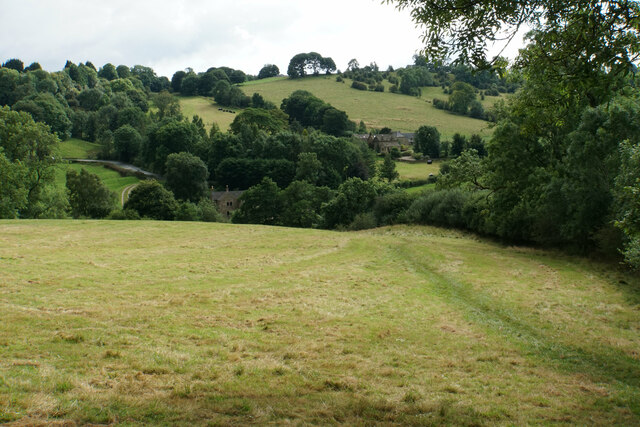
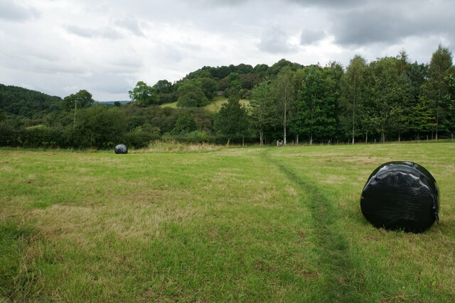
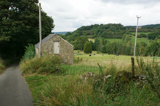
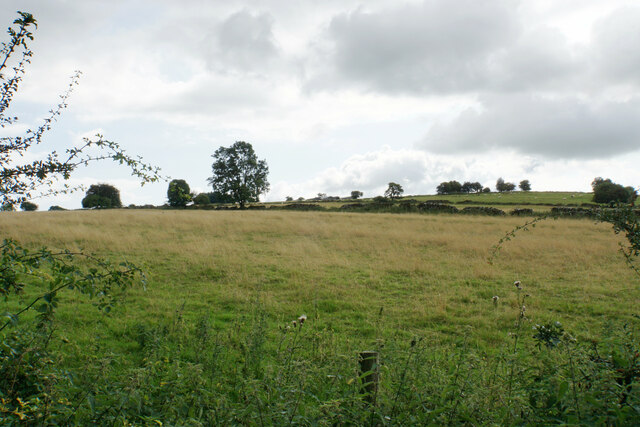
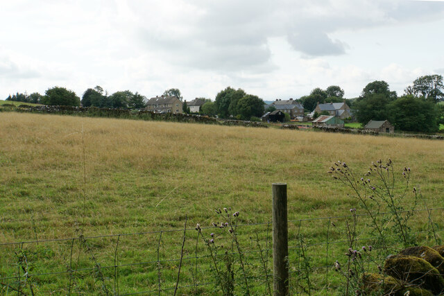
Dale End is a small rural village located in Derbyshire, England. Situated in the Peak District National Park, it offers breathtaking views of the surrounding countryside and is known for its tranquility and natural beauty. With a population of around 200 residents, Dale End is a close-knit community that prides itself on its strong sense of community spirit.

The village is characterized by its picturesque stone cottages and traditional architecture, which give it a timeless charm. The local pub, The Dale Inn, serves as a social hub for residents and visitors alike, offering a cozy atmosphere and a selection of locally brewed ales.

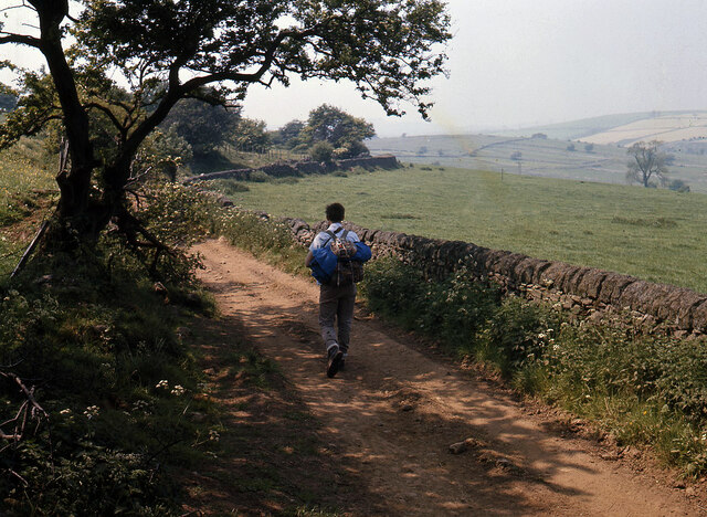
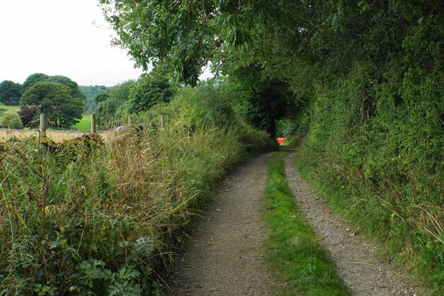
Dale End is an ideal destination for outdoor enthusiasts, with numerous hiking and cycling trails that meander through the nearby rolling hills. The village is also located near several popular landmarks, including the famous Chatsworth House and Haddon Hall, which attract tourists from far and wide.

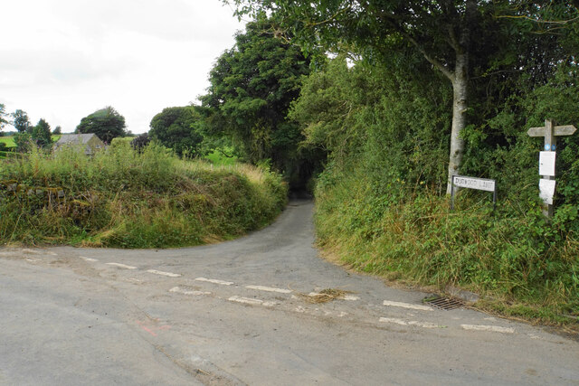
Despite its rural setting, Dale End benefits from excellent transport links. The nearby market town of Bakewell is only a short drive away, offering a wide range of amenities such as shops, restaurants, and schools. The city of Sheffield is also within easy reach, providing further opportunities for employment and entertainment.

Overall, Dale End is a charming village that offers a peaceful and idyllic lifestyle. With its stunning natural surroundings, friendly community, and convenient location, it is no wonder that it is highly regarded as a desirable place to live and visit in Derbyshire.

If you have any feedback on the listing, please let us know in the comments section below.
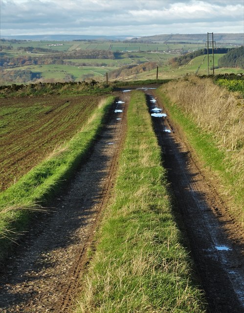
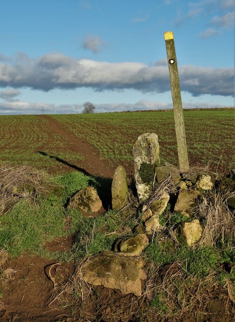
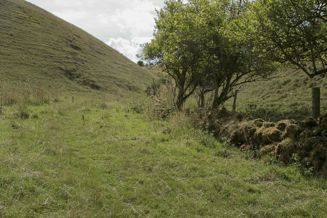
Dale End Images

Images are sourced within 2km of 53.148411/-1.685974 or Grid Reference SK2161. Thanks to Geograph Open Source API. All images are credited.

Gratton Dale north of Mouldridge Grange
Cattle in Long Dale
Cattle in Long Dale
Field barn near Mouldridge Grange
Track on Elton Common
Stile and footpath - Elton Common
Not a place I would choose to cycle Just where Long Dale and Gratton Dale join we were passed by a group of about 15 cyclists. These few have just gone through a very narrow stile and are heading down the dale which in places is very rough and rocky.
Not a place I would choose to cycle
Just where Long Dale and Gratton Dale join we were passed by a group of about 15 cyclists. These few have just gone through a very narrow stile and are heading down the dale which in places is very rough and rocky.
Looking back up Long Dale From the stile we look back along the way we have walked.
Looking back up Long Dale
From the stile we look back along the way we have walked.
Footpath to Elton We chose not to add the extra miles on our walk by going to Elton, but this is the footpath to the village.
Footpath to Elton
We chose not to add the extra miles on our walk by going to Elton, but this is the footpath to the village.
Hungerhill Lane, Elton Old trackway leading towards Gratton Dale
Hungerhill Lane, Elton
Old trackway leading towards Gratton Dale
Path towards Elton Elton is over the top of the hill seen ahead.
Path towards Elton
Elton is over the top of the hill seen ahead.
Path to Birchover The path leaves Dudwood Lane by Meadowside Farm. The field has been harvested for silage.
Path to Birchover
The path leaves Dudwood Lane by Meadowside Farm. The field has been harvested for silage.
Barn by Dudwood Lane The valley of Ivy Bar Brook is down to the right, and Bradley Rocks are in the trees on the other side.
Barn by Dudwood Lane
The valley of Ivy Bar Brook is down to the right, and Bradley Rocks are in the trees on the other side.
The top of Dudwood Lane The lane is also the route of the Limestone Way.
The top of Dudwood Lane
The lane is also the route of the Limestone Way.
Hilltop fields near Elton The top is a bit further out of sight, on Blake Low.
Hilltop fields near Elton
The top is a bit further out of sight, on Blake Low.
Field near Elton The eastern end of the village can be seen.
Field near Elton
The eastern end of the village can be seen.
Islington Lane A farm track near Elton which is also the route of the Limestone Way.
Islington Lane
A farm track near Elton which is also the route of the Limestone Way.
Ivy Bar Brook at Dudwood Lane Instead of flowing down the north side of Dudwood Lane, the brook, for some reason, flows underneath it to the south side, before immediately looping back to the north again.
Ivy Bar Brook at Dudwood Lane
Instead of flowing down the north side of Dudwood Lane, the brook, for some reason, flows underneath it to the south side, before immediately looping back to the north again.
The hermit's cave The hermit's cave is thought to be 14th century in origin but may be older. There would have been a wooden lean-to structure on the outside. It contains the crucifixion carving, pictured in <a href="https://www.geograph.org.uk/photo/53753">SK2262 : Hermit's cave</a>.
The hermit's cave
The hermit's cave is thought to be 14th century in origin but may be older. There would have been a wooden lean-to structure on the outside. It contains the crucifixion carving, pictured in SK2262 : Hermit's cave.
Show me another place!

Dale End is located at Grid Ref: SK2161 (Lat: 53.148411, Lng: -1.685974)

Administrative County: Derbyshire

District: Derbyshire Dales

Police Authority: Derbyshire

What 3 Words

///frozen.poetry.sediment. Near Youlgreave, Derbyshire

Related Wikis

Dale End, Derbyshire

Dale End is a hamlet in Derbyshire, England to the west of Elton. == References ==

Gratton, Derbyshire

Gratton is a civil parish in the Derbyshire Dales district of central Derbyshire, half a mile west of the neighbouring village, Elton. == See also... ==

Elton, Derbyshire

Elton is a village and civil parish in the Derbyshire Dales district of Derbyshire, England, and lies within the Peak District. Its nearest towns are Bakewell...

All Saints' Church, Elton

All Saints’ Church, Elton is a Grade II listed Church of England church in Elton, Derbyshire. == History == Elton was originally one of the chapelries...

Duke of York Inn, Elton

The Duke of York Inn is a Grade II listed public house at Main Street, Elton, Derbyshire DE4 2BW.It is on the Campaign for Real Ale's National Inventory...

Harthill Moor

Harthill Moor is a small upland area in the Derbyshire Peak District of central and northern England, lying between Matlock and Bakewell near the villages...
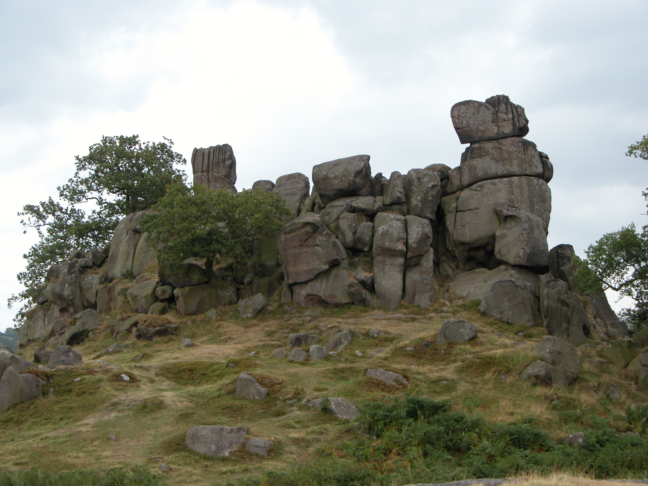
Robin Hood's Stride

Robin Hood's Stride (also known as Mock Beggar's Mansion) is a rock formation on the Limestone Way in Derbyshire close to the village of Elton. The nearest...

Nine Stones Close

Nine Stones Close, also known as the Grey Ladies, is a stone circle on Harthill Moor in Derbyshire in the English East Midlands. It is part of a tradition...

Nearby Amenities

Located within 500m of 53.148411,-1.685974
Booth: K6
Colour: red
Covered: booth
Disused Amenity: telephone
Man Made: telephone_box
Lat/Long: 53.1492213/-1.6853833
Board Type: history
Description: Lime kiln
Information: board
Tourism: information
Lat/Long: 53.1480312/-1.6866288
Ele: 222.0000000
Lat/Long: 53.1456379/-1.6851284
Ele: 218.0000000
Lat/Long: 53.1458997/-1.6855553
Ele: 202.0000000
Lat/Long: 53.1469498/-1.686528
Ele: 197.0000000
Lat/Long: 53.1477258/-1.686386
Barrier: stile
Ele: 250.0000000
Material: stone
Source: survey;gps
Stile: stepover
Lat/Long: 53.1454442/-1.6804286
Barrier: entrance
Source: survey;gps
Lat/Long: 53.1455048/-1.684537
Barrier: stile
Foot: yes
Material: stone
Source: survey;gps
Stile: squeezer
Lat/Long: 53.1488697/-1.6788553
Barrier: stile
Foot: yes
Material: stone
Source: survey;gps
Stile: squeezer
Lat/Long: 53.1489813/-1.6795408
Barrier: stile
Foot: yes
Lat/Long: 53.1491473/-1.6812008
Barrier: stile
Foot: yes
Lat/Long: 53.1495424/-1.6826857
Barrier: stile
Foot: yes
Material: wood
Source: survey;gps
Stile: stepover
Lat/Long: 53.1502071/-1.6856844
Power: pole
Lat/Long: 53.1449973/-1.6820945
Power: pole
Lat/Long: 53.1458089/-1.6818865
Power: pole
Lat/Long: 53.1468873/-1.6816022
Power: pole
Lat/Long: 53.1483748/-1.6812126
Power: pole
Lat/Long: 53.1493253/-1.6809532
Power: pole
Lat/Long: 53.1502453/-1.6823149
Power: pole
Lat/Long: 53.1511508/-1.6836958
Power: pole
Lat/Long: 53.1518382/-1.6847425
Power: pole
Lat/Long: 53.1525588/-1.6858387
Dale End House
Addr City: Bakewell
Addr Postcode: DE45 1LN
Addr Street: Gratton Lane
Note: The Lodge and The Barn
Phone: +44 1629 650380
Tourism: guest_house
Website: http://www.daleendhouse.co.uk/Home.aspx
Lat/Long: 53.1500115/-1.6860329
Entrance: yes
Lat/Long: 53.1493802/-1.6846746
Entrance: yes
Lat/Long: 53.149466/-1.6847957
Bench
Lat/Long: 53.1492373/-1.6854289
The data included in this document is from www.openstreetmap.org. The data is made available under ODbL.

Have you been to Dale End?

Leave your review of Dale End below (or comments, questions and feedback).