Bury Cliff Wood

Wood, Forest in Derbyshire Derbyshire Dales

England

Bury Cliff Wood

Track on Elton Common
Track on Elton Common Credit: Neil Theasby

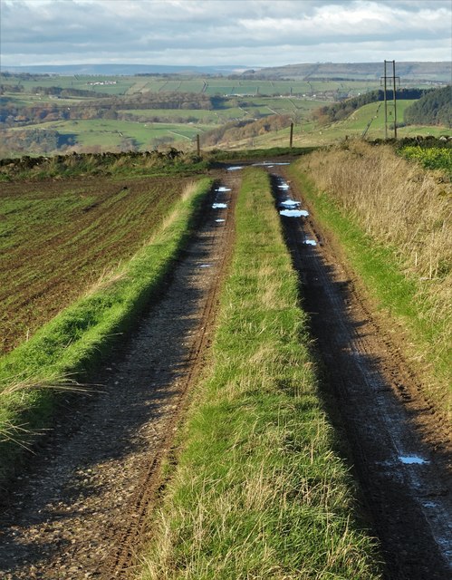
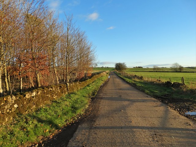
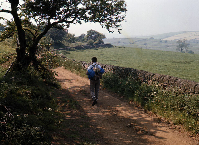
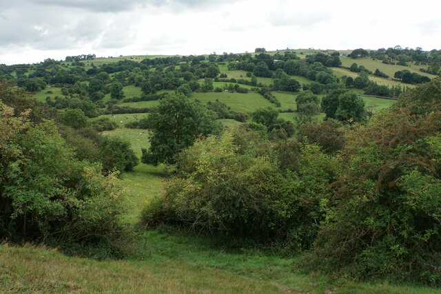
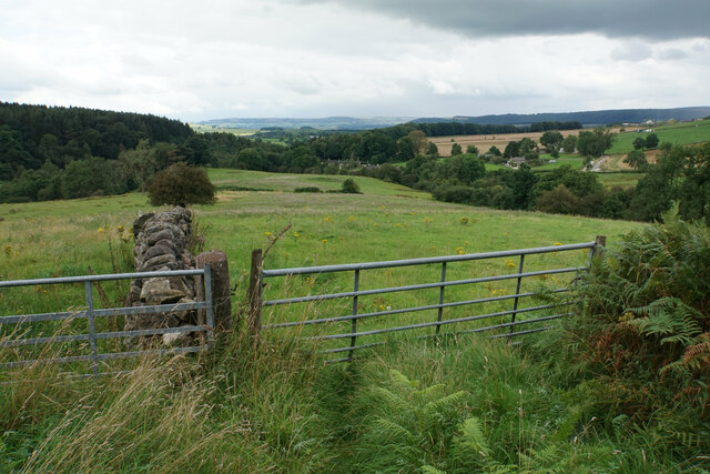
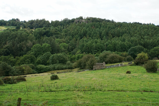
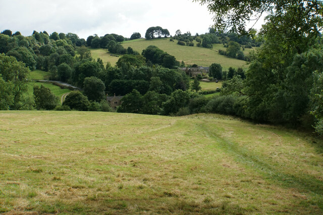
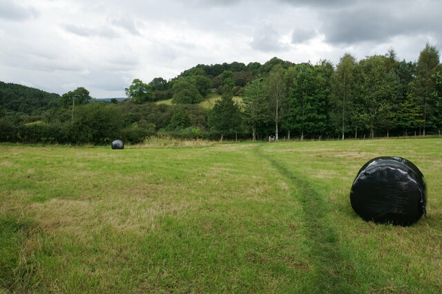
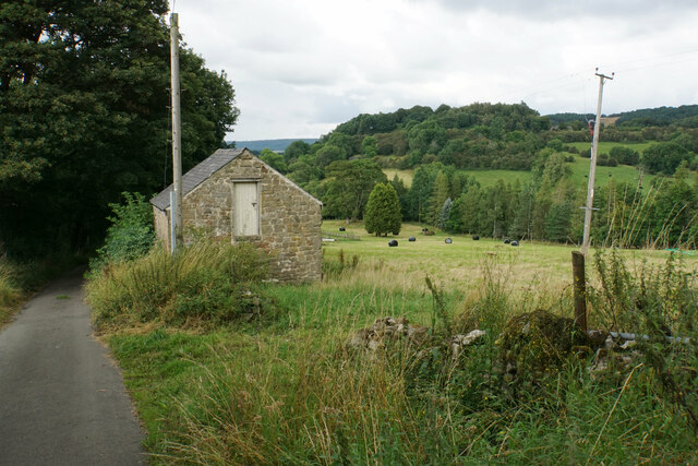
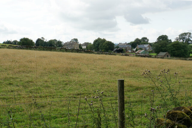
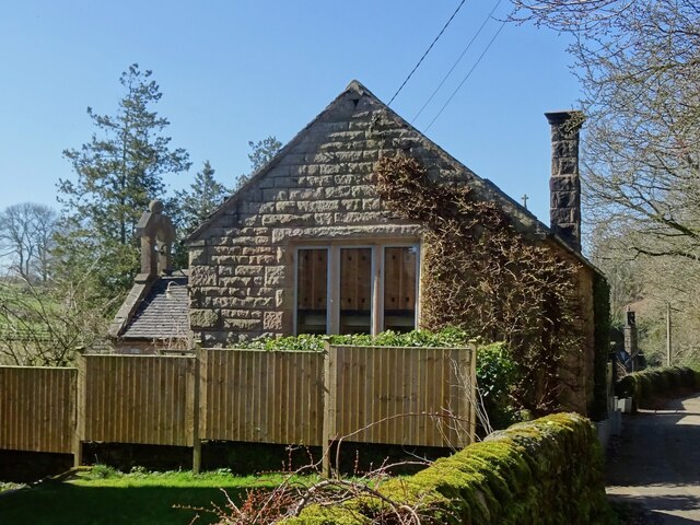
Bury Cliff Wood is a beautiful forest located in Derbyshire, England. Covering an area of approximately 100 acres, this woodland is a popular destination for nature enthusiasts and hikers alike. The forest is situated on the outskirts of the town of Buxton, making it easily accessible for visitors.

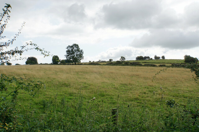
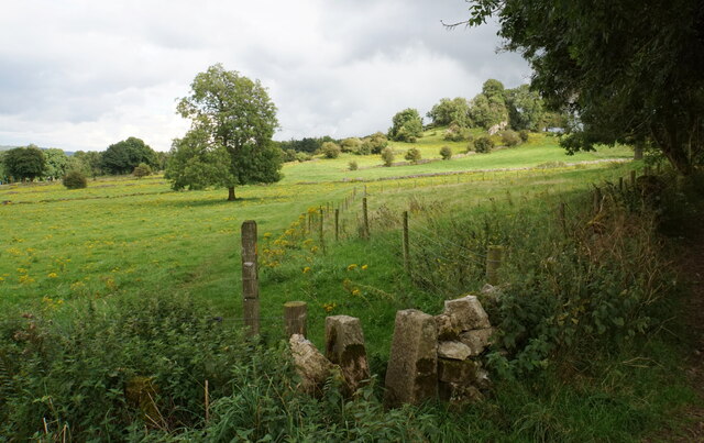
Bury Cliff Wood is characterized by its diverse range of flora and fauna. The forest is predominantly made up of broadleaf trees such as oak, beech, and birch, creating a picturesque and enchanting landscape. In the spring, the woodland floor becomes carpeted with vibrant bluebells and wildflowers, adding a burst of color to the surroundings.

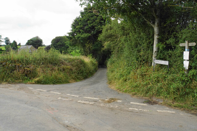
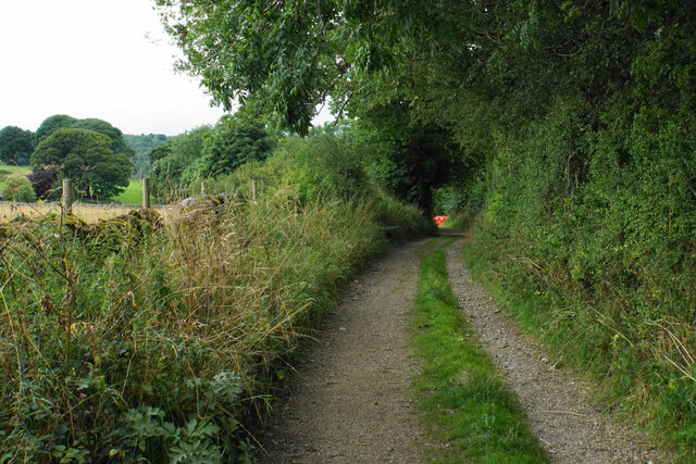
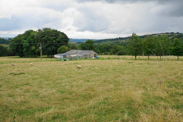
The forest offers numerous walking trails and paths, allowing visitors to explore its various sections. These trails are well-maintained and provide stunning views of the surrounding countryside. Bury Cliff Wood is also home to a variety of wildlife, including deer, foxes, and various bird species, making it a perfect spot for birdwatching and wildlife photography.

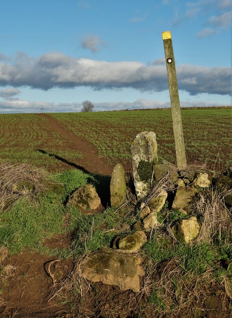
For those interested in history, Bury Cliff Wood holds significant archaeological value. There are several ancient burial mounds and earthworks within the forest, dating back to the Bronze Age. These historical features add an element of intrigue and provide a glimpse into the region's past.

Overall, Bury Cliff Wood is a tranquil and captivating forest that offers visitors a chance to immerse themselves in nature and explore the rich history of the area. Its accessibility, diverse ecosystem, and scenic beauty make it a must-visit destination in Derbyshire.

If you have any feedback on the listing, please let us know in the comments section below.

Bury Cliff Wood Images

Images are sourced within 2km of 53.15039/-1.6770622 or Grid Reference SK2161. Thanks to Geograph Open Source API. All images are credited.

Track on Elton Common
Exlowmere Lane
Exlowmere Lane
Stile and footpath - Elton Common
Hungerhill Lane, Elton Old trackway leading towards Gratton Dale
Hungerhill Lane, Elton
Old trackway leading towards Gratton Dale
Fields near Birchover The village is seen in the background from this point on Birchover Edge.
Fields near Birchover
The village is seen in the background from this point on Birchover Edge.
Fields below Birchover Edge Looking roughly towards Winster which is slightly off to the left.
Fields below Birchover Edge
Looking roughly towards Winster which is slightly off to the left.
Fields below Birchover Looking down towards the valley of Ivy Bar Brook.
Fields below Birchover
Looking down towards the valley of Ivy Bar Brook.
Ruined barn near Birchover Hermit's Cave and Robin Hood's Stride are rocky outcrops on the opposite hill.
Ruined barn near Birchover
Hermit's Cave and Robin Hood's Stride are rocky outcrops on the opposite hill.
Path towards Elton Elton is over the top of the hill seen ahead.
Path towards Elton
Elton is over the top of the hill seen ahead.
Path to Birchover The path leaves Dudwood Lane by Meadowside Farm. The field has been harvested for silage.
Path to Birchover
The path leaves Dudwood Lane by Meadowside Farm. The field has been harvested for silage.
Barn by Dudwood Lane The valley of Ivy Bar Brook is down to the right, and Bradley Rocks are in the trees on the other side.
Barn by Dudwood Lane
The valley of Ivy Bar Brook is down to the right, and Bradley Rocks are in the trees on the other side.
The top of Dudwood Lane The lane is also the route of the Limestone Way.
The top of Dudwood Lane
The lane is also the route of the Limestone Way.
Hilltop fields near Elton The top is a bit further out of sight, on Blake Low.
Hilltop fields near Elton
The top is a bit further out of sight, on Blake Low.
Field near Elton The eastern end of the village can be seen.
Field near Elton
The eastern end of the village can be seen.
Islington Lane A farm track near Elton which is also the route of the Limestone Way.
Islington Lane
A farm track near Elton which is also the route of the Limestone Way.
Farm on Chadwick Hill Looking down from Islington Lane. The Derwent valley is just about seen in the distance.
Farm on Chadwick Hill
Looking down from Islington Lane. The Derwent valley is just about seen in the distance.
Footpath to Winster Leaving the Limestone Way. Grey Tor is a limestone outcrop in the trees ahead.
Footpath to Winster
Leaving the Limestone Way. Grey Tor is a limestone outcrop in the trees ahead.
Former Church of England infant school The "Public Elementary School (infants)" was built in 1883 for 60 pupils. By 1986, however, the numbers had dwindled to fewer than 20 and the school was closed.
Former Church of England infant school
The "Public Elementary School (infants)" was built in 1883 for 60 pupils. By 1986, however, the numbers had dwindled to fewer than 20 and the school was closed.
Show me another place!

Bury Cliff Wood is located at Grid Ref: SK2161 (Lat: 53.15039, Lng: -1.6770622)

Administrative County: Derbyshire

District: Derbyshire Dales

Police Authority: Derbyshire

What 3 Words

///blunt.wager.advancing. Near Youlgreave, Derbyshire

Related Wikis

Dale End, Derbyshire

Dale End is a hamlet in Derbyshire, England to the west of Elton. == References ==

All Saints' Church, Elton

All Saints’ Church, Elton is a Grade II listed Church of England church in Elton, Derbyshire. == History == Elton was originally one of the chapelries...

Elton, Derbyshire

Elton is a village and civil parish in the Derbyshire Dales district of Derbyshire, England, and lies within the Peak District. Its nearest towns are Bakewell...

Duke of York Inn, Elton

The Duke of York Inn is a Grade II listed public house at Main Street, Elton, Derbyshire DE4 2BW.It is on the Campaign for Real Ale's National Inventory...
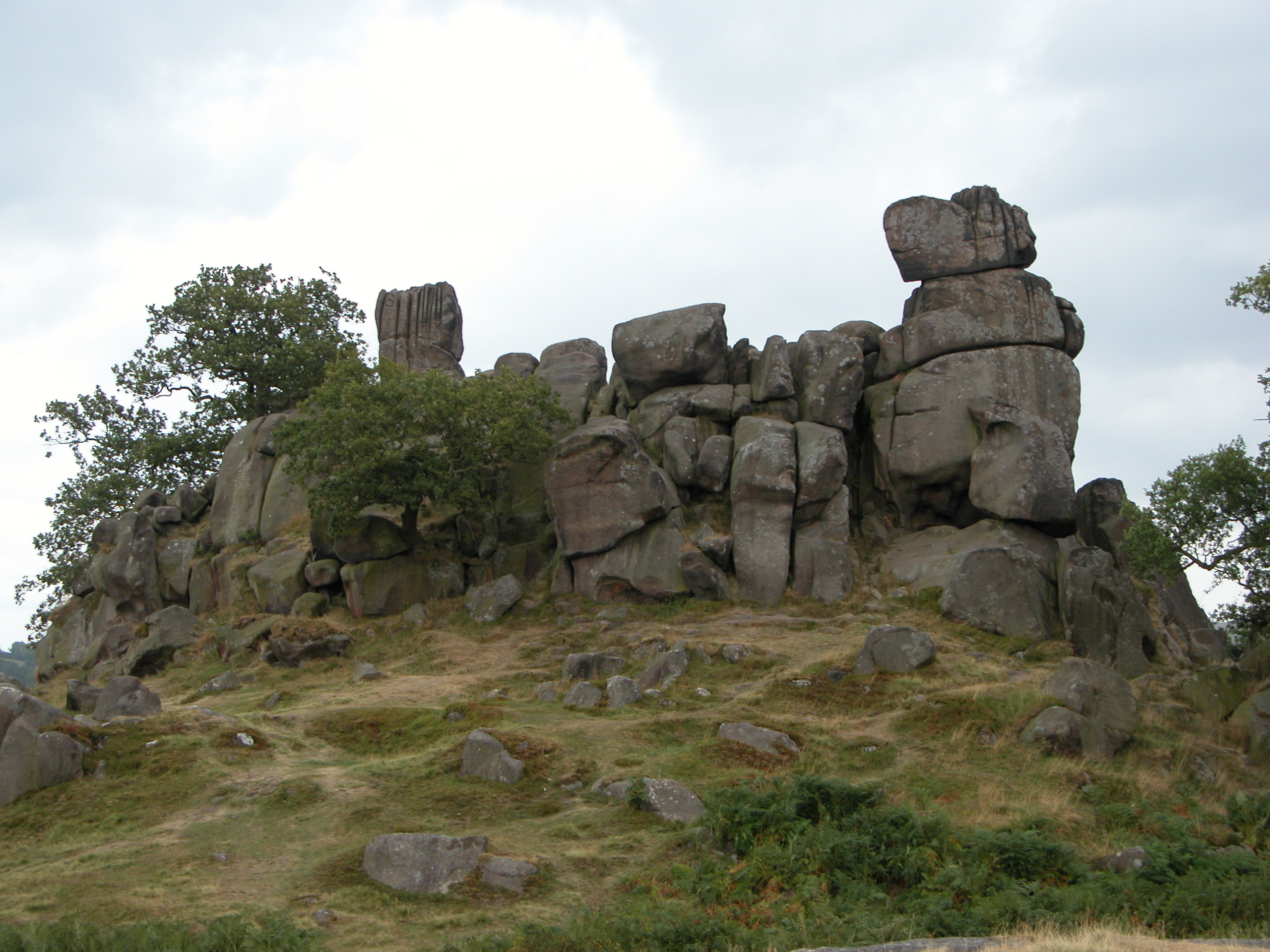
Robin Hood's Stride

Robin Hood's Stride (also known as Mock Beggar's Mansion) is a rock formation on the Limestone Way in Derbyshire close to the village of Elton. The nearest...

Gratton, Derbyshire

Gratton is a civil parish in the Derbyshire Dales district of central Derbyshire, half a mile west of the neighbouring village, Elton. == See also... ==

Harthill Moor

Harthill Moor is a small upland area in the Derbyshire Peak District of central and northern England, lying between Matlock and Bakewell near the villages...

Nine Stones Close

Nine Stones Close, also known as the Grey Ladies, is a stone circle on Harthill Moor in Derbyshire in the English East Midlands. It is part of a tradition...

Nearby Amenities

Located within 500m of 53.15039,-1.6770622
Passing Place
Lat/Long: 53.1508181/-1.6749987
Barrier: stile
Foot: yes
Lat/Long: 53.153941/-1.6808536
Barrier: stile
Material: stone
Source: survey;gps
Stile: squeezer
Lat/Long: 53.1475732/-1.6723377
Barrier: stile
Material: wood
Source: survey;gps
Stile: stepover
Lat/Long: 53.15224/-1.674304
Barrier: stile
Foot: yes
Material: wood
Source: survey;gps
Stile: stepover
Lat/Long: 53.1531775/-1.6741892
Bench
Backrest: yes
Colour: black
Ele: 248.1441650
Material: metal
Source: survey
Lat/Long: 53.149597/-1.676279
Ele: 245.0000000
Lat/Long: 53.1496093/-1.6763093
Barrier: stile
Material: stone
Stile: squeezer
Lat/Long: 53.1482912/-1.6751376
Barrier: stile
Ele: 243
Material: stone
Stile: squeezer
Lat/Long: 53.1472613/-1.6730545
Barrier: stile
Foot: yes
Material: stone
Source: survey;gps
Stile: stepover
Lat/Long: 53.1487395/-1.6776838
Barrier: stile
Foot: yes
Material: stone
Source: survey;gps
Stile: squeezer
Lat/Long: 53.1488697/-1.6788553
Barrier: stile
Foot: yes
Lat/Long: 53.1489062/-1.6757651
Barrier: stile
Foot: yes
Material: stone
Source: survey;gps
Stile: squeezer
Lat/Long: 53.1489813/-1.6795408
Barrier: stile
Foot: yes
Lat/Long: 53.1491473/-1.6812008
Barrier: stile
Foot: yes
Lat/Long: 53.1495424/-1.6826857
Barrier: stile
Foot: yes
Material: stone
Source: survey;gps
Stile: stepover
Lat/Long: 53.1502352/-1.6754077
Barrier: stile
Material: wood
Steps: 1
Stile: stepover
Lat/Long: 53.1509887/-1.6784721
Barrier: stile
Material: stone
Source: survey;gps
Stile: squeezer
Lat/Long: 53.1492703/-1.6733376
Barrier: stile
Material: stone
Source: survey;gps
Stile: squeezer
Lat/Long: 53.1519889/-1.6741997
Barrier: stile
Steps: 1
Stile: stepover
Lat/Long: 53.1496819/-1.6761856
Power: pole
Lat/Long: 53.1468873/-1.6816022
Power: pole
Lat/Long: 53.1483748/-1.6812126
Power: pole
Lat/Long: 53.1493253/-1.6809532
Power: pole
Lat/Long: 53.1502453/-1.6823149
Power: pole
Lat/Long: 53.1511508/-1.6836958
Burycliffe Quarry
Board Type: history
Description: Burycliffe Quarry, Burcliffe Troughs and Elton's Famous son
Information: board
Tourism: information
Lat/Long: 53.1495878/-1.6762788
Natural: spring
Lat/Long: 53.1496406/-1.6762375
Barrier: stile
Material: stone
Source: survey;gps
Stile: squeezer
Lat/Long: 53.150989/-1.6784728
Barrier: stile
Material: stone
Source: survey;gps
Stile: squeezer
Lat/Long: 53.1536153/-1.6797094
Barrier: stile
Material: wood
Source: survey;gps
Stile: stepover
Lat/Long: 53.1532972/-1.6747239
The data included in this document is from www.openstreetmap.org. The data is made available under ODbL.

Have you been to Bury Cliff Wood?

Leave your review of Bury Cliff Wood below (or comments, questions and feedback).