Quagmirebank Wood

Wood, Forest in Sussex Rother

England

Quagmirebank Wood

Fields South Of Ticehurst, East Sussex A view across fields to Ticehurst, from a footpath from Pashley Road to the Cherry Tree pub in Ticehurst.
Fields South Of Ticehurst, East Sussex Credit: Tim Knight

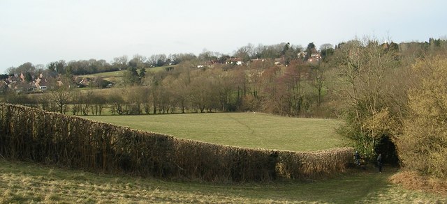
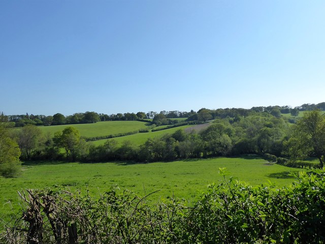
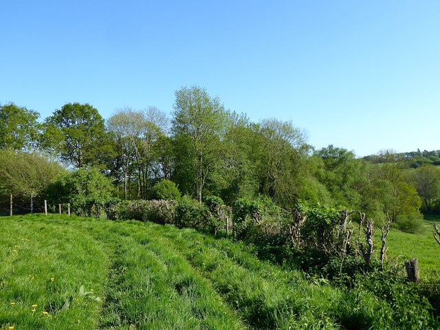
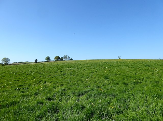
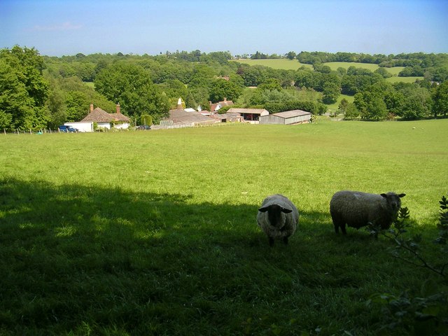
Quagmirebank Wood is a picturesque woodland located in the county of Sussex, England. Spanning over an area of approximately 100 acres, this enchanting forest is a haven for nature enthusiasts and wildlife lovers alike.

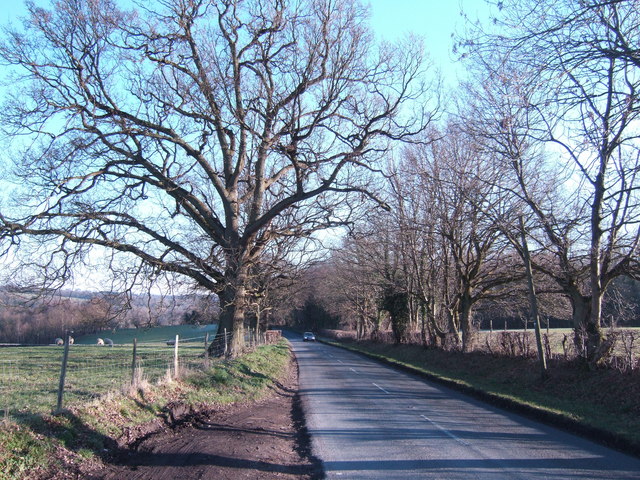
The wood is characterized by its dense foliage, comprising a variety of tree species such as oak, beech, and birch. The towering trees create a verdant canopy, casting dappled shadows on the forest floor. The ground is carpeted with a rich assortment of flora, including bluebells, primroses, and wild garlic, which flourish in the woodland's fertile soil.

Quagmirebank Wood is known for its diverse wildlife population, making it an ideal spot for birdwatchers and animal admirers. The wood is home to numerous bird species, including great tits, woodpeckers, and tawny owls. Visitors may also spot mammals like foxes, badgers, and squirrels, as well as a variety of insects and butterflies.

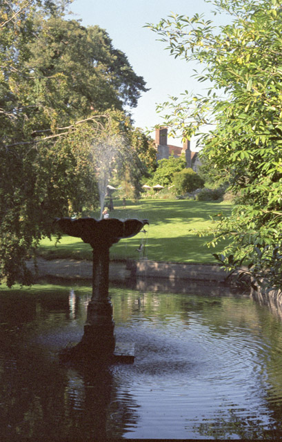
Traversing through the wood, visitors will find well-maintained footpaths and trails, allowing for leisurely walks and peaceful exploration. The tranquil ambiance, punctuated by the sounds of rustling leaves and chirping birds, provides a serene escape from the hustle and bustle of everyday life.

Quagmirebank Wood offers an immersive experience for nature enthusiasts and those seeking a tranquil retreat. Its natural beauty, diverse wildlife, and peaceful surroundings make it an idyllic destination for outdoor enthusiasts, families, and anyone looking to connect with nature in the heart of Sussex.

If you have any feedback on the listing, please let us know in the comments section below.

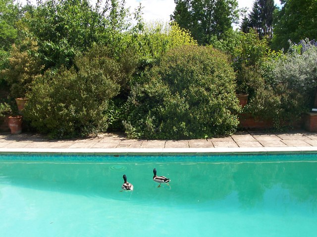
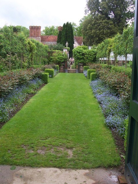
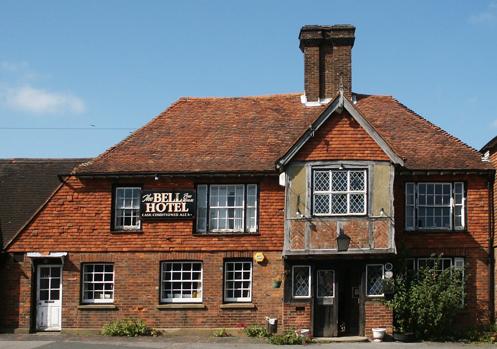
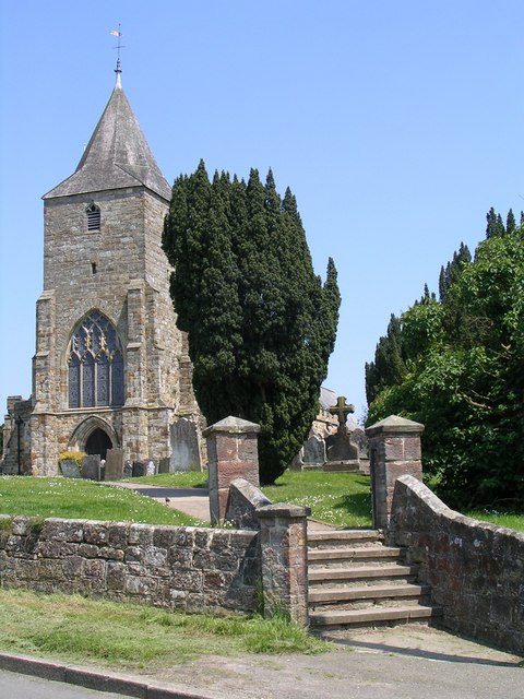
Quagmirebank Wood Images

Images are sourced within 2km of 51.044004/0.43494244 or Grid Reference TQ7030. Thanks to Geograph Open Source API. All images are credited.

Fields South Of Ticehurst, East Sussex A view across fields to Ticehurst, from a footpath from Pashley Road to the Cherry Tree pub in Ticehurst.
Fields South Of Ticehurst, East Sussex
A view across fields to Ticehurst, from a footpath from Pashley Road to the Cherry Tree pub in Ticehurst.
Eden Court, Ticehurst Former primary school building (to right of picture), now converted to apartments with additional new houses surrounding it. Grade II listed.

New primary school at <a href="https://www.geograph.org.uk/gridref/TQ695304">TQ695304</a>
Eden Court, Ticehurst
Former primary school building (to right of picture), now converted to apartments with additional new houses surrounding it. Grade II listed. New primary school at TQ695304
Pashley Road Towards Ticehurst
Pashley Road
Towards Ticehurst
Church Street, Ticehurst
Site of Furnacefield Wood The once extensive wood has now been reduced to a small square copse to the east of this, the western end of the former wood. The small valley contains the River Limden, a tributary of the River Rother.
Site of Furnacefield Wood
The once extensive wood has now been reduced to a small square copse to the east of this, the western end of the former wood. The small valley contains the River Limden, a tributary of the River Rother.
Furnacefield Wood All that remains of a once extensive wood located on the northern slope of a valley containing the River Limden to the north of Burgham. Named after the former 16th century Darfold Furnace.
Furnacefield Wood
All that remains of a once extensive wood located on the northern slope of a valley containing the River Limden to the north of Burgham. Named after the former 16th century Darfold Furnace.
Ancient Field The name of the field according to Etchingham's 1839 tithe map located to the north of Furnacefield Wood.
Ancient Field
The name of the field according to Etchingham's 1839 tithe map located to the north of Furnacefield Wood.
View across recreation ground from rear of village hall, Ticehurst Note the litter bin in the foreground and the beacon basket on the right hand side of the tree.
View across recreation ground from rear of village hall, Ticehurst
Note the litter bin in the foreground and the beacon basket on the right hand side of the tree.
Little Boarzell Farm A couple of sheep enjoy the shade in fields above Little Boarzell Farm, between Hurst Green and Ticehurst in East Sussex
Little Boarzell Farm
A couple of sheep enjoy the shade in fields above Little Boarzell Farm, between Hurst Green and Ticehurst in East Sussex
Pashley Manor Garden
Lay-by on the A21 Looking north towards Flimwell.
Lay-by on the A21
Looking north towards Flimwell.
A21 north towards London Opposite Boarzell
A21 north towards London
Opposite Boarzell
B2099 east of Ticehurst
Swiftsden Farm Oast, Ticehurst Road, Hurst Green, East Sussex Twin round kiln oast house, missing cowls.
Swiftsden Farm Oast, Ticehurst Road, Hurst Green, East Sussex
Twin round kiln oast house, missing cowls.
Oast House at Little Boarzell, Hurst Green Road, Ticehurst, East Sussex Single round kiln oast house.
Oast House at Little Boarzell, Hurst Green Road, Ticehurst, East Sussex
Single round kiln oast house.
Oast House Single square kiln oast house.
Oast House
Single square kiln oast house.
Ducks in Swimming Pool, Pashley Manor Gardens Gardens open to all.
Ducks in Swimming Pool, Pashley Manor Gardens
Gardens open to all.
Rose walk towards Pashley Manor Roses not in flower, but forget-me-nots underneath give springtime interest.
Rose walk towards Pashley Manor
Roses not in flower, but forget-me-nots underneath give springtime interest.
Show me another place!

Quagmirebank Wood is located at Grid Ref: TQ7030 (Lat: 51.044004, Lng: 0.43494244)

Administrative County: East Sussex

District: Rother

Police Authority: Sussex

What 3 Words

///doubt.heckler.sublime. Near Flimwell, East Sussex

Related Wikis

Ticehurst

Ticehurst is both a village and a large civil parish in the Rother district of East Sussex, England. The parish lies in the upper reaches of both the Bewl...

St Augustine's Church, Flimwell

St Augustine's Church is the Anglican parish church of Flimwell, a village in the Rother district of East Sussex, England. It was consecrated in 1839 after...

St Mary's Church, Ticehurst

St Mary's Church is a 14th-century parish church dedicated to St Mary the Virgin in Ticehurst, East Sussex, England. Part of the Diocese of Chichester...

Flimwell

Flimwell is a village in the civil parish of Ticehurst, in the Rother district of East Sussex, England. It is located close to the border with Kent at...

Ticehurst House Hospital

Ticehurst House Hospital was a mental health facility. It opened in 1792 and was owned and run by five generations of members of the Newington family until...

Combwell Priory

Combwell Priory was a priory near Bedgebury Cross about 10 miles southeast of Tunbridge Wells in Kent, England. == History == This is a Grade II listed...

Bedgebury Forest

Bedgebury Forest is a 10.5 square kilometres (2,600 acres) forest surrounding Bedgebury National Pinetum, near Flimwell in Kent. In contrast to the National...

Hurst Green, East Sussex

Hurst Green is a village and civil parish in the Rother district of East Sussex, England, and is located south of the East Sussex / Kent border at Flimwell...

Nearby Amenities

Located within 500m of 51.044004,0.43494244
Barrier: stile
Lat/Long: 51.0423446/0.4385497
Barrier: stile
Lat/Long: 51.0423863/0.43883
Barrier: stile
Lat/Long: 51.0427667/0.4364975
Barrier: stile
Lat/Long: 51.0427752/0.4405379
The data included in this document is from www.openstreetmap.org. The data is made available under ODbL.

Have you been to Quagmirebank Wood?

Leave your review of Quagmirebank Wood below (or comments, questions and feedback).