Glebe Belt

Wood, Forest in Norfolk King's Lynn and West Norfolk

England

Glebe Belt

Ringstead Downs Nature Reserve Looking back the way we have walked through the nature reserve.
Ringstead Downs Nature Reserve Credit: Malcolm Neal

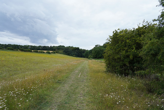
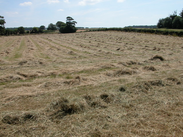
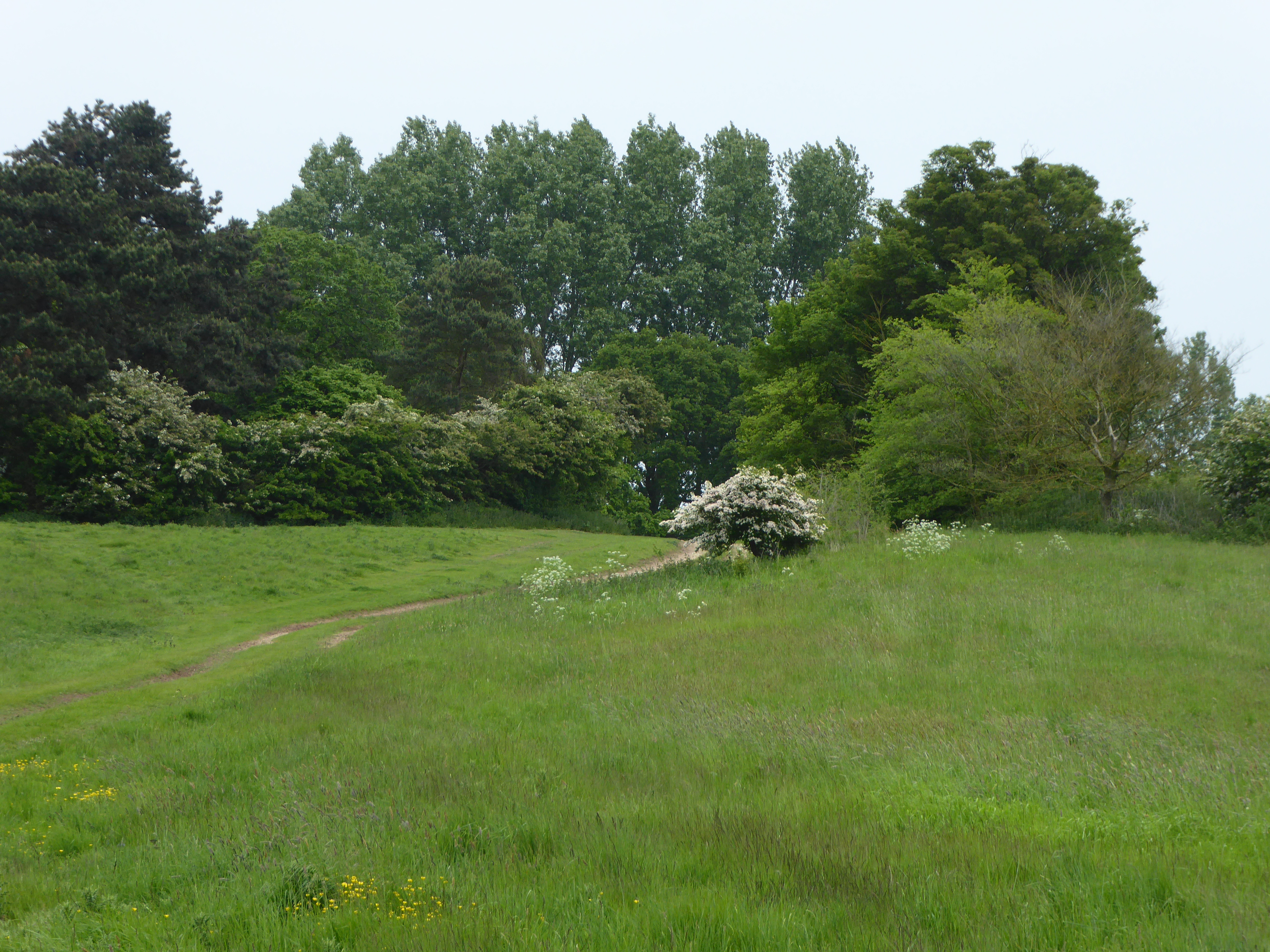
Glebe Belt, located in Norfolk, England, is a picturesque wood or forest area characterized by its natural beauty and diverse ecosystem. Spanning approximately 200 acres, this enchanting woodland is home to a multitude of flora and fauna, making it a popular destination for nature enthusiasts and hikers.

The Glebe Belt is predominantly composed of mature oak and beech trees, which provide a dense canopy, creating a cool and serene atmosphere. The forest floor is covered with a rich carpet of ferns, wildflowers, and mosses, adding to its aesthetic appeal. The dense foliage also offers shelter and nesting sites for a variety of bird species, including woodpeckers, owls, and warblers, making it a haven for birdwatchers.

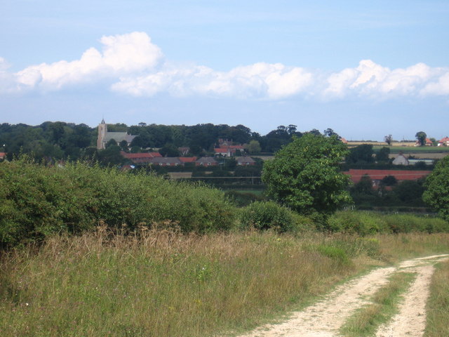
Traversing through the Glebe Belt, visitors can explore a network of well-maintained trails, allowing them to fully immerse themselves in the natural surroundings. These trails wind through the woodland, providing opportunities to spot wildlife such as deer, foxes, and rabbits. Moreover, there are designated picnic areas and benches scattered throughout, inviting visitors to take a break and enjoy a serene meal amidst the tranquility of the forest.

Managed by the local council, Glebe Belt is not only a recreational area but also plays a vital role in conserving the region's biodiversity. Regular monitoring and maintenance ensure the preservation of this unique habitat and encourage the growth of indigenous species.

Overall, with its stunning natural beauty, diverse wildlife, and well-managed facilities, Glebe Belt is an idyllic destination for those seeking to reconnect with nature and indulge in the serenity of a woodland environment.

If you have any feedback on the listing, please let us know in the comments section below.

Glebe Belt Images

Images are sourced within 2km of 52.917132/0.53853371 or Grid Reference TF7038. Thanks to Geograph Open Source API. All images are credited.

Ringstead Downs Nature Reserve Looking back the way we have walked through the nature reserve.
Ringstead Downs Nature Reserve
Looking back the way we have walked through the nature reserve.
Looking down the valley Looking down the valley before the side become really steep.
Looking down the valley
Looking down the valley before the side become really steep.
Sedgeford: the city limits
Field opposite Sedgeford Cemetery
Footpath sign opposite Sedgeford Cemetery
Entrance to Sedgeford Cemetery
Sedgeford Cemetery: late September 2023
Looking across a field towards Goodminns Estate
Looking across Sedgefor Cemetery towards Field Barn
Haymaking in Ringstead Hay almost ready for baling, in a field beside the road to the south of the village of Ringstead.
Haymaking in Ringstead
Hay almost ready for baling, in a field beside the road to the south of the village of Ringstead.
Disused drinking fountain The function of this object is assumed in the title but I may be wrong.  It may be unusual to see Blakeborough's products so far from Yorkshire, and I do not recall seeing anything like this in their catalogue.
Disused drinking fountain
The function of this object is assumed in the title but I may be wrong. It may be unusual to see Blakeborough's products so far from Yorkshire, and I do not recall seeing anything like this in their catalogue.
Peddars Way approaching Ringstead
View towards Sedgeford station (disused). View over beautiful Norfolk countryside towards the  disused Sedgeford Station, now part of a private residence.
View towards Sedgeford station (disused).
View over beautiful Norfolk countryside towards the disused Sedgeford Station, now part of a private residence.
West from Stormhill Plantation Seagulls are flocking behind the tractors as they harrow and drill the field.
West from Stormhill Plantation
Seagulls are flocking behind the tractors as they harrow and drill the field.
South from Stormhill Plantation The grey barns of East Hall Farm can just be seen on the horizon.

The field margin alongside this beet field has just been ploughed as part of a defra Environmental Stewardship Scheme.  Beyond the plough is a strip of grass and wild flowers and beyond starts the sugar beet.
South from Stormhill Plantation
The grey barns of East Hall Farm can just be seen on the horizon. The field margin alongside this beet field has just been ploughed as part of a defra Environmental Stewardship Scheme. Beyond the plough is a strip of grass and wild flowers and beyond starts the sugar beet.
Track south east from Stormhill Plantation A number of dry valleys converge here and Anglia Water have drilled a borehole for  water extraction from the underlying chalk. Part of the installation is visible ahead whilst the pumping station <a href="https://www.geograph.org.uk/photo/572393">TF7238 : Pumping station</a> is beyond behind the trees.
Track south east from Stormhill Plantation
A number of dry valleys converge here and Anglia Water have drilled a borehole for water extraction from the underlying chalk. Part of the installation is visible ahead whilst the pumping station TF7238 : Pumping station is beyond behind the trees.
Pumping station A number of dry valleys converge here and Anglia Water have drilled a borehole for water extraction from the underlying chalk.
Pumping station
A number of dry valleys converge here and Anglia Water have drilled a borehole for water extraction from the underlying chalk.
View north east from pumping station toward Stormhill Plantation A good impression is given of how rolling the Norfolk countryside is in this area.
View north east from pumping station toward Stormhill Plantation
A good impression is given of how rolling the Norfolk countryside is in this area.
Show me another place!

Glebe Belt is located at Grid Ref: TF7038 (Lat: 52.917132, Lng: 0.53853371)

Administrative County: Norfolk

District: King's Lynn and West Norfolk

Police Authority: Norfolk

What 3 Words

///midwinter.highlighted.rainy. Near Heacham, Norfolk

Related Wikis

Sedgeford railway station

Sedgeford was a railway station which served the village of Sedgeford in Norfolk, England. Opened by the West Norfolk Junction Railway in 1866, passenger...

Sedgeford Torc

The Sedgeford Torc is a broken Iron Age gold torc found near the village of Sedgeford in Norfolk. The main part of the torc was found during harrowing...
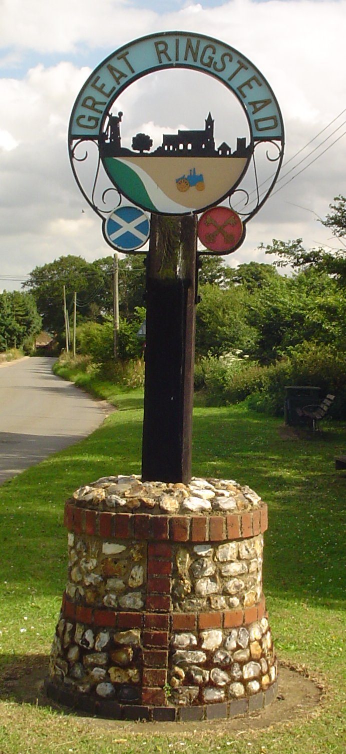
Ringstead, Norfolk

Ringstead is a village and civil parish in the north-west corner of the English county of Norfolk. It covers an area of 11.13 km2 (4.30 sq mi) and had...

Sedgeford

Sedgeford is a village and civil parish in the English county of Norfolk, about 5 miles south of the North Sea and 3 miles (4.8 km) east of the Wash. It...

Ringstead Downs

Ringstead Downs is a 6.9-hectare (17-acre) biological Site of Special Scientific Interest east of Hunstanton in Norfolk. It is in the Norfolk Coast Area...

Hunstanton Park Esker

Hunstanton Park Esker is a 17.3-hectare (43-acre) geological Site of Special Scientific Interest east of Hunstanton in Norfolk. The esker extends 1.5 km...

Heacham F.C.

Heacham Football Club is a football club based in Heacham, England. They are currently members of the Eastern Counties League Premier Division and play...

Heacham

Heacham is a large village in West Norfolk, England, overlooking The Wash. It lies between King's Lynn, 14 miles (23 km) to the south, and Hunstanton,...

Nearby Amenities

Located within 500m of 52.917132,0.53853371
The data included in this document is from www.openstreetmap.org. The data is made available under ODbL.

Have you been to Glebe Belt?

Leave your review of Glebe Belt below (or comments, questions and feedback).