Beeton's Plantation
Wood, Forest in Suffolk West Suffolk
England
Beeton's Plantation
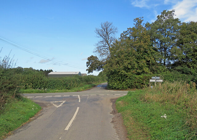
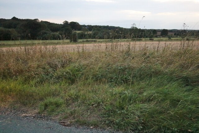
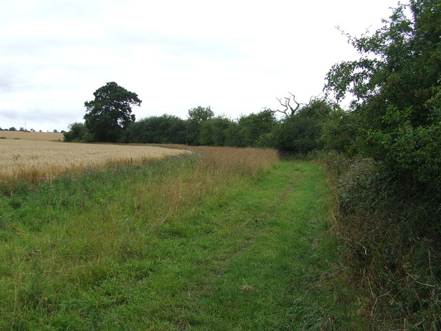
Beeton's Plantation is a picturesque woodland located in Suffolk, England. Covering an area of approximately 100 acres, it is known for its diverse range of flora and fauna, making it a popular destination for nature enthusiasts and hikers alike.
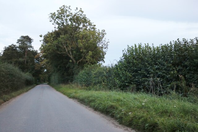
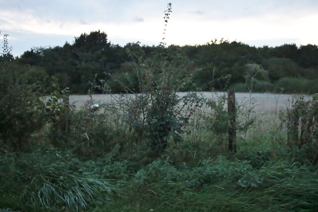
The plantation is characterized by its dense growth of deciduous trees, including oak, beech, and birch, which create a stunning canopy overhead. These trees provide ample shade and create a tranquil atmosphere that is perfect for long walks or picnics on sunny days. The forest floor is covered in a thick layer of moss, adding to the enchanting ambiance of the woodland.
Wildlife is abundant in Beeton's Plantation, with various species making their home within its boundaries. Birdwatchers can spot a variety of birds, such as woodpeckers, finches, and thrushes, flitting among the branches. Squirrels are a common sight, scurrying up and down the trees in search of food. Other animals, including deer and rabbits, can be spotted in the quieter areas of the plantation.
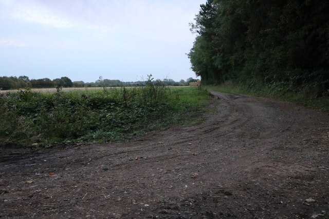
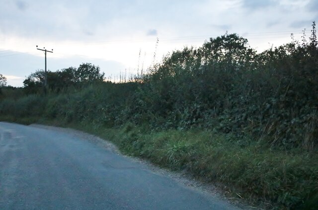
Several well-maintained trails wind their way through the plantation, offering visitors the opportunity to explore its beauty at their own pace. These paths lead to hidden clearings, babbling brooks, and small ponds, adding to the charm of the woodland.
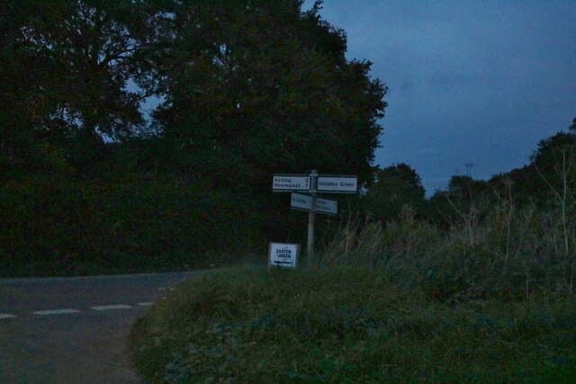
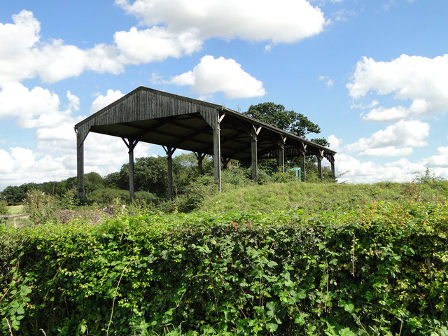
Beeton's Plantation is easily accessible, with a car park located nearby and public transportation options available. It is a place where nature enthusiasts can immerse themselves in the beauty of Suffolk's woodlands, enjoying the tranquility and serenity that the plantation has to offer.
If you have any feedback on the listing, please let us know in the comments section below.
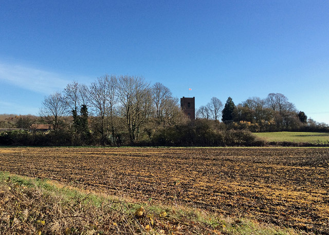
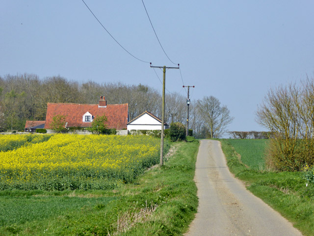
Beeton's Plantation Images
Images are sourced within 2km of 52.16396/0.49543495 or Grid Reference TL7054. Thanks to Geograph Open Source API. All images are credited.


Beeton's Plantation is located at Grid Ref: TL7054 (Lat: 52.16396, Lng: 0.49543495)
Administrative County: Suffolk
District: West Suffolk
Police Authority: Suffolk
What 3 Words
///hillside.trader.craftsman. Near Kedington, Suffolk
Nearby Locations
Related Wikis

Cowlinge
Cowlinge (/ˈkuː.lɪnʤ/), pronounced "Coolinje", is a village and civil parish in the West Suffolk district of Suffolk in eastern England close to the Cambridgeshire...

Kirtling
Kirtling, together with Kirtling Green and Kirtling Towers, is a scattered settlement in the south-eastern edge of the English county of Cambridgeshire...

Lidgate
Lidgate is a small village and a civil parish in the West Suffolk district, in the English county of Suffolk. Lidgate is located on the B1063 road in between...

HM Prison Highpoint North
HM Prison Highpoint North (formerly called Highpoint Prison and Edmunds Hill Prison) is a Category C men's prison, located in the village of Stradishall...
Upend
Upend is a hamlet in the east of Cambridgeshire. It is five miles (8.0 km) south-east of Newmarket and lies in the same parish as Kirtling. Until the...
HM Prison Highpoint South
HM Prison Highpoint South (formerly called Highpoint prison) is a Category C men's prison, located in the village of Stradishall (near Haverhill) in Suffolk...
Attleton Green
Attleton Green is a hamlet in Suffolk, England. == External links == Media related to Attleton Green at Wikimedia Commons

RAF Stradishall
Royal Air Force Stradishall or more simply RAF Stradishall is a former Royal Air Force station located 7 miles (11 km) north east of Haverhill, Suffolk...
Nearby Amenities
Located within 500m of 52.16396,0.49543495Have you been to Beeton's Plantation?
Leave your review of Beeton's Plantation below (or comments, questions and feedback).