Catlane Wood
Wood, Forest in Norfolk King's Lynn and West Norfolk
England
Catlane Wood

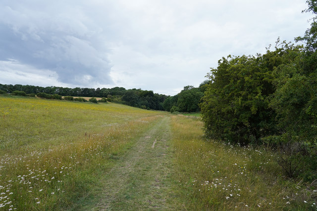
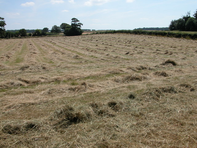
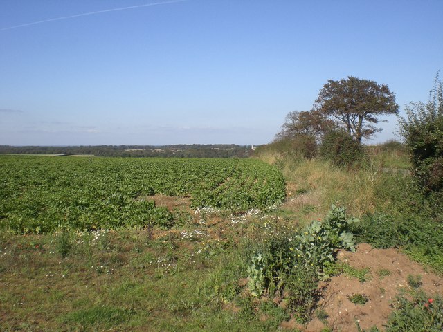
Catlane Wood is a charming woodland located in the county of Norfolk, England. Covering an area of approximately 50 acres, it is nestled in the heart of the Norfolk countryside, offering visitors a serene and picturesque natural environment to explore.
The wood features a diverse range of tree species, including oak, ash, beech, and birch, which create a lush and vibrant canopy throughout the year. The forest floor is adorned with a carpet of bluebells in the spring, adding a splash of color to the woodland landscape.
Catlane Wood is home to a rich variety of wildlife, making it a haven for nature enthusiasts and birdwatchers. Visitors may spot common woodland birds such as robins, blackbirds, and woodpeckers, as well as rarer species like tawny owls and buzzards. Squirrels, rabbits, and deer are also frequently seen, adding to the woodland's natural allure.
The wood is crisscrossed by a network of well-maintained walking trails, allowing visitors to explore its beauty at their own pace. These paths wind through the trees, providing glimpses of the surrounding countryside and allowing visitors to immerse themselves in the tranquil atmosphere.
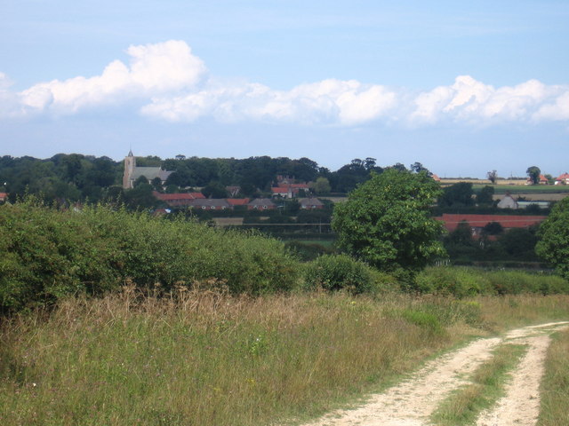
Catlane Wood is easily accessible, located just a short drive from nearby villages and towns. It offers ample parking facilities and basic amenities such as picnic areas, making it an ideal destination for families and nature lovers seeking a peaceful retreat.
Overall, Catlane Wood is a captivating woodland sanctuary, offering a delightful escape from the hustle and bustle of everyday life, and a chance to reconnect with nature.
If you have any feedback on the listing, please let us know in the comments section below.
Catlane Wood Images
Images are sourced within 2km of 52.919555/0.53073134 or Grid Reference TF7038. Thanks to Geograph Open Source API. All images are credited.


Catlane Wood is located at Grid Ref: TF7038 (Lat: 52.919555, Lng: 0.53073134)
Administrative County: Norfolk
District: King's Lynn and West Norfolk
Police Authority: Norfolk
What 3 Words
///declining.tripling.marble. Near Heacham, Norfolk
Nearby Locations
Related Wikis
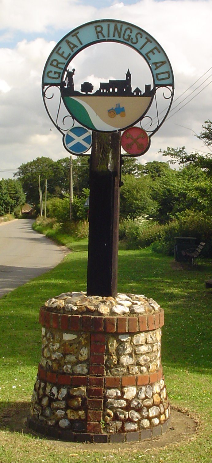
Ringstead, Norfolk
Ringstead is a village and civil parish in the north-west corner of the English county of Norfolk. It covers an area of 11.13 km2 (4.30 sq mi) and had...
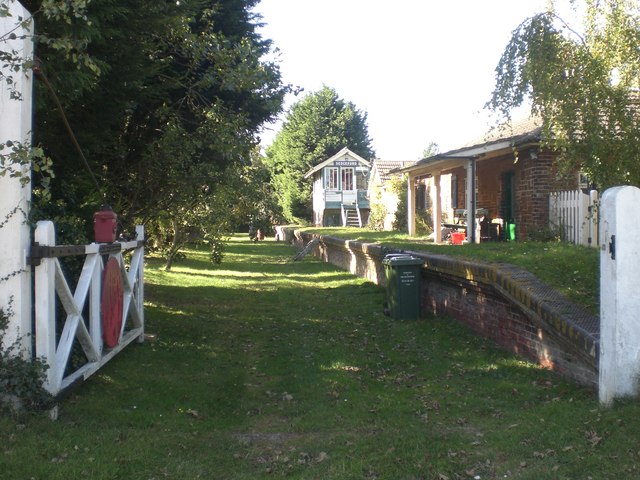
Sedgeford railway station
Sedgeford was a railway station which served the village of Sedgeford in Norfolk, England. Opened by the West Norfolk Junction Railway in 1866, passenger...

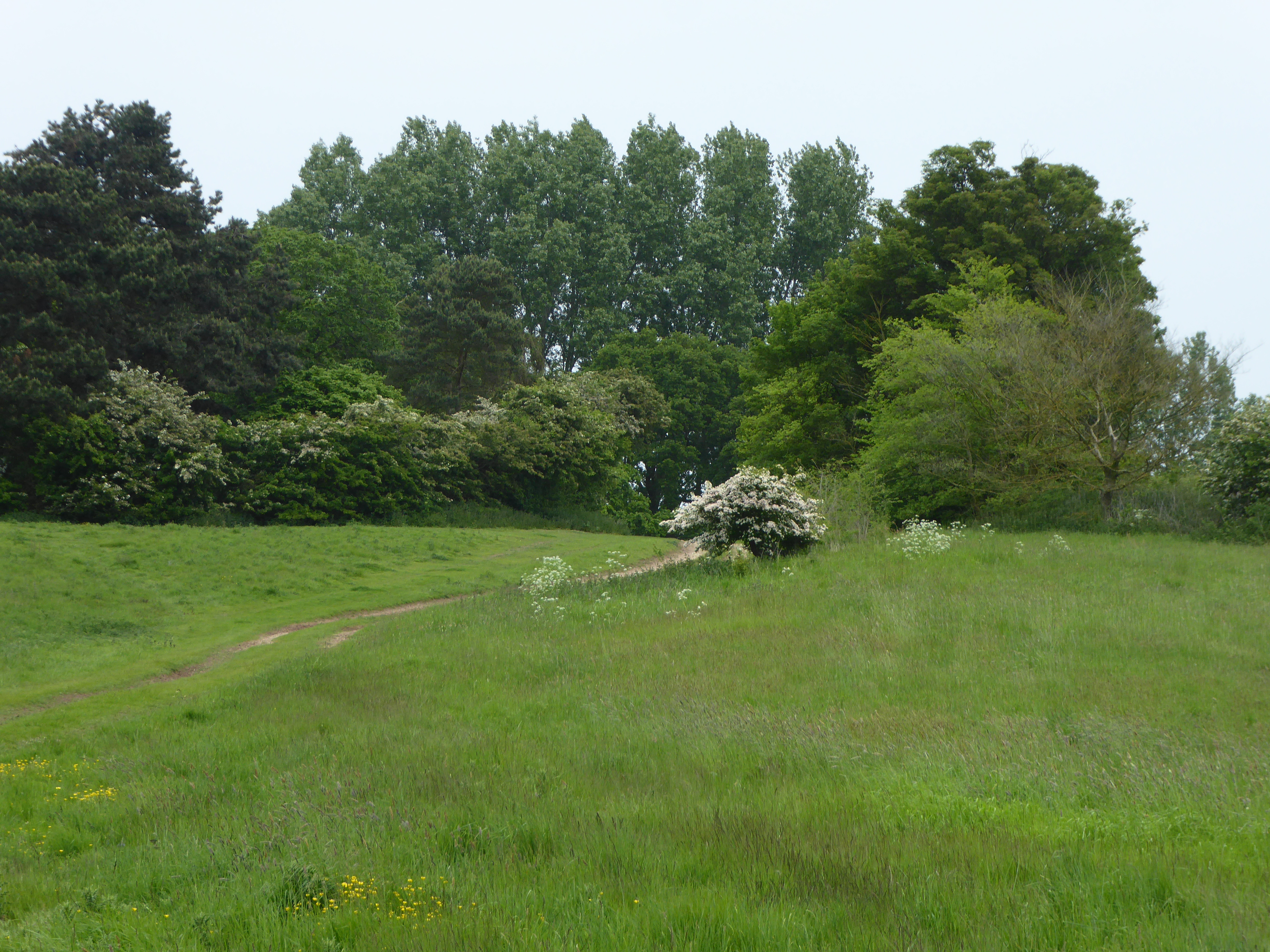
Ringstead Downs
Ringstead Downs is a 6.9-hectare (17-acre) biological Site of Special Scientific Interest east of Hunstanton in Norfolk. It is in the Norfolk Coast Area...

Sedgeford Torc
The Sedgeford Torc is a broken Iron Age gold torc found near the village of Sedgeford in Norfolk. The main part of the torc was found during harrowing...
Hunstanton Park Esker
Hunstanton Park Esker is a 17.3-hectare (43-acre) geological Site of Special Scientific Interest east of Hunstanton in Norfolk. The esker extends 1.5 km...
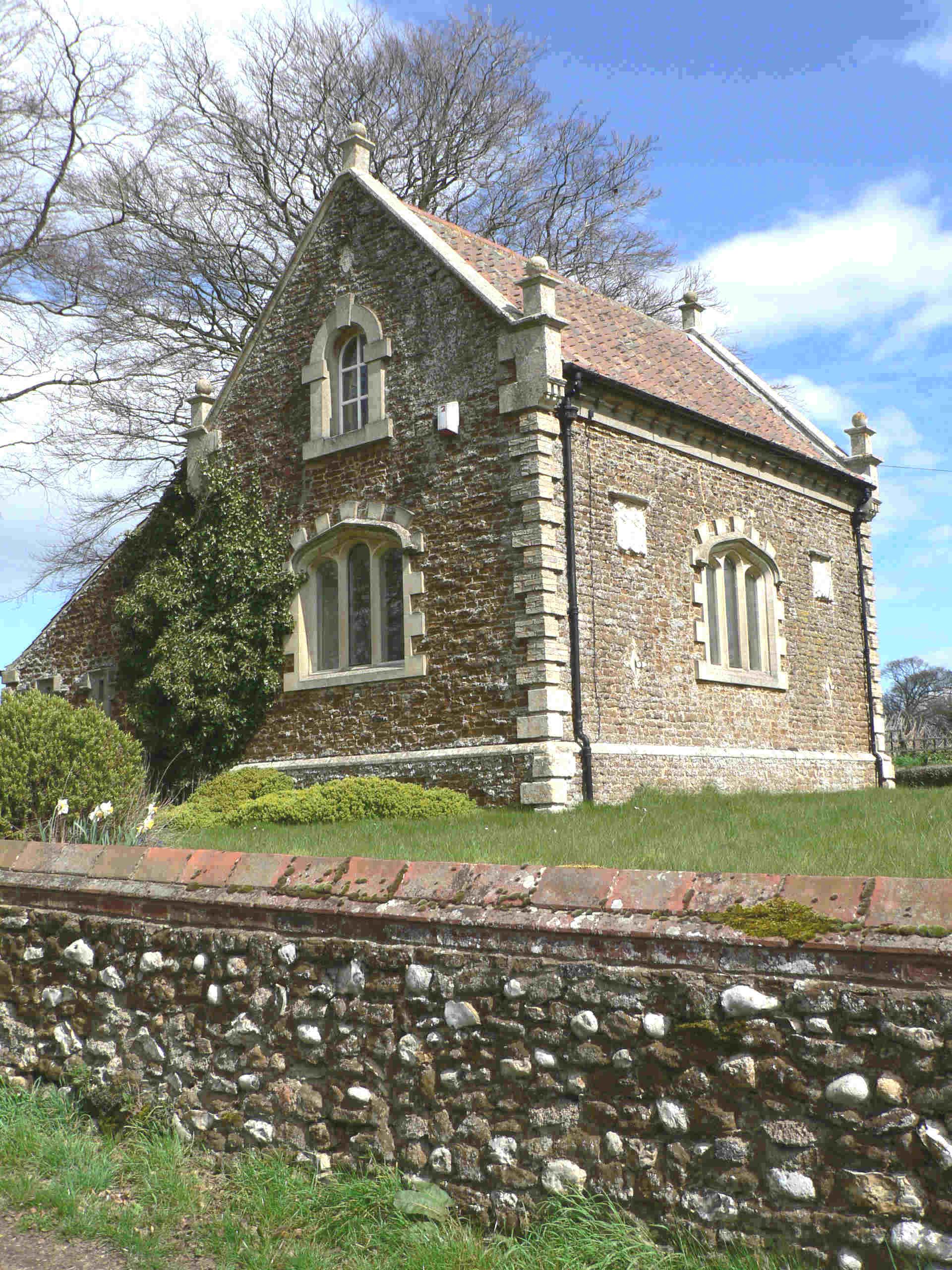
Sedgeford
Sedgeford is a village and civil parish in the English county of Norfolk, about 5 miles south of the North Sea and 3 miles (4.8 km) east of the Wash. It...

Heacham F.C.
Heacham Football Club is a football club based in Heacham, England. They are currently members of the Eastern Counties League Premier Division and play...
Paul Nicholas School of Acting & Performing Arts
The Paul Nicholas School of Acting & Performing Arts was a franchise of stage and performance schools created by actor and singer Paul Nicholas for young...
Nearby Amenities
Located within 500m of 52.919555,0.53073134Have you been to Catlane Wood?
Leave your review of Catlane Wood below (or comments, questions and feedback).