Lower Beech Belt
Wood, Forest in Suffolk West Suffolk
England
Lower Beech Belt
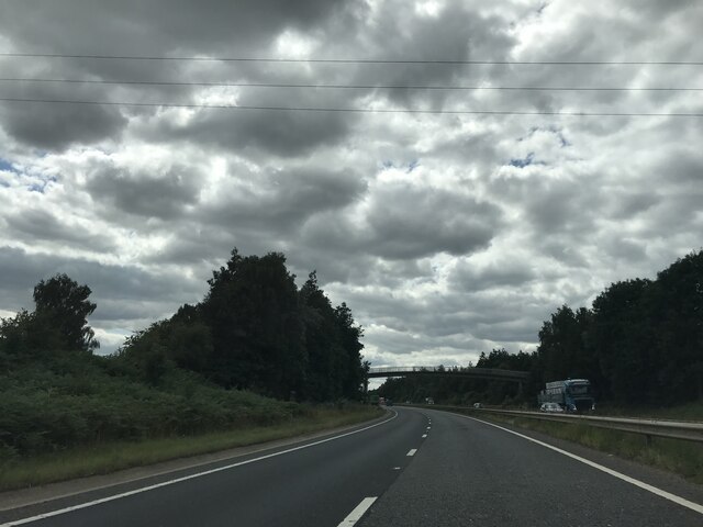
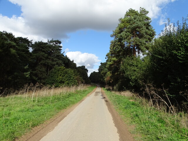
Lower Beech Belt is a picturesque woodland located in Suffolk, England. Situated in the eastern part of the county, the forest is known for its abundant beech trees, which lend the area its name. Covering an area of approximately 100 acres, Lower Beech Belt is a haven for nature enthusiasts and those seeking tranquility amidst the beauty of the natural world.
The forest is characterized by its dense, lush vegetation, with tall beech trees dominating the landscape. These trees provide a rich habitat for a variety of wildlife, including birds, small mammals, and insects. The forest floor is covered in a thick carpet of fallen leaves, creating a peaceful and serene ambiance.
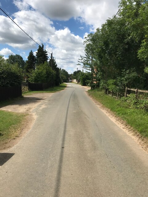
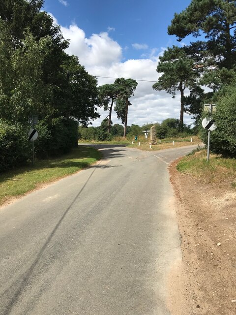
Lower Beech Belt offers numerous walking trails and paths, allowing visitors to explore the woodland at their own pace. The trails wind through the forest, offering breathtaking views of the trees and the surrounding countryside. Along the way, visitors may encounter vibrant wildflowers, moss-covered logs, and the occasional glimpse of a deer or fox.
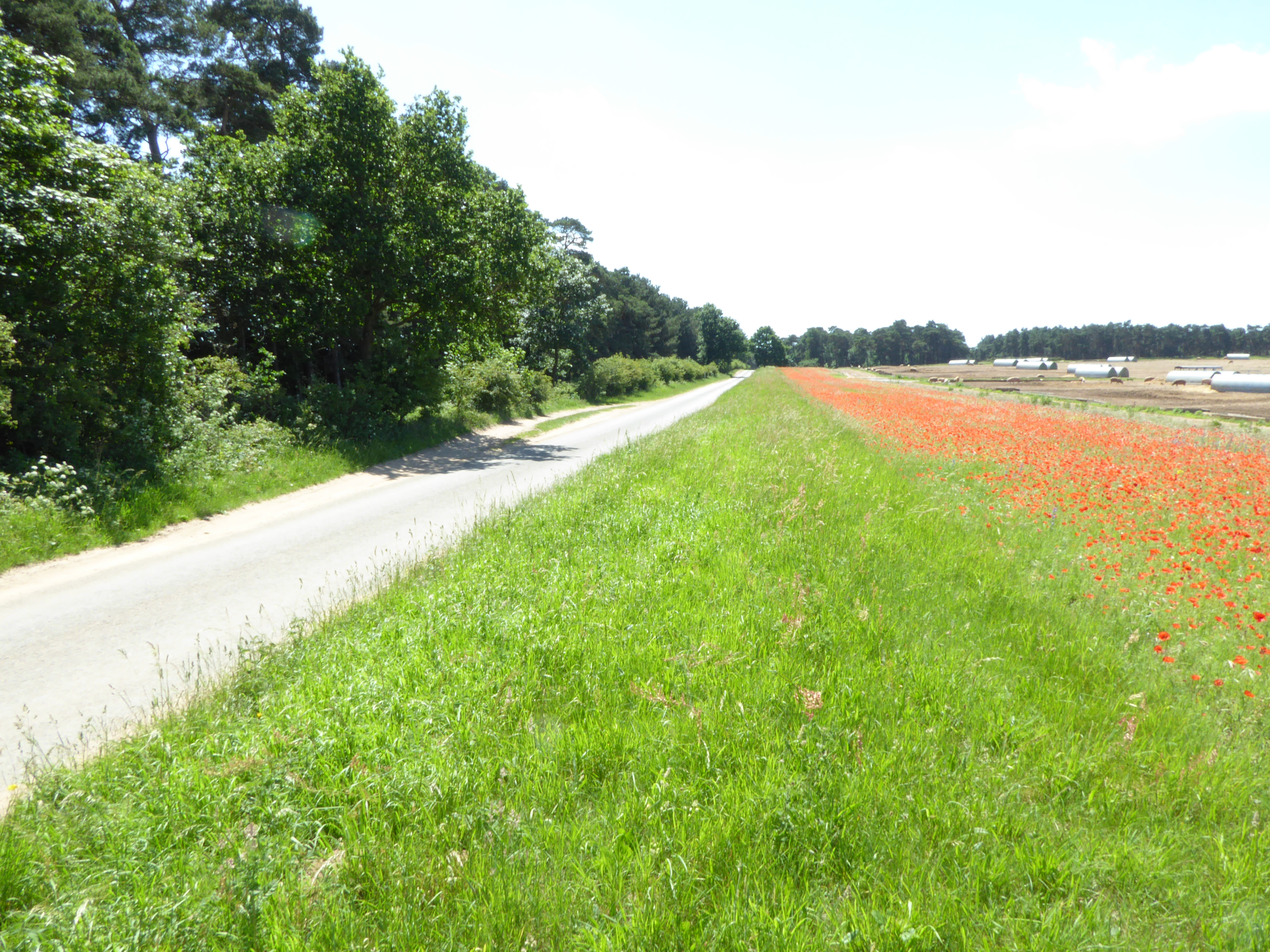
The woodland is also home to a diverse range of plant species, including bluebells, primroses, and ferns, which add to the area's natural beauty. During the spring and summer months, the forest comes alive with vibrant colors and the sweet scent of blooming flowers.
Lower Beech Belt is a popular destination for outdoor activities such as hiking, birdwatching, and photography. The peaceful atmosphere and stunning scenery make it an ideal spot for nature lovers and those looking to escape the hustle and bustle of everyday life.
If you have any feedback on the listing, please let us know in the comments section below.
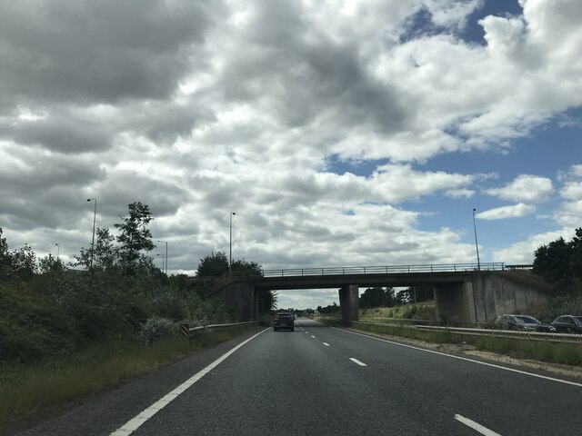
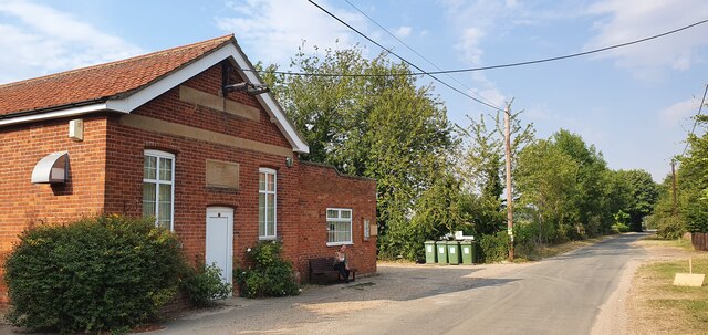
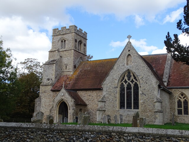
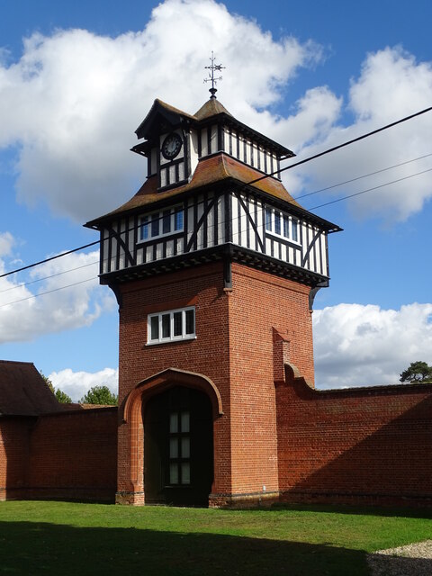
Lower Beech Belt Images
Images are sourced within 2km of 52.312766/0.50400447 or Grid Reference TL7071. Thanks to Geograph Open Source API. All images are credited.


Lower Beech Belt is located at Grid Ref: TL7071 (Lat: 52.312766, Lng: 0.50400447)
Administrative County: Suffolk
District: West Suffolk
Police Authority: Suffolk
What 3 Words
///musically.squares.advancing. Near Mildenhall, Suffolk
Nearby Locations
Related Wikis

Red Lodge, Suffolk
Red Lodge is a village and civil parish situated in rural Suffolk, England, between Mildenhall and Newmarket, and very close to the A11 and A14 roads....

Shi-Tennoji School in UK
Shi-Tennoji School in UK (英国四天王寺学園, Eikoku Shitennōji Gakuen) was a Japanese international secondary school in Herringswell, Suffolk, England, United Kingdom...

Herringswell
Herringswell is a village and civil parish in the West Suffolk district of Suffolk in eastern England. In 2005 it had a population of 190. In 2007 there...
Cherry Hill and The Gallops, Barton Mills
Cherry Hill and The Gallops, Barton Mills is a 10.4-hectare (26-acre) biological Site of Special Scientific Interest south of Barton Mills in Suffolk....

Red Lodge Heath
Red Lodge Heath is a 20.8-hectare (51-acre) biological Site of Special Scientific Interest in Red Lodge in Suffolk.Habitats on this site are chalk grassland...
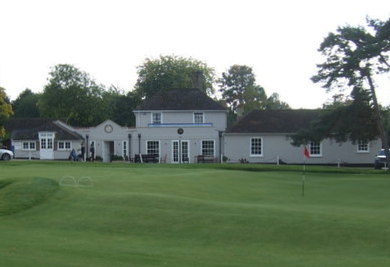
Royal Worlington and Newmarket Golf Club
The Royal Worlington and Newmarket Golf Club is a golf club located near Bury St Edmunds in Suffolk, England. The nine-hole layout is consistently ranked...
Cambridge University Golf Club
The Cambridge University Golf Club is the golf club for the University of Cambridge, England. It comprises the Blues team, the second-team Cambridge University...
Worlington Golf Links Halt railway station
Worlington Golf Links Halt railway station was a railway station on the Cambridge to Mildenhall railway. It served the village of Worlington, Suffolk,...
Related Videos
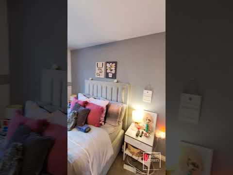
Wintergreen Road, Red Lodge
Ensum Brown are delighted to offer for sale this refurbished first-floor maisonette in Red Lodge. This property would make an ...

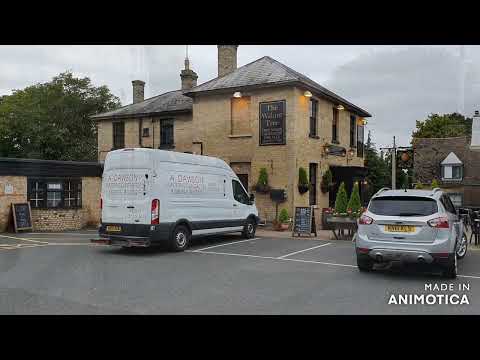
BMW R1250RT & TRIUMPH T120 RIDE TO THE FOLK CAFE BURY ST EDMUNDS
MSF RiderCoach My Thoughts BMW R 1250 RT Triumph Bonneville T120 @stayhome #withme #notstayinghome #athome How ...
Worlington
BALMFORTH ESTATE AGENTS with offices in MILDENHALL & BECK ROW offer an extensive range of property related services ...
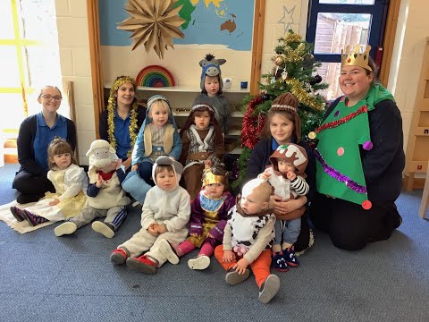
Christmas At Colourbox 2020 - Red Lodge Celebrations!
The children and staff at Red Lodge celebrate Christmas the Colourbox way! Wishing all of our Red Lodge families a very Merry ...
Nearby Amenities
Located within 500m of 52.312766,0.50400447Have you been to Lower Beech Belt?
Leave your review of Lower Beech Belt below (or comments, questions and feedback).