Alder Car

Wood, Forest in Essex Braintree

England

Alder Car

A brown field, Bardfield Saling
A brown field, Bardfield Saling Credit: Robin Webster

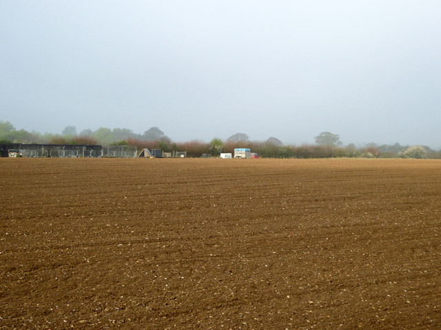
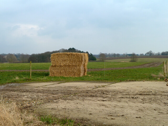
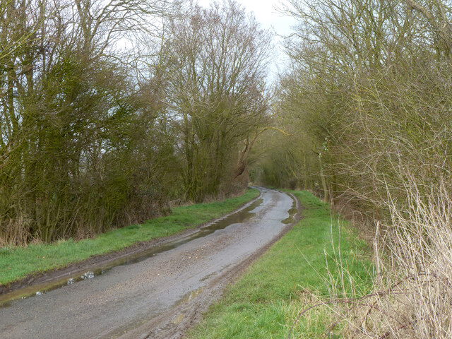
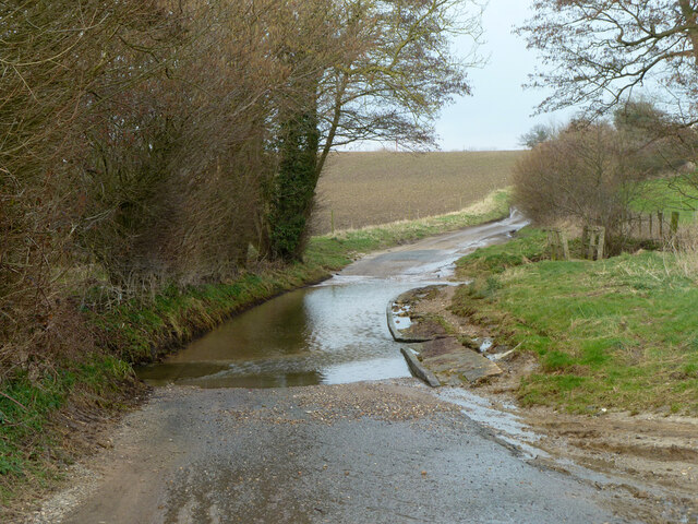
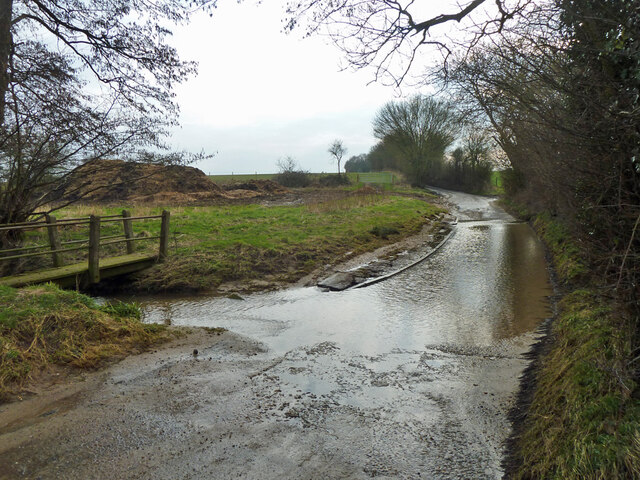
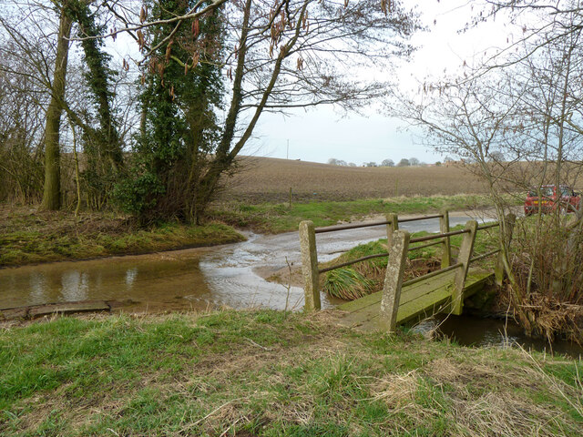
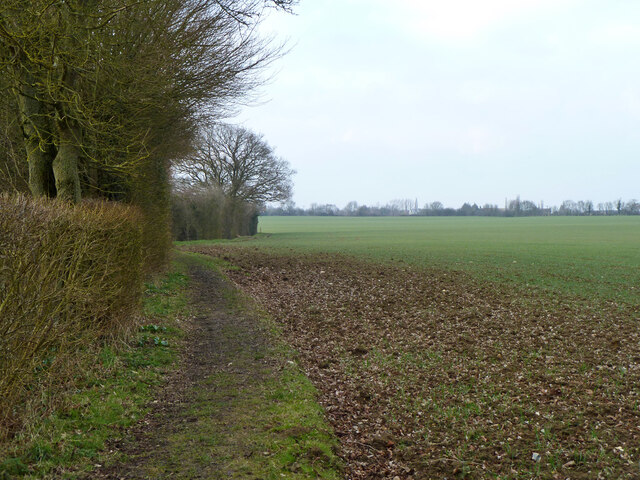
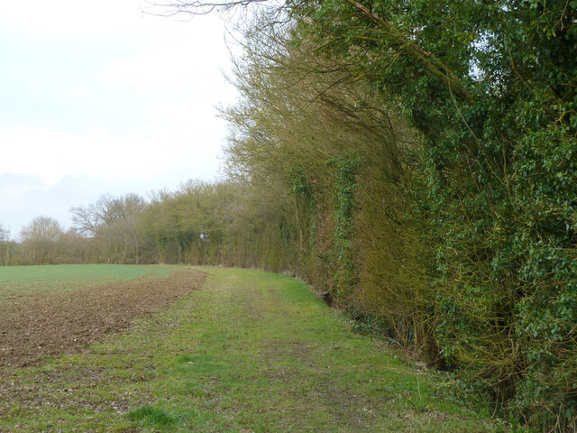
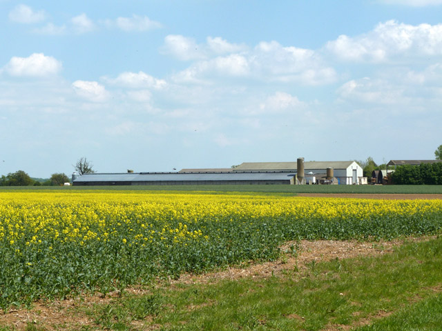
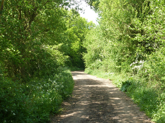
Alder Car is a picturesque woodland area located in Essex, England. Covering an expansive area, it is known for its dense growth of alder trees, which give the car its name. The woodland is situated in the heart of Essex's forest region, surrounded by a diverse range of flora and fauna.

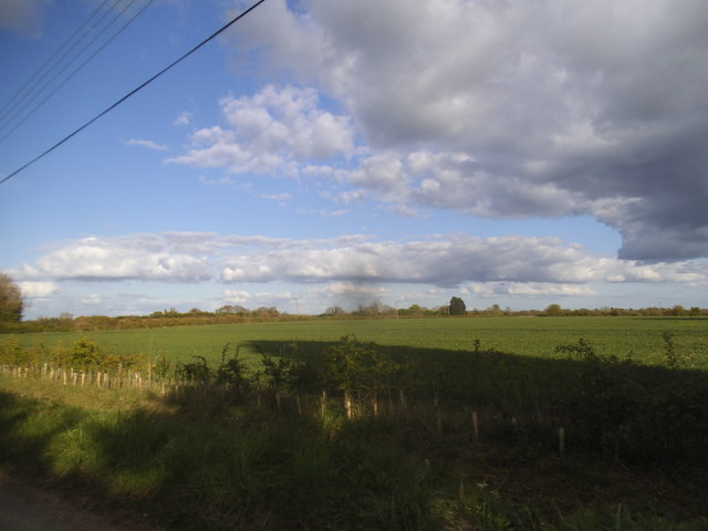
The alder trees dominate the landscape, creating a lush green canopy that provides shade and shelter for various species of birds, insects, and small mammals. The car is particularly renowned for its vibrant display of wildflowers during the spring season, adding splashes of color to the forest floor.

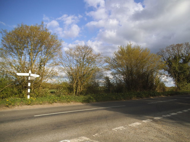
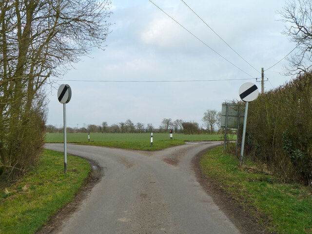
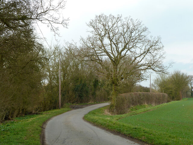
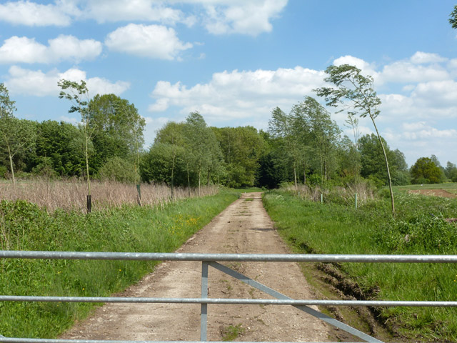
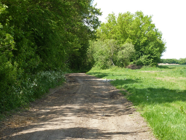
Alder Car is a popular destination for nature enthusiasts and outdoor enthusiasts alike. The woodland offers a range of walking trails and paths, allowing visitors to explore and immerse themselves in the natural beauty of the area. It is also a haven for birdwatchers, with a variety of avian species making their home in the car throughout the year.

The car is well-maintained and managed by local authorities, ensuring that it remains a haven for wildlife and a pleasant environment for visitors. Facilities such as picnic areas and benches are available for those looking to relax and enjoy the peaceful surroundings.

Alder Car, Essex, provides a serene and tranquil escape from the hustle and bustle of city life. With its rich biodiversity and stunning natural scenery, it is a must-visit destination for anyone seeking to reconnect with nature.

If you have any feedback on the listing, please let us know in the comments section below.
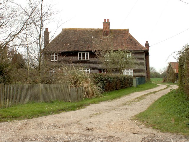
Alder Car Images

Images are sourced within 2km of 51.915374/0.48185659 or Grid Reference TL7027. Thanks to Geograph Open Source API. All images are credited.

A brown field, Bardfield Saling
Bardfield Road
Bardfield Road
Field in New Green, Bardfield Saling
Sign entering Bardfield Saling
Direction Sign – Signpost at New Green Farm, Plums Lane Located at New Green Farm, on the east side of a T-junction on Plums Lane, New Green in The Salings parish. No arms and no finial. Manufactured by Maldon Iron Works. See also <span class="nowrap"><a title="https://www.flickr.com/photos/13171205@N08/5468869329/in/set-72157602024604218" rel="nofollow ugc noopener" href="https://www.flickr.com/photos/13171205@N08/5468869329/in/set-72157602024604218">Link</a><img style="margin-left:2px;" alt="External link" title="External link - shift click to open in new window" src="https://s1.geograph.org.uk/img/external.png" width="10" height="10"/></span>.

Milestone Society National ID: EX_TL6927
Direction Sign – Signpost at New Green Farm, Plums Lane
Located at New Green Farm, on the east side of a T-junction on Plums Lane, New Green in The Salings parish. No arms and no finial. Manufactured by Maldon Iron Works. See also LinkExternal link. Milestone Society National ID: EX_TL6927
Straw bales by hardstanding, Boarded Barns Road
Boarded Barns Road Towards Shalford Green.
Boarded Barns Road
Towards Shalford Green.
Boarded Barns Road fords Pods Brook The lane is called Littles Lane ahead, it probably changes name at the brook crossing, where there is a parish boundary.
Boarded Barns Road fords Pods Brook
The lane is called Littles Lane ahead, it probably changes name at the brook crossing, where there is a parish boundary.
Littles Lane fords Pods Brook The lane is called Boarded Barns Road ahead, it probably changes name at the brook crossing, where there is a parish boundary.
Littles Lane fords Pods Brook
The lane is called Boarded Barns Road ahead, it probably changes name at the brook crossing, where there is a parish boundary.
Footbridge and ford across Pods Brook
Junction east of Jasper's Green No signposts for what goes where.
Junction east of Jasper's Green
No signposts for what goes where.
Water Lane east of Jasper's Green Towards the B1053 and points north.
Water Lane east of Jasper's Green
Towards the B1053 and points north.
Footpath 48 Shalford From Jasper's Green to Garretts Lane near Parsonage Farm.
Footpath 48 Shalford
From Jasper's Green to Garretts Lane near Parsonage Farm.
Field edge, Jasper's Green Not a public route.
Field edge, Jasper's Green
Not a public route.
Gated track off Rayne - Shalford Road Giving access to ponds and plantations.
Gated track off Rayne - Shalford Road
Giving access to ponds and plantations.
Hubbard's Farm A poultry farm.
Hubbard's Farm
A poultry farm.
Parkend Lane A public byway.
Parkend Lane
A public byway.
Parkend Lane A public byway.
Parkend Lane
A public byway.
Show me another place!

Alder Car is located at Grid Ref: TL7027 (Lat: 51.915374, Lng: 0.48185659)

Administrative County: Essex

District: Braintree

Police Authority: Essex

What 3 Words

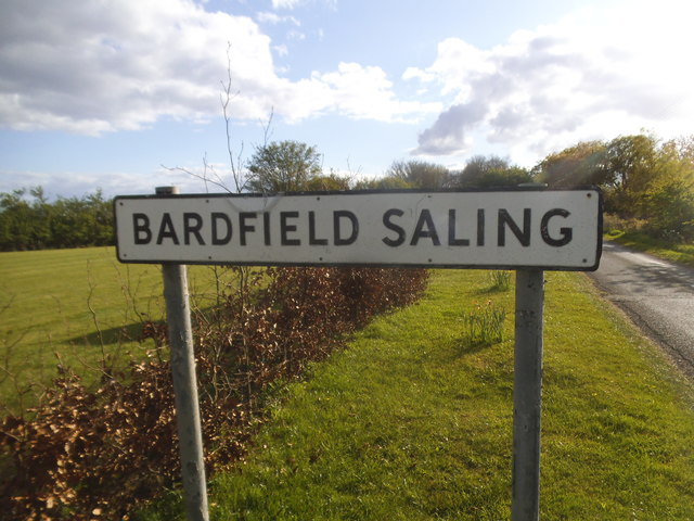
///proof.flush.roses. Near Great Bardfield, Essex

Nearby Locations

Alder Car

Related Wikis

Jasper's Green

Jasper's Green is a hamlet in the civil parish of Shalford and the Braintree district of Essex, England. The town of Braintree is 3 miles (5 km) to the...

The Salings

The Salings is a civil parish in the Braintree District in Essex, England. It includes Bardfield Saling and Great Saling. The civil parish has 475 inhabitants...

Great Saling

Great Saling is a village and former civil parish, now in the parish of The Salings, in the Braintree district of the county of Essex, England. The population...

Church End, Shalford

Church End is a hamlet in the civil parish of Shalford, and the Braintree district of Essex, England. The parish village of Shalford is less than 1 mile...

Braintree Rural District

Braintree Rural District was a rural district in the county of Essex, England. It was created in 1894. In 1934 the parish of Bocking was removed from the...

Bardfield Saling

Bardfield Saling is a village and former civil parish, now in the parish of The Salings, in the Braintree district, in the county of Essex, England. It...
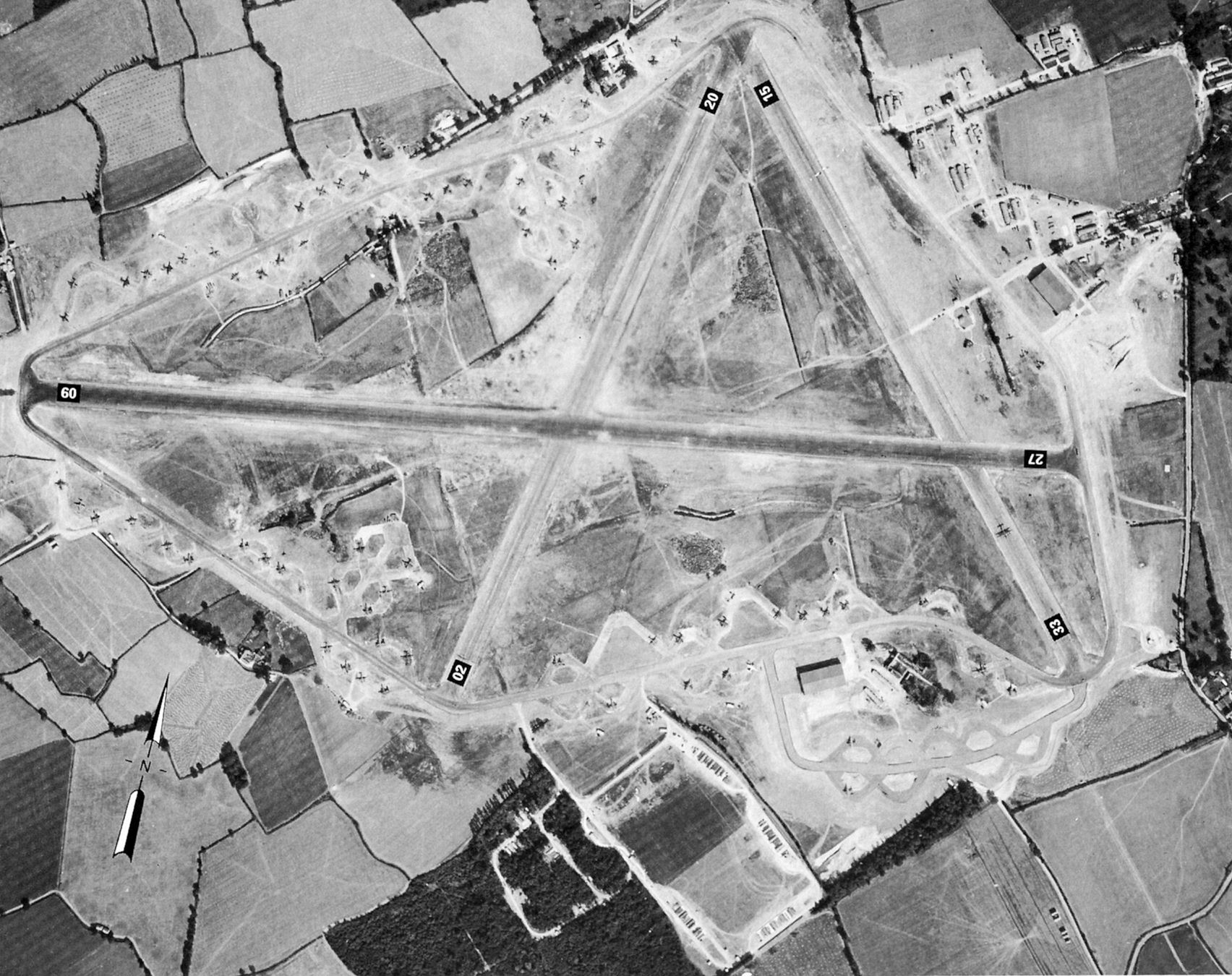
RAF Andrews Field

Royal Air Force Andrews Field or more simply RAF Andrews Field (also known as RAF Andrewsfield and RAF Great Saling) is a former Royal Air Force station...

Shalford, Essex

Shalford is a village and civil parish in the Braintree district of Essex, England. The village is approximately 4 miles (6 km) north from Braintree on...

Nearby Amenities

Located within 500m of 51.915374,0.48185659
Ford: yes
Lat/Long: 51.9182491/0.4772231
Bus Stop
Bays Farm
Bus: yes
Naptan AtcoCode: 150024005010
Naptan Bearing: SW
Naptan BusStopType: CUS
Naptan CommonName: Bays Farm
Naptan Indicator: Opp
Naptan Landmark: Bays Farm
Naptan NaptanCode: esxdjatp
Naptan Street: Shalford Green Road
Naptan Verified: no
Public Transport: platform
Source: naptan_import
Lat/Long: 51.9170212/0.487279
Bus Stop
Bays Farm
Bus: yes
Naptan AtcoCode: 1500240050Y0
Naptan Bearing: NE
Naptan BusStopType: CUS
Naptan CommonName: Bays Farm
Naptan Indicator: o/s
Naptan Landmark: Bays Farm
Naptan NaptanCode: esxgwtdw
Naptan Street: Shalford Green Road
Naptan Verified: no
Public Transport: platform
Source: naptan_import
Lat/Long: 51.9170587/0.4872084
Power: pole
Lat/Long: 51.9117673/0.4860538
Power: pole
Lat/Long: 51.9128445/0.4866976
Power: pole
Lat/Long: 51.9132664/0.4871401
Power: pole
Lat/Long: 51.9137081/0.4875773
Power: pole
Lat/Long: 51.9141863/0.488044
Power: pole
Lat/Long: 51.9148266/0.4886448
Power: pole
Lat/Long: 51.9152518/0.489133
Post Box
Operator: Royal Mail
Post Box Type: lamp
Ref: CM7 6D
Royal Cypher: EIIR
Lat/Long: 51.9165522/0.486715
The data included in this document is from www.openstreetmap.org. The data is made available under ODbL.

Have you been to Alder Car?

Leave your review of Alder Car below (or comments, questions and feedback).