Fleet Wood
Wood, Forest in Sussex Rother
England
Fleet Wood

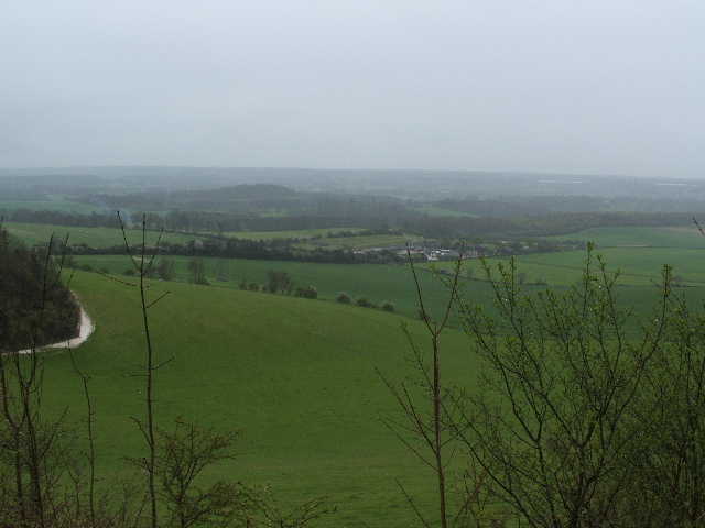
Fleet Wood, Sussex is a picturesque and enchanting forest located in the county of Sussex, England. Covering an expansive area of approximately 10 square miles, Fleet Wood is known for its serene natural beauty and captivating atmosphere.
The forest is predominantly made up of various species of trees, including towering oak, beech, and pine trees, creating a lush and verdant landscape. The dense canopy provides a sheltered habitat for a wide array of wildlife, making it a popular destination for nature enthusiasts and birdwatchers.
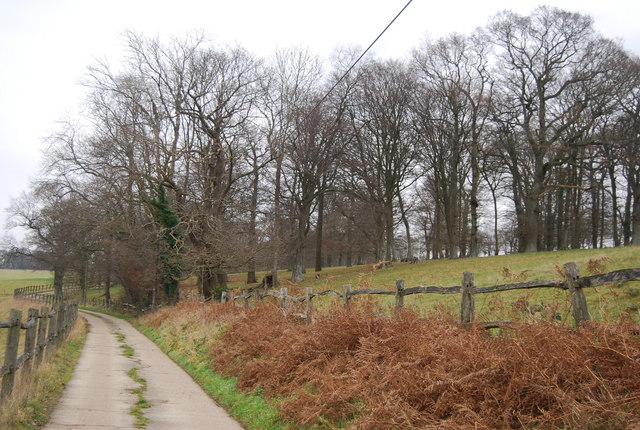
Tranquil walking trails wind their way through the forest, allowing visitors to immerse themselves in the peaceful surroundings and experience the calming effect of nature. These trails range in difficulty, catering to both casual strollers and avid hikers. Along the paths, visitors may stumble upon secluded clearings, babbling brooks, and small ponds, adding to the overall allure of the woodland.
Fleet Wood is also steeped in history, with evidence of human settlement dating back to the Iron Age. Ruins of ancient structures and remnants of past civilizations can still be found within the forest, providing a glimpse into the rich history of the area.
The forest is easily accessible, with numerous parking areas and designated picnic spots available for visitors. Additionally, there are nearby amenities, such as cafes and visitor centers, where individuals can gather information and learn more about the local flora and fauna.
Overall, Fleet Wood, Sussex is a captivating destination that offers a serene escape from the hustle and bustle of everyday life. Its natural beauty, diverse wildlife, and historical significance make it a must-visit location for those seeking tranquility and a deeper connection with nature.
If you have any feedback on the listing, please let us know in the comments section below.
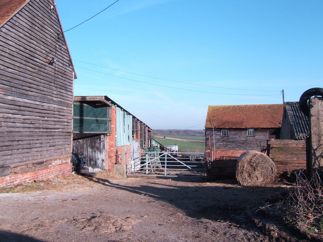
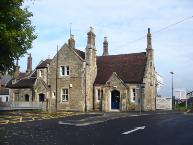
Fleet Wood Images
Images are sourced within 2km of 51.022097/0.43397955 or Grid Reference TQ7027. Thanks to Geograph Open Source API. All images are credited.


Fleet Wood is located at Grid Ref: TQ7027 (Lat: 51.022097, Lng: 0.43397955)
Administrative County: East Sussex
District: Rother
Police Authority: Sussex
What 3 Words
///ruffling.level.round. Near Ticehurst, East Sussex
Nearby Locations
Related Wikis
Etchingham railway station
Etchingham railway station is on the Hastings line in the south of England and serves the village of Etchingham, East Sussex. It is 47 miles 34 chains...

Haremere Hall
Haremere Hall is a Grade I listed Jacobean building near Etchingham, East Sussex. == Location == The hall is approximately 11,000-square-foot (1,000 m2...

Etchingham
Etchingham is a village and civil parish in the Rother district of East Sussex in southern England. The village is located approximately 15 miles (24 km...

Hurst Green, East Sussex
Hurst Green is a village and civil parish in the Rother district of East Sussex, England, and is located south of the East Sussex / Kent border at Flimwell...
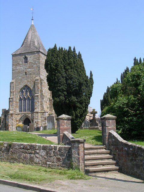
St Mary's Church, Ticehurst
St Mary's Church is a 14th-century parish church dedicated to St Mary the Virgin in Ticehurst, East Sussex, England. Part of the Diocese of Chichester...
Weald
The Weald () is an area of South East England between the parallel chalk escarpments of the North and the South Downs. It crosses the counties of Hampshire...
Ticehurst
Ticehurst is both a village and a large civil parish in the Rother district of East Sussex, England. The parish lies in the upper reaches of both the Bewl...

St Augustine's Church, Flimwell
St Augustine's Church is the Anglican parish church of Flimwell, a village in the Rother district of East Sussex, England. It was consecrated in 1839 after...
Related Videos

Hiking to Medieval Castles in High Weald, England | Lejog Training Ep.23
In this hiking vlog I hike to medieval castles in a stunning part of the English Countryside called High Weald! High Weald, UK is ...

High Weald Nature beauty #adventure #hikeuk #hikergirl
I can't think of anything that excites a greater sense of childlike wonder than to be in a country where you are ignorant of almost ...

High Weald Landscape Photography
The High Weald stretches from the coast in East Sussex into Kent and to a lesser extent west Sussex and Surrey. Although greatly ...

Permitted Exercise: Walking the loop
Just a month ago the idea of “Permitted Daily Exercise” would have been an alien concept, yet now its a part of virtually ...
Nearby Amenities
Located within 500m of 51.022097,0.43397955Have you been to Fleet Wood?
Leave your review of Fleet Wood below (or comments, questions and feedback).