Dumfriesshire
Historic County in
Scotland
Dumfriesshire
Dumfriesshire is a historic county located in the southern part of Scotland. It is situated on the border with England and is part of the Dumfries and Galloway council area. With a rich history and stunning natural landscapes, Dumfriesshire is a popular destination for tourists and history enthusiasts.
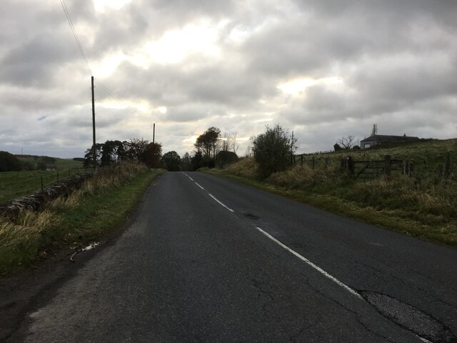
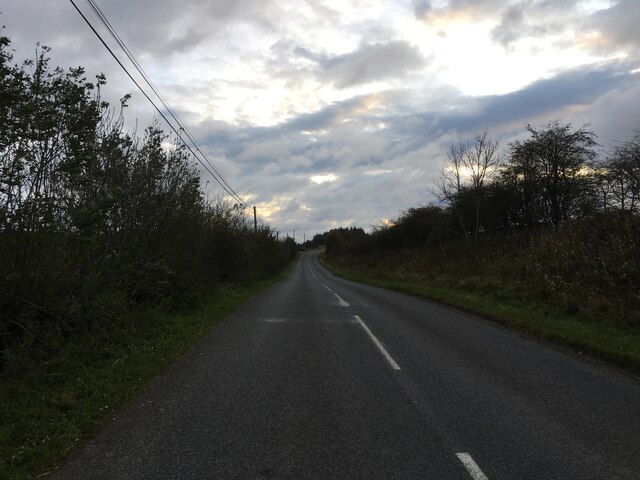
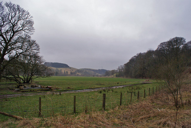
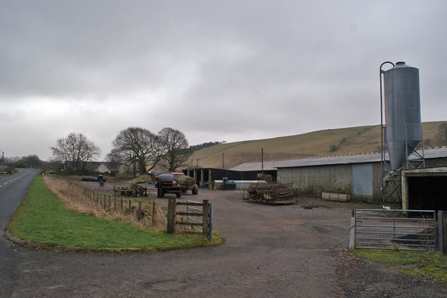
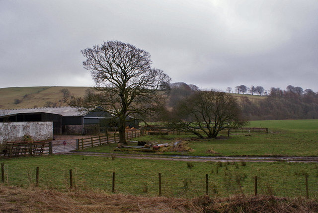
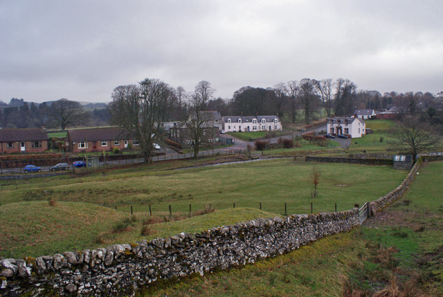
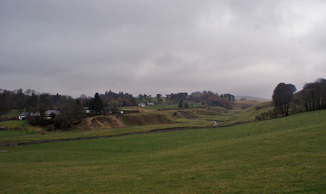
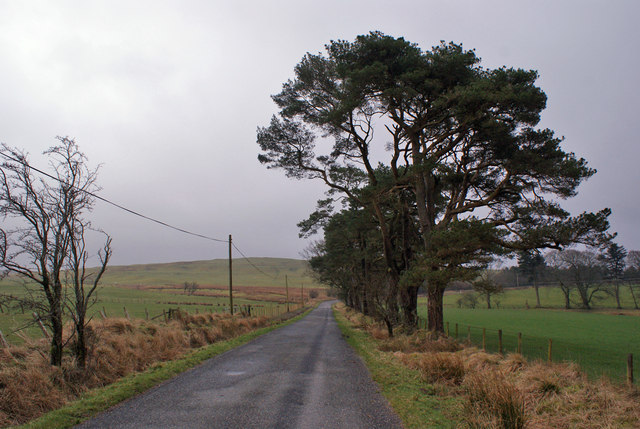
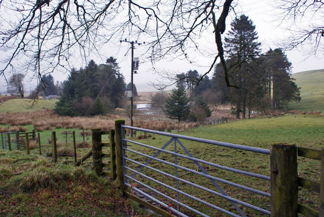
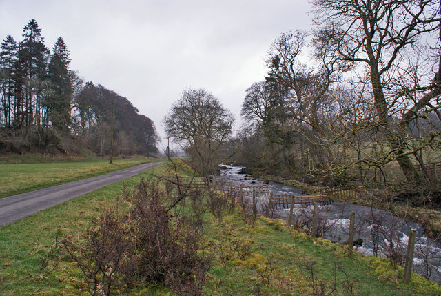
The county is known for its picturesque countryside, with rolling hills, tranquil rivers, and charming villages. The scenic Southern Uplands dominate the western part of Dumfriesshire, while the Solway Firth coastline stretches along its southern border. These diverse landscapes provide ample opportunities for outdoor activities such as hiking, fishing, and wildlife watching.
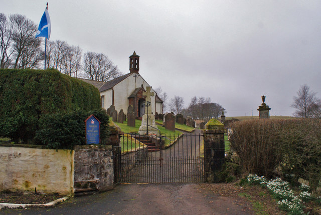
Historically, Dumfriesshire has been a significant area due to its strategic location on the border. Castles and fortified towers, including Drumlanrig Castle and Caerlaverock Castle, still stand as reminders of the county's turbulent past. Visitors can explore these ancient structures and learn about the rich tapestry of battles and conflicts that took place in the region.
Dumfriesshire is also renowned for its connections to famous historical figures. The renowned poet Robert Burns spent the last years of his life in Dumfries, and his former residence is now a museum dedicated to his life and works. Additionally, the county boasts connections to other notable figures such as Thomas Carlyle, James Clerk Maxwell, and J.M. Barrie.
Today, Dumfriesshire offers a blend of history, natural beauty, and cultural heritage. Whether it is exploring ancient castles, indulging in outdoor pursuits, or delving into the region's rich literary history, Dumfriesshire has something to offer every visitor.
If you have any feedback on the listing, please let us know in the comments section below.
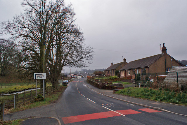
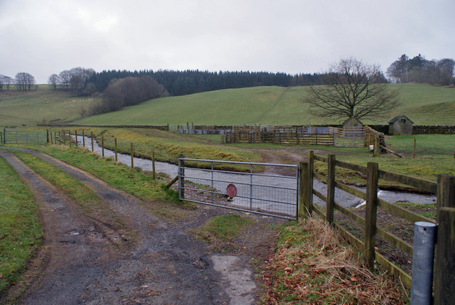
Dumfriesshire Images
Images are sourced within 2km of 55.2065/-3.3066 or Grid Reference NY1691. Thanks to Geograph Open Source API. All images are credited.
Dumfriesshire is located at Grid Ref: NY1691 (Lat: 55.2065, Lng: -3.3066)
What 3 Words
///originate.foiled.desiring. Near Johnstonebridge, Dumfries & Galloway
Nearby Locations
Related Wikis

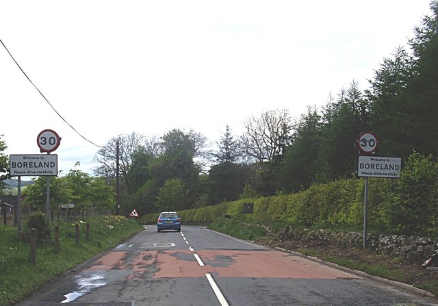
Boreland
Boreland is a village in Dumfries and Galloway, Scotland, which is located in Dryfesdale about 7 miles (11 kilometres) north of Lockerbie on the B723 road...
Sibbaldbie
Sibbaldbie is a small village in Annandale, Dumfries and Galloway, Scotland. == References ==

Dinwoodie railway station
Dinwoodie railway station was a station which served the rural area around the settlement of Dinwoodie, 6 miles north of Lockerbie in Applegarth parish...

Whitcastles stone circle
Whitcastles or Little Hartfell (grid reference NY 2240 8806) is a stone circle 6½ miles NE of Lockerbie, Dumfries and Galloway. Nine fallen stones lie...

Annandale Water services
Annandale Water services is a motorway service station in the village of Johnstonebridge, Scotland. The service station is located next to the A74(M) motorway...

Annandale Water
Annandale Water is a loch in Annandale, Dumfries and Galloway, in the south west of Scotland. It is part of Annandale Water service station at Junction...

Newton Wamphray
Newton Wamphray is a village in Dumfries and Galloway. Wamphray is the name of the surrounding parish and of the Wamphray Water, which flows south-west...

Wamphray railway station
Wamphray railway station served Newton Wamphray, near Beattock, in the Scottish county of Dumfries and Galloway. It was served by local trains on what...
Nearby Amenities
Located within 500m of 55.2065,-3.3066Have you been to Dumfriesshire?
Leave your review of Dumfriesshire below (or comments, questions and feedback).