Cromartyshire
Historic County in
Scotland
Cromartyshire

Cromartyshire, also known as the County of Cromarty, is a historic county located in the northern part of Scotland. Situated on the eastern coast, it covers an area of approximately 570 square miles. Cromartyshire borders the counties of Ross-shire to the south and Sutherland to the north.
The county is named after the town of Cromarty, which serves as its administrative center. Cromartyshire boasts a rich history, with evidence of human settlements dating back to prehistoric times. Throughout the centuries, the area has been inhabited by various cultures, including Picts, Vikings, and Scots.
The landscape of Cromartyshire is characterized by a diverse mix of coastal features, rolling hills, and fertile farmland. The county is renowned for its stunning natural beauty, with picturesque views of the Cromarty Firth and the North Sea. The region is also home to several nature reserves, offering opportunities for wildlife spotting and outdoor activities.
Historically, Cromartyshire played a significant role in Scotland's maritime industry. The port of Cromarty served as a major trading hub, particularly during the 18th and 19th centuries. Today, remnants of this maritime heritage can be seen in the town's architecture, with well-preserved Georgian and Victorian buildings lining its streets.
Cromartyshire is also known for its cultural heritage. The county has a vibrant arts scene, with numerous galleries, studios, and theaters showcasing the work of local artists. The area is also home to several historic sites and museums, allowing visitors to delve into the past and learn about Cromartyshire's fascinating history.
Overall, Cromartyshire offers a unique blend of natural beauty, rich history, and cultural attractions, making it an enticing destination for both locals and tourists alike.
If you have any feedback on the listing, please let us know in the comments section below.
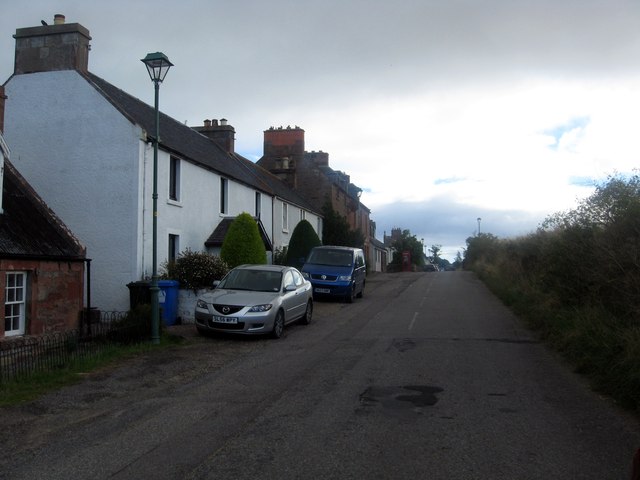
Cromartyshire Images
Images are sourced within 2km of 57.6582/-4.14769 or Grid Reference NH7165. Thanks to Geograph Open Source API. All images are credited.


Cromartyshire is located at Grid Ref: NH7165 (Lat: 57.6582, Lng: -4.14769)
What 3 Words
///beaten.delivers.coiling. Near Invergordon, Highland
Nearby Locations
Related Wikis

Jemimaville
Jemimaville is a small village in the Highland region of Scotland. It sits on the northern coast of the Black Isle, overlooking the Cromarty Firth. The...

Cromarty Firth
The Cromarty Firth ( ; Scottish Gaelic: Caolas Chrombaidh [ˈkʰɯːlˠ̪əs̪ ˈxɾɔumbaj]; literally "kyles [straits] of Cromarty") is an arm of the Moray Firth...

Invergordon
Invergordon (; Scottish Gaelic: Inbhir Ghòrdain or An Rubha) is a town and port in Easter Ross, in Ross and Cromarty, Highland, Scotland. It lies in the...

Invergordon Town Hall
Invergordon Town Hall is a municipal building in the High Street in Invergordon in the Highland area of Scotland. The structure, which is used as a community...
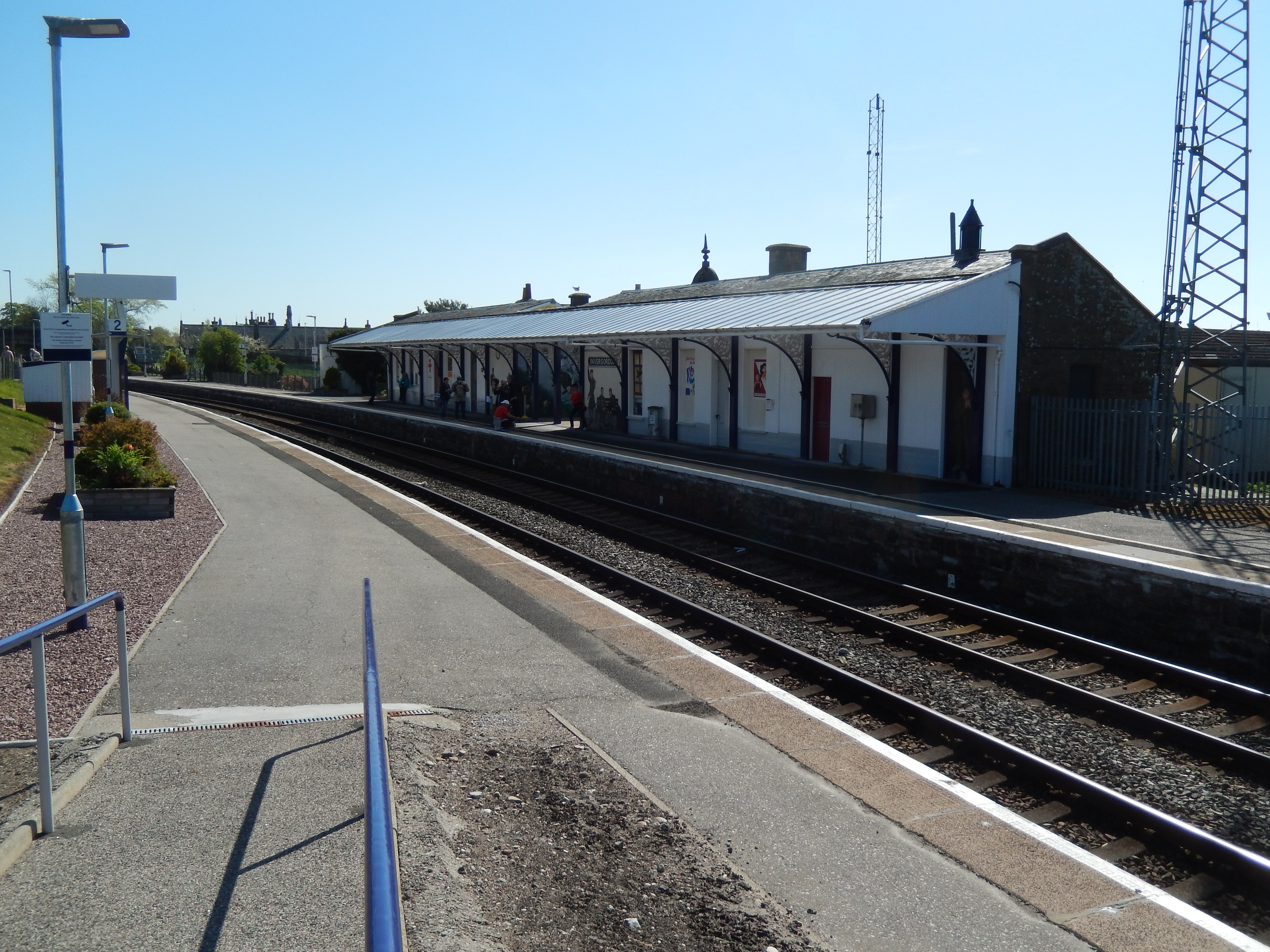
Invergordon railway station
Invergordon railway station is a railway station serving the town of Invergordon on the Cromarty Firth, in the Highland council area of Scotland. It is...

Ben Wyvis distillery
Ben Wyvis distillery was a producer of single malt Scotch whisky that operated between 1965 and 1977. == History == The first distillery to use the name...
Invergordon F.C.
Invergordon Football Club are a senior football club from Invergordon in the Scottish Highlands. They compete in the North Caledonian Football League and...

Rosskeen
Rosskeen is a parish in Ross and Cromarty on the Cromarty Firth in northern Scotland, containing the settlements of Invergordon, Bridgend and Saltburn...
Nearby Amenities
Located within 500m of 57.6582,-4.14769Have you been to Cromartyshire?
Leave your review of Cromartyshire below (or comments, questions and feedback).