Clackmannanshire
Historic County in
Scotland
Clackmannanshire
Clackmannanshire is a historic county located in central Scotland. It is one of the smallest counties in Scotland, spanning an area of just 61 square miles (157 square kilometers). The county is bordered by the River Forth to the south, which separates it from the counties of Stirlingshire and Fife.
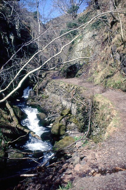
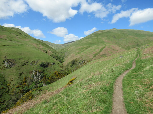
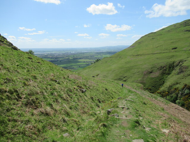
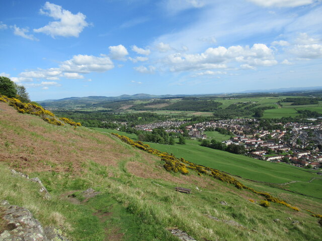
The landscape of Clackmannanshire is characterized by rolling hills and fertile agricultural land. The Ochil Hills dominate the northern part of the county, providing stunning views and numerous opportunities for outdoor activities such as hiking and cycling. The River Devon flows through the heart of Clackmannanshire, offering picturesque scenery and fishing spots.
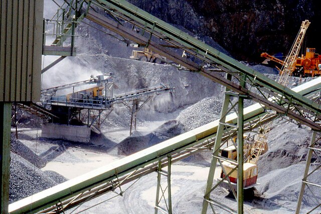
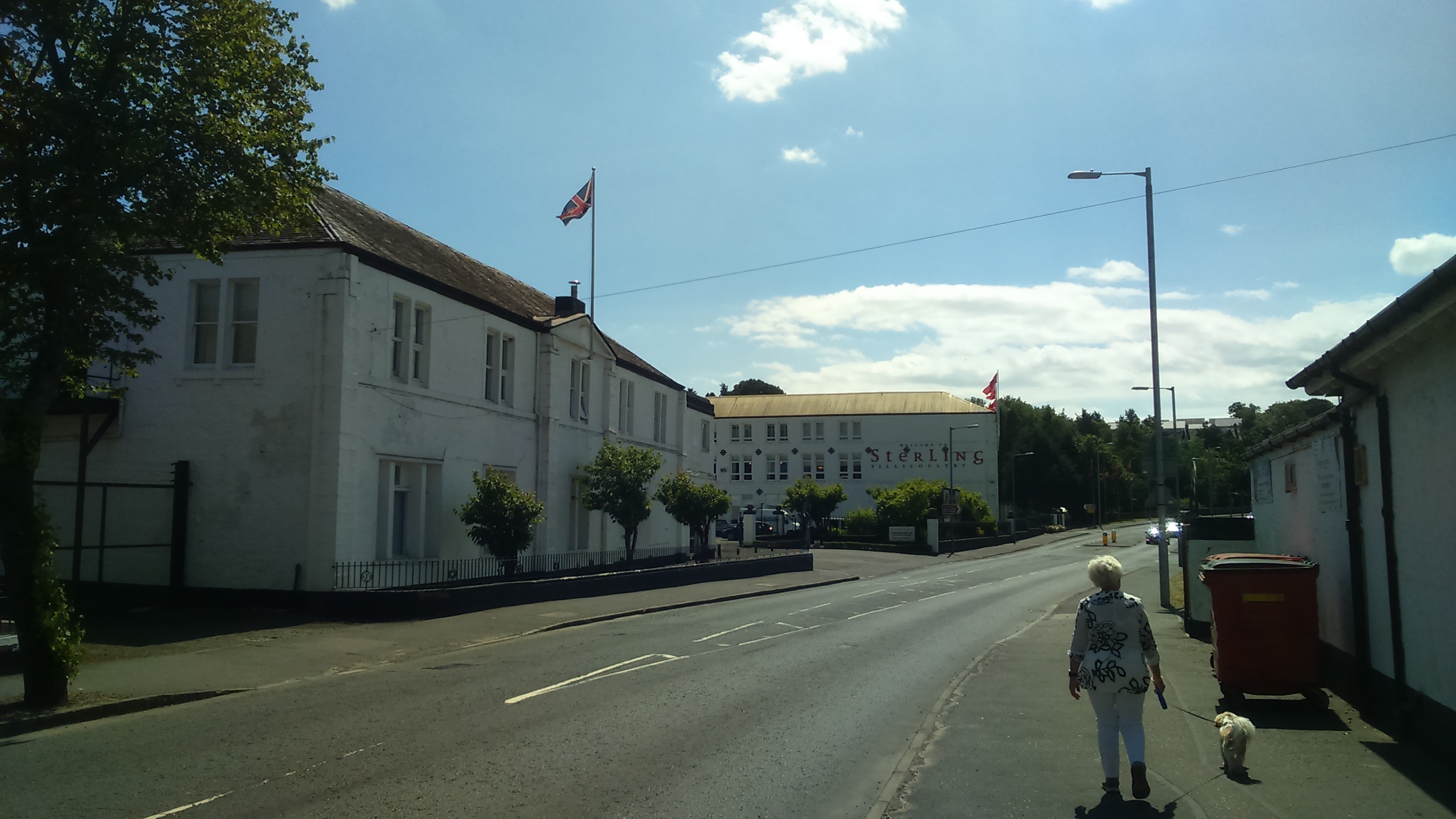
The county is home to several towns and villages, including the administrative center of Alloa. Alloa is the largest town in Clackmannanshire and has a rich industrial heritage, particularly in the brewing and coal mining industries. Other notable towns include Tillicoultry, Dollar, and Menstrie, each with its own unique charm and attractions.
Clackmannanshire is also renowned for its historical and cultural landmarks. The iconic Clackmannanshire Tower, also known as Alloa Tower, is a well-preserved medieval tower house that offers visitors a glimpse into the county's past. The nearby Gartmorn Dam Country Park is a popular destination for nature lovers, with its beautiful reservoir and woodland walks.
Overall, Clackmannanshire may be small in size, but it boasts a rich history, stunning natural landscapes, and a welcoming community, making it an attractive destination for both residents and visitors alike.
If you have any feedback on the listing, please let us know in the comments section below.
Clackmannanshire Images
Images are sourced within 2km of 56.1477/-3.7388 or Grid Reference NS9296. Thanks to Geograph Open Source API. All images are credited.


Clackmannanshire is located at Grid Ref: NS9296 (Lat: 56.1477, Lng: -3.7388)
What 3 Words
///servants.unable.reefs. Near Tillicoultry, Clackmannanshire
Nearby Locations
Related Wikis

Tillicoultry railway station
Tillicoultry railway station served the town of Tillicoultry, Clackmannanshire, Scotland from 1851 to 1964 on the Devon Valley Railway and the Stirling...
Tillicoultry
Tillicoultry ( TIL-ee-KOO-tree; Scottish Gaelic: Tulach Cultraidh, perhaps from older Gaelic Tullich-cul-tir, or "the mount/hill at the back of the country...

Coalsnaughton
Coalsnaughton or Calibar (Scottish Gaelic: Caolas Neachdainn) is a village in Clackmannanshire, Scotland. It is just south of Tillicoultry of which it...
Glenfoot railway station
Glenfoot railway station was a temporary terminus that served the town of Tillicoultry, Clackmannanshire, Scotland in 1851 on the Devon Valley Railway...

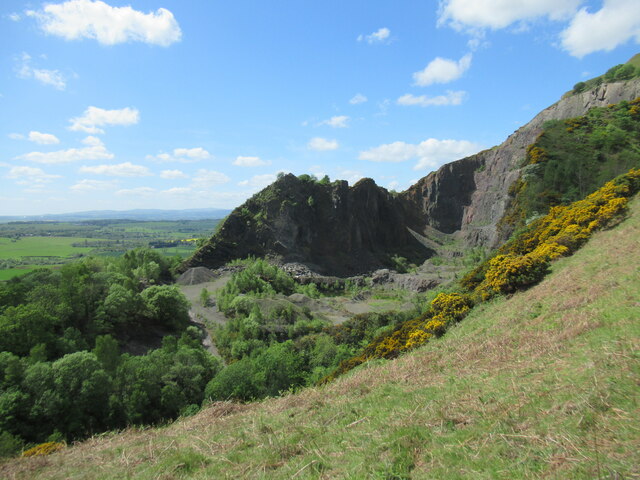
Ochil Fault
The Ochil Fault is the geological feature which defines the southern edge of the Ochil Hills escarpment in Scotland. North of the fault, Devonian lava...

Harviestoun
Harviestoun is an estate in Tillicoultry parish, Clackmannanshire, central Scotland. It lies at the base of the Ochil Hills, around 1.5 kilometres (0.93...

Gartmorn Dam
Gartmorn Dam is an artificial freshwater lake north-east of Alloa, Clackmannanshire, Scotland, UK, built in 1711-12 as a reservoir to supply water to hydraulic...

Clackmannanshire
Clackmannanshire ( ; Scots: Clackmannanshire; Scottish Gaelic: Siorrachd Chlach Mhanann), or the County of Clackmannan, is a historic county, council area...
Nearby Amenities
Located within 500m of 56.1477,-3.7388Have you been to Clackmannanshire?
Leave your review of Clackmannanshire below (or comments, questions and feedback).